A' Chraisg
Hill, Mountain in Sutherland
Scotland
A' Chraisg
A' Chraisg is a prominent hill located in the county of Sutherland, Scotland. Standing at an elevation of 608 meters (1,995 feet), it is considered a Munro, a term used to describe a Scottish mountain with a height above 3,000 feet (914 meters). A' Chraisg is part of the Fannaichs mountain range, which is renowned for its stunning scenery and challenging hiking trails.
The hill is situated in a remote and isolated area, surrounded by vast moorland and rocky terrain. Its distinctive shape, with a steep and rugged slope, makes it a prominent landmark in the region. A' Chraisg is composed mainly of quartzite, giving it a unique pale coloration that contrasts with the greenery of the surrounding landscape.
Reaching the summit of A' Chraisg requires a moderate level of fitness and navigation skills, as the ascent can be steep and treacherous in some sections. However, the effort is rewarded with breathtaking panoramic views of the surrounding mountains, lochs, and glens. On a clear day, it is possible to see as far as the distant peaks of the Cairngorms National Park.
A' Chraisg is a popular destination for outdoor enthusiasts, attracting hikers, mountaineers, and nature lovers from all over the world. The hill offers a sense of tranquility and solitude, allowing visitors to escape the hustle and bustle of everyday life and immerse themselves in the raw beauty of the Scottish Highlands.
If you have any feedback on the listing, please let us know in the comments section below.
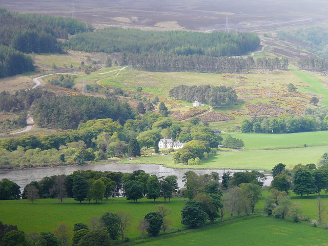
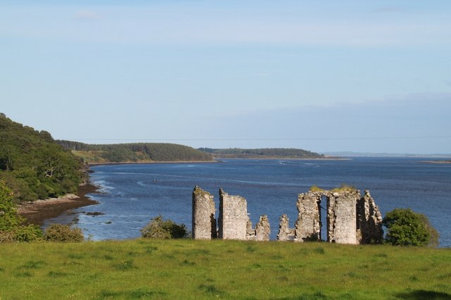
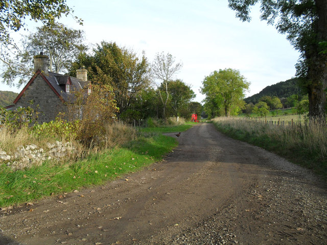
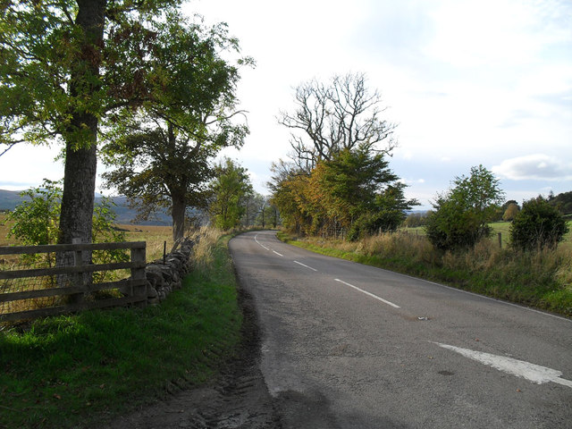
A' Chraisg Images
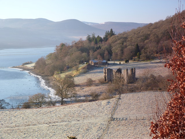
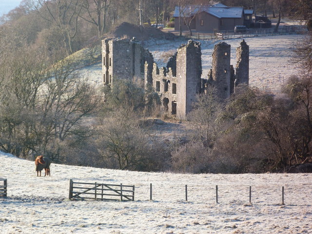
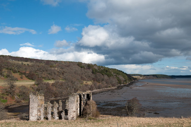
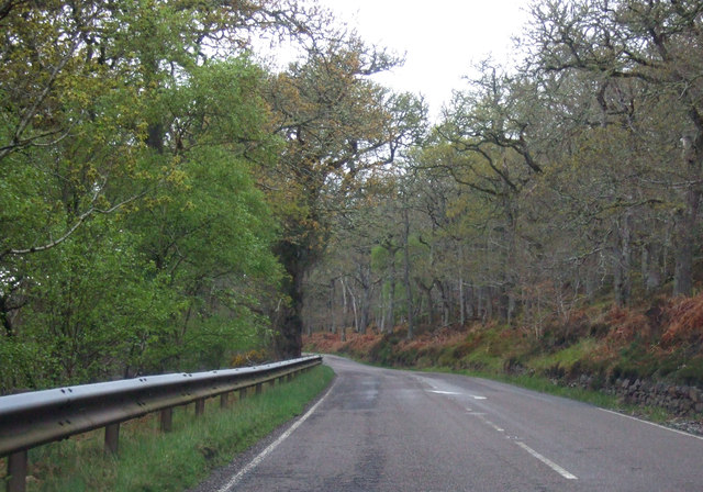
Images are sourced within 2km of 57.874983/-4.2618772 or Grid Reference NH6589. Thanks to Geograph Open Source API. All images are credited.


A' Chraisg is located at Grid Ref: NH6589 (Lat: 57.874983, Lng: -4.2618772)
Unitary Authority: Highland
Police Authority: Highlands and Islands
What 3 Words
///troll.copycat.curiosity. Near Dornoch, Highland
Nearby Locations
Related Wikis

Spinningdale
Spinningdale (Scottish Gaelic: Spainnigeadal) is a hamlet, in the Parish of Creich, on the north shore of the Dornoch Firth in eastern Sutherland, in the...

A949 road
The A949 is a major road in Sutherland, in the Highland area of Scotland. It has staggered junctions with the A9. From the A949 the A9 runs (1) generally...

Creich
Creich (Scottish Gaelic: Craoich, pronounced [kʰɾɯːç]) is a substantial parish on the north side of the Dornoch Firth the largest settlement being Bonar...

Loch Migdale
Loch Migdale is a freshwater loch (Lake) near Bonar Bridge, in Sutherland, Highland, Scotland. The loch contains a crannog (artificial-island home) dating...
Nearby Amenities
Located within 500m of 57.874983,-4.2618772Have you been to A' Chraisg?
Leave your review of A' Chraisg below (or comments, questions and feedback).