Barewing Hill
Hill, Mountain in Kirkcudbrightshire
Scotland
Barewing Hill
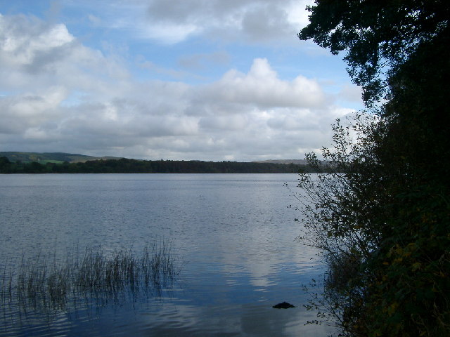
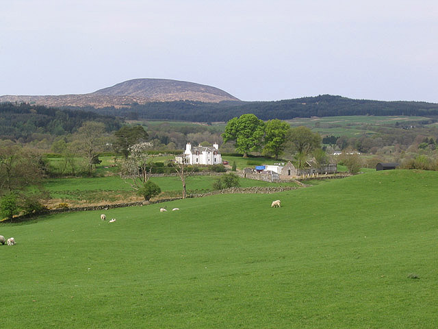
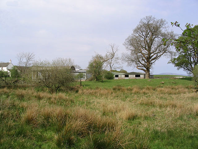
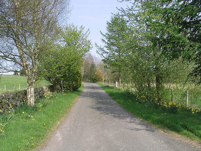
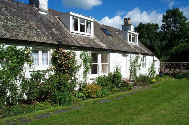
Barewing Hill is a prominent hill located in the region of Kirkcudbrightshire, Southwest Scotland. Standing at an elevation of approximately 426 meters (1,398 feet), it is considered a notable landmark in the area. The hill is situated near the charming rural village of Gatehouse of Fleet, just a few miles inland from the Solway Firth coastline.
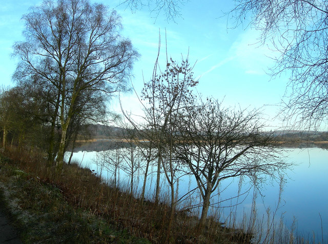
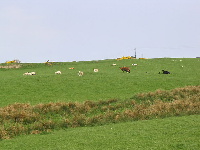
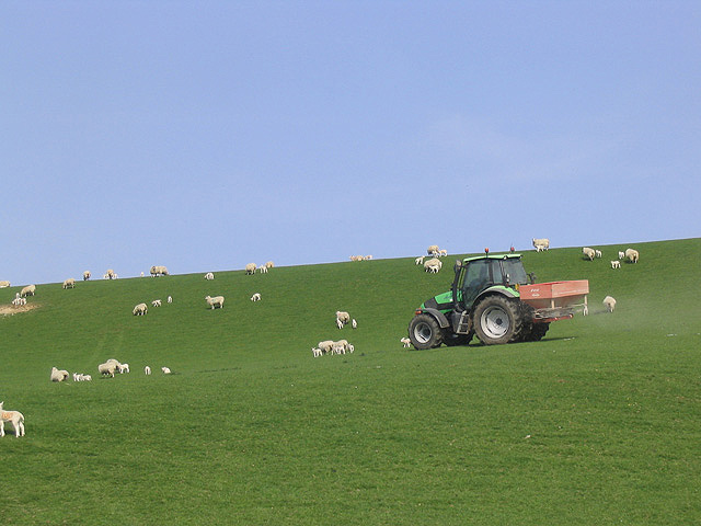
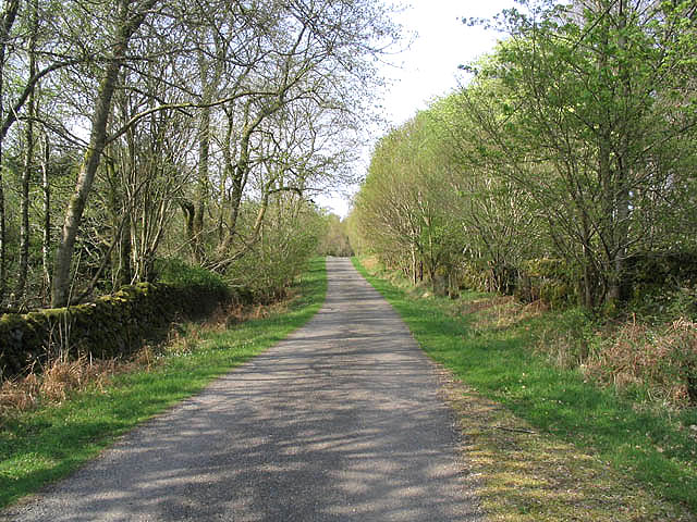
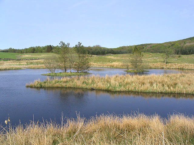
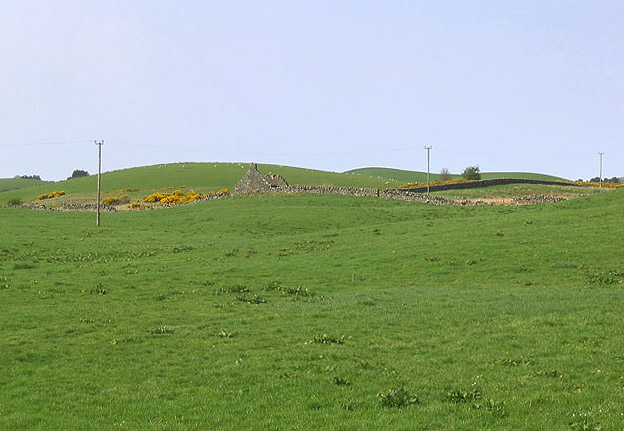
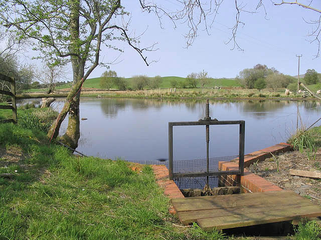
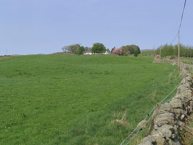
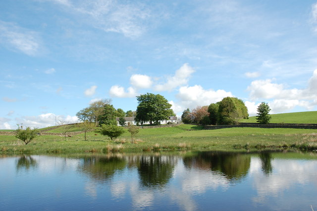
Barewing Hill boasts stunning panoramic views of the surrounding countryside, offering visitors a picturesque sight of the rolling hills and picturesque farmland that characterizes the region. The hill is predominantly covered in grass and heather, providing a beautiful contrast of green and purple hues throughout the year. The terrain is relatively gentle, making it accessible to both experienced hikers and casual walkers.
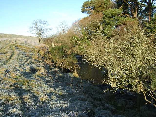
Its location within the Galloway Forest Park, one of the UK's largest forests, adds to the allure of Barewing Hill. The park is renowned for its rich flora and fauna, and visitors may encounter various wildlife species such as red deer, buzzards, and various songbirds during their ascent.
The summit of Barewing Hill features a trig point, which is a concrete pillar used in surveying. This allows hikers to accurately determine their elevation and serves as a popular spot for photographs. On clear days, the panoramic views from the summit stretch across the rolling hills of Galloway, with glimpses of the Solway Firth and even the distant peaks of the Lake District in England.
Overall, Barewing Hill offers a delightful outdoor experience, combining natural beauty, scenic views, and the opportunity to explore the enchanting landscape of Kirkcudbrightshire.
If you have any feedback on the listing, please let us know in the comments section below.
Barewing Hill Images
Images are sourced within 2km of 55.05915/-4.1011305 or Grid Reference NX6575. Thanks to Geograph Open Source API. All images are credited.

Barewing Hill is located at Grid Ref: NX6575 (Lat: 55.05915, Lng: -4.1011305)
Unitary Authority: Dumfries and Galloway
Police Authority: Dumfries and Galloway
What 3 Words
///parkland.converged.looked. Near Castle Douglas, Dumfries & Galloway
Nearby Locations
Related Wikis

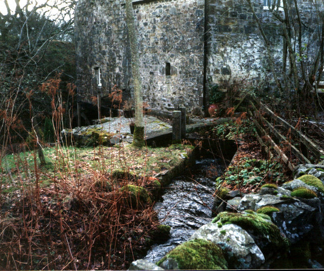
Ironmacannie Mill
Ironmacannie Mill is a historic watermill near Balmaclellan in Dumfries and Galloway, Scotland. Built in the 18th and 19th centuries, on the site of an...

Galloway
Galloway (Scottish Gaelic: Gall-Ghàidhealaibh [ˈkal̪ˠaɣəl̪ˠu]; Scots: Gallowa; Latin: Gallovidia) is a region in southwestern Scotland comprising the historic...

Kenmure Castle
Kenmure Castle is a fortified house or castle in The Glenkens, 1 mile (1.6 km) south of the town of New Galloway in Kirkcudbrightshire, Galloway, south...

New Galloway
New Galloway (Scottish Gaelic: Gall-Ghàidhealaibh Nuadh) is a town in the historical county of Kirkcudbrightshire in Dumfries and Galloway. It lies on...

New Galloway Town Hall
The New Galloway Town Hall is a municipal building in Dumfries and Galloway, Scotland, situated on the town's high street. A tolbooth has existed on the...

Ken Bridge
The Ken Bridge is a road bridge about 0.8 kilometres (0.5 mi) north east of New Galloway in Dumfries and Galloway, Scotland, which carries the A712 road...

Water of Ken
The Water of Ken is a river in the historical county of Kirkcudbrightshire in Galloway, south-west Scotland.It rises on Blacklorg Hill, north-east of Cairnsmore...

Balmaclellan
Balmaclellan (Scottish Gaelic: Baile Mac-a-ghille-dhiolan, meaning town of the MacLellans) is a small hillside village of stone houses with slate roofs...
Nearby Amenities
Located within 500m of 55.05915,-4.1011305Have you been to Barewing Hill?
Leave your review of Barewing Hill below (or comments, questions and feedback).