Blue Hill

Hill, Mountain in Kirkcudbrightshire

Scotland

Blue Hill

War memorial above Balmaclellan Balmaclellan's war memorial is on the north side of the A712 above the small settlement which is out of view.
War memorial above Balmaclellan Credit: Trevor Littlewood

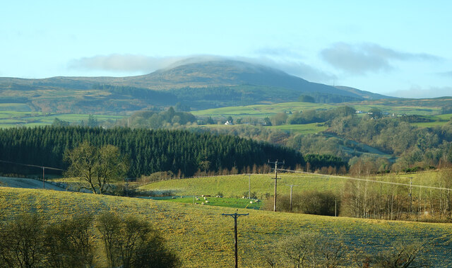
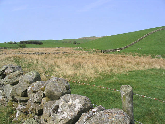
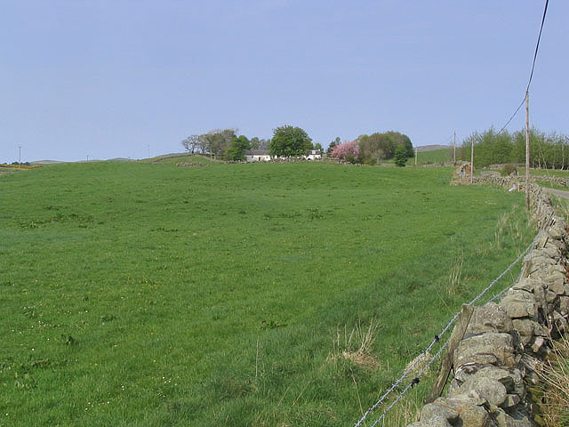
Blue Hill is a prominent hill located in Kirkcudbrightshire, a historic county in southwest Scotland. Situated near the town of Gatehouse of Fleet, Blue Hill is part of the larger Galloway Hills range, known for its stunning natural beauty and diverse wildlife.

Standing at an elevation of approximately 427 meters (1,400 feet), Blue Hill offers breathtaking panoramic views of the surrounding countryside. Its distinct blue-gray hue, which gives the hill its name, is caused by the presence of blue granite in its composition. This granite has been utilized extensively in local construction projects over the years.

The hill is a popular destination for outdoor enthusiasts, offering a variety of recreational activities. Hiking and hillwalking are particularly popular, with well-marked trails leading to the summit. The climb is of moderate difficulty, but the reward of reaching the top is well worth the effort. On a clear day, visitors can see as far as the Solway Firth and even catch a glimpse of the Isle of Man in the distance.

Blue Hill is also home to a rich array of wildlife and plant species. The surrounding area is designated as a Site of Special Scientific Interest (SSSI) due to its unique ecological importance. Rare birds such as peregrine falcons and red kites can often be observed soaring above the hill, while the heather-covered slopes provide a habitat for a variety of small mammals and insects.

Overall, Blue Hill is a captivating natural landmark that offers both stunning views and a chance to immerse oneself in the beauty of Kirkcudbrightshire's countryside.

If you have any feedback on the listing, please let us know in the comments section below.
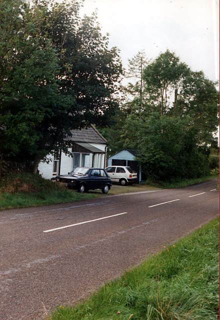
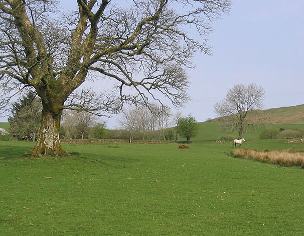
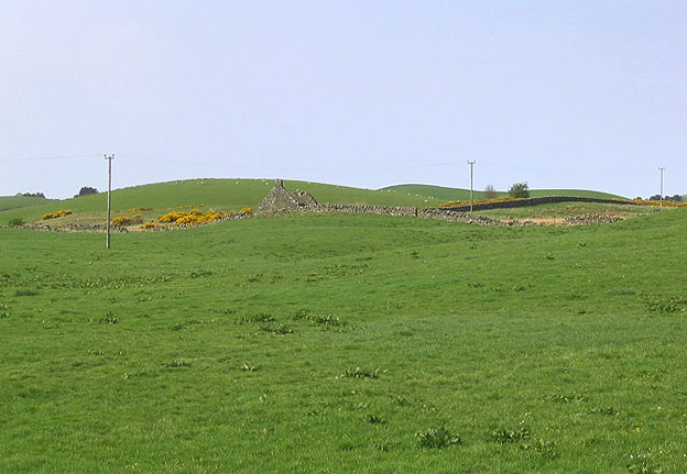
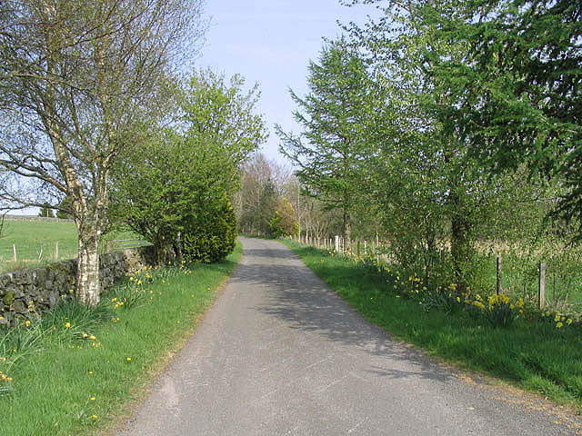
Blue Hill Images

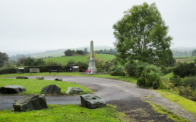
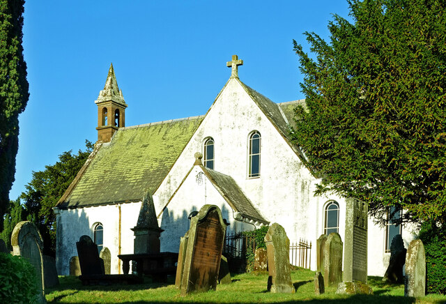
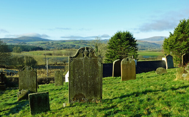
Images are sourced within 2km of 55.080455/-4.1025453 or Grid Reference NX6578. Thanks to Geograph Open Source API. All images are credited.

War memorial above Balmaclellan Balmaclellan's war memorial is on the north side of the A712 above the small settlement which is out of view.
War memorial above Balmaclellan
Balmaclellan's war memorial is on the north side of the A712 above the small settlement which is out of view.
Balmaclellan Church Many of these churches in small rural communities have monthly Sunday services. Balmaclellan’s turn is the first Sunday of each month.
Balmaclellan Church
Many of these churches in small rural communities have monthly Sunday services. Balmaclellan’s turn is the first Sunday of each month.
Balmaclellan Graveyard The gravestones show that this is a very old religious site with burials recorded in the early 18th century.
Balmaclellan Graveyard
The gravestones show that this is a very old religious site with burials recorded in the early 18th century.
Balmaclellan Graveyard view There can’t be many churches that enjoy such a wonderful view of the local countryside. Mulloch Hill is shown on the skyline.
Balmaclellan Graveyard view
There can’t be many churches that enjoy such a wonderful view of the local countryside. Mulloch Hill is shown on the skyline.
Parking area beside the A713 near New Galloway
Balmaclellan Monument View of the monument and hills in distance
Balmaclellan Monument
View of the monument and hills in distance
Ken Bridge and Ken Bridge Hotel Looking east over the Water of Ken, which flows into Loch Ken, to the right of the photo, about 3km away.
Ken Bridge and Ken Bridge Hotel
Looking east over the Water of Ken, which flows into Loch Ken, to the right of the photo, about 3km away.
The Ken Bridge Hotel, near New Galloway
Bogleknowe Bogleknowe Cottage on the A712 heading towards Balmaclellan
Bogleknowe
Bogleknowe Cottage on the A712 heading towards Balmaclellan
Horses in a field To the east of Ironlosh and viewed from the A712.
Horses in a field
To the east of Ironlosh and viewed from the A712.
Milestone by the A713 Marked D with a 3 below for the three miles to St John's Town of Dalry.
Milestone by the A713
Marked D with a 3 below for the three miles to St John's Town of Dalry.
Cubbox Farm
Cubbox Farm
Ruined building Viewed from a minor road near Barnhillies Farm.
Ruined building
Viewed from a minor road near Barnhillies Farm.
Country road To the south of Blowplain Farm.
Country road
To the south of Blowplain Farm.
Farmland Viewed from a minor road near Lochside Farm.
Farmland
Viewed from a minor road near Lochside Farm.
Pasture near Barnhillies Farm Viewed from a minor road with cottages at Barnhillies in the background.
Pasture near Barnhillies Farm
Viewed from a minor road with cottages at Barnhillies in the background.
New house New house being built on the staggered crossroads by the Bridge of Ken.
New house
New house being built on the staggered crossroads by the Bridge of Ken.
Flooding on the A712 near Kenbridge. This picture was taken after the road became passable.  It had been closed for several hours isolating the Royal Burgh of New Galloway.
Flooding on the A712 near Kenbridge.
This picture was taken after the road became passable. It had been closed for several hours isolating the Royal Burgh of New Galloway.
Show me another place!

Blue Hill is located at Grid Ref: NX6578 (Lat: 55.080455, Lng: -4.1025453)

Unitary Authority: Dumfries and Galloway

Police Authority: Dumfries and Galloway

What 3 Words

///safe.take.processor. Near Castle Douglas, Dumfries & Galloway

Related Wikis

Balmaclellan

Balmaclellan (Scottish Gaelic: Baile Mac-a-ghille-dhiolan, meaning town of the MacLellans) is a small hillside village of stone houses with slate roofs...

Ken Bridge

The Ken Bridge is a road bridge about 0.8 kilometres (0.5 mi) north east of New Galloway in Dumfries and Galloway, Scotland, which carries the A712 road...

Barscobe Castle

Barscobe Castle is a 17th-century tower house in Balmaclellan, Kirkcudbrightshire, Scotland. It is a typical house of a country laird, and according to...

New Galloway

New Galloway (Scottish Gaelic: Gall-Ghàidhealaibh Nuadh) is a town in the historical county of Kirkcudbrightshire in Dumfries and Galloway. It lies on...

Nearby Amenities

Located within 500m of 55.080455,-4.1025453
White Hill
Ele: 146
Natural: peak
Lat/Long: 55.0790687/-4.0979673
Croft Hill
Natural: peak
Lat/Long: 55.0767354/-4.0997955
Blue Hill
Ele: 153
Natural: peak
Lat/Long: 55.080364/-4.1027459
Cairny Hill
Ele: 140
Natural: peak
Lat/Long: 55.0776929/-4.1036182
Power: pole
Lat/Long: 55.0791642/-4.1041897
Power: pole
Lat/Long: 55.0844649/-4.1001957
Power: pole
Lat/Long: 55.0840041/-4.0992907
Power: pole
Lat/Long: 55.0835043/-4.0982837
Power: pole
Lat/Long: 55.0829984/-4.097283
Power: pole
Lat/Long: 55.0825741/-4.0964311
Power: pole
Lat/Long: 55.0820901/-4.0954836
Power: pole
Lat/Long: 55.0799668/-4.1037584
Power: pole
Lat/Long: 55.0807427/-4.1033356
Power: pole
Lat/Long: 55.0812303/-4.1030701
Power: pole
Lat/Long: 55.0819879/-4.1026537
Power: pole
Lat/Long: 55.0827565/-4.1022394
Power: pole
Lat/Long: 55.0835031/-4.1018379
Power: pole
Lat/Long: 55.0841622/-4.1014619
Power: pole
Lat/Long: 55.0833073/-4.096668
The data included in this document is from www.openstreetmap.org. The data is made available under ODbL.

Have you been to Blue Hill?

Leave your review of Blue Hill below (or comments, questions and feedback).