Holbrook

Settlement in Suffolk Babergh

England

Holbrook

Coxhall Road Towards Holbrook.
Coxhall Road Credit: Robin Webster

Holbrook is a charming village located in Suffolk, England. Situated on the Shotley Peninsula, it lies approximately 7 miles south of Ipswich and 10 miles north of Manningtree. With a population of around 2,000 residents, Holbrook embodies the quintessential English countryside, offering a peaceful and idyllic setting.

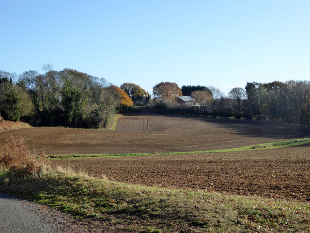
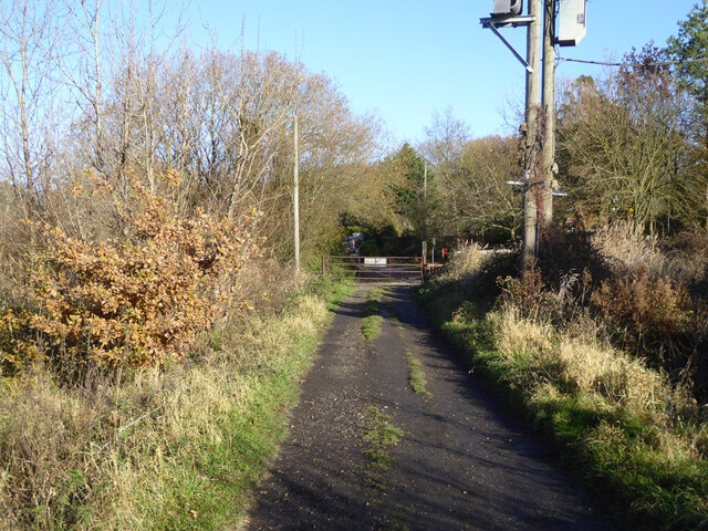
The village is surrounded by stunning natural beauty, nestled between the River Stour and the River Orwell. This picturesque location provides ample opportunities for outdoor activities such as walking, cycling, and boating. Holbrook also boasts several nature reserves, including the Holbrook Bay and Alton Water, which attract avid birdwatchers and wildlife enthusiasts.

Historically, Holbrook is renowned for its connection to the textile industry. In the 18th and 19th centuries, the village was a hub for cloth manufacturing, with numerous watermills and factories dotting the landscape. Today, remnants of this industrial past can still be seen in the form of converted mills and Victorian-era buildings.

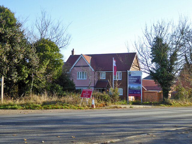
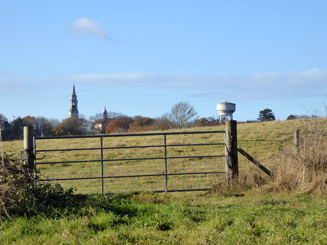
The heart of the village is adorned with a delightful array of traditional cottages and Georgian houses, giving it a timeless charm. The local community benefits from a range of amenities, including a primary school, post office, village hall, and a selection of local shops and pubs. The St. Mary's Church, dating back to the 14th century, is a prominent architectural landmark in Holbrook.

Overall, Holbrook offers a tranquil and scenic living environment, making it an ideal destination for those seeking a peaceful retreat from the hustle and bustle of city life.

If you have any feedback on the listing, please let us know in the comments section below.
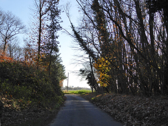
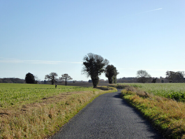
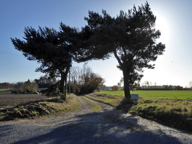
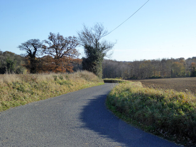
Holbrook Images

Images are sourced within 2km of 51.983754/1.1586167 or Grid Reference TM1636. Thanks to Geograph Open Source API. All images are credited.

Coxhall Road Towards Holbrook.
Coxhall Road
Towards Holbrook.
Hyams Lane Towards Holbrook.
Hyams Lane
Towards Holbrook.
Farmland with trees West of Holbrook.
Farmland with trees
West of Holbrook.
Track to Alton Hall Cottages Also a footpath to and over the Alton Water dam.
Track to Alton Hall Cottages
Also a footpath to and over the Alton Water dam.
Hyams Lane Towards Holbrook.
Hyams Lane
Towards Holbrook.
Fields SW of Holbrook
War memorial, Holbrook Grade II listed, 1921.
War memorial, Holbrook
Grade II listed, 1921.
B1080 Ipswich Road by The Compasses, Holbrook
Corner house, Admirals Quarter development, Holbrook At the time (2017), building was in hand, this corner was completed first.
Corner house, Admirals Quarter development, Holbrook
At the time (2017), building was in hand, this corner was completed first.
Fishponds Lane Crossing the dam of the largest fish pond (to the left).
Fishponds Lane
Crossing the dam of the largest fish pond (to the left).
View east from Harkstead Road Towards the Royal Hospital School.
View east from Harkstead Road
Towards the Royal Hospital School.
Cottages, Harkstead Road A grade II listed building, the right end older, 16th/17th century or earlier.
Cottages, Harkstead Road
A grade II listed building, the right end older, 16th/17th century or earlier.
Track up from Alton Wharf A public footpath.
Track up from Alton Wharf
A public footpath.
Alton Wharf, Holbrook Creek Off the Stour estuary.
Alton Wharf, Holbrook Creek
Off the Stour estuary.
Alton Wharf, Holbrook Creek Off the Stour estuary.
Alton Wharf, Holbrook Creek
Off the Stour estuary.
Boat, Holbrook Creek, low tide Just off Alton Wharf.
Boat, Holbrook Creek, low tide
Just off Alton Wharf.
Boats, Holbrook Creek, low tide The tower of the Royal Hospital School is in the distance.
Boats, Holbrook Creek, low tide
The tower of the Royal Hospital School is in the distance.
Very low cliff, Holbrook Bay Since late Victorian times, about 30 m of land has been lost here.
Very low cliff, Holbrook Bay
Since late Victorian times, about 30 m of land has been lost here.
Show me another place!

Holbrook is located at Grid Ref: TM1636 (Lat: 51.983754, Lng: 1.1586167)

Administrative County: Suffolk

District: Babergh

Police Authority: Suffolk

What 3 Words

///gangway.iteration.glides. Near Holbrook, Suffolk

Nearby Locations

Clifton Wood Holbrook

Related Wikis

Holbrook, Suffolk

Holbrook is a village situated close to the northern shore of the estuary of the River Stour, in Suffolk, England. It is located on the Shotley Peninsula...

Holbrook Academy, Suffolk

Holbrook Academy is a secondary school with academy status located in the village of Holbrook, 5 miles (8 km) south of Ipswich in the English county of...

Shotley Peninsula

The Shotley Peninsula is a rural area east of the A137 Ipswich-Colchester road located between the rivers Stour and Orwell in Suffolk, England. The peninsula...

Royal Hospital School

The Royal Hospital School (usually shortened as "RHS" and historically nicknamed "The Cradle of the Navy") is a British co-educational fee-charging boarding...

Nearby Amenities

Located within 500m of 51.983754,1.1586167
Turning Circle
Lat/Long: 51.9825427/1.1552915
Turning Circle
Lat/Long: 51.9859804/1.1549578
Pub
The Swan
Addr City: Ipswich
Addr Postcode: IP9 2PZ
Addr Street: The Street
Addr Village: Holbrook
Description: Closed in 2020, but has since been sold and there are hopes it will reopen.
Fhrs Id: 1431582
Lat/Long: 51.9849863/1.1569343
Bus Stop
Compasses
Bench: yes
Check Date Shelter: 2024-05-08
Lit: yes
Local Ref: adj
Naptan AtcoCode: 390010037
Naptan Bearing: N
Naptan CommonName: Compasses
Naptan Landmark: Compasses
Naptan NaptanCode: sufadatd
Naptan Street: Church Road
Naptan Verified: no
Public Transport: platform
Shelter: yes
Source: naptan_import
Lat/Long: 51.9828604/1.1583516
Bus Stop
Compasses
Bench: no
Bin: no
Lit: yes
Local Ref: opp
Naptan AtcoCode: 390010038
Naptan Bearing: S
Naptan BusStopType: CUS
Naptan CommonName: Compasses
Naptan Landmark: Compasses
Naptan NaptanCode: sufadatg
Naptan Street: Church Road
Naptan Verified: no
Public Transport: platform
Shelter: no
Source: naptan_import
Tactile Paving: no
Lat/Long: 51.9828515/1.1585654
Reade Road
Local Ref: opp
Naptan AtcoCode: 390010039
Naptan Bearing: SW
Naptan BusStopType: CUS
Naptan CommonName: Reade Road
Naptan Landmark: Reade Road
Naptan NaptanCode: sufadatj
Naptan Street: Heathfield Road
Naptan Verified: no
Source: naptan_import
Lat/Long: 51.9834555/1.1553174
Reade Road
Local Ref: adj
Naptan AtcoCode: 390010040
Naptan Bearing: NE
Naptan BusStopType: CUS
Naptan CommonName: Reade Road
Naptan Landmark: Reade Road
Naptan NaptanCode: sufadatm
Naptan Street: Heathfield Road
Naptan Verified: no
Source: naptan_import
Lat/Long: 51.9835273/1.1553225
Fire Station
Holbrook Fire Station
Lat/Long: 51.9813053/1.1579424
Power: pole
Lat/Long: 51.9800343/1.1558754
Power: pole
Lat/Long: 51.9799799/1.1558727
Power: pole
Lat/Long: 51.9797664/1.1563478
Holbrook
Place: village
Wikidata: Q2221986
Wikipedia: en:Holbrook, Suffolk
Lat/Long: 51.9835745/1.1577662
Post Box
Collection Times: Mo-Fr 16:45; Sa 09:45
Operator: Royal Mail
Operator Type: private
Operator Wikidata: Q638098
Post Box Design: type_b
Post Box Type: pillar
Ref: IP9 1193
Royal Cypher: EIIR
Royal Cypher Wikidata: Q33102113
Lat/Long: 51.9834779/1.1584282
Booth: K6
Removed Amenity: telephone
Lat/Long: 51.9828/1.1583619
Woody’s
Addr City: Ipswich
Addr Housename: Giles House
Addr Postcode: IP9 2PZ
Addr Street: The Street
Addr Village: Holbrook
Fhrs Id: 1395039
Operator: Independant
Shop: butcher
Source Addr: FHRS Open Data
Lat/Long: 51.9851367/1.1570885
Post Office
Holbrook Post Office
Addr City: Ipswich
Addr Housename: Co-Operative House
Addr Postcode: IP9 2PZ
Addr Street: The Street
Addr Village: Holbrook
Brand: Post Office
Brand Wikidata: Q1783168
Contact Website: https://www.postoffice.co.uk/branch-finder/3061302/holbrook
Opening Hours: Mo-Sa 07:00-21:00; Su 10:00-16:00
Ref Pol Id: 130124
Source Addr: pol_branch_list_2018-01
Source Opening Hours: pol_branch_list_2018-01
Lat/Long: 51.9851317/1.1565104
Atm
Lat/Long: 51.9851045/1.1566166
Defibrillator
Defibrillator Location: outside Co-op
Emergency: defibrillator
Indoor: no
Ref GB The Circuit: AF4B4467-BFA8-4996-9E72-AE9700AA24F1
Lat/Long: 51.985076/1.1566455
Turning Loop
Lat/Long: 51.9866196/1.1571536
Bicycle Parking
Bicycle Parking: stands
Capacity: 4
Covered: no
Lat/Long: 51.9827148/1.1583698
Waste Basket
Lat/Long: 51.9827679/1.1583778
Recycling
Recycling: paper
Recycling Soft Plastics: no
Recycling Type: container
Lat/Long: 51.9851992/1.1566264
Recycling
Recycling Glass Bottles: yes
Recycling Type: container
Lat/Long: 51.9856271/1.1566351
The data included in this document is from www.openstreetmap.org. The data is made available under ODbL.

Have you been to Holbrook?

Leave your review of Holbrook below (or comments, questions and feedback).