Blacklorg Hill

Hill, Mountain in Ayrshire

Scotland

Blacklorg Hill

Faint path high on the hillside above the Afton Reservoir We had missed the lower, possibly better, path on the east side of the reservoir while walking a complete circuit.  This was tussocky but not too muddy.
Faint path high on the hillside above the Afton Reservoir Credit: Gordon Brown

Blacklorg Hill is a prominent geographical feature located in Ayrshire, Scotland. Situated approximately 10 miles southeast of Ayr, it is classified as a hill rather than a mountain, standing at an elevation of 369 meters (1,211 feet) above sea level. The hill is part of the Carrick Hills range, which stretches across the southern part of Ayrshire.

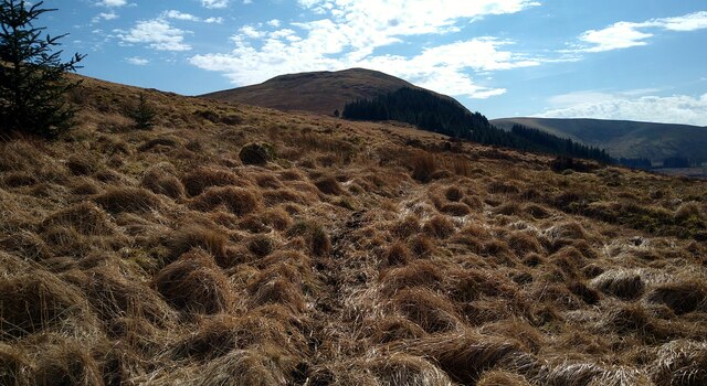
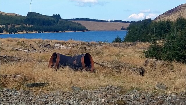
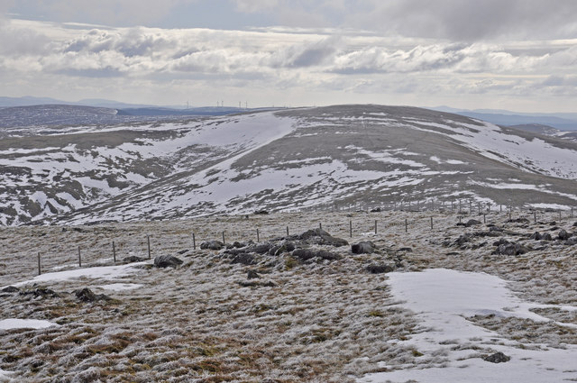
Blacklorg Hill boasts a distinct and recognizable profile, characterized by its steep slopes covered in heather and grasses. Its summit offers panoramic views of the surrounding countryside, including the nearby towns of Ayr, Maybole, and Girvan, as well as the Firth of Clyde and the Isle of Arran.

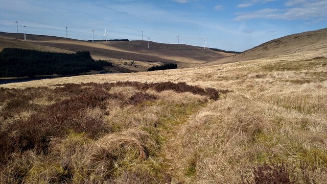
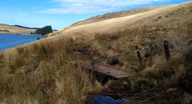
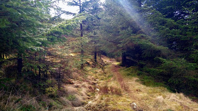
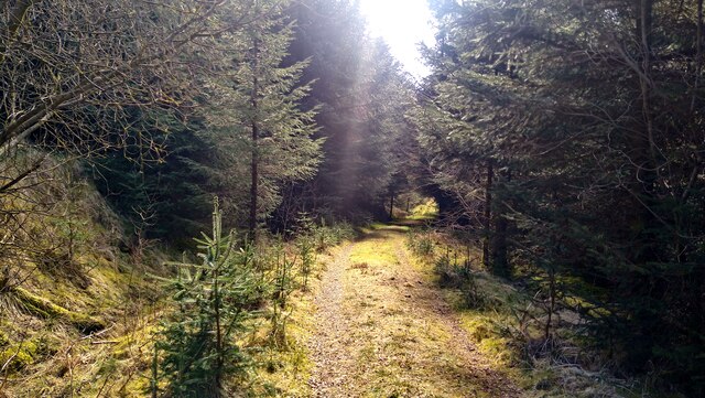
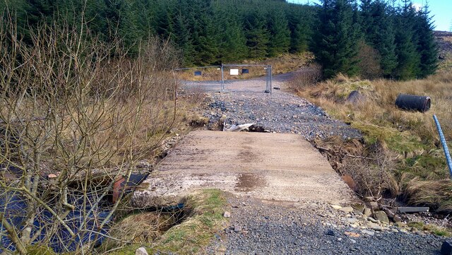
The hill is a popular destination for outdoor enthusiasts, hikers, and nature lovers. There are various trails and footpaths that lead to the summit, allowing visitors to explore the area's natural beauty and wildlife. The diverse flora and fauna found on Blacklorg Hill make it an excellent spot for birdwatching and nature photography.

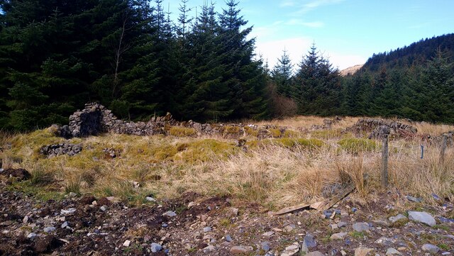
Aside from its recreational value, Blacklorg Hill also holds historical significance. The remains of ancient settlements, including cairns and standing stones, can be found in the vicinity, indicating human activity in the area dating back thousands of years.

Overall, Blacklorg Hill in Ayrshire offers a combination of natural beauty, recreational opportunities, and historical interest, making it a popular destination for locals and tourists alike.

If you have any feedback on the listing, please let us know in the comments section below.

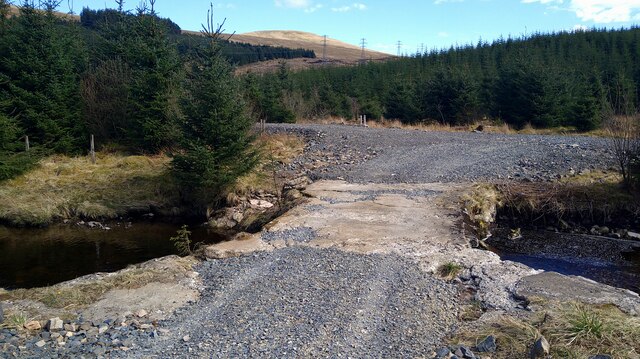
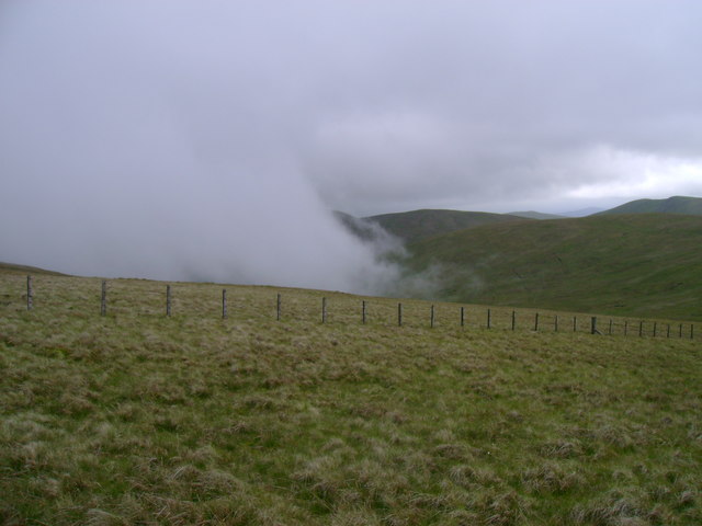
Blacklorg Hill Images

Images are sourced within 2km of 55.313805/-4.1225398 or Grid Reference NS6504. Thanks to Geograph Open Source API. All images are credited.

Faint path high on the hillside above the Afton Reservoir We had missed the lower, possibly better, path on the east side of the reservoir while walking a complete circuit.  This was tussocky but not too muddy.
Faint path high on the hillside above the Afton Reservoir
We had missed the lower, possibly better, path on the east side of the reservoir while walking a complete circuit. This was tussocky but not too muddy.
Faint path high on the hillside above the Afton Reservoir We had missed the lower, possibly better, path on the east side of the reservoir while walking a complete circuit. This was tussocky but not too muddy.
Faint path high on the hillside above the Afton Reservoir
We had missed the lower, possibly better, path on the east side of the reservoir while walking a complete circuit. This was tussocky but not too muddy.
Exit from the forest We had missed this lower, possibly better, path on the east side of the reservoir while walking a complete circuit. The high path was tussocky but not too muddy.
Exit from the forest
We had missed this lower, possibly better, path on the east side of the reservoir while walking a complete circuit. The high path was tussocky but not too muddy.
Sunlight on the path through the forest
Bridge over the Montraw Burn Fenced off to vehicles but passable on foot.
Bridge over the Montraw Burn
Fenced off to vehicles but passable on foot.
The ruins of Monthraw Cottage
The head of Afton Reservoir What looks like some water-board large piping left lying around.
The head of Afton Reservoir
What looks like some water-board large piping left lying around.
Bridge over the Alwhat Burn This area has seen a lot of forestry activity, plus wind farm development, hence the re-gravelled roads.
Bridge over the Alwhat Burn
This area has seen a lot of forestry activity, plus wind farm development, hence the re-gravelled roads.
Western slopes of Meikledodd Hill Looking across the western slopes of Meikledodd Hill with mist banked up against the windward side of the hill.
Western slopes of Meikledodd Hill
Looking across the western slopes of Meikledodd Hill with mist banked up against the windward side of the hill.
Looking south from Blackcraig Hill The next top to the south is Greenlorg Hill; the all-intrusive windmills are apparent.
Looking south from Blackcraig Hill
The next top to the south is Greenlorg Hill; the all-intrusive windmills are apparent.
Ryegrain Rig Forestry in the border hills near Polskeoch. The curving burn running left from the centre is Polvaddoch Burn and the one to the left is Pot Burn, the two separated by High Black Hill, with Meikledodd Hill in the centre.
Ryegrain Rig
Forestry in the border hills near Polskeoch. The curving burn running left from the centre is Polvaddoch Burn and the one to the left is Pot Burn, the two separated by High Black Hill, with Meikledodd Hill in the centre.
Col between Craigbraneoch Rig and Cannock Hill A faint path leads up towards the low dyke which runs towards the summit of Cannock Hill.
Col between Craigbraneoch Rig and Cannock Hill
A faint path leads up towards the low dyke which runs towards the summit of Cannock Hill.
Col below Cannock Hill A ruinous fence and low dyke lead to the summit of Cannock Hill.
Col below Cannock Hill
A ruinous fence and low dyke lead to the summit of Cannock Hill.
Fence below Cannock Hill A fence not shown on the map, with Blacklorg Hill beyond, beneath a dramatic cloudscape.
Fence below Cannock Hill
A fence not shown on the map, with Blacklorg Hill beyond, beneath a dramatic cloudscape.
Descending to the col below Cannock Hill A broad, boggy col with a quad bike track leading towards Cannock Hill, with Blacklorg Hill off to the left.
Descending to the col below Cannock Hill
A broad, boggy col with a quad bike track leading towards Cannock Hill, with Blacklorg Hill off to the left.
Sheep on Blackcraig Hill View towards Blacklorg Hill.
Sheep on Blackcraig Hill
View towards Blacklorg Hill.
South slopes of Blackcraig Hill The broad ridge between Blackcraig Hill and Blacklorg Hill.
South slopes of Blackcraig Hill
The broad ridge between Blackcraig Hill and Blacklorg Hill.
Show me another place!

Blacklorg Hill is located at Grid Ref: NS6504 (Lat: 55.313805, Lng: -4.1225398)

Unitary Authority: East Ayrshire

Police Authority: Ayrshire

What 3 Words

///solo.syndicate.switch. Near New Cumnock, East Ayrshire

Related Wikis

Blackcraig Hill

Blackcraig Hill is a hill in the Carsphairn and Scaur Hills range, part of the Southern Uplands of Scotland. It lies southeast of the town of New Cumnock...

Windy Standard

Windy Standard is a hill in the Carsphairn and Scaur Hills range, part of the Southern Uplands of Scotland. It lies in Dumfries and Galloway, south of...

Cairnsmore of Carsphairn

Cairnsmore of Carsphairn is a hill in the Carsphairn and Scaur Hills range, part of the Southern Uplands of Scotland. An alternative name, rarely used...

Knockshinnoch disaster

The Knockshinnoch disaster was a mining accident that occurred in September 1950 in the village of New Cumnock, Ayrshire, Scotland. A glaciated lake filled...

Have you been to Blacklorg Hill?

Leave your review of Blacklorg Hill below (or comments, questions and feedback).