Black Craig
Hill, Mountain in Perthshire
Scotland
Black Craig

Black Craig is a prominent hill located in Perthshire, Scotland. Standing at an elevation of 703 meters (2,306 feet), it is a popular destination for hikers and outdoor enthusiasts seeking panoramic views of the surrounding countryside. The hill is known for its rugged terrain, steep slopes, and rocky outcrops, making it a challenging but rewarding climb.
Black Craig is part of the Ochil Hills range, which stretches across central Scotland and offers a variety of hiking trails and recreational opportunities. The hill is characterized by its heather-covered slopes, scattered boulders, and diverse wildlife, including red deer, mountain hares, and various bird species.
At the summit of Black Craig, hikers are treated to stunning views of the surrounding landscape, including the nearby towns of Crieff and Auchterarder, as well as the rolling hills and valleys of Perthshire. On a clear day, it is possible to see as far as the Grampian Mountains to the north and the Trossachs National Park to the west.
Overall, Black Craig is a must-visit destination for outdoor enthusiasts looking to experience the natural beauty and rugged terrain of the Scottish countryside.
If you have any feedback on the listing, please let us know in the comments section below.
Black Craig Images
Images are sourced within 2km of 56.36219/-4.1849801 or Grid Reference NN6521. Thanks to Geograph Open Source API. All images are credited.


Black Craig is located at Grid Ref: NN6521 (Lat: 56.36219, Lng: -4.1849801)
Unitary Authority: Perth and Kinross
Police Authority: Tayside
What 3 Words
///insolvent.tame.palaces. Near Comrie, Perth & Kinross
Nearby Locations
Related Wikis
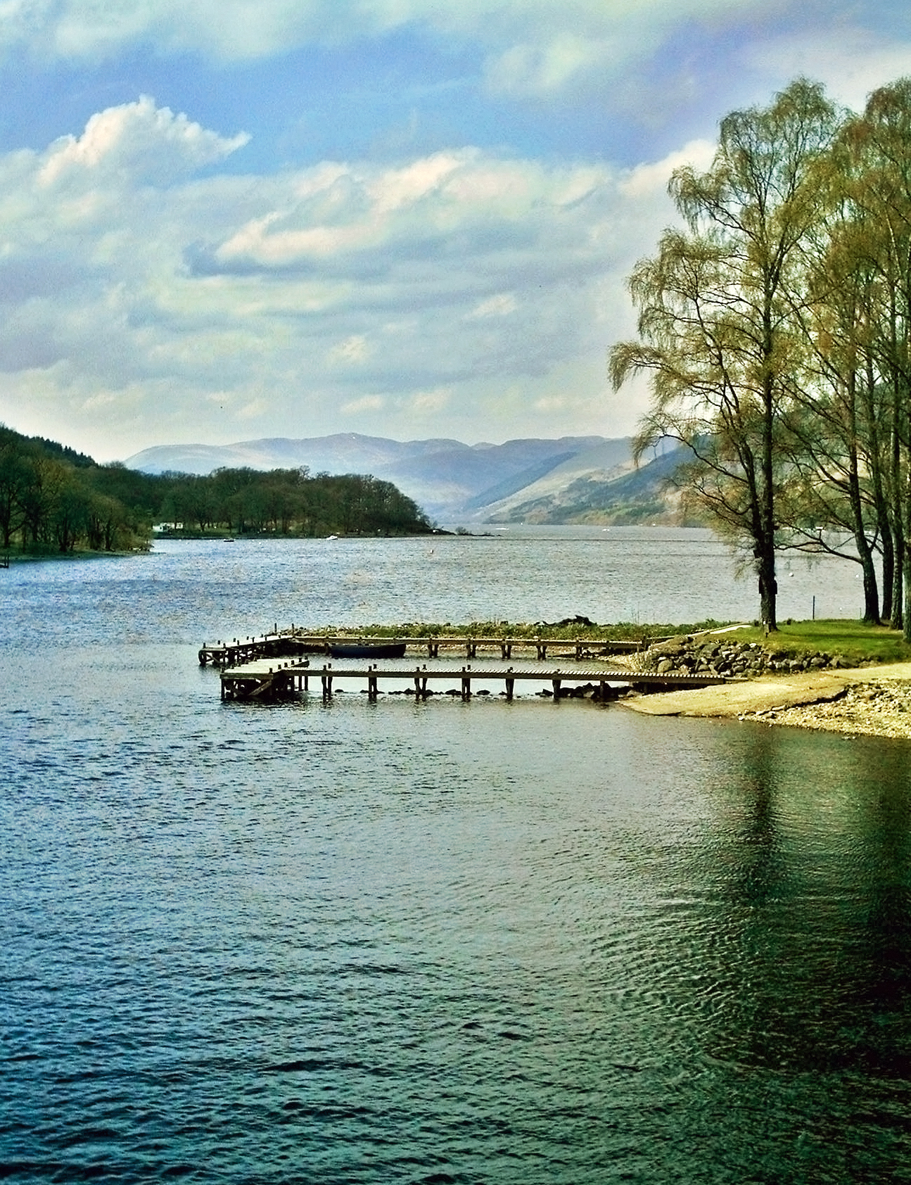
Loch Earn
Loch Earn (Scottish Gaelic, Loch Eire/Loch Éireann) is a freshwater loch in the southern highlands of Scotland, in the districts of Perth and Kinross and...

Ben Vorlich, Loch Earn
Ben Vorlich (Scottish Gaelic: Beinn Mhùrlaig) is a mountain in the Southern Highlands of Scotland. It lies south of Loch Earn and Ardvorlich, and a short...

Stùc a' Chroin
Stùc a' Chroin (Scottish Gaelic: Stùc a' Chrodhain, 'cloven hoof peak') (also translated as 'hill of the little sheepfold' or 'peak of danger') is a mountain...

Falls of Edinample
The falls of Edinample is a waterfall near the village of Craggan in the district of Stirling in Scotland. == See also == Waterfalls of Scotland ��2�...
Have you been to Black Craig?
Leave your review of Black Craig below (or comments, questions and feedback).