Knockwhirr

Hill, Mountain in Kirkcudbrightshire

Scotland

Knockwhirr

Upstream, Spout Burn and Larks Plantation
Upstream, Spout Burn and Larks Plantation Credit: Kirsty Smith

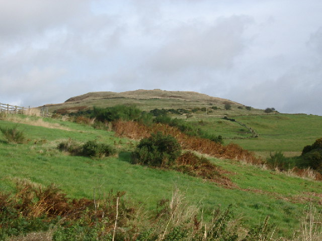
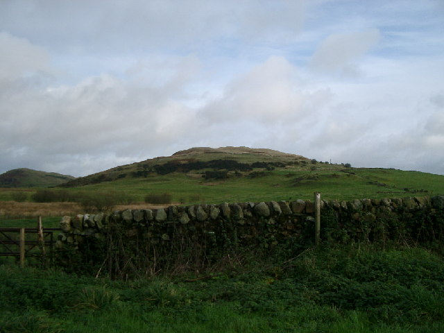
Knockwhirr is a prominent hill located in the historic county of Kirkcudbrightshire, Scotland. Situated in the southern part of the county, it forms part of the picturesque Galloway Hills range. The hill has an elevation of approximately 502 meters (1,647 feet), making it a significant landmark in the region.

Knockwhirr is renowned for its stunning natural beauty and captivating panoramic views from its summit. The hill is covered in lush green vegetation, with heather and grasses dominating the landscape. Its slopes are dotted with scattered rocks and boulders, adding to its rugged charm.

The ascent to the top of Knockwhirr is relatively challenging, with a steep and rocky path leading up to the summit. However, the effort is rewarded with breathtaking vistas of the surrounding countryside, including the rolling hills, sparkling lochs, and quaint villages. On clear days, it is even possible to catch a glimpse of the distant Solway Firth and the Lake District in England.

The hill is a haven for outdoor enthusiasts, offering a range of activities such as hiking, nature walks, and birdwatching. Its diverse flora and fauna make it an ideal habitat for numerous bird species, including golden eagles, peregrine falcons, and buzzards.

Knockwhirr is not only a natural gem but also holds historical significance. In the past, the hill served as a landmark for travelers, guiding them through the rugged terrain. Today, it continues to be a beloved destination for those seeking adventure, tranquility, and awe-inspiring vistas of the Scottish countryside.

If you have any feedback on the listing, please let us know in the comments section below.
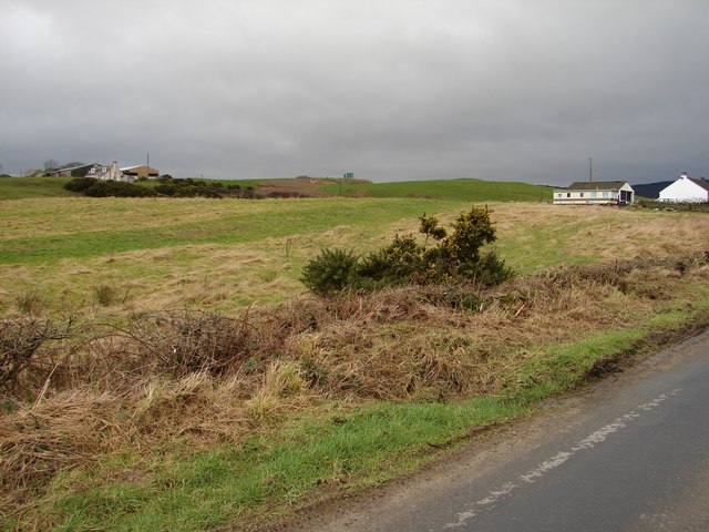
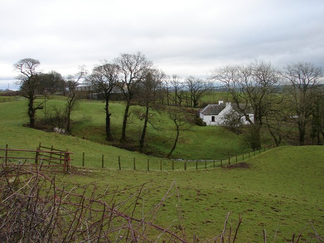
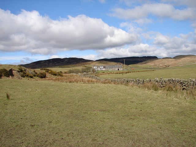
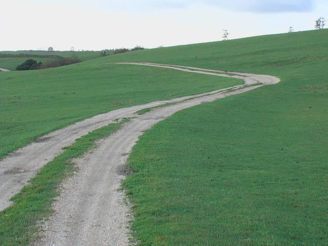
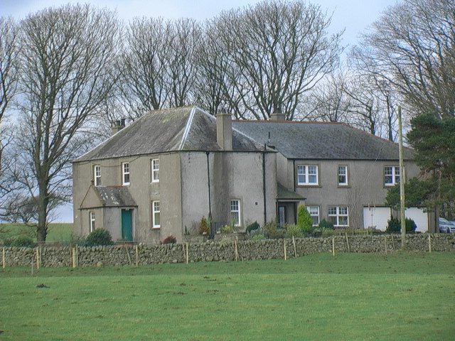
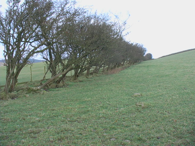
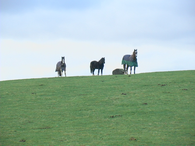
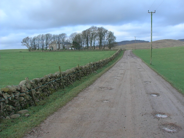
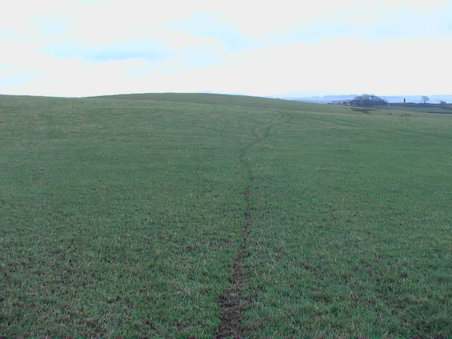
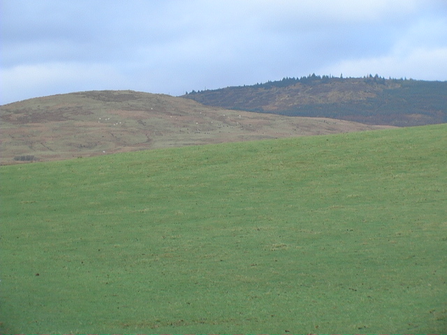
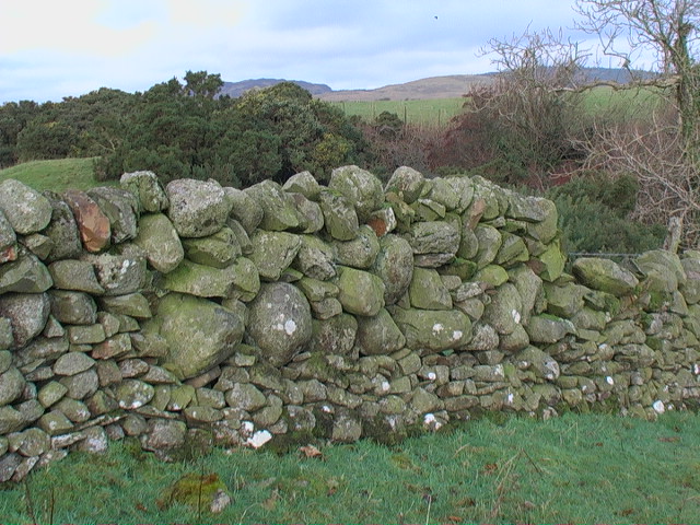
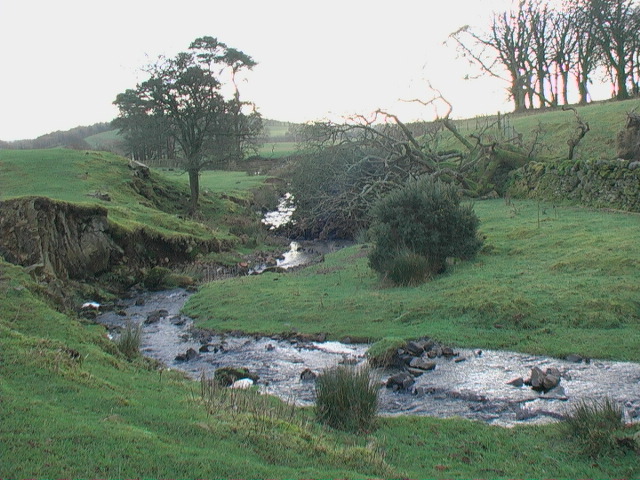
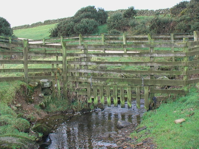
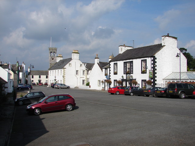
Knockwhirr Images

Images are sourced within 2km of 54.893291/-4.1078131 or Grid Reference NX6457. Thanks to Geograph Open Source API. All images are credited.

Upstream, Spout Burn and Larks Plantation
Mark house from road steadings on left
Mark house from road
steadings on left
Fuffock Burn, Glencap Forest Taken from the southernmost forest track in the Glencap Forest
Fuffock Burn, Glencap Forest
Taken from the southernmost forest track in the Glencap Forest
Looking towards Meikle Culcaigrie Hill Meikle Culcaigrie Hill from under the sheepfold near Trostrie. Sheepfold is on the left. Put this photo against the hill in the foreground.
Looking towards Meikle Culcaigrie Hill
Meikle Culcaigrie Hill from under the sheepfold near Trostrie. Sheepfold is on the left. Put this photo against the hill in the foreground.
Meikle Culcaigrie from Glencap Bridge Think that must be Pharoah's Throne at the left hand side.
Meikle Culcaigrie from Glencap Bridge
Think that must be Pharoah's Throne at the left hand side.
Muirhead, Twynholm View from the Twynholm-Glengap road of Muirhead farm and cottages. In between on the hill is Muirhead reservoir.
Muirhead, Twynholm
View from the Twynholm-Glengap road of Muirhead farm and cottages. In between on the hill is Muirhead reservoir.
Lochhill, Ringford View across Spout Burn to Lochhill Cottage and Lochhill Farm.
Lochhill, Ringford
View across Spout Burn to Lochhill Cottage and Lochhill Farm.
Cairn Farm, Gatehouse Remote farm situated at the end of the lane from Gatehouse of Fleet; situated on the Littleton Burn between Rig of Cairn and Irelandton Moor.
Cairn Farm, Gatehouse
Remote farm situated at the end of the lane from Gatehouse of Fleet; situated on the Littleton Burn between Rig of Cairn and Irelandton Moor.
Farm track to Auchengassel The surfacing material was broken shell giving a rustic look to the track.
Farm track to Auchengassel
The surfacing material was broken shell giving a rustic look to the track.
Irelandton farmhouse
Untrimmed mature hedgerow Not only does the thorn hedge appear never to have been trimmed - it would not keep in much stock in this condition - but it also shows the direction of the prevailing wind.
Untrimmed mature hedgerow
Not only does the thorn hedge appear never to have been trimmed - it would not keep in much stock in this condition - but it also shows the direction of the prevailing wind.
Horses grazing on open ground
Irelandton farm track Dramatic contrast between the open grazing land at this level and the rough rocky hillside in the background - may be similar geology, just a difference in altitude.
Irelandton farm track
Dramatic contrast between the open grazing land at this level and the rough rocky hillside in the background - may be similar geology, just a difference in altitude.
Open grazing land The animal tracks only serve to emphasise the big smooth expansiveness of this kind of land.
Open grazing land
The animal tracks only serve to emphasise the big smooth expansiveness of this kind of land.
Irelandton grazing land The smooth and the rough of grazing.
Irelandton grazing land
The smooth and the rough of grazing.
The no-messing approach to dyking. This is probably solid enough but it has a 'come close and be crushed' aura.
The no-messing approach to dyking.
This is probably solid enough but it has a 'come close and be crushed' aura.
Course of the Auchengassel Burn looking south
Watergate amidst other forms of enclosure
Show me another place!

Knockwhirr is located at Grid Ref: NX6457 (Lat: 54.893291, Lng: -4.1078131)

Unitary Authority: Dumfries and Galloway

Police Authority: Dumfries and Galloway

What 3 Words

///earlobes.topic.noble. Near Kirkcudbright, Dumfries & Galloway

Nearby Locations

Irelandton Moor Knockwhirr

Related Wikis

Twynholm

Twynholm () is a village in Scotland. It is located 2+1⁄4 miles (3.6 km) north-northwest of Kirkcudbright and 4+1⁄2 miles (7.2 km) east of Gatehouse of...

Tarff railway station

Tarff railway station served the village of Ringford, Dumfries and Galloway, Scotland from 1864 to 1965 on the Kirkcudbright Railway. == History == The...

Ringford

Ringford is a village in the historical county of Kirkcudbrightshire in Dumfries and Galloway located at grid reference NX689578 beside the Tarff Water...

Gatehouse of Fleet

Gatehouse of Fleet (Scots: Gatehoose o Fleet Scottish Gaelic: Taigh an Rathaid) is a town, half in the civil parish of Girthon, and half in the parish...

Have you been to Knockwhirr?

Leave your review of Knockwhirr below (or comments, questions and feedback).