Holbeache
Settlement in Worcestershire Wyre Forest
England
Holbeache
The requested URL returned error: 429 Too Many Requests
If you have any feedback on the listing, please let us know in the comments section below.
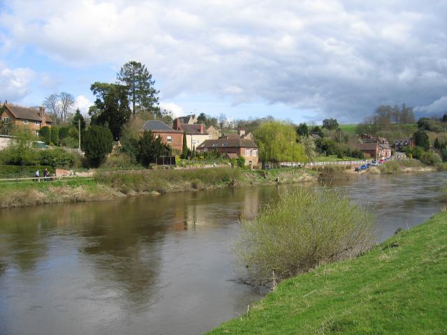
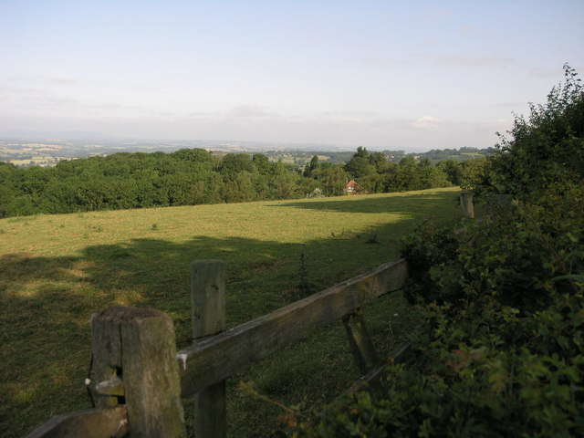
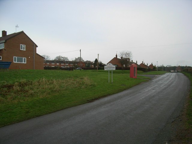
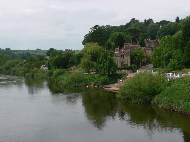
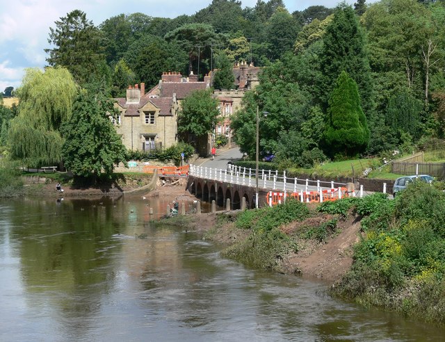
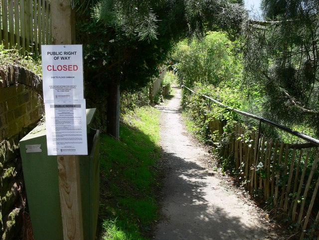
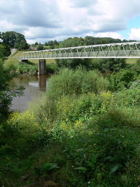
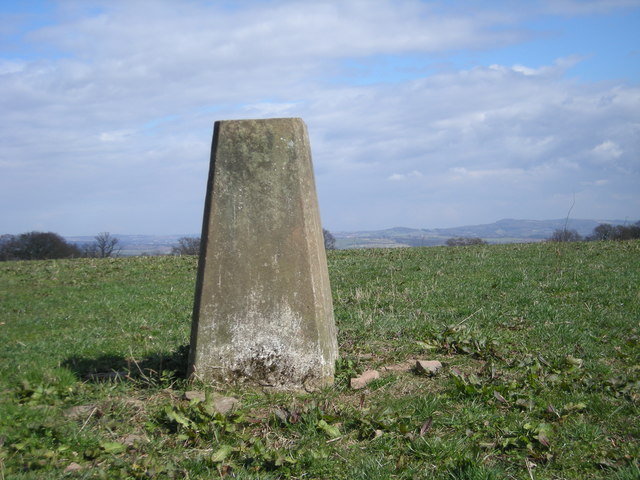
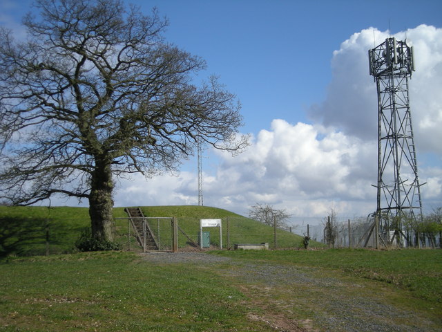
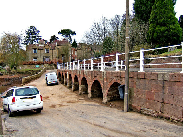
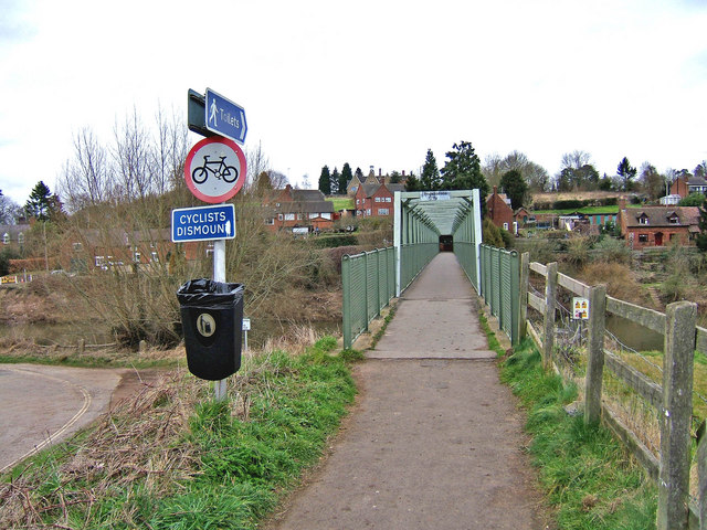
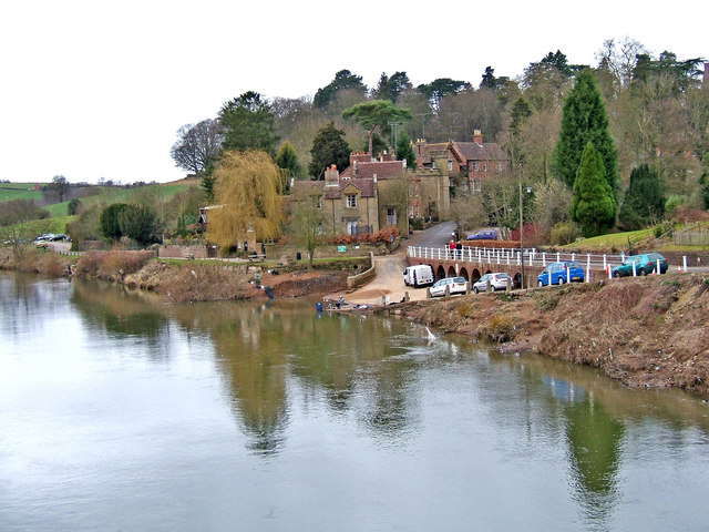
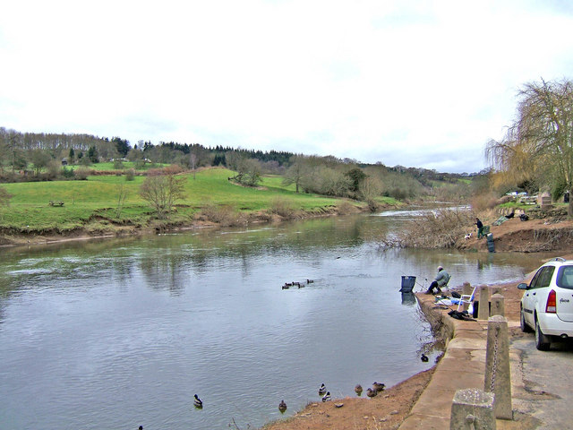
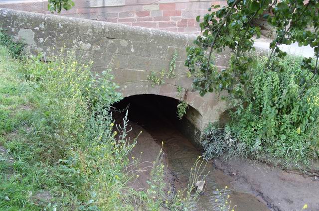
Holbeache Images
Images are sourced within 2km of 52.408557/-2.3248329 or Grid Reference SO7879. Thanks to Geograph Open Source API. All images are credited.


Holbeache is located at Grid Ref: SO7879 (Lat: 52.408557, Lng: -2.3248329)
Administrative County: Worcestershire
District: Wyre Forest
Police Authority: West Mercia
What 3 Words
///inflation.cotton.promotion. Near Bewdley, Worcestershire
Nearby Locations
Related Wikis

Shatterford Hill
Shatterford Hill is an English geographical feature that extends from Bewdley in north Worcestershire to Birdsgreen near Alveley, just over the border...

Victoria Bridge, Worcestershire
The Victoria Bridge crosses the River Severn between Arley and Bewdley in Worcestershire, England. At the time of its construction, the 200-foot railway...

Trimpley
Trimpley (grid reference SO793784) is a hamlet in the parish of Kidderminster Foreign. It lies on the ridge of Shatterford Hill, north of Wribbenhall...

Northwood Halt railway station
Northwood Halt is an unstaffed request stop on the Severn Valley Railway in Worcestershire, situated a little to the north of Bewdley on the outskirts...
Nearby Amenities
Located within 500m of 52.408557,-2.3248329Have you been to Holbeache?
Leave your review of Holbeache below (or comments, questions and feedback).