Bryn Cader Faner
Hill, Mountain in Merionethshire
Wales
Bryn Cader Faner
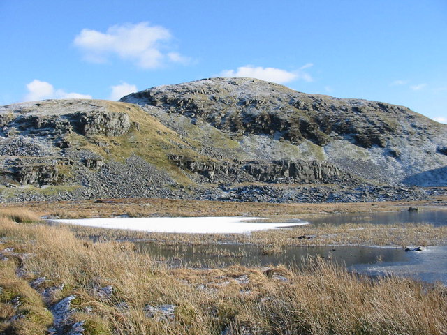
Bryn Cader Faner, located in Merionethshire, is a prominent hill or mountain that offers breathtaking views and holds significant historical and archaeological value. Situated in the Snowdonia National Park in Wales, it stands at an elevation of approximately 485 meters (1,591 feet).
This distinctive site is marked by a Bronze Age burial cairn, which dates back to around 2000-1500 BC. The cairn is surrounded by a circle of upright stones, known as a stone circle, which is a rare feature in this region. The circle originally consisted of around 30 stones, but only 15 remain standing today. The stones are small and flat, creating a low-lying and roughly circular shape around the cairn. The purpose and meaning of this ancient monument remain a topic of debate among archaeologists.
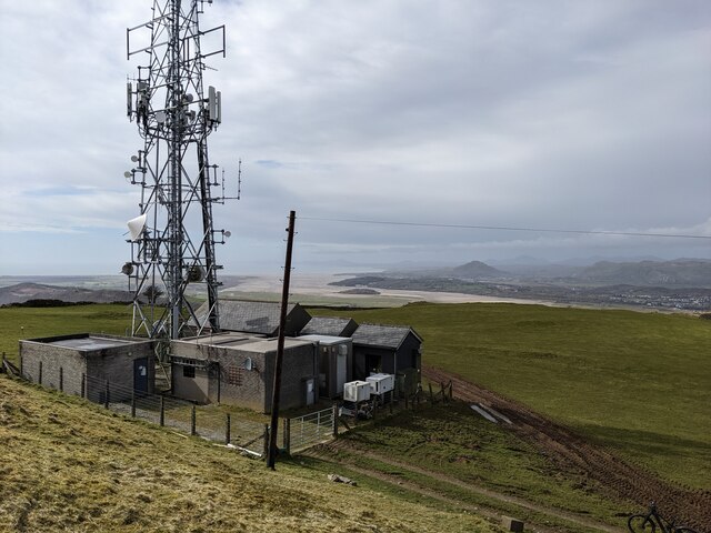
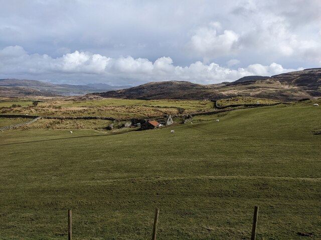
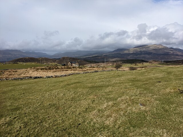
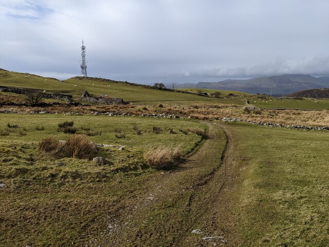
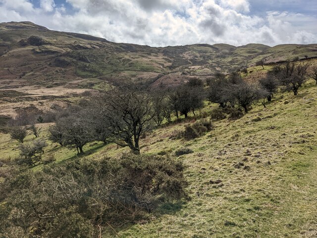
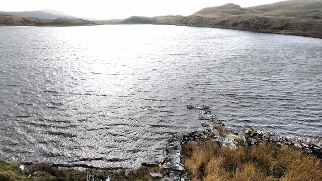
The location of Bryn Cader Faner enhances its allure. Nestled within the stunning landscape of Snowdonia, the hill offers panoramic views of the surrounding mountains, valleys, and lakes. On a clear day, visitors can catch glimpses of the Snowdon range, Cardigan Bay, and even the Irish Sea.
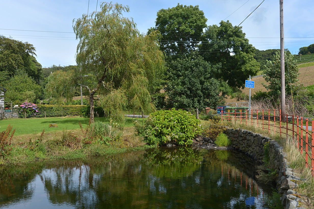
The area surrounding Bryn Cader Faner is a haven for outdoor enthusiasts. Hiking trails and footpaths provide access to the mountain, allowing visitors to explore the region's natural beauty. The peacefulness and tranquility of the area make it an ideal spot for picnics, photography, and simply appreciating the wonders of nature.
If you have any feedback on the listing, please let us know in the comments section below.
Bryn Cader Faner Images
Images are sourced within 2km of 52.898268/-4.0108778 or Grid Reference SH6435. Thanks to Geograph Open Source API. All images are credited.


Bryn Cader Faner is located at Grid Ref: SH6435 (Lat: 52.898268, Lng: -4.0108778)
Unitary Authority: Gwynedd
Police Authority: North Wales
What 3 Words
///lunge.refer.amended. Near Penrhyndeudraeth, Gwynedd
Nearby Locations
Related Wikis

Bryn Cader Faner
Bryn Cader Faner is a Bronze Age round cairn which lies to the east of the small hamlet of Talsarnau in the Ardudwy area of Gwynedd in Wales. The diameter...
Moel Ysgyfarnogod
Moel Ysgyfarnogod ('Bare hill of the hares' in Welsh) is a mountain in Snowdonia, North Wales and is the northernmost of the Rhinogydd. Rhinog Fawr lies...

Foel Penolau
Foel Penolau is a mountain close to Moel Ysgyfarnogod in Snowdonia, North Wales and is the northernmost summit of the Rhinogydd, and overlooks Llyn Trawsfynydd...

Llandecwyn
Llandecwyn () is a hamlet near Penrhyndeudraeth in Gwynedd, Wales. The bulk of the population (between 40 and 50 houses) is now located around Cilfor close...

Soar, Gwynedd
Soar is a small village or hamlet in Gwynedd, Wales. It is located about 4 miles (6.4 km) northeast of Harlech, close to Talsarnau and Llandecwyn. It has...
Eisingrug
Eisingrug (meaning: a place where corn was winnowed after husking) is a rural hamlet near Harlech, Gwynedd, Wales. It is located to the southeast of Porthmadog...

Coed y Rhygen National Nature Reserve
Coed y Rhygen National Nature Reserve is located on the western shore of Llyn Trawsfynydd in Gwynedd, North Wales. As an example of Atlantic Rainforest...

Talsarnau
Talsarnau is a village and community in the Ardudwy area of Gwynedd in Wales. Its population was 525 in 2001, and had increased to 550 at the 2011 Census...
Nearby Amenities
Located within 500m of 52.898268,-4.0108778Have you been to Bryn Cader Faner?
Leave your review of Bryn Cader Faner below (or comments, questions and feedback).