Bere Hill

Hill, Mountain in Kirkcudbrightshire

Scotland

Bere Hill

A frosty morning on Loch Ken An early morning shot of the shady side of Loch Ken, viewed in very cold December weather.
A frosty morning on Loch Ken Credit: Mary and Angus Hogg

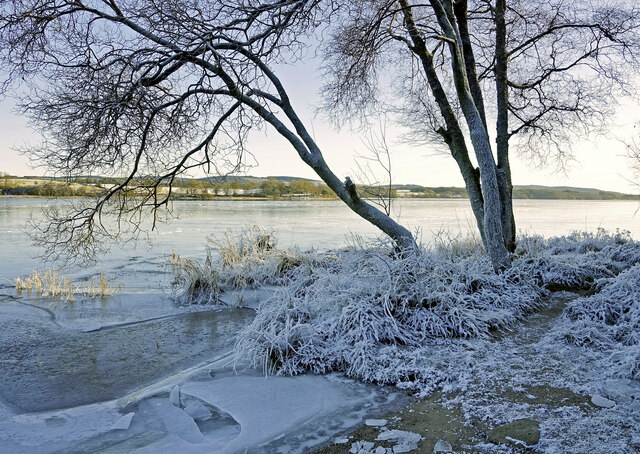
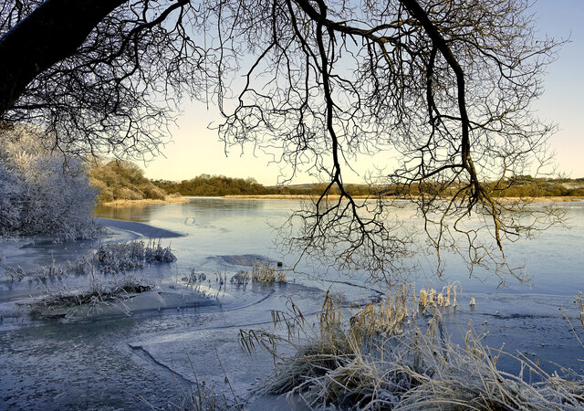
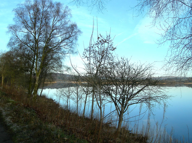
Bere Hill is a prominent hill located in Kirkcudbrightshire, Scotland. It is situated in the beautiful Galloway region, known for its picturesque landscapes and natural beauty. Rising to an elevation of approximately 271 meters (889 feet), Bere Hill offers breathtaking panoramic views of the surrounding countryside.

The hill is characterized by its distinct conical shape, making it a recognizable landmark in the area. It is primarily composed of granite, which gives it a rugged and enduring appearance. The hill is covered in lush green vegetation, with patches of heather and bracken adding to its natural charm.

Bere Hill is a popular destination for hikers and nature enthusiasts. A well-maintained footpath leads to its summit, allowing visitors to enjoy a relatively easy ascent. The trail offers glimpses of diverse wildlife, including birds, rabbits, and occasionally deer.

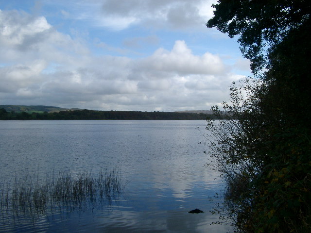
Once at the top, visitors are rewarded with stunning vistas that stretch across the surrounding countryside, including the nearby Solway Firth and the rolling hills of Galloway Forest Park. On a clear day, it is even possible to catch sight of the distant Lake District in England.

The hill's location provides a sense of tranquility and escape from the hustle and bustle of everyday life. It offers a peaceful setting for those seeking solitude, as well as a beautiful backdrop for photography enthusiasts.

Overall, Bere Hill is a captivating natural landmark that showcases the unique beauty of Kirkcudbrightshire, attracting both locals and tourists alike.

If you have any feedback on the listing, please let us know in the comments section below.
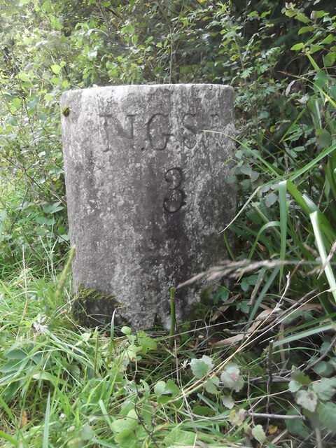
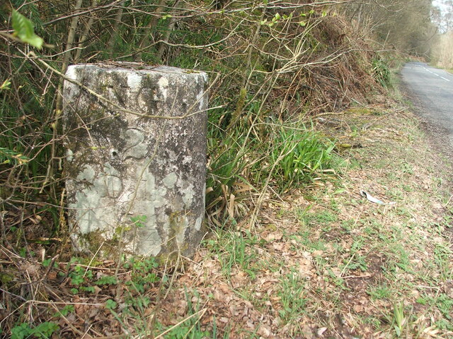
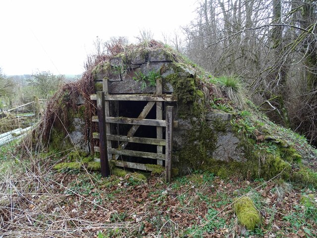
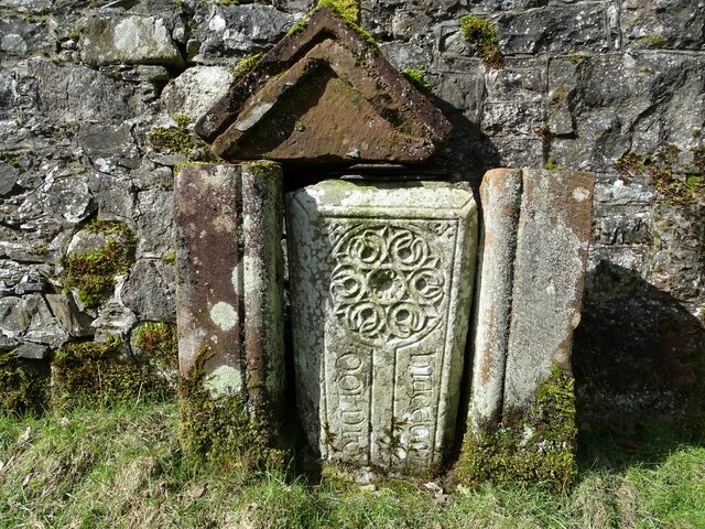
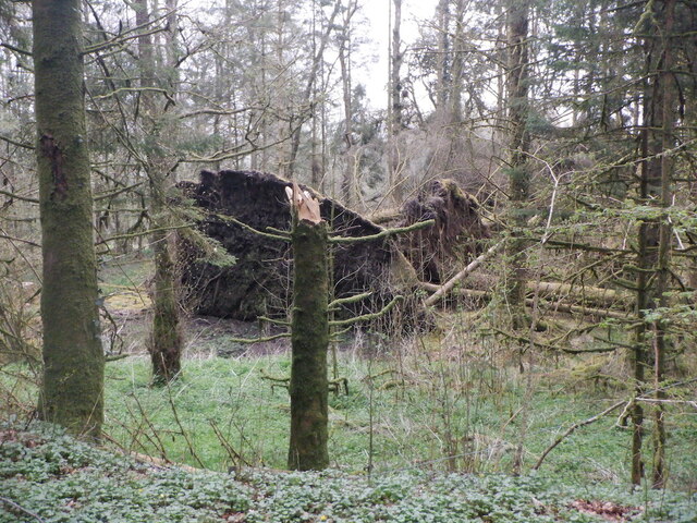
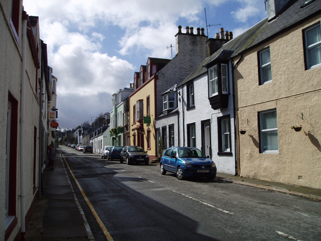
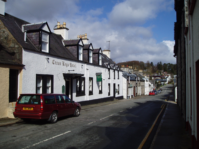
Bere Hill Images

Images are sourced within 2km of 55.05789/-4.1245364 or Grid Reference NX6475. Thanks to Geograph Open Source API. All images are credited.

A frosty morning on Loch Ken An early morning shot of the shady side of Loch Ken, viewed in very cold December weather.
A frosty morning on Loch Ken
An early morning shot of the shady side of Loch Ken, viewed in very cold December weather.
Little Kenmure Loch The northern end of Loch Ken viewed on a chilly December morning.
Little Kenmure Loch
The northern end of Loch Ken viewed on a chilly December morning.
Old milestone The next 'railway' milestone south of New Galloway is at the entrance to Todstone Cottage.  N G/ 1/ Dalry/4¼ on the left face.
Old milestone
The next 'railway' milestone south of New Galloway is at the entrance to Todstone Cottage. N G/ 1/ Dalry/4¼ on the left face.
Old milestone The right hand face is in the shade on this sunny day but beneath the lichens the inscription is N.G.St.n/4.  The property was surrounded by this high fencing and several dogs were barking.
Old milestone
The right hand face is in the shade on this sunny day but beneath the lichens the inscription is N.G.St.n/4. The property was surrounded by this high fencing and several dogs were barking.
Old milestone 2 miles south from New Galloway and overlooking Loch Ken, this stone is at the northern end of a small rough lay-by on the west side of the road.
Old milestone
2 miles south from New Galloway and overlooking Loch Ken, this stone is at the northern end of a small rough lay-by on the west side of the road.
Old milestone Looking northwards the narrow A762 leads to New Galloway then onto the A713 to St John's Town of Dalry 4¼ miles away.
Old milestone
Looking northwards the narrow A762 leads to New Galloway then onto the A713 to St John's Town of Dalry 4¼ miles away.
Kenmure Castle An old ice-house by Kenmure Castle.
Kenmure Castle
An old ice-house by Kenmure Castle.
Kenmure Castle Part of an incised cross-slab set against the wall of the walled garden at Kenmure Castle.
Kenmure Castle
Part of an incised cross-slab set against the wall of the walled garden at Kenmure Castle.
Windthrow near New Galloway By Sentry Knowe.
Windthrow near New Galloway
By Sentry Knowe.
Loch Ken, looking southwards taken from the west bank
Loch Ken, looking southwards
taken from the west bank
New Galloway View south up the main street showing the rendered fronts of the buildings of this lovely Galloway village.
New Galloway
View south up the main street showing the rendered fronts of the buildings of this lovely Galloway village.
The Cross Keys Hotel, New Galloway View North down the Main Street of this picturesque Galloway village showing the Cross Keys Hotel which dates from the 18th Century
The Cross Keys Hotel, New Galloway
View North down the Main Street of this picturesque Galloway village showing the Cross Keys Hotel which dates from the 18th Century
Loch Ken Looking northwards on a flat calm January morning.
Loch Ken
Looking northwards on a flat calm January morning.
Ironmacannie The old watermill was renovated by some old friends in the 1990s. Although I think it is now holiday cottages, all of the original gearing is preserved and displayed inside
Ironmacannie
The old watermill was renovated by some old friends in the 1990s. Although I think it is now holiday cottages, all of the original gearing is preserved and displayed inside
Town Hall, New Galloway The plaque above the doorway shows a shield supported by, on the left, a black man, and on the right, a cow. I don't know the history of this. The cow is now painted as a belted galloway, but I don't know whether this was always the case.
Town Hall, New Galloway
The plaque above the doorway shows a shield supported by, on the left, a black man, and on the right, a cow. I don't know the history of this. The cow is now painted as a belted galloway, but I don't know whether this was always the case.
Milestone by the A713 Marked D with a 3 below for the three miles to St John's Town of Dalry.
Milestone by the A713
Marked D with a 3 below for the three miles to St John's Town of Dalry.
Cubbox Farm
Cubbox Farm
Highpark Farm The town of New Galloway is in the background.
Highpark Farm
The town of New Galloway is in the background.
Show me another place!

Bere Hill is located at Grid Ref: NX6475 (Lat: 55.05789, Lng: -4.1245364)

Unitary Authority: Dumfries and Galloway

Police Authority: Dumfries and Galloway

What 3 Words

///moisture.martini.essay. Near Castle Douglas, Dumfries & Galloway

Related Wikis

Galloway

Galloway (Scottish Gaelic: Gall-Ghàidhealaibh [ˈkal̪ˠaɣəl̪ˠu]; Scots: Gallowa; Latin: Gallovidia) is a region in southwestern Scotland comprising the historic...

Kenmure Castle

Kenmure Castle is a fortified house or castle in The Glenkens, 1 mile (1.6 km) south of the town of New Galloway in Kirkcudbrightshire, Galloway, south...

Water of Ken

The Water of Ken is a river in the historical county of Kirkcudbrightshire in Galloway, south-west Scotland. It rises on Blacklorg Hill, north-east of...

New Galloway

New Galloway (Scottish Gaelic: Gall-Ghàidhealaibh Nuadh) is a town in the historical county of Kirkcudbrightshire in Dumfries and Galloway. It lies on...

New Galloway Town Hall

The New Galloway Town Hall is a municipal building in Dumfries and Galloway, Scotland, situated on the town's high street. A tolbooth has existed on the...
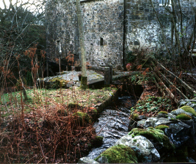
Ironmacannie Mill

Ironmacannie Mill is a historic watermill near Balmaclellan in Dumfries and Galloway, Scotland. Built in the 18th and 19th centuries, on the site of an...

Ken Bridge

The Ken Bridge is a road bridge about 0.8 kilometres (0.5 mi) north east of New Galloway in Dumfries and Galloway, Scotland, which carries the A712 road...

Kells, Dumfries and Galloway

Kells parish, in the Stewartry of Kirkcudbright in Scotland, is located 14 miles (NWbN) from Castle-Douglas, and 19 miles (NbW) from Kirkcudbright. It...

Nearby Amenities

Located within 500m of 55.05789,-4.1245364
Craigend
Naptan AtcoCode: 680001021222
Naptan Bearing: N
Naptan BusStopType: CUS
Naptan CommonName: Craigend
Naptan Indicator: Road End
Naptan Landmark: Craigend
Naptan NaptanCode: 34235893
Naptan Notes: none
Naptan Street: A762
Naptan Verified: no
Source: naptan_import
Lat/Long: 55.0603/-4.1203227
Craigend
Naptan AtcoCode: 680001021501
Naptan Bearing: S
Naptan BusStopType: CUS
Naptan CommonName: Craigend
Naptan Indicator: opp Road End
Naptan Landmark: Craigend
Naptan NaptanCode: 34235894
Naptan Notes: none
Naptan Street: A762
Naptan Verified: no
Source: naptan_import
Lat/Long: 55.0602262/-4.1204285
Power: pole
Lat/Long: 55.0593862/-4.1181346
Power: pole
Lat/Long: 55.0589907/-4.1189695
Power: pole
Lat/Long: 55.0585271/-4.1211768
Power: pole
Lat/Long: 55.0582996/-4.1222731
Power: pole
Lat/Long: 55.0580319/-4.1234819
The data included in this document is from www.openstreetmap.org. The data is made available under ODbL.

Have you been to Bere Hill?

Leave your review of Bere Hill below (or comments, questions and feedback).