Bryn Cysegrfa

Hill, Mountain in Cardiganshire

Wales

Bryn Cysegrfa

Ordnance Survey Cut Mark This OS cut mark can be found on the churn stand NW side of the road. It marks a point 146.120m above mean sea level. <a title="https://www.geograph.org.uk/photo/7454903" href="https://www.geograph.org.uk/photo/7454903">Link</a>
Ordnance Survey Cut Mark Credit: Adrian Dust

The requested URL returned error: 429 Too Many Requests

If you have any feedback on the listing, please let us know in the comments section below.

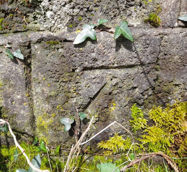
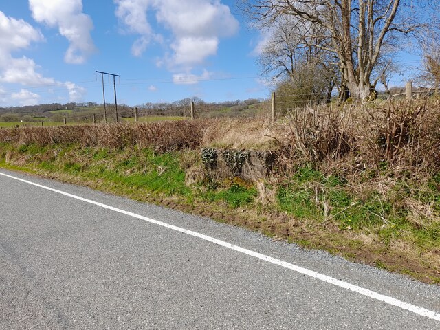
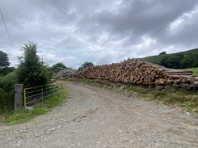
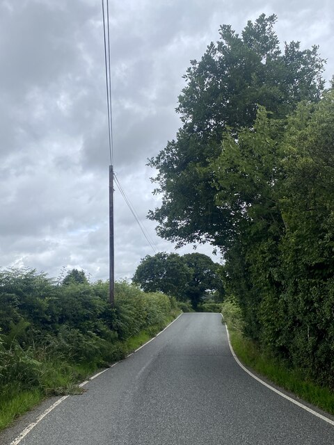
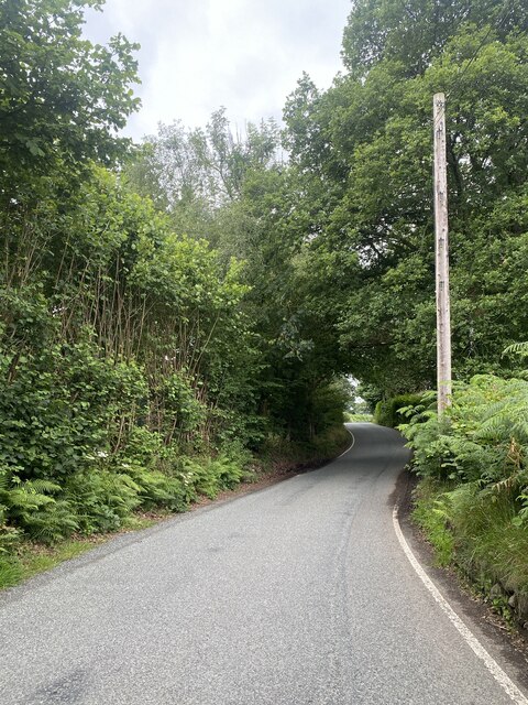
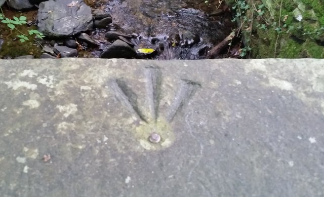
Bryn Cysegrfa Images

Images are sourced within 2km of 52.150411/-3.9840417 or Grid Reference SN6452. Thanks to Geograph Open Source API. All images are credited.

Ordnance Survey Cut Mark This OS cut mark can be found on the churn stand NW side of the road. It marks a point 146.120m above mean sea level. <a title="https://www.geograph.org.uk/photo/7454903" href="https://www.geograph.org.uk/photo/7454903">Link</a>
Ordnance Survey Cut Mark
This OS cut mark can be found on the churn stand NW side of the road. It marks a point 146.120m above mean sea level. Link
Churn Stand There is an Ordnance Survey cut mark on the front of the stand. <a title="https://www.geograph.org.uk/photo/7454901" href="https://www.geograph.org.uk/photo/7454901">Link</a>
Churn Stand
There is an Ordnance Survey cut mark on the front of the stand. Link
Track to Greenhill Farm
Wood storage at Twyn Llwyd
Barred gateway at Penddol
B4343 near Llanfair Clygodau
B4343 towards Llanddewi Brefi
Ordnance Survey Rivet This OS rivet can be found on the east parapet of the bridge. It marks a point 152.950m above mean sea level.
Ordnance Survey Rivet
This OS rivet can be found on the east parapet of the bridge. It marks a point 152.950m above mean sea level.
Fields and forest near Llanfair Clydogau, Ceredigion A telephoto assisted image, looking north-west from near Llyn y Gwaith towards the Teifi Valley.

Taken from the same location as <a href="https://www.geograph.org.uk/photo/5527200">SN6751 : Coniferous forest east of Llanfair Clydogau in Ceredigion</a>
Fields and forest near Llanfair Clydogau, Ceredigion
A telephoto assisted image, looking north-west from near Llyn y Gwaith towards the Teifi Valley. Taken from the same location as SN6751 : Coniferous forest east of Llanfair Clydogau in Ceredigion
Road (B4343) approaching Gorwydd Looking south-westward.
Road (B4343) approaching Gorwydd
Looking south-westward.
Road (B4343) near Penddol Looking north-eastward.
Road (B4343) near Penddol
Looking north-eastward.
Road (B4343) entering Llanfair Clydogau Looking south-westward.
Road (B4343) entering Llanfair Clydogau
Looking south-westward.
Pasture east of  Llanfair Clydogau in Ceredigion Looking north near Pont Glanrhyd. Sheep were grazing in nearby fields.
Pasture east of Llanfair Clydogau in Ceredigion
Looking north near Pont Glanrhyd. Sheep were grazing in nearby fields.
Pasture east of  Llanfair Clydogau in Ceredigion Looking north near Pont Glanrhyd. Sheep were grazing in nearby fields.
Pasture east of Llanfair Clydogau in Ceredigion
Looking north near Pont Glanrhyd. Sheep were grazing in nearby fields.
Pont Glan-rhyd east of Llanfair Clydogau in Ceredigion Pont Glan-rhyd crosses Nant Clywedog-uchaf.
Pont Glan-rhyd east of Llanfair Clydogau in Ceredigion
Pont Glan-rhyd crosses Nant Clywedog-uchaf.
Telephone kiosk at Pont Glan-rhyd in Ceredigion East of Llanfair Clydogau, this telephone box no longer contains any phone equipment. The bridge beyond it crosses Nant Clywedog-uchaf.
Telephone kiosk at Pont Glan-rhyd in Ceredigion
East of Llanfair Clydogau, this telephone box no longer contains any phone equipment. The bridge beyond it crosses Nant Clywedog-uchaf.
Farm track east of Llanfair Clydogau in Ceredgion The track leads from the lane to the farm building at Blaenplwyf.
Farm track east of Llanfair Clydogau in Ceredgion
The track leads from the lane to the farm building at Blaenplwyf.
Farm track east of Llanfair Clydogau in Ceredgion The track leads from the lane to the farm building at Blaenplwyf.
Farm track east of Llanfair Clydogau in Ceredgion
The track leads from the lane to the farm building at Blaenplwyf.
Show me another place!

Bryn Cysegrfa is located at Grid Ref: SN6452 (Lat: 52.150411, Lng: -3.9840417)

Unitary Authority: Ceredigion

Police Authority: Dyfed Powys

What 3 Words

///creatures.spoils.performed. Near Llangybi, Ceredigion

Nearby Locations

Bryn Cysegrfa

Related Wikis

Gogoyan

Gogoyan is a hamlet in the community of Llanddewibrefi, Ceredigion, Wales, which is 58.9 miles (94.8 km) from Cardiff and 171.1 miles (275.3 km) from...

Llanfair Clydogau

Llanfair Clydogau is a small village and community encompassing 3,232 hectares (7,990 acres), located about 4 miles (6.4 km) north-east of Lampeter on...

Olmarch Halt railway station

Olmarch Halt railway station, previously served the hamlet and rural locale of Olmarch near Llanddewi-Brefi and Pont Llanio on the Carmarthen Aberystwyth...

Llangybi railway station (Ceredigion)

Llangybi railway station, previously served the village and rural locale of Llangybi on the Carmarthen Aberystwyth Line in the Welsh county of Ceredigion...

Have you been to Bryn Cysegrfa?

Leave your review of Bryn Cysegrfa below (or comments, questions and feedback).