Gallow Hill

Hill, Mountain in Stirlingshire

Scotland

Gallow Hill

Small hill behind Upper Carleston 110m spot height behind the farm.
Small hill behind Upper Carleston Credit: Stephen Sweeney

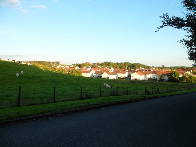
Gallow Hill, located in Stirlingshire, Scotland, is a prominent hill that rises approximately 228 meters (748 feet) above sea level. It is situated near the town of Stirling and is a popular destination for locals and tourists alike due to its historical significance and breathtaking views.

The hill derived its name from being historically used as a place for public hangings during the 16th and 17th centuries. It served as a grim reminder of the consequences of committing crimes during that time. Despite its dark history, Gallow Hill now stands as a symbol of the area's past and has become a significant landmark in Stirlingshire.

From the summit of Gallow Hill, visitors can enjoy panoramic views of the surrounding landscape, including the magnificent Stirling Castle, the River Forth, and the nearby Ochil Hills. On a clear day, it is even possible to catch glimpses of the distant Trossachs National Park.

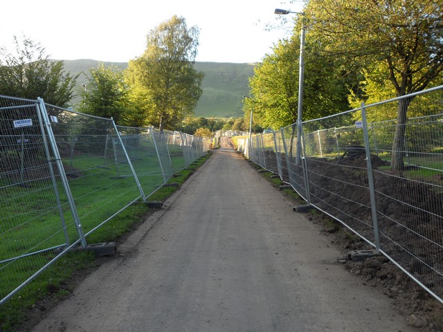
The hill is easily accessible, with several walking trails leading to the top. These paths are well-maintained and suitable for all levels of fitness. Along the way, hikers may encounter a variety of flora and fauna, including heather, wildflowers, and various bird species.

Gallow Hill offers a unique blend of historical significance and natural beauty, making it an ideal destination for those seeking a memorable outdoor experience in Stirlingshire.

If you have any feedback on the listing, please let us know in the comments section below.
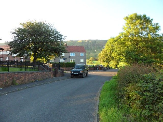
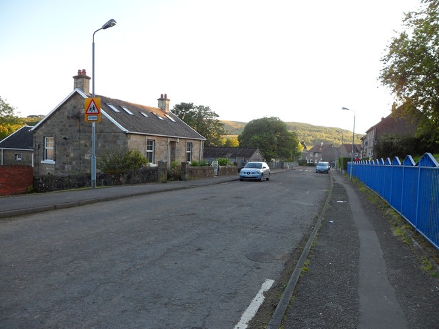
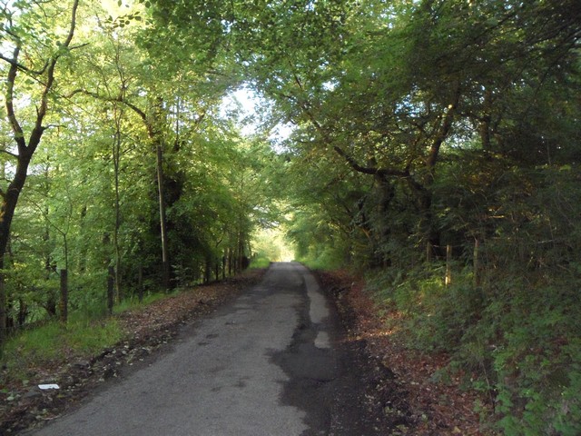
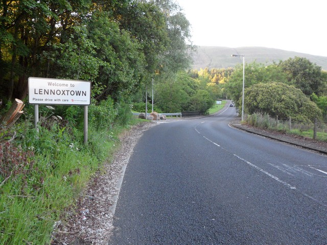
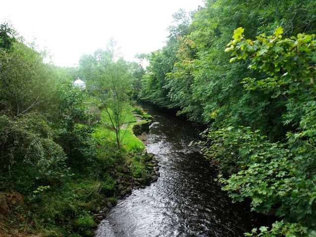
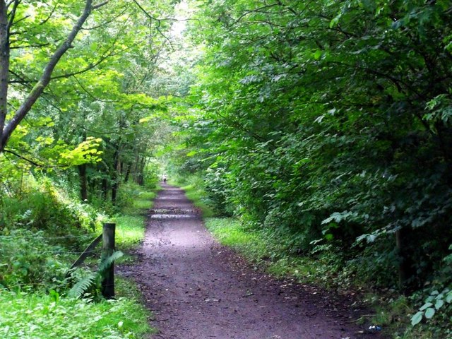
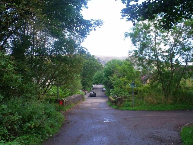
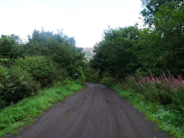
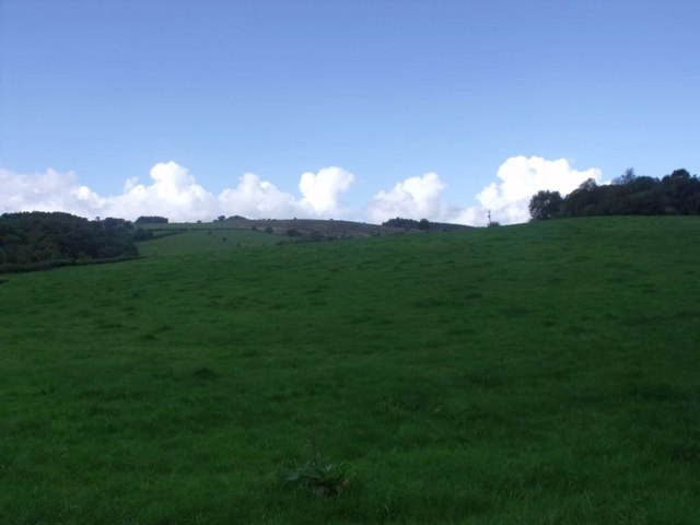
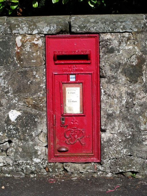
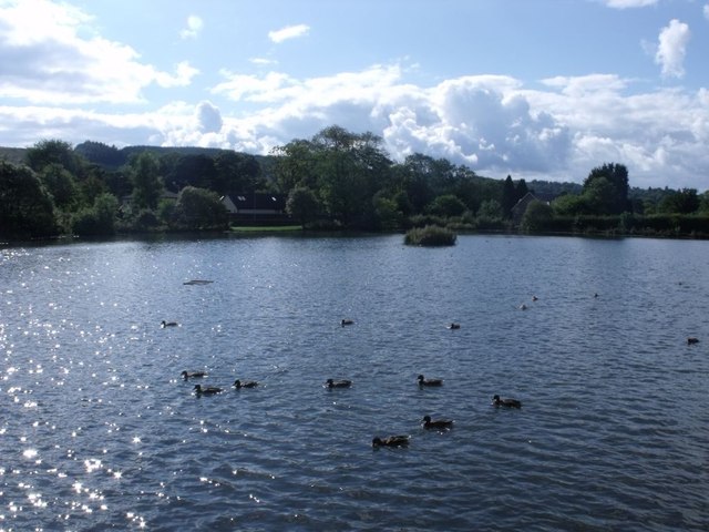
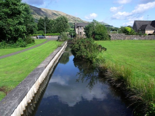
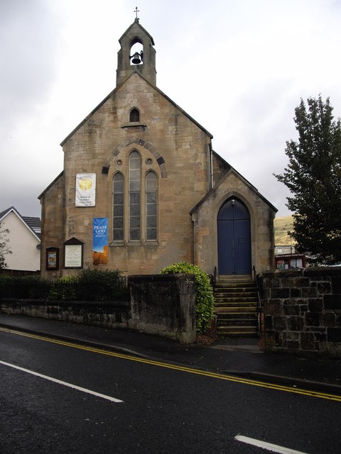
Gallow Hill Images

Images are sourced within 2km of 55.96504/-4.1819569 or Grid Reference NS6376. Thanks to Geograph Open Source API. All images are credited.

Small hill behind Upper Carleston 110m spot height behind the farm.
Small hill behind Upper Carleston
110m spot height behind the farm.
Rolling hills in East Dunbartonshire Opposite Redmoss Farm Road.
Rolling hills in East Dunbartonshire
Opposite Redmoss Farm Road.
North edge of Lennoxtown Seen from North Birbiston Road.
North edge of Lennoxtown
Seen from North Birbiston Road.
Bencloich Crescent, Lennoxtown Stunningly set beneath the Campsie Fells.
Bencloich Crescent, Lennoxtown
Stunningly set beneath the Campsie Fells.
Public path behind Lennoxtown A lot of work going on around here - I think it may be a new housing development.
Public path behind Lennoxtown
A lot of work going on around here - I think it may be a new housing development.
North Birbiston Road, Lennoxtown
Road to Lennoxtown Just east of Muirhead Farm.
Road to Lennoxtown
Just east of Muirhead Farm.
Approaching Lennoxtown on the B822 From the south.
Approaching Lennoxtown on the B822
From the south.
Lennoxtown, Glazert Water
Lennoxtown, path to Milton of Campsie Follows the old track of the LNER railway which connected Kirkintilloch with the near north.
Lennoxtown, path to Milton of Campsie
Follows the old track of the LNER railway which connected Kirkintilloch with the near north.
Lennoxtown, road, paths and bridge The path from Strathblane to Kirkintilloch crosses the scene and the bridge over the Glazert leads into the town via Chestnut Walk seen in the distance.
Lennoxtown, road, paths and bridge
The path from Strathblane to Kirkintilloch crosses the scene and the bridge over the Glazert leads into the town via Chestnut Walk seen in the distance.
Lennoxtown, road from Finniescroft Wood
Lennoxtown, South Brae View towards the South Brae area.
Lennoxtown, South Brae
View towards the South Brae area.
Lennoxtown, Crosshill Street A George VI letter box for the Geograph collection of such things.
Lennoxtown, Crosshill Street
A George VI letter box for the Geograph collection of such things.
Lennoxtown, Whitefield Dam Dug out and formed in the early nineteenth century to store water for the Lennox Mill Printworks. 
The pond is fed from a series of drains coming off the Campsies which eventually are channelled into a small canal which enters the pond from the north. The overflow leaves by a weir situated at the north east corner.
Lennoxtown, Whitefield Dam
Dug out and formed in the early nineteenth century to store water for the Lennox Mill Printworks. The pond is fed from a series of drains coming off the Campsies which eventually are channelled into a small canal which enters the pond from the north. The overflow leaves by a weir situated at the north east corner.
Lennoxtown, Whitefield Dam The inflow canal that supplies the levels for the pond. See also <a href="https://www.geograph.org.uk/photo/2592172">NS6278 : Lennoxtown, Whitefield Dam</a>
Lennoxtown, Whitefield Dam
The inflow canal that supplies the levels for the pond. See also NS6278 : Lennoxtown, Whitefield Dam
Lennoxtown, Whitefield Park View to the escarpment of the Campsies that dominates Lennoxtown.
Lennoxtown, Whitefield Park
View to the escarpment of the Campsies that dominates Lennoxtown.
Parish church, Milton of Campsie This building has since been closed, as a new church has been built.
Parish church, Milton of Campsie
This building has since been closed, as a new church has been built.
Show me another place!

Gallow Hill is located at Grid Ref: NS6376 (Lat: 55.96504, Lng: -4.1819569)

Unitary Authority: East Dunbartonshire

Police Authority: Greater Glasgow

What 3 Words

///quilting.sadly.invest. Near Milton of Campsie, East Dunbartonshire

Nearby Locations

Gallow Hill

Related Wikis

Glazert Water

The Glazert Water is a tributary of the River Kelvin in East Dunbartonshire, Scotland. It is formed 1 kilometre (5⁄8 mi) south of Clachan of Campsie (55...

Glorat House

Glorat House is a 19th-century mansion house in East Dunbartonshire, Scotland. It is located in Milton of Campsie, in the former county of Stirlingshire...

Glorat

Glorat is a place and estate in the parish of Campsie in East Dunbartonshire, Scotland. == History == A towerhouse was built at Glorat in the 16th century...

Milton of Campsie

Milton of Campsie is a village formerly in the county of Stirlingshire, but now in East Dunbartonshire, Scotland roughly 10 miles (16 km) north of Glasgow...

Nearby Amenities

Located within 500m of 55.96504,-4.1819569
Gallow Hill
Ele: 56
Natural: peak
Lat/Long: 55.9648559/-4.1818206
Ford: yes
Lat/Long: 55.9638045/-4.1828949
Power: pole
Lat/Long: 55.9647341/-4.1885052
Power: pole
Lat/Long: 55.9645805/-4.1867535
Power: pole
Lat/Long: 55.964421/-4.1850185
Power: pole
Lat/Long: 55.9642627/-4.1832876
Power: pole
Lat/Long: 55.9641325/-4.1818439
Power: pole
Lat/Long: 55.9640199/-4.1800691
Power: pole
Lat/Long: 55.9639061/-4.178353
Power: pole
Lat/Long: 55.9639054/-4.1783404
Power: pole
Lat/Long: 55.9638006/-4.1766159
Power: pole
Lat/Long: 55.9636897/-4.1748337
Power: pole
Lat/Long: 55.9647224/-4.1786798
Power: pole
Lat/Long: 55.9656466/-4.1790361
Power: pole
Lat/Long: 55.9661004/-4.1792372
Power: pole
Lat/Long: 55.9667056/-4.1803122
Power: pole
Lat/Long: 55.9673993/-4.1808475
Power: pole
Lat/Long: 55.9683351/-4.1811451
Power: pole
Lat/Long: 55.9692721/-4.1814133
Power: pole
Lat/Long: 55.9690868/-4.1800366
Power: pole
Lat/Long: 55.9689249/-4.1788464
The data included in this document is from www.openstreetmap.org. The data is made available under ODbL.

Have you been to Gallow Hill?

Leave your review of Gallow Hill below (or comments, questions and feedback).