Mid Hill of Glenhead

Hill, Mountain in Kirkcudbrightshire

Scotland

Mid Hill of Glenhead

Man-made lochan on the Moorbrock Estate Looking down from Moorbrock Hill.
Man-made lochan on the Moorbrock Estate Credit: wrobison

Mid Hill of Glenhead is a prominent hill located in the region of Kirkcudbrightshire in Scotland. Standing at an elevation of 558 meters (1831 feet), it is classified as a Corbett, which is a Scottish mountain between 2500 and 3000 feet in height.

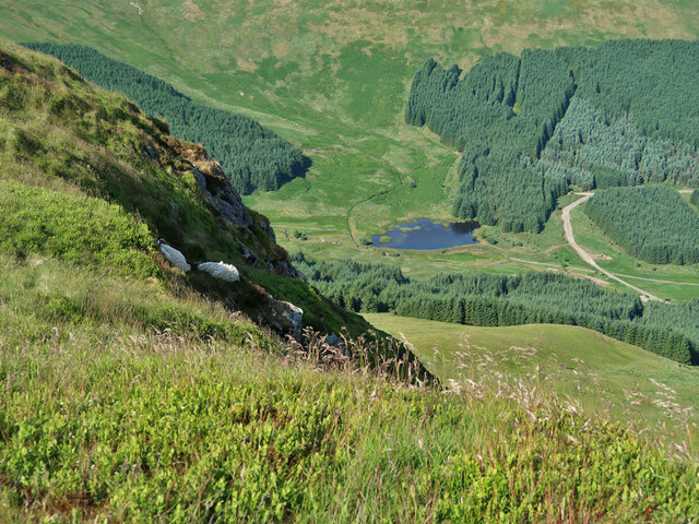
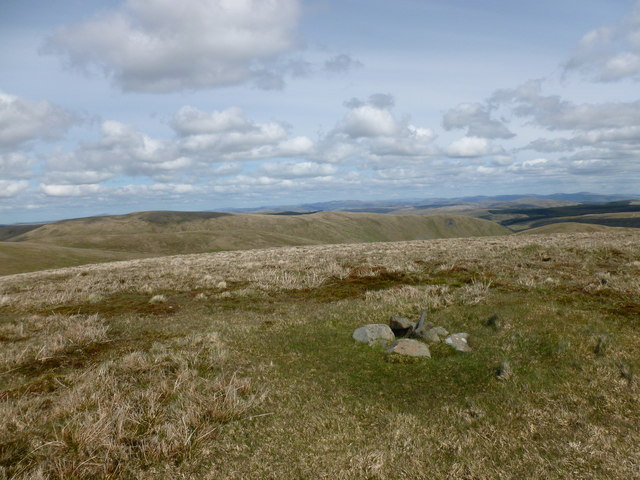
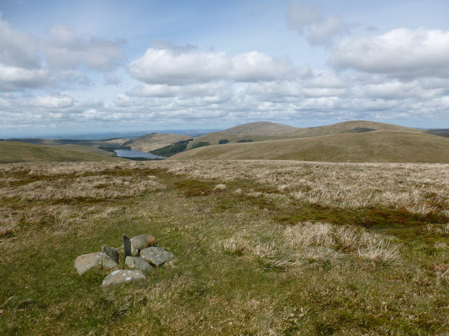
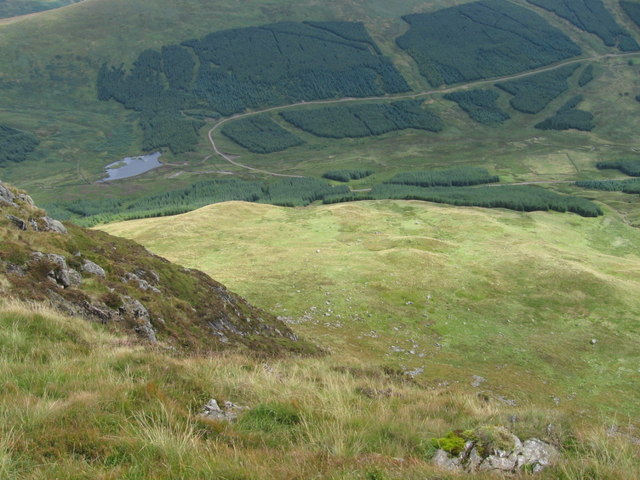
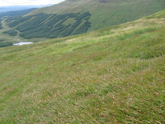
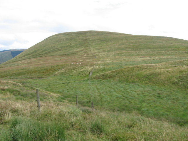
The hill is situated within the Galloway Forest Park, offering stunning panoramic views of the surrounding landscape. It is a popular destination for hikers and outdoor enthusiasts, who can enjoy a challenging climb to the summit. The terrain is rugged and rocky, with some steep sections, making it a moderate to difficult hike.

Mid Hill of Glenhead is known for its diverse flora and fauna, with heather-covered slopes and patches of woodland dotting the landscape. Visitors may encounter a variety of wildlife, including red deer, birds of prey, and other native species.

The hill is easily accessible from the nearby town of Kirkcudbright, with a network of walking trails leading to the summit. On a clear day, hikers can enjoy breathtaking views of the rolling hills and valleys of the Scottish countryside, making Mid Hill of Glenhead a must-visit destination for nature lovers and outdoor enthusiasts.

If you have any feedback on the listing, please let us know in the comments section below.

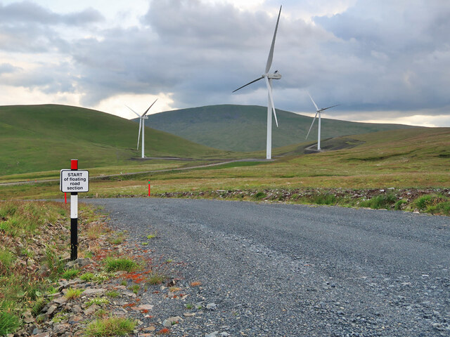
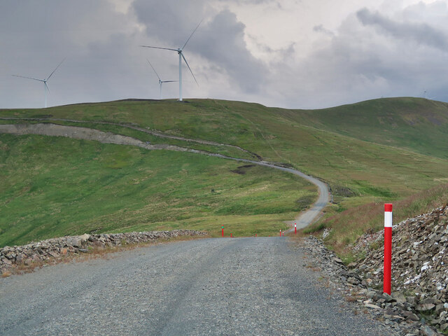
Mid Hill of Glenhead Images

Images are sourced within 2km of 55.268183/-4.1445985 or Grid Reference NX6399. Thanks to Geograph Open Source API. All images are credited.

Man-made lochan on the Moorbrock Estate Looking down from Moorbrock Hill.
Man-made lochan on the Moorbrock Estate
Looking down from Moorbrock Hill.
Floating road section in Windy Rig Wind Farm Possibly the cheapest way to build the road where the peat gets too deep.
Floating road section in Windy Rig Wind Farm
Possibly the cheapest way to build the road where the peat gets too deep.
Access road to Windy Rig Wind Farm
Forestry and moorland below Moorbrock Hill Near the start of the Polifferie Burn.
Forestry and moorland below Moorbrock Hill
Near the start of the Polifferie Burn.
Wind Farm track on Dodd Hill The access road to Windy Rig Wind Farm.
Wind Farm track on Dodd Hill
The access road to Windy Rig Wind Farm.
Wind Farm track junction on Dodd Hill The access road to Windy Rig Wind Farm.
Wind Farm track junction on Dodd Hill
The access road to Windy Rig Wind Farm.
Summit of Alhang - view towards Lowther Hills A wind turbine and ugly service roads may soon be dominating the summit of this peaceful hill as part of EoN's proposed 22 turbine Lorg Wind Farm.

The tiny cairn is marked as a boundary stone on the 1:25000 map.  It is (roughly) on the old county boundary between Ayrshire and Kirkcudbrightshire.
Summit of Alhang - view towards Lowther Hills
A wind turbine and ugly service roads may soon be dominating the summit of this peaceful hill as part of EoN's proposed 22 turbine Lorg Wind Farm. The tiny cairn is marked as a boundary stone on the 1:25000 map. It is (roughly) on the old county boundary between Ayrshire and Kirkcudbrightshire.
Summit of Alhang - view towards Afton Reservoir A wind turbine and ugly service roads may soon be dominating the summit of this peaceful hill as part of EoN's proposed 22 turbine Lorg Wind Farm.

The tiny cairn is marked as a boundary stone on the 1:25000 map. It is (roughly) on the old county boundary between Ayrshire and Kirkcudbrightshire.
Summit of Alhang - view towards Afton Reservoir
A wind turbine and ugly service roads may soon be dominating the summit of this peaceful hill as part of EoN's proposed 22 turbine Lorg Wind Farm. The tiny cairn is marked as a boundary stone on the 1:25000 map. It is (roughly) on the old county boundary between Ayrshire and Kirkcudbrightshire.
Mid Rig A spur leading south-east from Alhang.
Mid Rig
A spur leading south-east from Alhang.
New fence on Mid Rig An electric fence to keep sheep away from the steep drops on the right.
New fence on Mid Rig
An electric fence to keep sheep away from the steep drops on the right.
Water of Ken valley from Mid Rig Looking down the steep spur leading down from Alhang to the farm land at Holm of Dalquhairn.
Water of Ken valley from Mid Rig
Looking down the steep spur leading down from Alhang to the farm land at Holm of Dalquhairn.
Below Moorbrock Hill at Moorbrock Gairy
Below Bawnhead
Below Bawnhead
Below Mid Hill of Glenhead
Mid Hill of Glenhead
Slopes of Dodd Hill to Glenhead Rig
Pond on top of Dodd Hill
Holm Burn from Mid Hill of Glenhead
Show me another place!

Mid Hill of Glenhead is located at Grid Ref: NX6399 (Lat: 55.268183, Lng: -4.1445985)

Unitary Authority: Dumfries and Galloway

Police Authority: Dumfries and Galloway

What 3 Words

///exclaim.file.easily. Near New Cumnock, East Ayrshire

Related Wikis

Windy Standard

Windy Standard is a hill in the Carsphairn and Scaur Hills range, part of the Southern Uplands of Scotland. It lies in Dumfries and Galloway, south of...

Cairnsmore of Carsphairn

Cairnsmore of Carsphairn is a hill in the Carsphairn and Scaur Hills range, part of the Southern Uplands of Scotland. An alternative name, rarely used...

Blackcraig Hill

Blackcraig Hill is a hill in the Carsphairn and Scaur Hills range, part of the Southern Uplands of Scotland. It lies southeast of the town of New Cumnock...

Carsphairn and Scaur Hills

The Carsphairn and Scaur Hills are the western and eastern hills respectively of a hill range in the Southern Uplands of Scotland. Ordnance Survey maps...

Have you been to Mid Hill of Glenhead?

Leave your review of Mid Hill of Glenhead below (or comments, questions and feedback).