Auchenhay Hill
Hill, Mountain in Kirkcudbrightshire
Scotland
Auchenhay Hill

Auchenhay Hill is a prominent hill located in Kirkcudbrightshire, Scotland. It is part of the Galloway Hills range and sits at an elevation of approximately 396 meters (1,299 feet) above sea level. The hill is characterized by its steep slopes, rocky terrain, and lush green vegetation.
Auchenhay Hill offers stunning panoramic views of the surrounding countryside, including the Solway Firth and the rolling hills of Galloway. The hill is a popular destination for hikers and outdoor enthusiasts, with a number of walking trails and paths leading to the summit.
The area surrounding Auchenhay Hill is rich in biodiversity, with a variety of plant and animal species calling the hill home. Birdwatchers may spot red kites, buzzards, and other raptors soaring overhead, while deer and other wildlife can often be seen roaming the hillsides.
Overall, Auchenhay Hill is a beautiful and picturesque location that offers visitors the opportunity to experience the natural beauty of the Scottish countryside while enjoying a challenging hike to its summit.
If you have any feedback on the listing, please let us know in the comments section below.
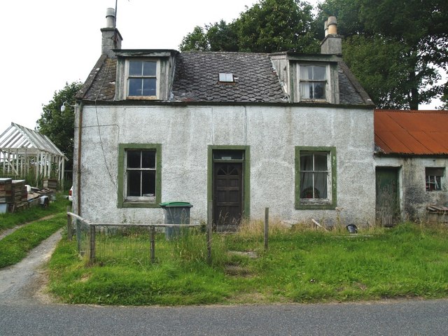
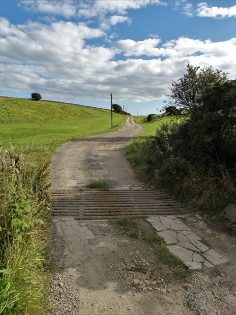
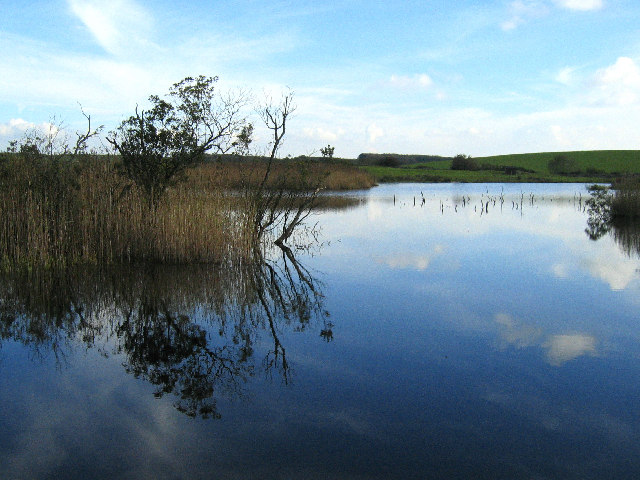
Auchenhay Hill Images
Images are sourced within 2km of 54.835214/-4.1285629 or Grid Reference NX6351. Thanks to Geograph Open Source API. All images are credited.


Auchenhay Hill is located at Grid Ref: NX6351 (Lat: 54.835214, Lng: -4.1285629)
Unitary Authority: Dumfries and Galloway
Police Authority: Dumfries and Galloway
What 3 Words
///robes.enchanted.wallet. Near Kirkcudbright, Dumfries & Galloway
Nearby Locations
Related Wikis

Borgue, Dumfries and Galloway
Borgue (pronounced /ˈbɔrɡ/; Scottish Gaelic: Borgh) is a village and parish in the Stewartry of Kirkcudbright in Dumfries and Galloway, Scotland. It lies...

Borgue Old House
Borgue Old House is a ruined Y-plan house, about 300 metres (0.2 mi) east of Borgue in Dumfries and Galloway, Scotland. Built in 1680, but probably incorporating...

Plunton Castle
Plunton Castle is a ruined L-plan tower house between Kirkandrews and Gatehouse of Fleet in Dumfries and Galloway, Scotland. Built around 1575 for the...

Girthon Old Parish Church
Girthon Old Parish Church is a ruined ecclesiastical building in Girthon, near Gatehouse of Fleet in Dumfries and Galloway. Built around 1620 on the foundations...
Nearby Amenities
Located within 500m of 54.835214,-4.1285629Have you been to Auchenhay Hill?
Leave your review of Auchenhay Hill below (or comments, questions and feedback).