Castle Hill
Hill, Mountain in Stirlingshire
Scotland
Castle Hill
Castle Hill, located in Stirlingshire, Scotland, is a prominent hill that dominates the landscape with its imposing presence. Rising to a height of approximately 275 meters (902 feet), it is often referred to as Castle Hill or Castlecary Hill due to its association with the nearby Castlecary Roman Fort.
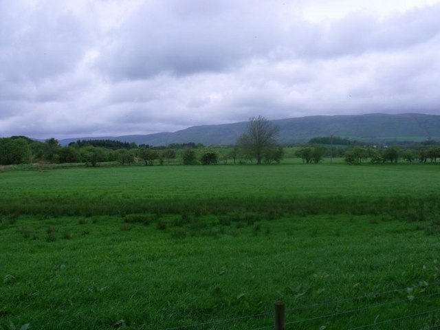
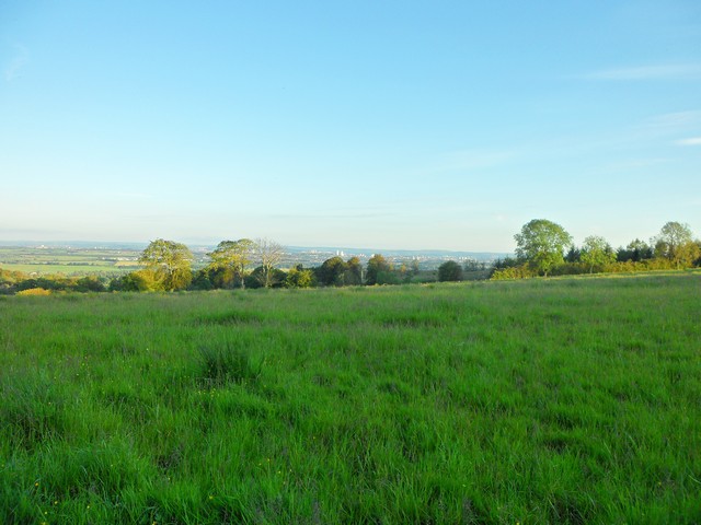
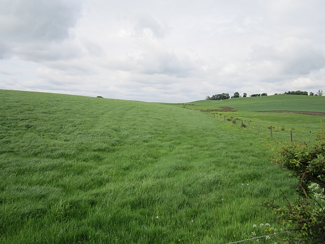
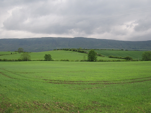
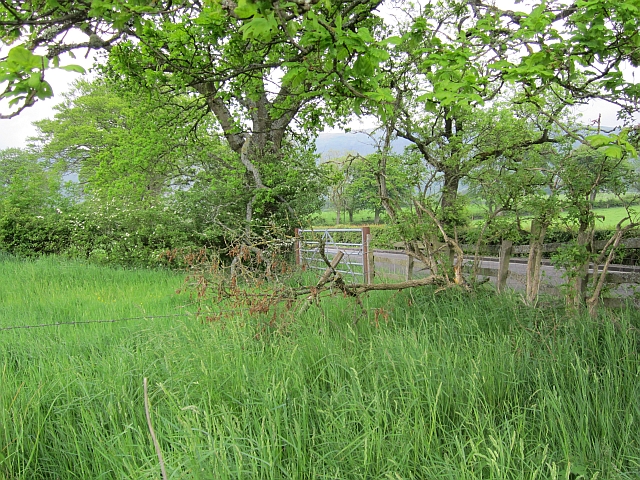
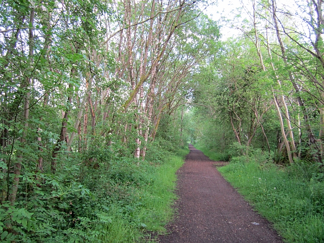
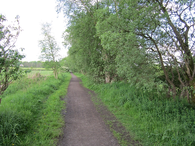
The hill is characterized by its steep slopes and rocky terrain, which make it a popular destination for hikers and nature enthusiasts. From the summit, visitors are rewarded with breathtaking panoramic views of the surrounding countryside, including the Forth Valley and the Campsie Fells in the distance.
Historically, Castle Hill played a significant role as a defensive stronghold. The remains of a fortification, believed to be from the Iron Age, can still be seen at the summit. This ancient hillfort, along with the nearby Castlecary Roman Fort, showcases the area's rich history and strategic importance.
The hill is also known for its diverse flora and fauna. The lower slopes are covered in dense woodland, providing a habitat for various species of trees, plants, and animals. The presence of wildflowers, such as bluebells and primroses, adds a vibrant touch to the landscape during the spring months.
Castle Hill is easily accessible, with several walking trails leading to the summit. The most popular route starts from the village of Castlecary, offering a moderate hike that takes approximately 1-2 hours to complete. Visitors should come prepared with appropriate footwear and clothing, as the weather can change rapidly, especially at higher altitudes.
Overall, Castle Hill in Stirlingshire combines natural beauty, historical significance, and recreational opportunities, making it a must-visit destination for those seeking a memorable outdoor experience.
If you have any feedback on the listing, please let us know in the comments section below.
Castle Hill Images
Images are sourced within 2km of 55.950192/-4.1931342 or Grid Reference NS6375. Thanks to Geograph Open Source API. All images are credited.


Castle Hill is located at Grid Ref: NS6375 (Lat: 55.950192, Lng: -4.1931342)
Unitary Authority: East Dunbartonshire
Police Authority: Greater Glasgow
What 3 Words
///object.mock.dome. Near Torrance, East Dunbartonshire
Nearby Locations
Related Wikis

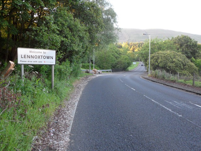
Torrance, East Dunbartonshire
Torrance is a relatively affluent village in East Dunbartonshire, formerly Stirlingshire, Scotland, located eight miles (thirteen kilometres) north of...

Torrance railway station
Torrance railway station was opened in 1879 on the Kelvin Valley Railway and served the area of the village of Torrance in East Dunbartonshire until 1951...

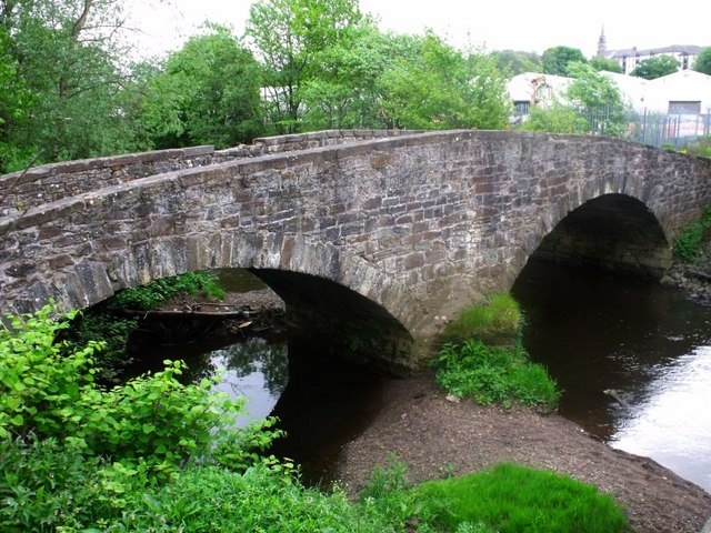
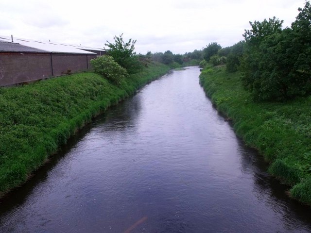
Glazert Water
The Glazert Water is a tributary of the River Kelvin in East Dunbartonshire, Scotland. It is formed 1 kilometre (5⁄8 mi) south of Clachan of Campsie (55...

Adamslie Park
Adamslie Park was formerly a football ground in Kirkintilloch, East Dunbartonshire, Scotland, which was the home ground of Scottish Junior Football Association...

Birdston
Birdston is a hamlet located in East Dunbartonshire, Scotland between Milton of Campsie and Kirkintilloch. The 'Campsie poet' William Muir (1766-1817)...

Luggie Water
The Luggie Water is one of two streams which flow out of Cumbernauld. The Scottish New Town’s name derives from the Gaelic for "the meeting of the waters...
St Ninian's High School, Kirkintilloch
St. Ninian's High School is a Roman Catholic co-educational comprehensive secondary school, located in Kirkintilloch, East Dunbartonshire, on the banks...
Milton of Campsie railway station
Milton of Campsie railway station served the village of Milton of Campsie, in the historical county of Stirlingshire, Scotland, from 1848 to 1951 on the...
Nearby Amenities
Located within 500m of 55.950192,-4.1931342Have you been to Castle Hill?
Leave your review of Castle Hill below (or comments, questions and feedback).