Bengray

Hill, Mountain in Kirkcudbrightshire

Scotland

Bengray

A male cuckoo (Cuculus canorus) landing on a post The tail feathers are beautifully displayed in this photo taken from a hide.
A male cuckoo (Cuculus canorus) landing on a post Credit: Walter Baxter

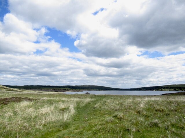
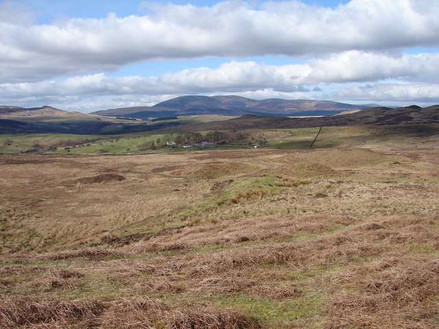
Bengray is a hill located in the county of Kirkcudbrightshire, Scotland. It is situated near the village of Twynholm and stands at an elevation of 315 meters (1,033 feet) above sea level. Bengray is part of the Galloway Hills range and offers stunning panoramic views of the surrounding countryside.

The hill is a popular destination for hikers and outdoor enthusiasts due to its relatively easy access and well-maintained trails. The ascent to the summit of Bengray is moderate, making it suitable for hikers of all skill levels. Along the way, hikers can enjoy the diverse flora and fauna that call Bengray home, including heather, bracken, and various bird species.

At the summit, hikers are rewarded with breathtaking views of the rolling hills and valleys of Kirkcudbrightshire, as well as the nearby Solway Firth and Irish Sea. On a clear day, it is possible to see as far as the Isle of Man and the Lake District in England.

Overall, Bengray is a picturesque and serene hill that offers a peaceful retreat for those looking to escape the hustle and bustle of everyday life.

If you have any feedback on the listing, please let us know in the comments section below.

Bengray Images

Images are sourced within 2km of 54.914423/-4.1371431 or Grid Reference NX6359. Thanks to Geograph Open Source API. All images are credited.

A male cuckoo (Cuculus canorus) landing on a post The tail feathers are beautifully displayed in this photo taken from a hide.
A male cuckoo (Cuculus canorus) landing on a post
The tail feathers are beautifully displayed in this photo taken from a hide.
Path to Loch Whinyeon Beside a lade, no longer in use. Water from the reservoir at Loch Whinyeon was delivered to the lade through a tunnel under the col between Benfadyeon and Craigtype.
Path to Loch Whinyeon
Beside a lade, no longer in use. Water from the reservoir at Loch Whinyeon was delivered to the lade through a tunnel under the col between Benfadyeon and Craigtype.
Lade and tunnel, Loch Whinyeon Water was once moved from Loch Whinyeon via a tunnel under the Benfadyeon / Craigtype col.  Now the cutting at the west portal is a haven for plants out of reach of the sheep.
Lade and tunnel, Loch Whinyeon
Water was once moved from Loch Whinyeon via a tunnel under the Benfadyeon / Craigtype col. Now the cutting at the west portal is a haven for plants out of reach of the sheep.
Loch Whinyeon and path
Bengray View from the northwest.
Bengray
View from the northwest.
View to the sea from Benfadyon Over Gatehouse of Fleet to Wigton Bay.
View to the sea from Benfadyon
Over Gatehouse of Fleet to Wigton Bay.
Loch Whinyeon View from Benfadyeon towards the half forested Loch Hill above Grobdale.
Loch Whinyeon
View from Benfadyeon towards the half forested Loch Hill above Grobdale.
Summit, Benfadyon
Summit, Benfadyon
Loch Whinyeon View from Benfadyeon.
Loch Whinyeon
View from Benfadyeon.
Bengray View from Benfadyeon.
Bengray
View from Benfadyeon.
Loch Whinyeon and Bengray View from Fell of Laghead.
Loch Whinyeon and Bengray
View from Fell of Laghead.
Glengap Burn in Glengap Forest
Loch Whinyeon This is a view across the reservoir to Craigtype.
Loch Whinyeon
This is a view across the reservoir to Craigtype.
Eastwards towards Loch Winyeon Near Laghead Farmhouse
Eastwards towards Loch Winyeon
Near Laghead Farmhouse
Benfadyeon - West Slopes View across Largoes Moor from west slopes of Benfadyeon. Beyond is Laghead Farm and in the distance the western Galloway Hills.
Benfadyeon - West Slopes
View across Largoes Moor from west slopes of Benfadyeon. Beyond is Laghead Farm and in the distance the western Galloway Hills.
Loch Whinyeon
Loch Whinyeon
Sluice at Loch Whinyeon
Flock of sheep on the bank of Loch Whinyeon
Show me another place!

Bengray is located at Grid Ref: NX6359 (Lat: 54.914423, Lng: -4.1371431)

Unitary Authority: Dumfries and Galloway

Police Authority: Dumfries and Galloway

What 3 Words

///cycled.polices.quilt. Near Kirkcudbright, Dumfries & Galloway

Nearby Locations

Bengray

Related Wikis

Gatehouse of Fleet

Gatehouse of Fleet (Scots: Gatehoose o Fleet Scottish Gaelic: Taigh an Rathaid) is a town, half in the civil parish of Girthon, and half in the parish...

Gatehouse of Fleet Town Hall

Gatehouse of Fleet Town Hall is a former municipal building in the High Street in Gatehouse of Fleet, Dumfries and Galloway, Scotland. The structure, which...
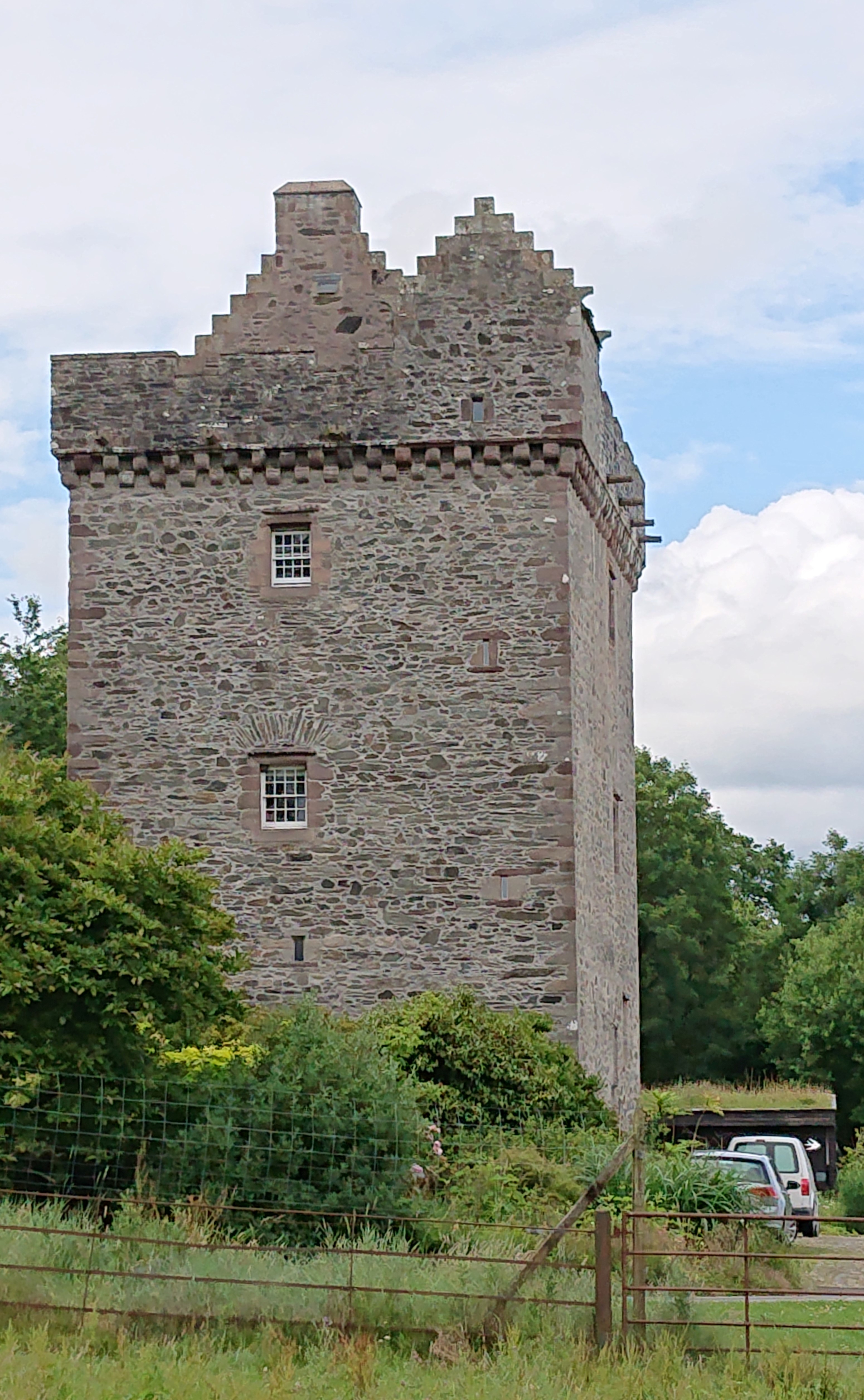
Rusco Tower

Rusco Tower, sometimes called Rusco Castle, is a tower house near Gatehouse of Fleet in Dumfries and Galloway, Scotland. Built around 1500 for Mariota...

Trusty's Hill

Trusty's Hill is a small vitrified hillfort about a mile to the west of the present-day town of Gatehouse of Fleet, in the parish of Anwoth in the Stewartry...

Have you been to Bengray?

Leave your review of Bengray below (or comments, questions and feedback).