Berry Hill

Hill, Mountain in Ayrshire

Scotland

Berry Hill

Track down to Dalblair The track leading down to Dalblair.
This photo was taken on the 29th April 2022.
Track down to Dalblair Credit: Rab McMurdo

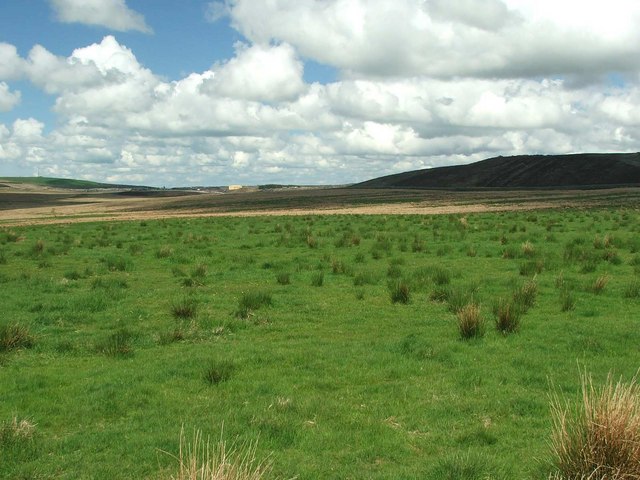
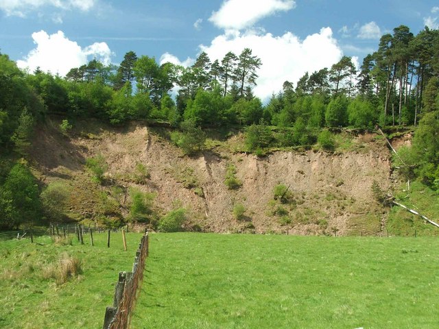
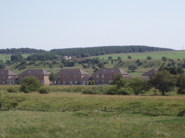
Berry Hill is a prominent hill located in Ayrshire, Scotland. Standing at an elevation of approximately 400 meters (1,300 feet), it offers stunning panoramic views of the surrounding countryside. Situated near the village of Crosshill, Berry Hill is a popular destination for outdoor enthusiasts and nature lovers.

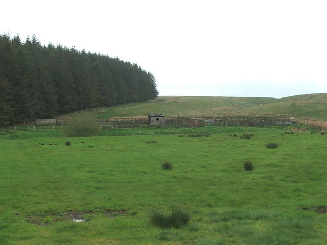
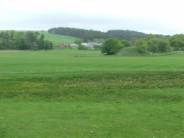
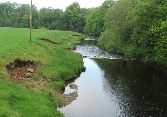
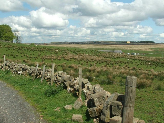
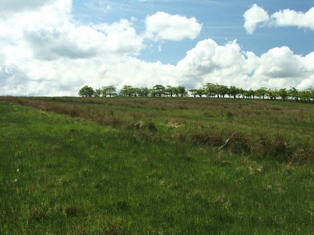
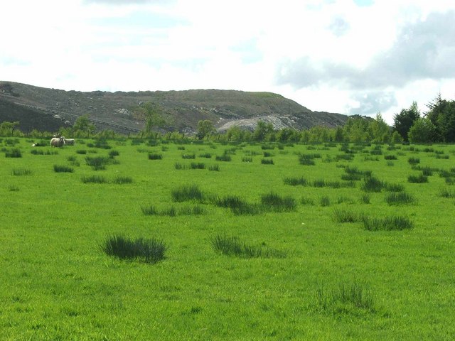
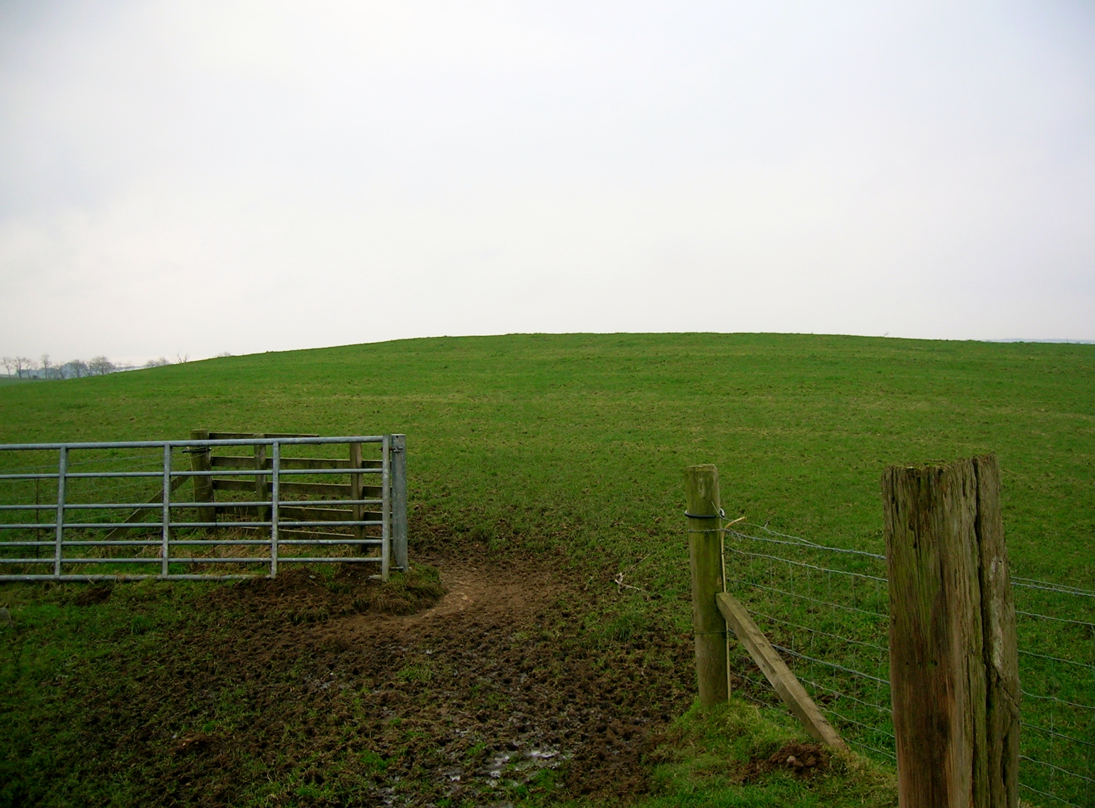
The hill itself is characterized by its gentle slopes and lush greenery. It is part of the Southern Uplands range, which stretches across southern Scotland. The terrain is predominantly covered in grass, heather, and scattered shrubs, providing a habitat for various wildlife species.

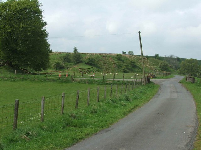
Visitors can access Berry Hill via a well-maintained footpath that winds its way up the hillside. The trail offers a moderately challenging hike, suitable for individuals of different fitness levels. Along the route, hikers can enjoy the peaceful ambiance and observe the diverse flora and fauna that inhabit the area.

Once at the summit, the breathtaking views are well worth the effort. On a clear day, one can see the rolling hills of Ayrshire, the Firth of Clyde, and even the distant peaks of Arran Island. The summit also offers a perfect spot for picnics or simply to soak in the tranquil atmosphere and admire the natural beauty.

Overall, Berry Hill in Ayrshire is a picturesque and accessible location for outdoor enthusiasts seeking a rewarding experience amidst Scotland's stunning landscape.

If you have any feedback on the listing, please let us know in the comments section below.
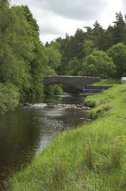
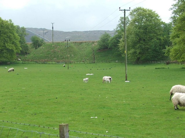
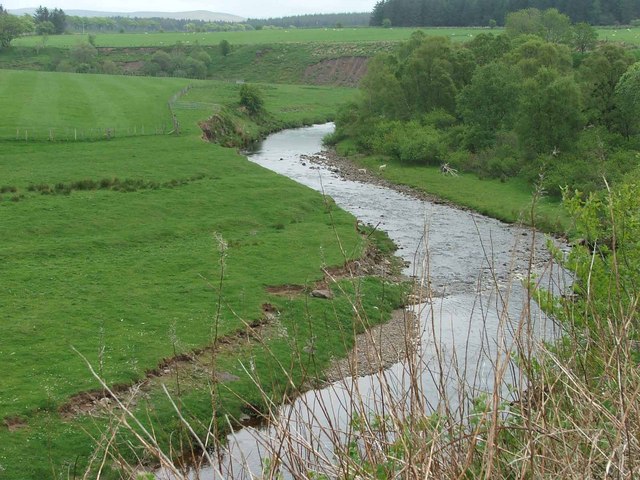
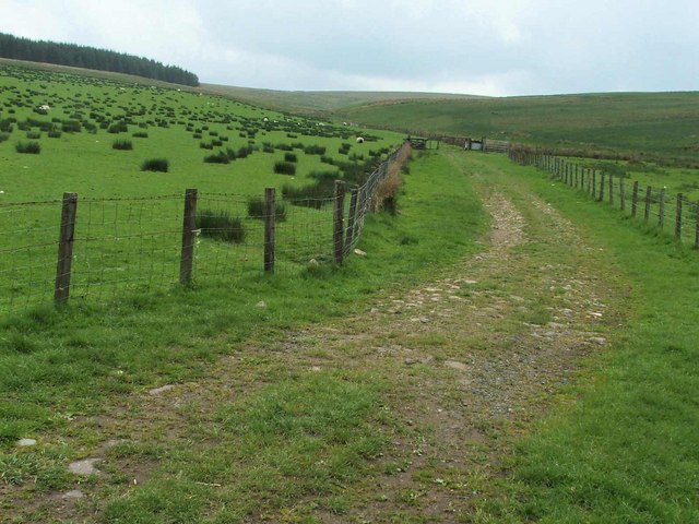
Berry Hill Images

Images are sourced within 2km of 55.439709/-4.1659256 or Grid Reference NS6318. Thanks to Geograph Open Source API. All images are credited.

Track down to Dalblair The track leading down to Dalblair.
This photo was taken on the 29th April 2022.
Track down to Dalblair
The track leading down to Dalblair. This photo was taken on the 29th April 2022.
Kyle Castle The remains of Kyle Castle.
Kyle Castle
The remains of Kyle Castle.
Dalblair Bridge Over the Glenmuir Water
Dalblair Bridge
Over the Glenmuir Water
Remains of Kyle Castle The Guelt Water is the river on the left hand side
Remains of Kyle Castle
The Guelt Water is the river on the left hand side
Sheep grazing at Garleffan Farm Typical agricultural land with a massive opencast coal site in the background. A conveyor is clearly visible for transporting coal to a more accessible point for transport and distribution.
Sheep grazing at Garleffan Farm
Typical agricultural land with a massive opencast coal site in the background. A conveyor is clearly visible for transporting coal to a more accessible point for transport and distribution.
The Glenmuir Water. The Glenmuir Water is a tributary of the Lugar Water which is in turn a tributary of the River Ayr.
The Glenmuir Water.
The Glenmuir Water is a tributary of the Lugar Water which is in turn a tributary of the River Ayr.
Looking past Dornal Wood and Farm House This is the end point of the public road.
Looking past Dornal Wood and Farm House
This is the end point of the public road.
The Mole Catcher's been This once familiar sight around Ayrshire is rare nowadays.
The Mole Catcher's been
This once familiar sight around Ayrshire is rare nowadays.
View up the Pittairn Burn
Sheepfold.
Sheepfold.
Garlaffan Farm Entrance.
Dornal farm. Dornal Farm with manmade earth mound in the mid distance.
Dornal farm.
Dornal Farm with manmade earth mound in the mid distance.
View from Dalblair bridge. The Glenmuir looking downstream from Dalblair bridge.
View from Dalblair bridge.
The Glenmuir looking downstream from Dalblair bridge.
Looking across Watsonburn fields. Yet again I encounter more opencast mining in the area.
Looking across Watsonburn fields.
Yet again I encounter more opencast mining in the area.
High Polquheys. High on the hill with nothing around you but sheep and dump trucks, excavators, face shovels etc. Not really idyllic, is it?
High Polquheys.
High on the hill with nothing around you but sheep and dump trucks, excavators, face shovels etc. Not really idyllic, is it?
Unimproved grassland To the left of the trees , the mast on top of Avisyard hill can be seen sticking above the horizon.
Unimproved grassland
To the left of the trees , the mast on top of Avisyard hill can be seen sticking above the horizon.
High Garleffan? I think it's safe to assume that High Garleffan has well and truly disappeared.
Yet more opencast workings.
High Garleffan?
I think it's safe to assume that High Garleffan has well and truly disappeared. Yet more opencast workings.
Landslip. Erosion on the banks of the Guelt Water.
Landslip.
Erosion on the banks of the Guelt Water.
Show me another place!

Berry Hill is located at Grid Ref: NS6318 (Lat: 55.439709, Lng: -4.1659256)

Unitary Authority: East Ayrshire

Police Authority: Ayrshire

What 3 Words

///headrest.fingertip.disputes. Near Logan, East Ayrshire

Nearby Locations

Berry Hill

Related Wikis

Mansfield, East Ayrshire

Mansfield is a village in East Ayrshire in Scotland. It is north of New Cumnock from which it is separated by the River Nith and the adjacent village of...

New Cumnock railway station

New Cumnock railway station is a railway station serving the town of New Cumnock, East Ayrshire, Scotland. The station is managed by ScotRail and is on...

Cronberry

Cronberry is a small hamlet situated north-east of Cumnock and one mile north-east of Lugar, in East Ayrshire, Scotland. == History == Cronberry has a...

Lands of Borland, Barony of Cumnock

The Lands of Borland or Boreland (NS 5864 1742) formed a castle and land holdings within the old Barony of Cumnock, East Ayrshire, Parish of Old Cumnock...

Have you been to Berry Hill?

Leave your review of Berry Hill below (or comments, questions and feedback).