Barn Hill

Hill, Mountain in Kirkcudbrightshire

Scotland

Barn Hill

The A75 From the B727
The A75 From the B727 Credit: Mark McKie

Barn Hill is a prominent hill located in Kirkcudbrightshire, Scotland. It stands at an elevation of approximately 220 meters above sea level and offers stunning views of the surrounding countryside. The hill is known for its distinctive shape, with a gentle slope leading up to a rounded summit.

Barn Hill is a popular destination for hikers and outdoor enthusiasts, with several well-marked trails leading to the top. The hill is also home to a variety of plant and animal species, making it a great spot for nature lovers to explore.

In addition to its natural beauty, Barn Hill also has historical significance. It is believed to have been used as a lookout point during the Roman occupation of Scotland, and there are remnants of ancient fortifications scattered across the hill.

Overall, Barn Hill is a picturesque and historically rich destination that offers both recreational opportunities and a glimpse into Scotland's past. Whether you're looking to hike, birdwatch, or simply enjoy the views, Barn Hill has something to offer for everyone.

If you have any feedback on the listing, please let us know in the comments section below.
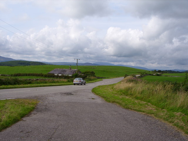
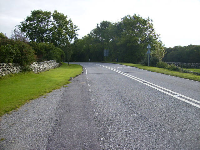
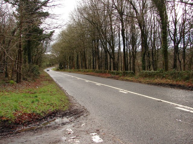
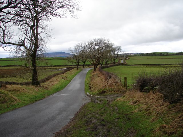
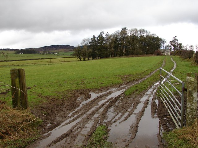
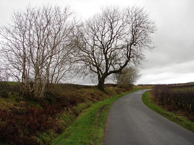
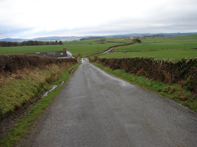
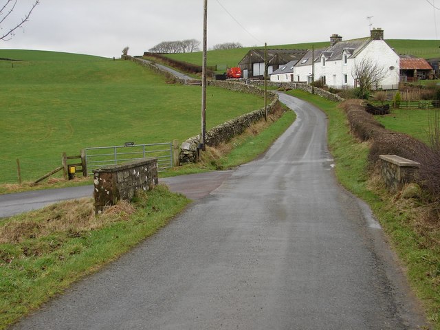
Barn Hill Images

Images are sourced within 2km of 54.86445/-4.1379886 or Grid Reference NX6254. Thanks to Geograph Open Source API. All images are credited.

The A75 From the B727
Enrick Farm Through the Trees
Barharrow Cottage Beside the A755
Cattle Grazing
Cattle Grazing
Minto Cottage at the Junction with the A755
Llamas Grazing
Llamas Grazing
A75 Gretna-Stranraer Road near Twynholm. Picture taken from the east end of the lay-by west of the junction of the A75 and the Old Military Road.
A75 Gretna-Stranraer Road near Twynholm.
Picture taken from the east end of the lay-by west of the junction of the A75 and the Old Military Road.
The A755 road near Barharrow
Approaching the A755 at Barharrow
Townhead Bridge Bridge over the Townhead Burn, situated on the unclassified Old Military Road between Gatehouse-of-Fleet and Twynholm.
Townhead Bridge
Bridge over the Townhead Burn, situated on the unclassified Old Military Road between Gatehouse-of-Fleet and Twynholm.
Whillan East Wood - B727 The B727 (original A75) heads SE from Gatehouse-of-Fleet toward the modern A75. Whillan East Wood (right of picture) is part of the Fleet Forest; left is the turn-off onto the Old Military Road via Townhead.
Whillan East Wood - B727
The B727 (original A75) heads SE from Gatehouse-of-Fleet toward the modern A75. Whillan East Wood (right of picture) is part of the Fleet Forest; left is the turn-off onto the Old Military Road via Townhead.
Townhead Farm View over the fields to Townhead Farm, taken from the S side of the unclassified Old Military Road between Gatehouse-of-Fleet and Twynholm.
Townhead Farm
View over the fields to Townhead Farm, taken from the S side of the unclassified Old Military Road between Gatehouse-of-Fleet and Twynholm.
Townhead - Littleton Winter view SSW across the fields from the unclassified Old Military Road between Townhead and Littleton farms.  In the distance is Wigtown Bay.
Townhead - Littleton
Winter view SSW across the fields from the unclassified Old Military Road between Townhead and Littleton farms. In the distance is Wigtown Bay.
Tannymass - Old Military Road View westward along the unclassified Old Military Road between Twynholm and Gatehouse-of-Fleet. In the distance is Cairnharrow (456m).
Tannymass - Old Military Road
View westward along the unclassified Old Military Road between Twynholm and Gatehouse-of-Fleet. In the distance is Cairnharrow (456m).
Tanymaas Farm Winter muddy track leads up from the Old Military Road to thelonely Tanymaas Farm. NNW are the cottages and farm of Greenslack.
Tanymaas Farm
Winter muddy track leads up from the Old Military Road to thelonely Tanymaas Farm. NNW are the cottages and farm of Greenslack.
Gategill Hill Rather featureless stretch on the unclassified Old Military Road (Twynholm - Gatehouse-of-Fleet) with ascending fields on either side. Gategill Hill rises on the S (left of photo).
Gategill Hill
Rather featureless stretch on the unclassified Old Military Road (Twynholm - Gatehouse-of-Fleet) with ascending fields on either side. Gategill Hill rises on the S (left of photo).
Muiryard The Old Military Road (Gatehouse-of-Fleet - Twynholm) descends to Muiryard before continuing on for a further mile to join the A75 trunk road.
Muiryard
The Old Military Road (Gatehouse-of-Fleet - Twynholm) descends to Muiryard before continuing on for a further mile to join the A75 trunk road.
Muiryard Bridge and Farm Bridge over the Muiryard Burn, situated on the unclassified Old Military Road between Twynholm and Gatehouse-of-Fleet.
Muiryard Bridge and Farm
Bridge over the Muiryard Burn, situated on the unclassified Old Military Road between Twynholm and Gatehouse-of-Fleet.
Show me another place!

Barn Hill is located at Grid Ref: NX6254 (Lat: 54.86445, Lng: -4.1379886)

Unitary Authority: Dumfries and Galloway

Police Authority: Dumfries and Galloway

What 3 Words

///solves.professes.bottle. Near Kirkcudbright, Dumfries & Galloway

Nearby Locations

Barn Hill

Related Wikis

Girthon Old Parish Church

Girthon Old Parish Church is a ruined ecclesiastical building in Girthon, near Gatehouse of Fleet in Dumfries and Galloway. Built around 1620 on the foundations...

Cally Palace

Cally Palace, formerly known as Cally House, is an 18th-century country house in the historical county of Kirkcudbrightshire in Dumfries and Galloway...

Twynholm

Twynholm () is a village in Scotland. It is located 2+1⁄4 miles (3.6 km) north-northwest of Kirkcudbright and 4+1⁄2 miles (7.2 km) east of Gatehouse of...

Gatehouse of Fleet Town Hall

Gatehouse of Fleet Town Hall is a former municipal building in the High Street in Gatehouse of Fleet, Dumfries and Galloway, Scotland. The structure, which...

Nearby Amenities

Located within 500m of 54.86445,-4.1379886
Power: pole
Lat/Long: 54.8650372/-4.1313192
Power: pole
Lat/Long: 54.8655755/-4.1327236
Power: pole
Lat/Long: 54.8660602/-4.1340113
Power: pole
Lat/Long: 54.8665448/-4.135306
Power: pole
Lat/Long: 54.8674899/-4.135243
Power: pole
Lat/Long: 54.8683921/-4.135166
The data included in this document is from www.openstreetmap.org. The data is made available under ODbL.

Have you been to Barn Hill?

Leave your review of Barn Hill below (or comments, questions and feedback).