Birch Hill

Hill, Mountain in Kirkcudbrightshire

Scotland

Birch Hill

Fire Station, New Galloway The fire station on the south side of the A712 seen across a lawned area.
Fire Station, New Galloway Credit: Trevor Littlewood

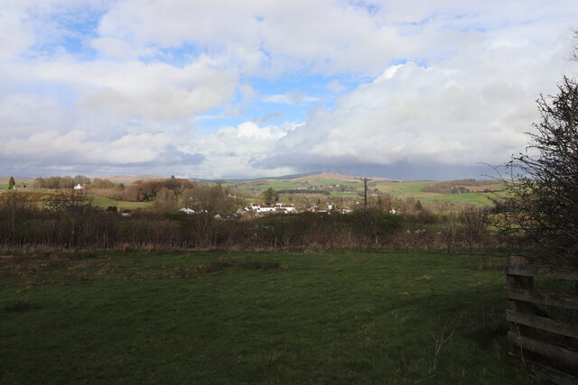
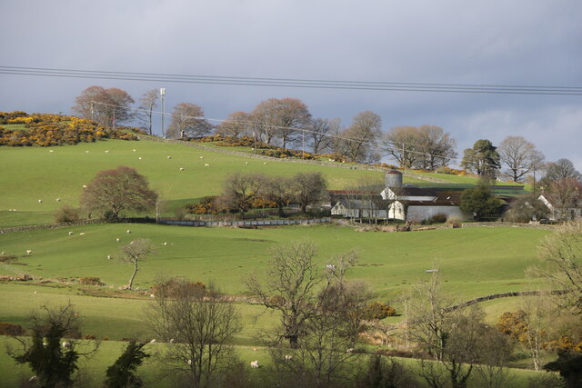
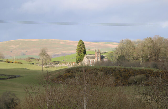
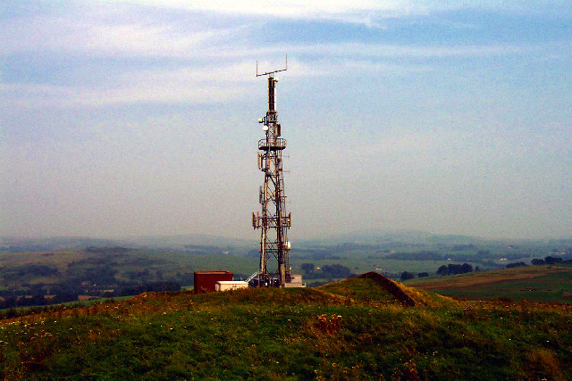
Birch Hill is a prominent hill located in the region of Kirkcudbrightshire in Scotland. Standing at an elevation of approximately 237 meters, Birch Hill offers stunning panoramic views of the surrounding countryside and coastline. The hill is covered in a mix of grassy slopes, heather, and scattered birch trees, giving it a picturesque and peaceful atmosphere.

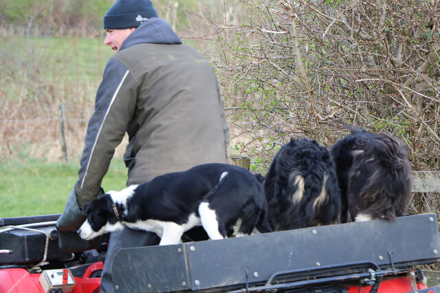
Birch Hill is a popular destination for hikers and nature enthusiasts, with several walking trails leading to the summit. The climb to the top is moderate in difficulty, making it accessible to a wide range of fitness levels. Along the way, visitors may encounter various wildlife species, including birds of prey, deer, and other small mammals.

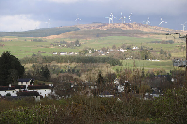
At the summit of Birch Hill, visitors are rewarded with breathtaking views of the Solway Firth and the rolling hills of Kirkcudbrightshire. On a clear day, it is possible to see as far as the Isle of Man and the Lake District in England. The hill is also a great spot for birdwatching, with a variety of bird species frequenting the area.

Overall, Birch Hill is a peaceful and scenic destination that offers visitors the opportunity to connect with nature and enjoy the beauty of the Scottish countryside.

If you have any feedback on the listing, please let us know in the comments section below.
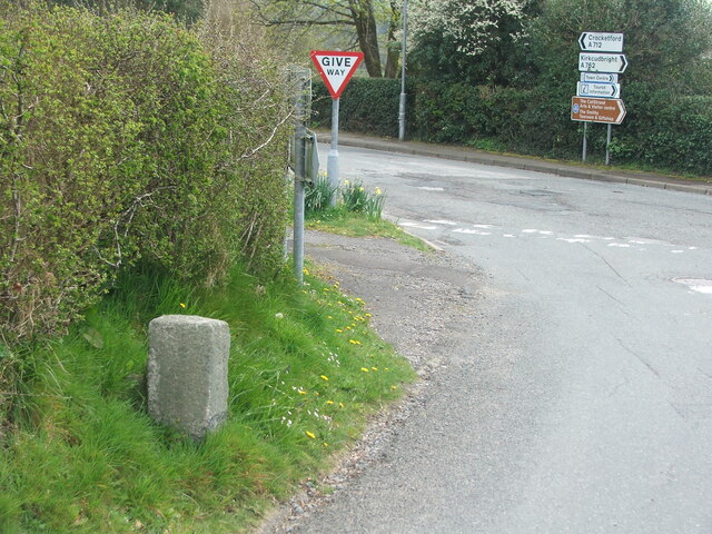
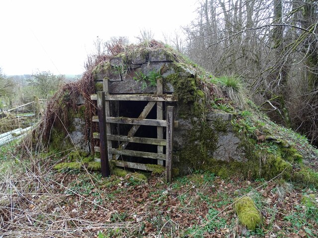
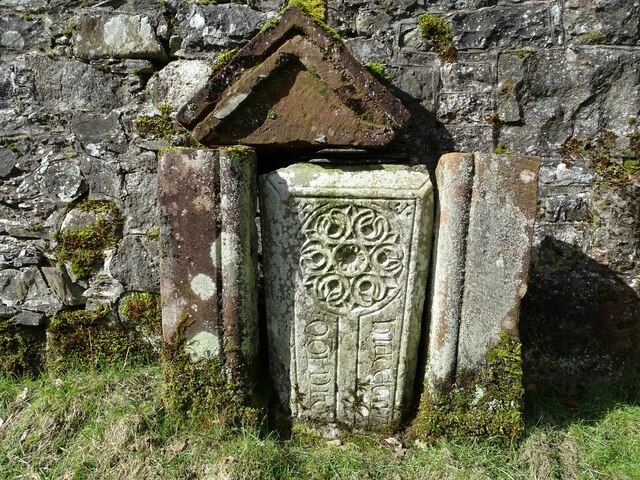
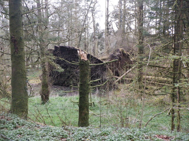
Birch Hill Images

Images are sourced within 2km of 55.069174/-4.1595773 or Grid Reference NX6277. Thanks to Geograph Open Source API. All images are credited.

Fire Station, New Galloway The fire station on the south side of the A712 seen across a lawned area.
Fire Station, New Galloway
The fire station on the south side of the A712 seen across a lawned area.
New Galloway Episcopalian Church Located on the main route into the village from Ken Bridge.
New Galloway Episcopalian Church
Located on the main route into the village from Ken Bridge.
Farmland at New Galloway Viewed from the Old Edinburgh Road.
Farmland at New Galloway
Viewed from the Old Edinburgh Road.
Kells Parish Church, New Galloway Viewed from the Old Edinburgh Road.
Kells Parish Church, New Galloway
Viewed from the Old Edinburgh Road.
Viewfield Farm, New Galloway Viewed from the Old Edinburgh Road.
Viewfield Farm, New Galloway
Viewed from the Old Edinburgh Road.
New Galloway Viewed from the Old Edinburgh Road. With a view to a Windfarm.
New Galloway
Viewed from the Old Edinburgh Road. With a view to a Windfarm.
Kells Parish Church in Sunlight Viewed from the Old Edinburgh Road.
Kells Parish Church in Sunlight
Viewed from the Old Edinburgh Road.
Farmer and Sheepdogs, New Galloway On the Old Edinburgh Road.
Farmer and Sheepdogs, New Galloway
On the Old Edinburgh Road.
Old milestone When railways were constructed across the hills of Kirkcudbright and Wigtonshire the stations were often several miles from the nearest large settlement.   The station for New Galloway was 5 miles to the south along the west bank of Loch Ken and on to Mossdale.    Milestones of this shape are found on several of the roads leading to stations.  From New Galloway it is 5 miles to the station.   This stone is in the village centre near The Smithy Tea Room.
Old milestone
When railways were constructed across the hills of Kirkcudbright and Wigtonshire the stations were often several miles from the nearest large settlement. The station for New Galloway was 5 miles to the south along the west bank of Loch Ken and on to Mossdale. Milestones of this shape are found on several of the roads leading to stations. From New Galloway it is 5 miles to the station. This stone is in the village centre near The Smithy Tea Room.
Old milestone The next 'railway' milestone south of New Galloway is at the entrance to Todstone Cottage.  N G/ 1/ Dalry/4¼ on the left face.
Old milestone
The next 'railway' milestone south of New Galloway is at the entrance to Todstone Cottage. N G/ 1/ Dalry/4¼ on the left face.
Old milestone The right hand face is in the shade on this sunny day but beneath the lichens the inscription is N.G.St.n/4.  The property was surrounded by this high fencing and several dogs were barking.
Old milestone
The right hand face is in the shade on this sunny day but beneath the lichens the inscription is N.G.St.n/4. The property was surrounded by this high fencing and several dogs were barking.
Old milestone This milestone in the centre of New Galloway on the A712 indicates 24 miles from Dumfries.   It is another 18 miles to Newton Stewart.
Old milestone
This milestone in the centre of New Galloway on the A712 indicates 24 miles from Dumfries. It is another 18 miles to Newton Stewart.
Old milestone The crossroads in New Galloway, with a road north following the Water of Ken for 3 or 4 miles to Earlstoun Loch.   Crocketford is to the east on the way to Dumfries.
Old milestone
The crossroads in New Galloway, with a road north following the Water of Ken for 3 or 4 miles to Earlstoun Loch. Crocketford is to the east on the way to Dumfries.
Kenmure Castle An old ice-house by Kenmure Castle.
Kenmure Castle
An old ice-house by Kenmure Castle.
Kenmure Castle Part of an incised cross-slab set against the wall of the walled garden at Kenmure Castle.
Kenmure Castle
Part of an incised cross-slab set against the wall of the walled garden at Kenmure Castle.
Windthrow near New Galloway By Sentry Knowe.
Windthrow near New Galloway
By Sentry Knowe.
Fintloch Hill Fintloch Hill near New Galloway has this TV-Relay for New Galloway and St John's Town of Dalry on it. The River Ken dominates this whole valley.
Fintloch Hill
Fintloch Hill near New Galloway has this TV-Relay for New Galloway and St John's Town of Dalry on it. The River Ken dominates this whole valley.
New Galloway View south up the main street showing the rendered fronts of the buildings of this lovely Galloway village.
New Galloway
View south up the main street showing the rendered fronts of the buildings of this lovely Galloway village.
Show me another place!

Birch Hill is located at Grid Ref: NX6277 (Lat: 55.069174, Lng: -4.1595773)

Unitary Authority: Dumfries and Galloway

Police Authority: Dumfries and Galloway

What 3 Words

///heads.pats.another. Near Castle Douglas, Dumfries & Galloway

Nearby Locations

Birch Hill

Related Wikis

Water of Ken

The Water of Ken is a river in the historical county of Kirkcudbrightshire in Galloway, south-west Scotland.It rises on Blacklorg Hill, north-east of Cairnsmore...

New Galloway Town Hall

The New Galloway Town Hall is a municipal building in Dumfries and Galloway, Scotland, situated on the town's high street. A tolbooth has existed on the...

New Galloway

New Galloway (Scottish Gaelic: Gall-Ghàidhealaibh Nuadh) is a town in the historical county of Kirkcudbrightshire in Dumfries and Galloway. It lies on...

Kenmure Castle

Kenmure Castle is a fortified house or castle in The Glenkens, 1 mile (1.6 km) south of the town of New Galloway in Kirkcudbrightshire, Galloway, south...

Nearby Amenities

Located within 500m of 55.069174,-4.1595773
Power: pole
Lat/Long: 55.0723446/-4.1634853
Power: pole
Lat/Long: 55.072226/-4.1651169
Power: pole
Lat/Long: 55.0731187/-4.158745
Power: pole
Lat/Long: 55.0729302/-4.1626753
Power: pole
Lat/Long: 55.0718728/-4.1537405
Power: pole
Lat/Long: 55.071014/-4.1536024
Power: pole
Lat/Long: 55.0703255/-4.1534771
Power: pole
Lat/Long: 55.0696371/-4.1533539
Power: pole
Lat/Long: 55.0689559/-4.1532285
Power: pole
Lat/Long: 55.0683342/-4.1531181
Power: pole
Lat/Long: 55.0677722/-4.1532859
Power: pole
Lat/Long: 55.0672212/-4.1534495
Power: pole
Lat/Long: 55.0663769/-4.1536853
Power: pole
Lat/Long: 55.0683525/-4.153868
Power: pole
Lat/Long: 55.0683914/-4.1556228
Power: pole
Lat/Long: 55.0684072/-4.1564875
Power: pole
Lat/Long: 55.0725272/-4.1577154
Power: pole
Lat/Long: 55.0727194/-4.1564322
Power: pole
Lat/Long: 55.0722048/-4.1582338
Power: pole
Lat/Long: 55.0716879/-4.1546286
Power: pole
Lat/Long: 55.0714252/-4.1559818
Power: pole
Lat/Long: 55.0711697/-4.1572501
Power: pole
Lat/Long: 55.0709058/-4.1582295
Power: pole
Lat/Long: 55.0706309/-4.1592578
Power: pole
Lat/Long: 55.0702745/-4.160628
The data included in this document is from www.openstreetmap.org. The data is made available under ODbL.

Have you been to Birch Hill?

Leave your review of Birch Hill below (or comments, questions and feedback).