Black Hill

Hill, Mountain in Ayrshire

Scotland

Black Hill

Wind Farm on Jedburgh Knees Taken from the slopes of Windy Standard.

On a day like this, the wind farm seems to add interest to the monotony of the extensive forestry. Well, almost!
Wind Farm on Jedburgh Knees Credit: Michael Earnshaw

Black Hill is a prominent hill located in Ayrshire, Scotland. Standing at an elevation of 502 meters (1,647 feet), it is considered one of the highest points in the region. The hill is situated near the village of Dalmellington, approximately 16 kilometers (10 miles) east of Ayr.

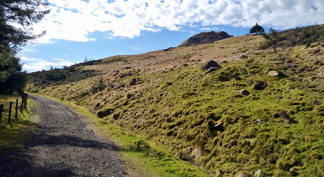
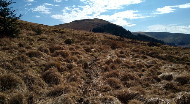
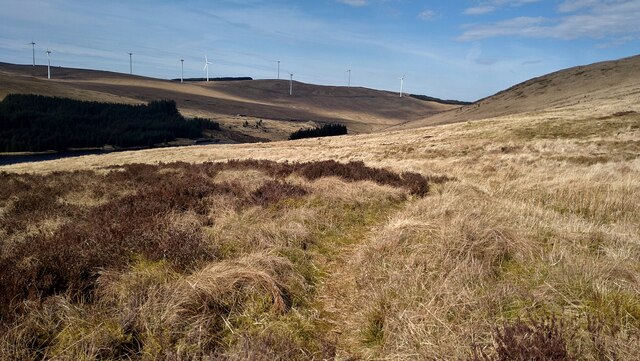
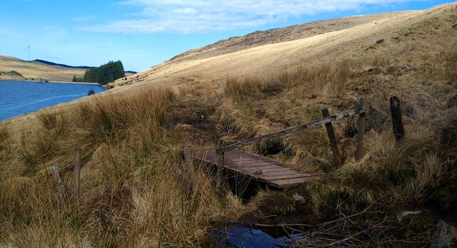
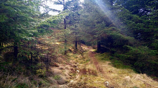
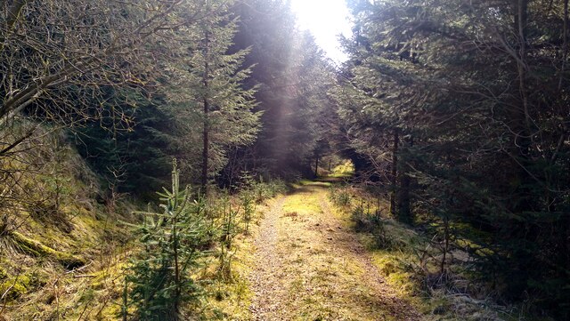
Known for its distinctive dark, heather-covered slopes, Black Hill offers breathtaking panoramic views of the surrounding countryside. Its location within the Galloway Forest Park, which is renowned for its natural beauty and diverse wildlife, adds to its appeal. The hill is a popular destination for outdoor enthusiasts, including hikers, walkers, and nature lovers.

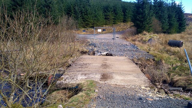
The summit of Black Hill is easily accessible by a well-defined path, making it an attractive option for those seeking a moderate challenge. From the top, visitors can enjoy uninterrupted vistas of rolling hills, moorland, and forests that stretch as far as the eye can see. On clear days, it is even possible to catch a glimpse of the Irish Sea in the distance.

Black Hill is also home to a variety of flora and fauna, including wildflowers, birds of prey, and other small mammals. The hill's natural diversity and tranquil atmosphere provide an ideal habitat for many species, making it a haven for wildlife enthusiasts and photographers.

In conclusion, Black Hill in Ayrshire offers a memorable experience for outdoor enthusiasts, providing stunning views, diverse wildlife, and a peaceful escape from the bustling city life.

If you have any feedback on the listing, please let us know in the comments section below.
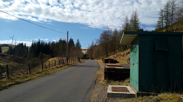
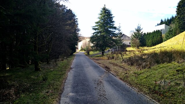
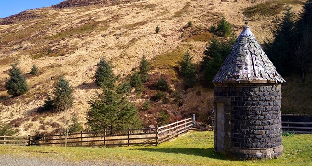
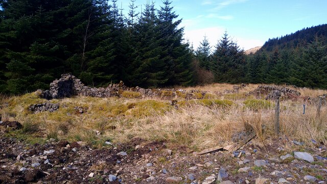
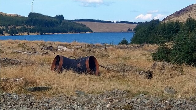
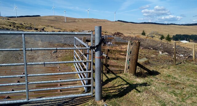
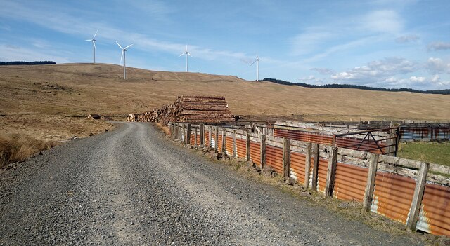
Black Hill Images

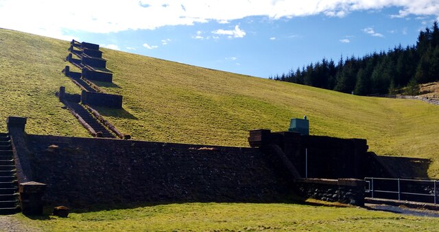
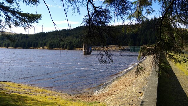
Images are sourced within 2km of 55.31206/-4.1742137 or Grid Reference NS6204. Thanks to Geograph Open Source API. All images are credited.

Wind Farm on Jedburgh Knees Taken from the slopes of Windy Standard.

On a day like this, the wind farm seems to add interest to the monotony of the extensive forestry. Well, almost!
Wind Farm on Jedburgh Knees
Taken from the slopes of Windy Standard. On a day like this, the wind farm seems to add interest to the monotony of the extensive forestry. Well, almost!
The road to the Afton Reservoir and Filter Station The green cabinet is the Afton Regulatory Final Sample Point for the water supply.
The road to the Afton Reservoir and Filter Station
The green cabinet is the Afton Regulatory Final Sample Point for the water supply.
Approaching the Afton Filter Station The extensive buildings are largely hidden by the trees in this view.
Approaching the Afton Filter Station
The extensive buildings are largely hidden by the trees in this view.
Circular water-board building at Afton Reservoir The slopes of Craigbraneoch Rig lie beyond.
Circular water-board building at Afton Reservoir
The slopes of Craigbraneoch Rig lie beyond.
Looking up to Castle William The rocky peak, central, is linked to Sir William Wallace.  See <span class="nowrap"><a title="https://newcumnockhistory.com/place-names/place-names-c/castle-william/" rel="nofollow ugc noopener" href="https://newcumnockhistory.com/place-names/place-names-c/castle-william/">Link</a><img style="margin-left:2px;" alt="External link" title="External link - shift click to open in new window" src="https://s1.geograph.org.uk/img/external.png" width="10" height="10"/></span>
Looking up to Castle William
The rocky peak, central, is linked to Sir William Wallace. See LinkExternal link
The earth dam at the Afton Reservoir Opened in 1935 and currently operated by Scottish Water.
The earth dam at the Afton Reservoir
Opened in 1935 and currently operated by Scottish Water.
Dam face at the Afton Reservoir
Faint path high on the hillside above the Afton Reservoir We had missed the lower, possibly better, path on the east side of the reservoir while walking a complete circuit.  This was tussocky but not too muddy.
Faint path high on the hillside above the Afton Reservoir
We had missed the lower, possibly better, path on the east side of the reservoir while walking a complete circuit. This was tussocky but not too muddy.
Faint path high on the hillside above the Afton Reservoir We had missed the lower, possibly better, path on the east side of the reservoir while walking a complete circuit. This was tussocky but not too muddy.
Faint path high on the hillside above the Afton Reservoir
We had missed the lower, possibly better, path on the east side of the reservoir while walking a complete circuit. This was tussocky but not too muddy.
Exit from the forest We had missed this lower, possibly better, path on the east side of the reservoir while walking a complete circuit. The high path was tussocky but not too muddy.
Exit from the forest
We had missed this lower, possibly better, path on the east side of the reservoir while walking a complete circuit. The high path was tussocky but not too muddy.
Sunlight on the path through the forest
Bridge over the Montraw Burn Fenced off to vehicles but passable on foot.
Bridge over the Montraw Burn
Fenced off to vehicles but passable on foot.
The ruins of Monthraw Cottage
The head of Afton Reservoir What looks like some water-board large piping left lying around.
The head of Afton Reservoir
What looks like some water-board large piping left lying around.
Track in the Afton Wind Farm Completed in 2018, this wind farm has 25 Siemens 2MW turbines.
Track in the Afton Wind Farm
Completed in 2018, this wind farm has 25 Siemens 2MW turbines.
Sheepfolds and timber stacks by a track in the Afton Wind Farm
Glenlee The ruin Glenlee on the northern bank of the Water of Deugh is a useful landmark for those navigating their way through a confusing maze of firebreaks.
Glenlee
The ruin Glenlee on the northern bank of the Water of Deugh is a useful landmark for those navigating their way through a confusing maze of firebreaks.
Show me another place!

Black Hill is located at Grid Ref: NS6204 (Lat: 55.31206, Lng: -4.1742137)

Unitary Authority: East Ayrshire

Police Authority: Ayrshire

What 3 Words

///vets.happy.hardening. Near New Cumnock, East Ayrshire

Nearby Locations

Black Hill

Related Wikis

Windy Standard

Windy Standard is a hill in the Carsphairn and Scaur Hills range, part of the Southern Uplands of Scotland. It lies in Dumfries and Galloway, south of...

Blackcraig Hill

Blackcraig Hill is a hill in the Carsphairn and Scaur Hills range, part of the Southern Uplands of Scotland. It lies southeast of the town of New Cumnock...

Cairnsmore of Carsphairn

Cairnsmore of Carsphairn is a hill in the Carsphairn and Scaur Hills range, part of the Southern Uplands of Scotland. An alternative name, rarely used...

Knockshinnoch disaster

The Knockshinnoch disaster was a mining accident that occurred in September 1950 in the village of New Cumnock, Ayrshire, Scotland. A glaciated lake filled...

Nearby Amenities

Located within 500m of 55.31206,-4.1742137
Generator Method: wind_turbine
Generator Output Electricity: 2.75 MW
Generator Source: wind
Generator Type: horizontal_axis
Height: 120
Power: generator
Lat/Long: 55.3136637/-4.1779693
Generator Method: wind_turbine
Generator Output Electricity: 2.75 MW
Generator Source: wind
Generator Type: horizontal_axis
Height: 120
Power: generator
Lat/Long: 55.3149825/-4.171253
Generator Method: wind_turbine
Generator Output Electricity: 2.75 MW
Generator Source: wind
Generator Type: horizontal_axis
Height: 120
Power: generator
Lat/Long: 55.3103432/-4.1704411
Generator Method: wind_turbine
Generator Output Electricity: 2.75 MW
Generator Source: wind
Generator Type: horizontal_axis
Height: 120
Power: generator
Lat/Long: 55.3122594/-4.1734202
Power: tower
Lat/Long: 55.308501/-4.1698909
Power: tower
Lat/Long: 55.3083789/-4.1721976
Power: tower
Lat/Long: 55.3092093/-4.1748637
Power: tower
Lat/Long: 55.3100703/-4.1777229
Power: tower
Lat/Long: 55.3108885/-4.1803032
Power: pole
Lat/Long: 55.3147977/-4.168295
Power: pole
Lat/Long: 55.3141215/-4.1687214
Power: pole
Lat/Long: 55.313427/-4.1691667
Power: pole
Lat/Long: 55.3121921/-4.1699901
Power: pole
Lat/Long: 55.311432/-4.1704971
Power: pole
Lat/Long: 55.3107145/-4.170996
Power: pole
Lat/Long: 55.3106428/-4.1718596
The data included in this document is from www.openstreetmap.org. The data is made available under ODbL.

Have you been to Black Hill?

Leave your review of Black Hill below (or comments, questions and feedback).