Peal Hill
Hill, Mountain in Kirkcudbrightshire
Scotland
Peal Hill
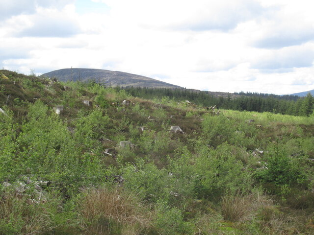
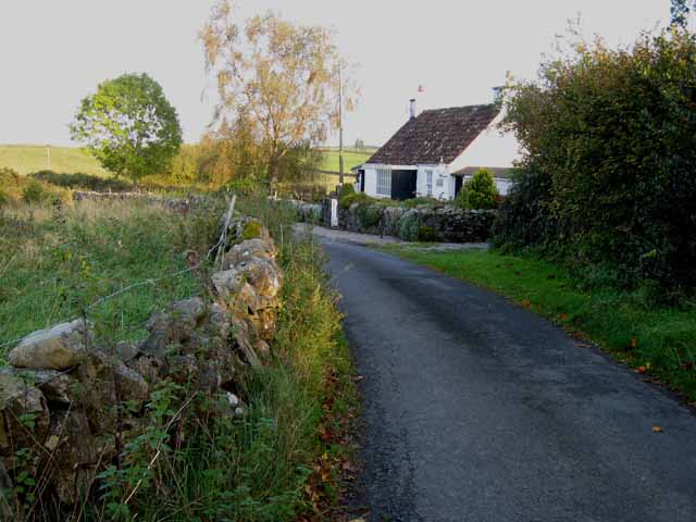
Peal Hill is a prominent hill located in the historical county of Kirkcudbrightshire, in the southwest of Scotland. Rising to a height of approximately 247 meters (810 feet), it forms part of the Galloway Hills range. Situated near the coastal town of Kirkcudbright, Peal Hill offers stunning panoramic views of the surrounding landscape.
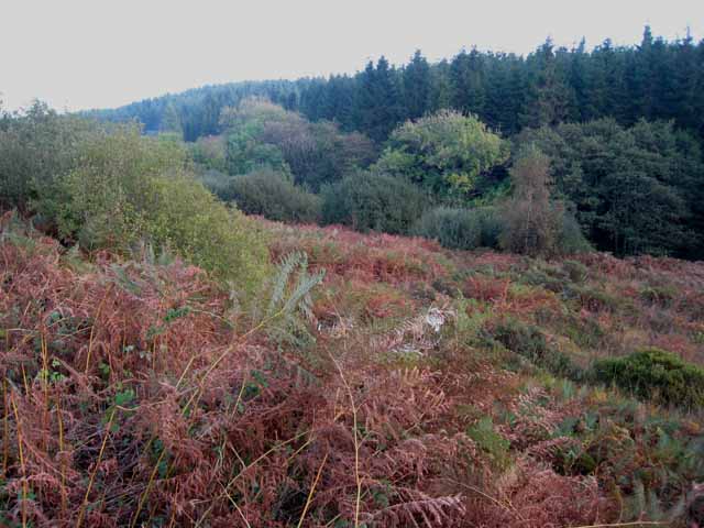
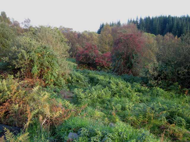
The hill itself is characterized by its gentle slopes and lush green vegetation, which predominantly consists of heather and grasses. Its summit is broad and relatively flat, making it an accessible and popular destination for hikers and nature enthusiasts. From the top, visitors can enjoy breathtaking vistas of the town of Kirkcudbright, the Solway Firth, and even glimpses of the distant Lake District in England on clear days.
Peal Hill is known for its rich biodiversity, providing a habitat for various wildlife species. Birdwatchers can spot a variety of birds, including peregrine falcons, golden eagles, and red kites, soaring above the hill. The surrounding areas are also home to a range of flora and fauna, such as wildflowers, rabbits, and deer.
For those interested in local history, Peal Hill holds significance as it was once a site of a hill fort dating back to the Iron Age. The remnants of this ancient fortification can still be seen today, adding an element of historical intrigue to the hill.
Overall, Peal Hill offers visitors an opportunity to immerse themselves in the natural beauty of Kirkcudbrightshire, with its picturesque landscapes, diverse wildlife, and a touch of ancient history.
If you have any feedback on the listing, please let us know in the comments section below.
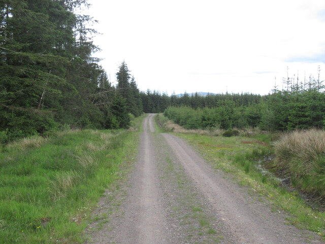
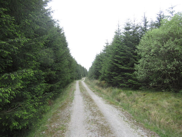
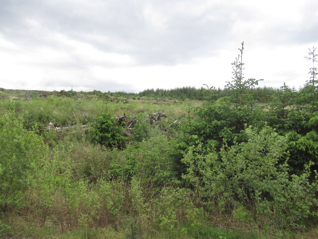
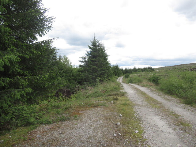
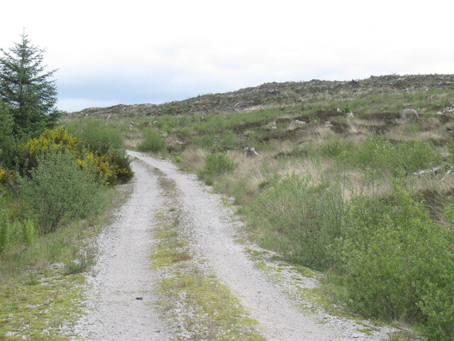
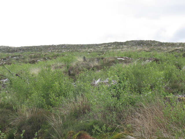
Peal Hill Images
Images are sourced within 2km of 55.062894/-4.1730516 or Grid Reference NX6176. Thanks to Geograph Open Source API. All images are credited.


Peal Hill is located at Grid Ref: NX6176 (Lat: 55.062894, Lng: -4.1730516)
Unitary Authority: Dumfries and Galloway
Police Authority: Dumfries and Galloway
What 3 Words
///obstruct.couriers.cactus. Near Castle Douglas, Dumfries & Galloway
Nearby Locations
Related Wikis

Water of Ken
The Water of Ken is a river in the historical county of Kirkcudbrightshire in Galloway, south-west Scotland.It rises on Blacklorg Hill, north-east of Cairnsmore...

Kenmure Castle
Kenmure Castle is a fortified house or castle in The Glenkens, 1 mile (1.6 km) south of the town of New Galloway in Kirkcudbrightshire, Galloway, south...

New Galloway Town Hall
The New Galloway Town Hall is a municipal building in Dumfries and Galloway, Scotland, situated on the town's high street. A tolbooth has existed on the...

New Galloway
New Galloway (Scottish Gaelic: Gall-Ghàidhealaibh Nuadh) is a town in the historical county of Kirkcudbrightshire in Dumfries and Galloway. It lies on...
Have you been to Peal Hill?
Leave your review of Peal Hill below (or comments, questions and feedback).