Foel Caethle
Hill, Mountain in Merionethshire
Wales
Foel Caethle
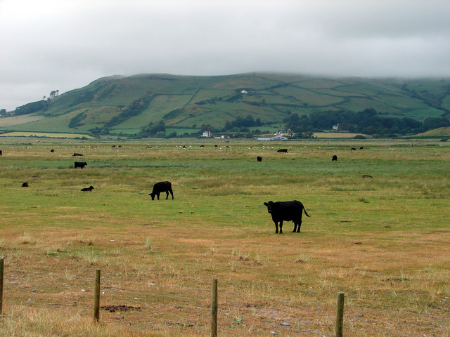
Foel Caethle is a prominent hill located in Merionethshire, Wales. Standing at an elevation of 586 meters (1,923 feet), it is a well-known landmark that offers breathtaking panoramic views of the surrounding area.
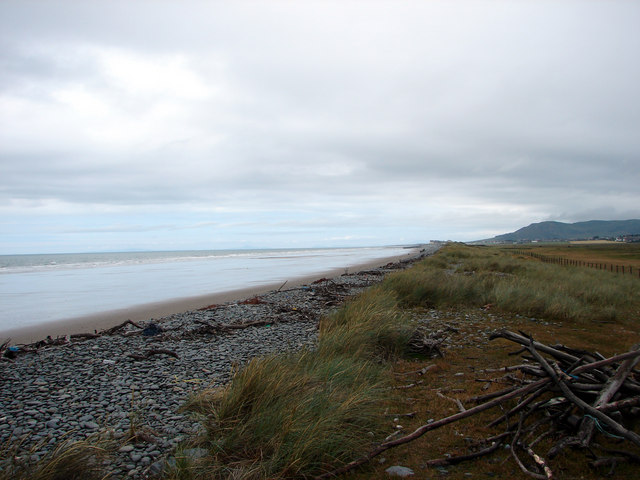
The hill is situated within the southern part of Snowdonia National Park, which is renowned for its picturesque landscapes and diverse wildlife. Foel Caethle is located to the west of the popular tourist destination of Dolgellau and lies between the valleys of Mawddach and Eden.
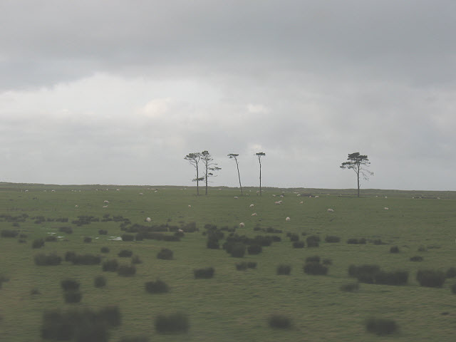
The terrain of Foel Caethle is characterized by gentle slopes and grassy meadows, making it a relatively easy and enjoyable climb for hikers and nature enthusiasts. As visitors ascend the hill, they are treated to mesmerizing vistas of the nearby Snowdonia peaks, including Cadair Idris and the Rhinogydd range. On clear days, it is even possible to see the Irish Sea sparkling in the distance.
The hill is also home to a variety of flora and fauna, with heather, gorse, and mosses covering the lower slopes. Birdwatchers can spot a range of species, such as buzzards, kestrels, and peregrine falcons, soaring gracefully overhead.
Foel Caethle offers a tranquil and serene setting for visitors to immerse themselves in the beauty of the Welsh countryside. Whether it is for a leisurely walk, a challenging hike, or simply to enjoy the stunning views, this hill is a must-visit destination for nature lovers and outdoor enthusiasts alike.
If you have any feedback on the listing, please let us know in the comments section below.
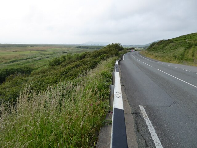
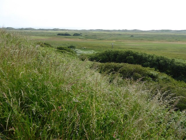
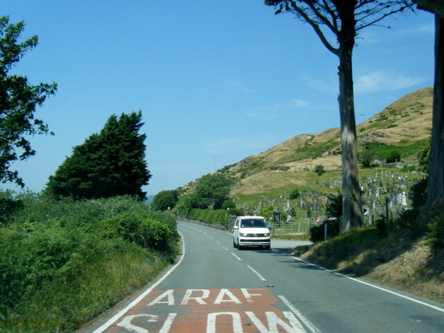
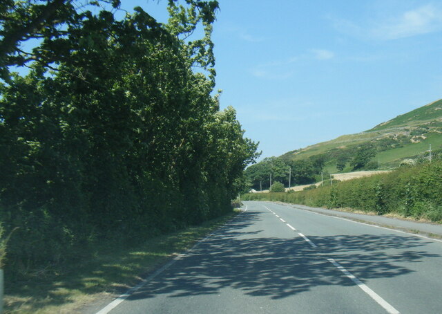
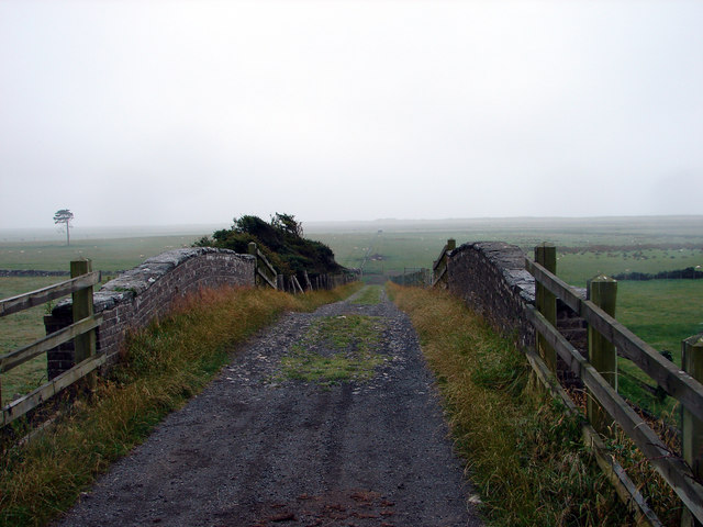
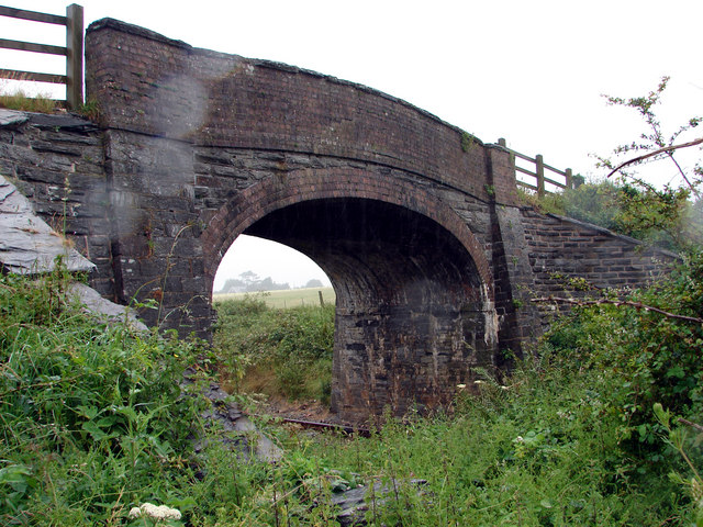
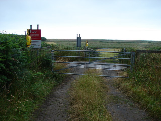
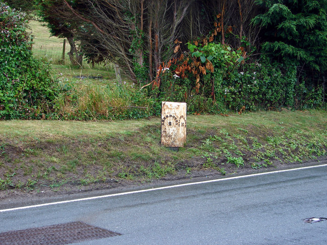
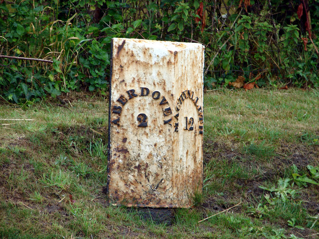
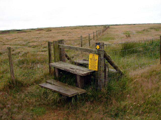
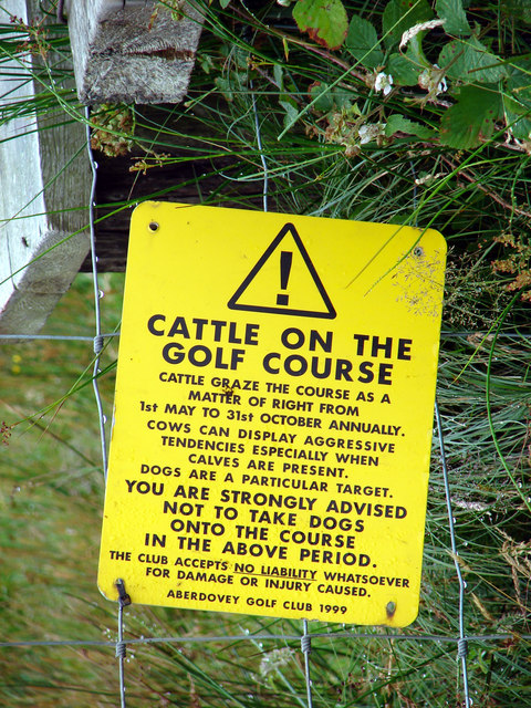
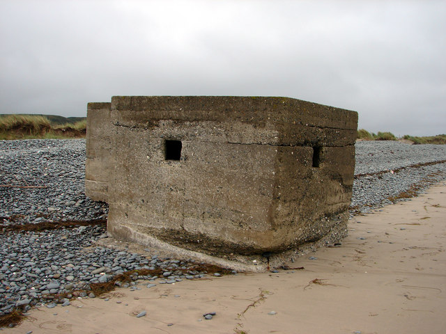
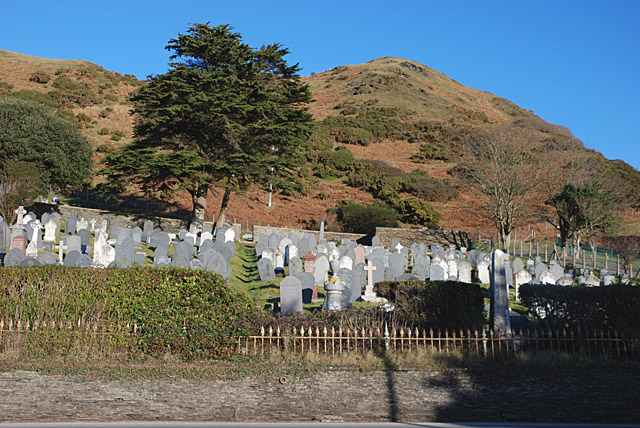
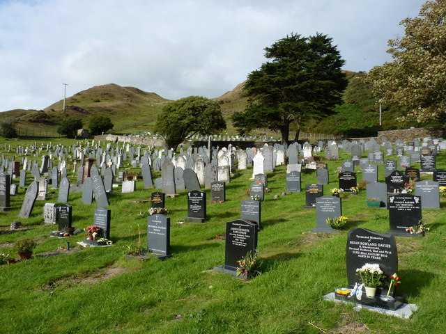
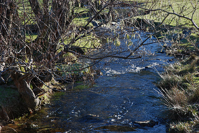
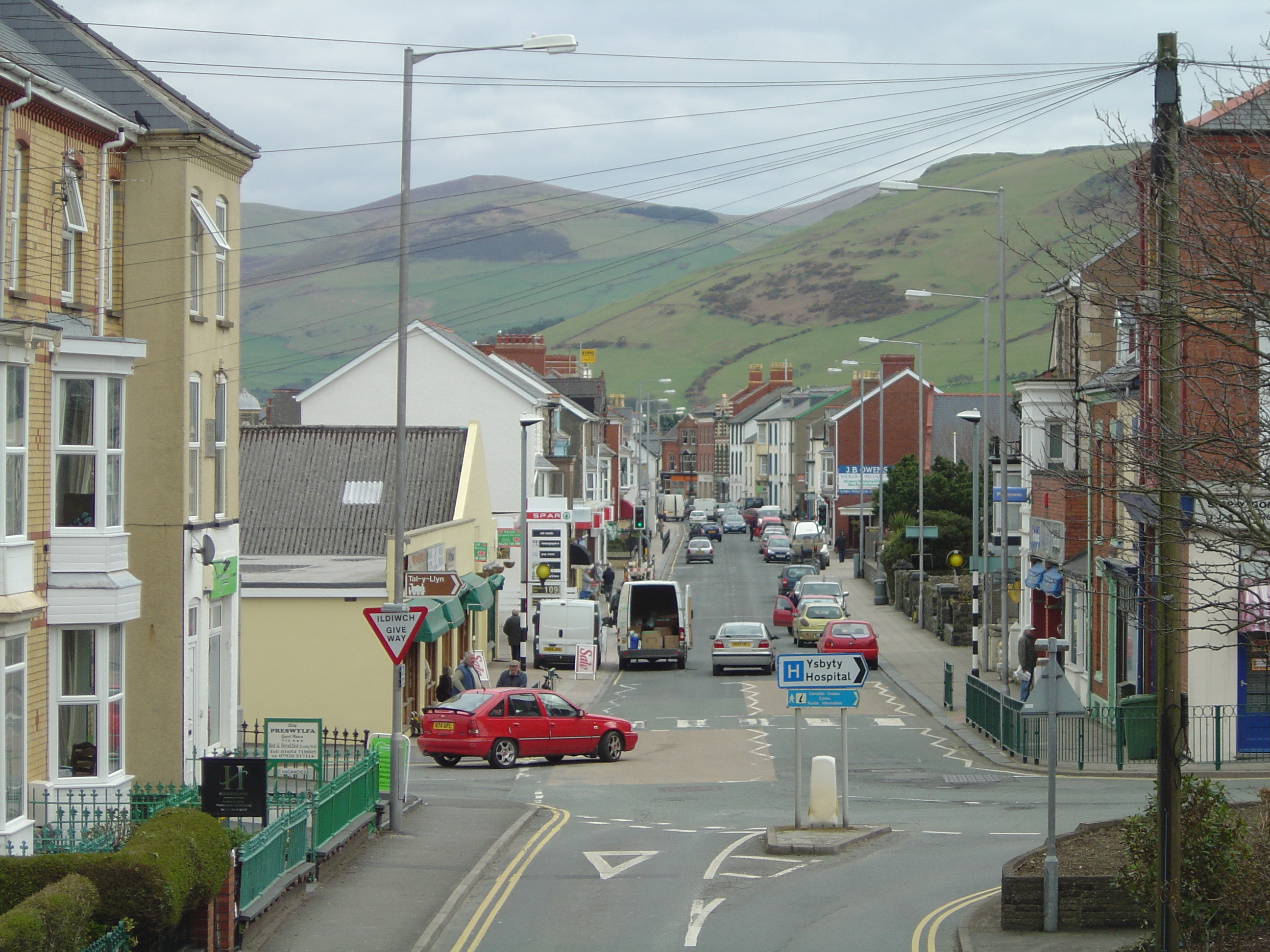
Foel Caethle Images
Images are sourced within 2km of 52.568114/-4.0576371 or Grid Reference SN6098. Thanks to Geograph Open Source API. All images are credited.
Foel Caethle is located at Grid Ref: SN6098 (Lat: 52.568114, Lng: -4.0576371)
Unitary Authority: Gwynedd
Police Authority: North Wales
What 3 Words
///searched.spelling.beaks. Near Tywyn, Gwynedd
Nearby Locations
Related Wikis

Tywyn Hospital
Tywyn Hospital (Welsh: Ysbyty Tywyn) is a health facility in Tywyn, Gwynedd, Wales. It is managed by the Betsi Cadwaladr University Health Board. ��2...
Afon Dyffryn Gwyn
Afon Dyffryn Gwyn is a river in Gwynedd, north-west Wales. Its source is on Trum Gelli above Cwm Maethlon (also known as Dyffryn Gwyn and Happy Valley...

Bala Fault
The Bala Fault is a SW-NE trending geological fault in Wales that extends offshore into Cardigan Bay. In the offshore area it is a major normal fault and...

Hen Dyffryn Gwyn
Hen Dyffryn Gwyn is a Grade II* listed building in Tywyn, Gwynedd. The house has been dated to 1640 and is listed for being a well-preserved example of...
Tywyn
Tywyn (Welsh: [ˈtəu̯ɨn]; in English often ), formerly spelled Towyn, is a town, community, and seaside resort on the Cardigan Bay coast of southern Gwynedd...

Aberdovey railway station
Aberdovey railway station (Welsh: Aberdyfi) serves the seaside resort of Aberdyfi in Gwynedd, Wales. The station is on the Cambrian Coast Railway with...

Pendre railway station
Pendre railway station (also known as Tywyn Pendre railway station, or formerly as Towyn Pendre railway station) is a station on the Talyllyn Railway in...
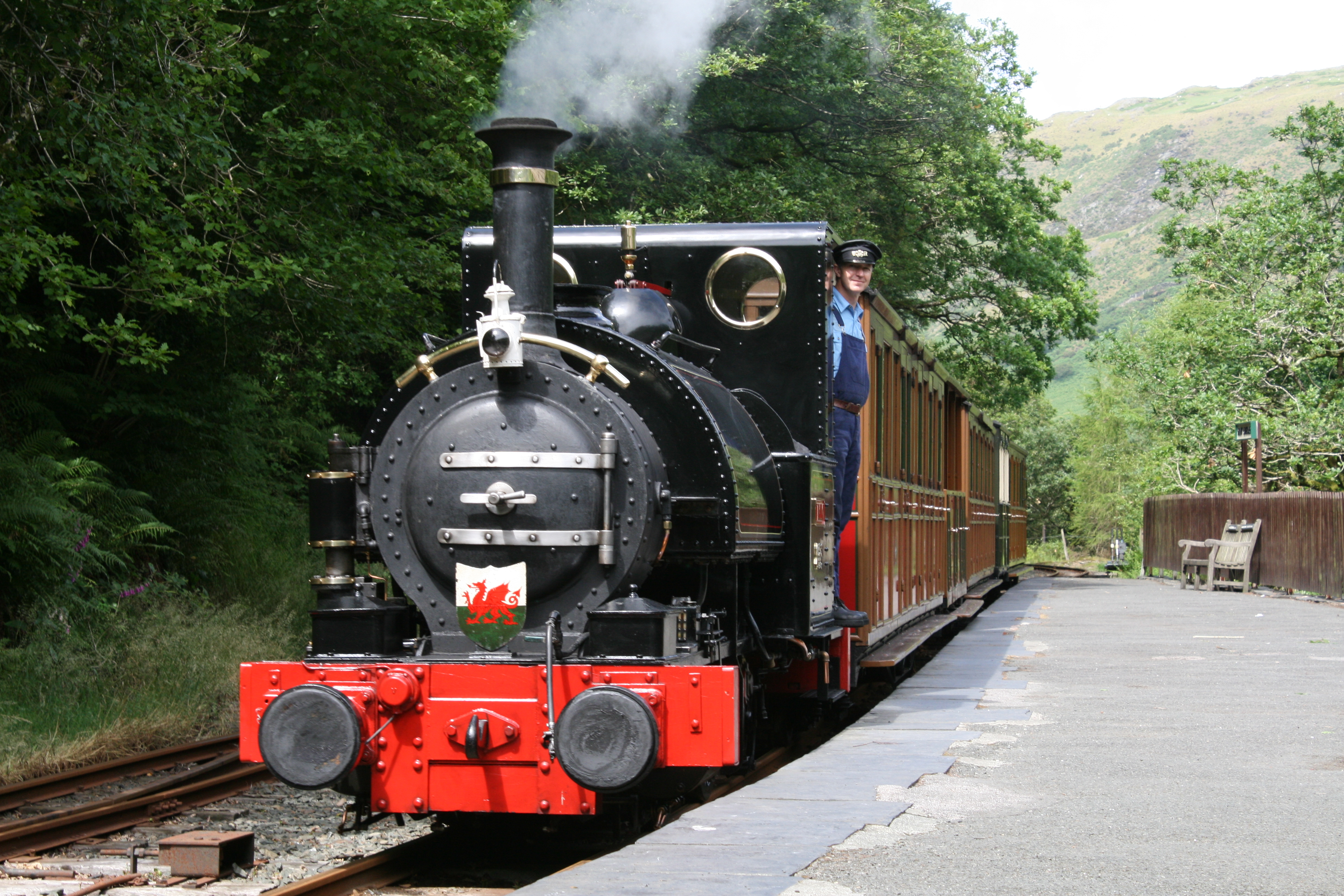
Talyllyn Railway
The Talyllyn Railway (Welsh: Rheilffordd Talyllyn) is a narrow gauge preserved railway in Wales running for 7+1⁄4 miles (12 km) from Tywyn on the Mid-Wales...
Nearby Amenities
Located within 500m of 52.568114,-4.0576371Have you been to Foel Caethle?
Leave your review of Foel Caethle below (or comments, questions and feedback).