Craigs Hill
Hill, Mountain in Ayrshire
Scotland
Craigs Hill

Craigs Hill, located in Ayrshire, Scotland, is a prominent geographical feature that stands out as a hill in the region. Rising to an elevation of approximately 300 meters (984 feet), it offers stunning panoramic views of the surrounding landscape. The hill is situated near the town of Ayr and is easily accessible by road.
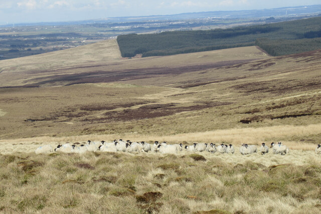
Craigs Hill is characterized by its rugged terrain and is predominantly covered in heather, grasses, and shrubs. Its slopes are moderately steep, providing a challenging but enjoyable climb for outdoor enthusiasts. The hill is a popular destination for hikers, walkers, and nature lovers, who are attracted by its natural beauty and tranquility.
From the summit of Craigs Hill, visitors are treated to breathtaking vistas of the Ayrshire countryside. On a clear day, one can see the rolling hills and farmland stretching out in all directions. Additionally, the hill offers glimpses of nearby landmarks such as Ailsa Craig, an uninhabited island known for its birdlife and distinctive rock formations, located in the Firth of Clyde.
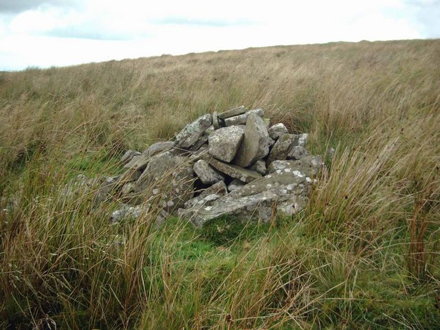
Craigs Hill also holds historical significance, as it is believed to have been used as a vantage point during various conflicts and battles in the region's past. The hill's strategic location made it an ideal spot for observation and defense.
Overall, Craigs Hill in Ayrshire is a picturesque and significant natural feature that attracts both locals and tourists alike with its stunning views, challenging terrain, and historical importance.
If you have any feedback on the listing, please let us know in the comments section below.
Craigs Hill Images
Images are sourced within 2km of 55.546877/-4.2142869 or Grid Reference NS6030. Thanks to Geograph Open Source API. All images are credited.


Craigs Hill is located at Grid Ref: NS6030 (Lat: 55.546877, Lng: -4.2142869)
Unitary Authority: East Ayrshire
Police Authority: Ayrshire
What 3 Words
///shoving.inspects.shackles. Near Darvel, East Ayrshire
Nearby Locations
Related Wikis

Garpel Linn
Garpel Linn is a waterfall of Scotland. == See also == Waterfalls of Scotland == References ==

Greenock Water
Greenock Water is a river in East Ayrshire, Scotland. It flows out of the Dippal Burn, about 2 miles south of Dungavel Hill. A tributary of the River Ayr...
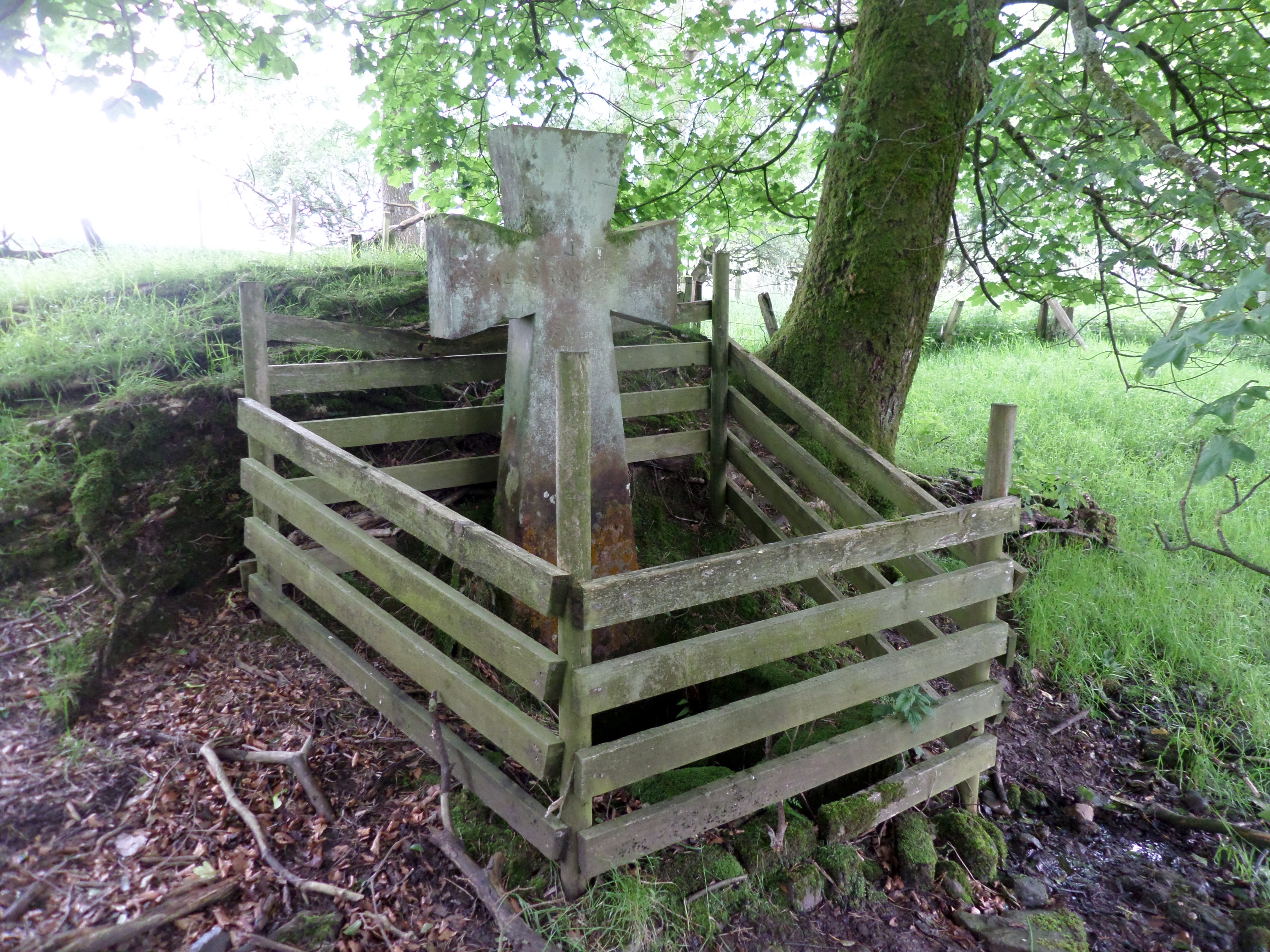
Lady's Well, Auchmannoch
The Lady's Well is a natural spring surmounted by a large cross that stands beside the Stra Burn Ford (NS254630) near Auchmannoch House in the Parish of...
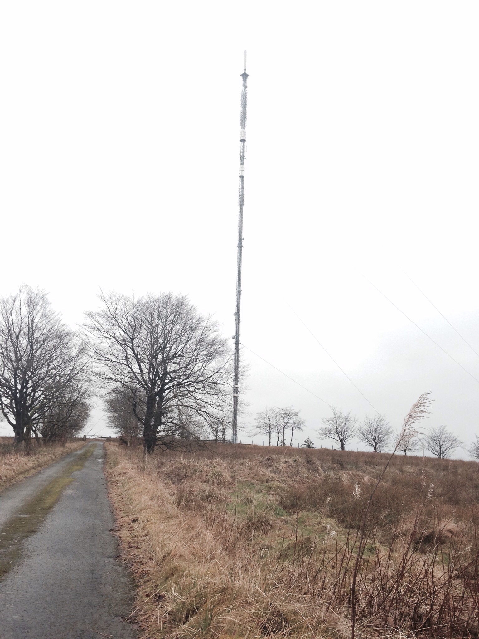
Darvel transmitting station
Darvel transmitting station is a broadcasting and telecommunications facility located near Darvel, East Ayrshire, Scotland (grid reference NS5567234132...
Nearby Amenities
Located within 500m of 55.546877,-4.2142869Have you been to Craigs Hill?
Leave your review of Craigs Hill below (or comments, questions and feedback).