Creag a' Ghrianain
Hill, Mountain in Inverness-shire
Scotland
Creag a' Ghrianain

The requested URL returned error: 429 Too Many Requests
If you have any feedback on the listing, please let us know in the comments section below.
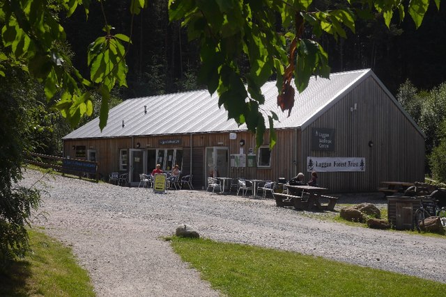
Creag a' Ghrianain Images
Images are sourced within 2km of 56.989688/-4.300547 or Grid Reference NN6091. Thanks to Geograph Open Source API. All images are credited.


Creag a' Ghrianain is located at Grid Ref: NN6091 (Lat: 56.989688, Lng: -4.300547)
Unitary Authority: Highland
Police Authority: Highlands and Islands
What 3 Words
///irrigate.silently.revisit. Near Newtonmore, Highland
Nearby Locations
Related Wikis

Dùn dà Làmh
Dùn dà Làmh is a Pictish now ruined hill fort near Laggan in the Scottish Highlands. It became a scheduled monument in 1986, with an extension to the protected...

Laggan, Badenoch
Laggan (Gaelic: Lagan ) is a village in Badenoch, in the Highland region of Scotland. It is beside the River Spey, about 10 km west of Newtonmore. The...

Catlodge
Catlodge (Scottish Gaelic: Caitleag) is a hamlet, in the district of Newtonmore in Inverness-shire, Scottish Highlands and is in the Scottish council...

Falls of Pattack
Falls of Pattack is a waterfall in the Scottish Highlands' Cairngorm National Park. The falls are on the River Pattack, about 2 km south of the A86 road...
Have you been to Creag a' Ghrianain?
Leave your review of Creag a' Ghrianain below (or comments, questions and feedback).