Cnoc na Moine
Hill, Mountain in Ross-shire
Scotland
Cnoc na Moine

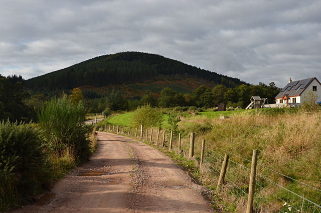
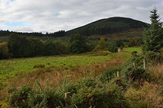
Cnoc na Moine is a prominent hill located in Ross-shire, Scotland. It is situated near the village of Muir of Ord and is part of the larger mountainous area known as the Scottish Highlands. Standing at an elevation of approximately 388 meters (1,273 feet), it offers stunning panoramic views of the surrounding landscape.
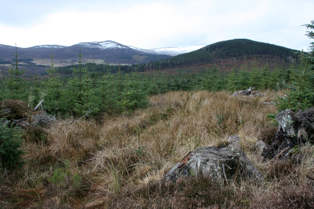
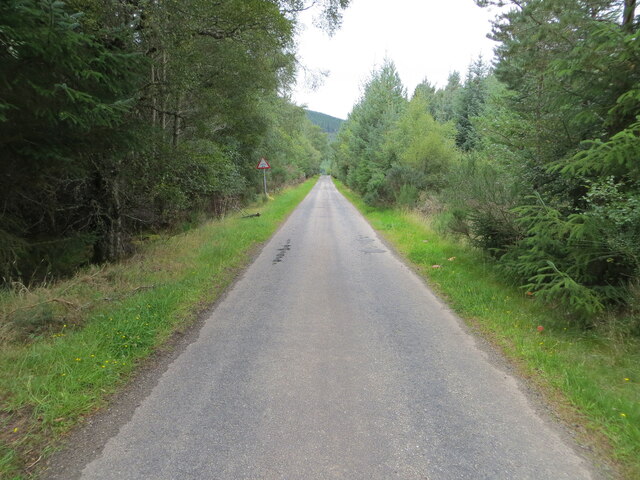
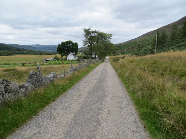
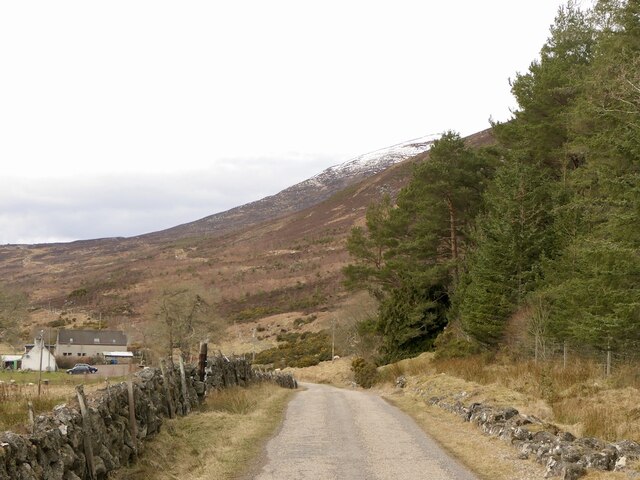
The hill is characterized by its gentle slopes and grassy terrain, making it a popular destination for hikers and nature enthusiasts. It is easily accessible by a well-maintained footpath that winds its way to the summit, allowing visitors to enjoy a leisurely hike while taking in the breathtaking scenery.
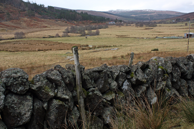
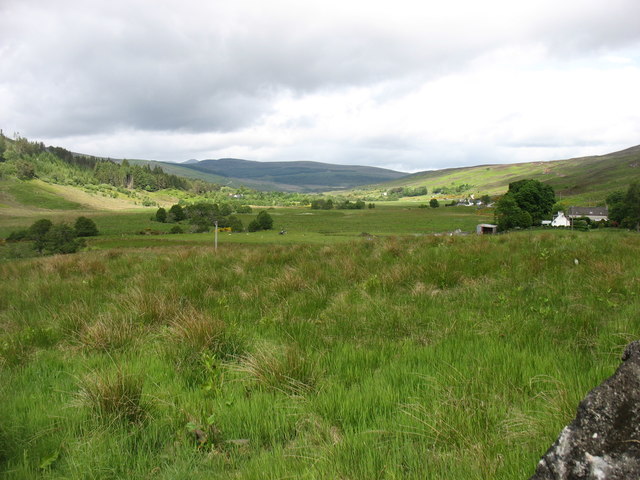
The summit of Cnoc na Moine provides an excellent vantage point, offering uninterrupted views of the surrounding countryside, including the picturesque village of Muir of Ord, the Black Isle, and the distant peaks of the Scottish Highlands. On a clear day, it is even possible to see the waters of the Moray Firth shimmering in the distance.
Wildlife is abundant in the area, with a variety of bird species, including red kites and buzzards, frequently spotted soaring above the hill. The hillside is also home to a diverse range of plant life, with heather, bracken, and wildflowers adding bursts of color to the landscape during the warmer months.
Overall, Cnoc na Moine offers visitors a chance to immerse themselves in the natural beauty of the Scottish Highlands, with its stunning views, diverse wildlife, and tranquil atmosphere. Whether it is for a peaceful hike or simply to enjoy the serenity of the surroundings, this hill is a must-visit destination for nature lovers in Ross-shire.
If you have any feedback on the listing, please let us know in the comments section below.
Cnoc na Moine Images
Images are sourced within 2km of 57.751104/-4.3512738 or Grid Reference NH6075. Thanks to Geograph Open Source API. All images are credited.


Cnoc na Moine is located at Grid Ref: NH6075 (Lat: 57.751104, Lng: -4.3512738)
Unitary Authority: Highland
Police Authority: Highlands and Islands
What 3 Words
///televise.labels.shifts. Near Alness, Highland
Nearby Locations
Related Wikis

Ardross, Highland
Ardross (Scottish Gaelic: Àird Rois, high-point of [Easter] Ross) is a rural area in the Highland region of Scotland, 30 miles (48 km) north of the nearest...

Strathrusdale
Strathrusdale (Brittonic or Scottish Gaelic/Old Norse Hybrid: Strath Rùsdail, Strath, [Brittonic/Gaelic] small valley, of Rusdale, rus, Norse for [male...
Strathy, Ardross
Strathy (Scottish Gaelic: An t-Srathaidh, "small strath") is a strath in the Highlands of Scotland, forming the Northern part of the area known as Ardross...

B9176 road
The B9176 also known as the "Struie" is a 15-mile-long (24 km) road from Alness to Bonar Bridge. in the Scottish Highlands. This road is the main road...

Achandunie
Achandunie (Scottish Gaelic: Achadh an Dùnaidh) is a village north of Alness in Ross-shire in the Scottish council area of the Highland. The village lies...
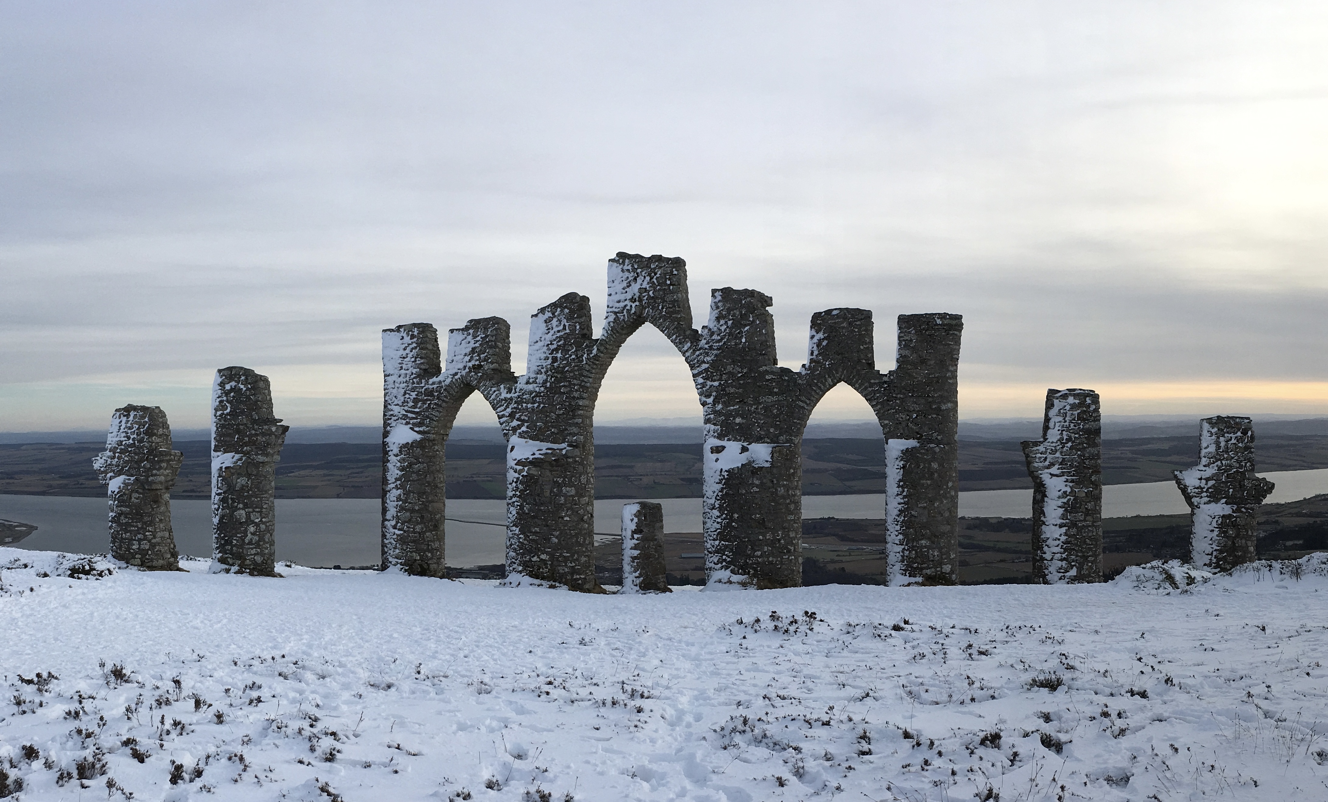
Fyrish Monument
The Fyrish Monument is a monument built in 1782 on Fyrish Hill (Scottish Gaelic: Cnoc Fhaoighris), in Fyrish in Evanton, near Alness, Easter Ross, Scotland...
Contullich Castle
Contullich Castle was a castle located a few miles north-west of the town of Alness, on the eastern side of the county of Ross-shire, Scotland. The castle...

Loch Achnacloich
Loch Achnacloich is a very shallow loch located about 4 kilometres (2.5 mi) north of Alness in Ross and Cromarty, Scottish Highlands, Scotland. == Geography... ==
Have you been to Cnoc na Moine?
Leave your review of Cnoc na Moine below (or comments, questions and feedback).