Auchincally Hill
Hill, Mountain in Ayrshire
Scotland
Auchincally Hill
Auchincally Hill is a prominent hill located in Ayrshire, Scotland. Situated near the town of Dalrymple, it is part of the Southern Uplands, a range of hills that stretches from the Scottish Borders to the southwest coast.
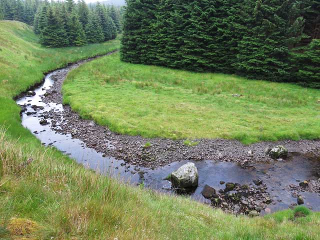
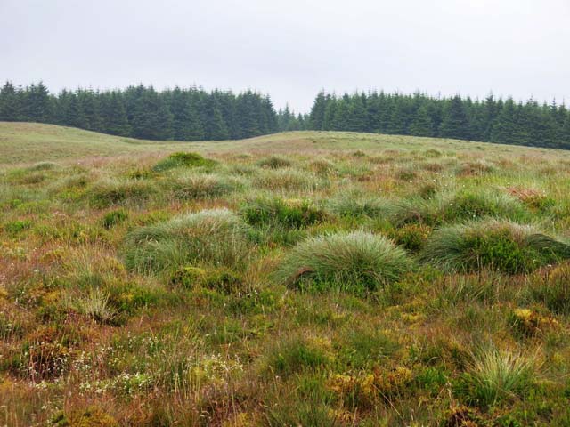
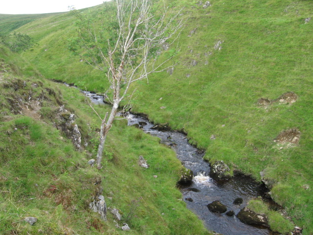
Rising to a height of approximately 290 meters (950 feet), Auchincally Hill offers stunning panoramic views of the surrounding countryside. The hill is characterized by its gently sloping sides, covered in a mix of grass, heather, and scattered trees. The summit is relatively flat, allowing visitors to easily explore and soak in the picturesque scenery.
Auchincally Hill is a popular destination for outdoor enthusiasts, offering a range of recreational activities. Hiking and hillwalking are particularly popular, with several well-marked trails leading to the summit. The hill's relatively moderate height makes it accessible to hikers of various skill levels, providing a satisfying challenge without being overly strenuous.
Flora and fauna are abundant on Auchincally Hill, with a diverse range of plant species and wildlife found in the area. The hill is home to various bird species, including buzzards and kestrels, which can often be spotted soaring above. The surrounding woodlands provide habitat for small mammals such as squirrels and foxes.
Overall, Auchincally Hill offers visitors a chance to experience the natural beauty of Ayrshire's landscape. Its accessible trails, stunning views, and rich biodiversity make it a must-visit destination for nature lovers and outdoor enthusiasts alike.
If you have any feedback on the listing, please let us know in the comments section below.
Auchincally Hill Images
Images are sourced within 2km of 55.334211/-4.206032 or Grid Reference NS6006. Thanks to Geograph Open Source API. All images are credited.


Auchincally Hill is located at Grid Ref: NS6006 (Lat: 55.334211, Lng: -4.206032)
Unitary Authority: East Ayrshire
Police Authority: Ayrshire
What 3 Words
///premiums.browsers.reclaimed. Near New Cumnock, East Ayrshire
Nearby Locations
Related Wikis

Blackcraig Hill
Blackcraig Hill is a hill in the Carsphairn and Scaur Hills range, part of the Southern Uplands of Scotland. It lies southeast of the town of New Cumnock...

Windy Standard
Windy Standard is a hill in the Carsphairn and Scaur Hills range, part of the Southern Uplands of Scotland. It lies in Dumfries and Galloway, south of...

Knockshinnoch disaster
The Knockshinnoch disaster was a mining accident that occurred in September 1950 in the village of New Cumnock, Ayrshire, Scotland. A glaciated lake filled...

New Cumnock Town Hall
New Cumnock Town Hall is a municipal building in Castle, New Cumnock, East Ayrshire, Scotland. The structure, which is used as a community events venue...
Nearby Amenities
Located within 500m of 55.334211,-4.206032Have you been to Auchincally Hill?
Leave your review of Auchincally Hill below (or comments, questions and feedback).