East Mill Tor
Hill, Mountain in Devon West Devon
England
East Mill Tor
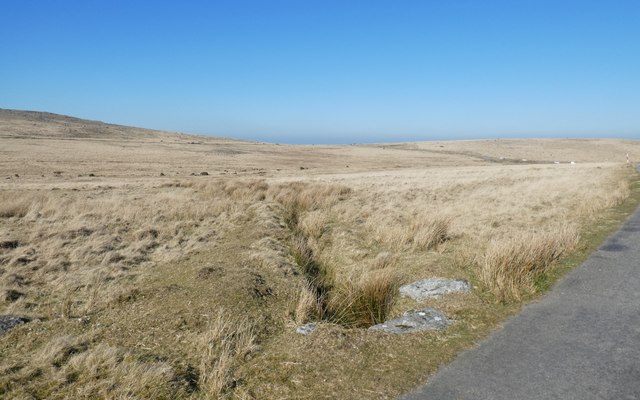
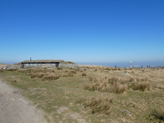
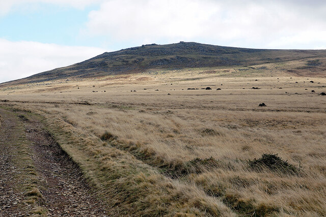
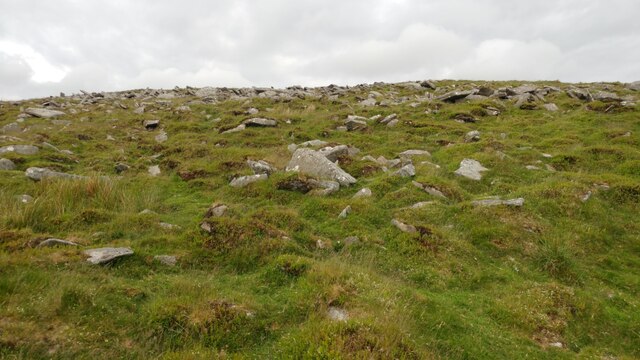
East Mill Tor is a prominent hill located in Devon, England. It is part of the Dartmoor National Park and offers stunning views of the surrounding countryside. The tor is characterized by its rocky outcrops and rugged terrain, making it a popular destination for hikers and outdoor enthusiasts.
Standing at an elevation of approximately 415 meters (1,362 feet), East Mill Tor is one of the higher points in the area, providing panoramic views of the rolling hills and moorland below. The tor is easily accessible via footpaths and trails, making it a great spot for a leisurely hike or a more challenging trek.
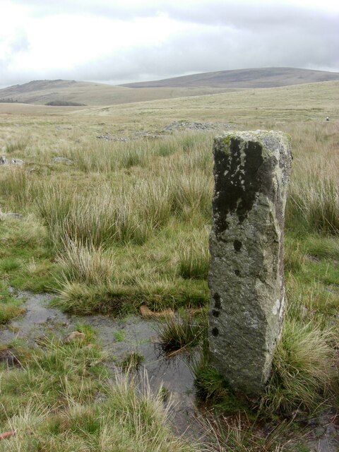
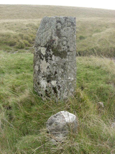
The landscape around East Mill Tor is dotted with ancient archaeological sites, including prehistoric settlements and burial mounds, adding to the area's historical significance. Wildlife is abundant in the area, with a variety of bird species and mammals calling the tor home.
Overall, East Mill Tor is a picturesque and tranquil spot to explore, offering a glimpse into the natural beauty and rich history of Devon's countryside.
If you have any feedback on the listing, please let us know in the comments section below.
East Mill Tor Images
Images are sourced within 2km of 50.691677/-3.9843908 or Grid Reference SX5989. Thanks to Geograph Open Source API. All images are credited.


East Mill Tor is located at Grid Ref: SX5989 (Lat: 50.691677, Lng: -3.9843908)
Administrative County: Devon
District: West Devon
Police Authority: Devon and Cornwall
What 3 Words
///profiled.warthog.fall. Near Okehampton, Devon
Nearby Locations
Related Wikis
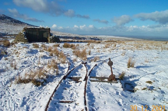
Rowtor Target Railway
The Rowtor Target Railway was a military narrow gauge target railway south of Okehampton in Dartmoor, England with a gauge of 24 inches (610 mm). ��2...

Yes Tor
Yes Tor is the second highest point on Dartmoor, Devon, South West England, at 619 metres (2,031 ft) above sea level. It is one of only two wholly English...

High Willhays
High Willhays ( WIL-eez, WIL-hayz), or according to some authorities High Willes, is the highest point on Dartmoor, Devon, at 621 metres (2,039 feet) above...

Nine Maidens stone circle
The Nine Maidens, also known as the Seventeen Brothers, is a Bronze Age stone circle located near the village of Belstone on Dartmoor in Devon, England...
Nearby Amenities
Located within 500m of 50.691677,-3.9843908Have you been to East Mill Tor?
Leave your review of East Mill Tor below (or comments, questions and feedback).