Ball Hill
Hill, Mountain in Devon West Devon
England
Ball Hill

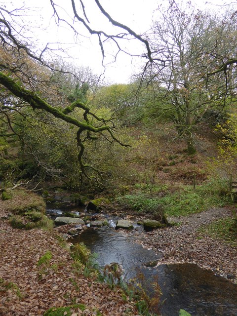
Ball Hill is a prominent hill located in Devon, a county in Southwest England. It is situated in the Dartmoor National Park, near the village of Chagford. With an elevation of 410 meters (1,345 feet), Ball Hill is classified as a hill rather than a mountain.
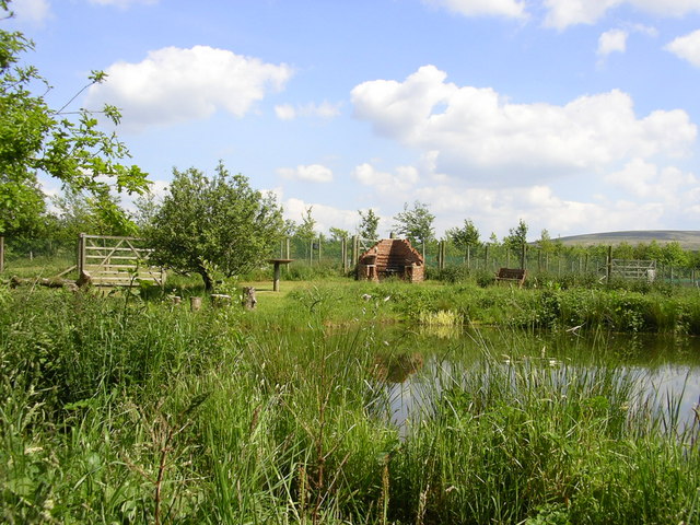
The hill offers breathtaking panoramic views of the surrounding countryside, including the rolling hills of Dartmoor and the Teign Valley. It is a popular destination for hikers, nature enthusiasts, and photographers due to its stunning vistas and diverse flora and fauna.
Ball Hill is characterized by its rugged terrain, which features granite outcrops and patches of heather and grassland. The hill is part of a larger network of tors (rocky outcrops) that are scattered across Dartmoor National Park. These tors add to the unique beauty of the landscape and provide opportunities for rock climbing and bouldering.
The area surrounding Ball Hill is rich in archaeological sites, including prehistoric settlements and stone circles, evidence of human habitation in the region dating back thousands of years. Walking trails and footpaths crisscross the hill, allowing visitors to explore the area while taking in its historical significance.
Despite its relatively modest height, Ball Hill offers a challenging climb due to its steep slopes and uneven terrain. Its remote location and lack of facilities make it an ideal spot for those seeking solitude and a sense of wilderness.
In summary, Ball Hill in Devon is a captivating hill within Dartmoor National Park, known for its stunning views, unique geological formations, and rich historical heritage.
If you have any feedback on the listing, please let us know in the comments section below.
Ball Hill Images
Images are sourced within 2km of 50.735581/-3.9867282 or Grid Reference SX5994. Thanks to Geograph Open Source API. All images are credited.


Ball Hill is located at Grid Ref: SX5994 (Lat: 50.735581, Lng: -3.9867282)
Administrative County: Devon
District: West Devon
Police Authority: Devon and Cornwall
What 3 Words
///amaze.grit.kite. Near Okehampton, Devon
Nearby Locations
Related Wikis

Okehampton Argyle F.C.
Okehampton Argyle Football Club is a football club based in Okehampton, England. They are currently members of the South West Peninsula League Premier...

Okehampton railway station
Okehampton railway station is a terminus railway station on the Dartmoor line serving the town of Okehampton in Devon, England. The station closed to regular...

Dartmoor line
The Dartmoor line is a 15+1⁄2-mile (24.9 km) railway line in Devon, England. From Crediton, the line runs alongside the Tarka Line to the site of the former...
Okehampton Parkway railway station
Okehampton Parkway is a proposed railway station in Okehampton on the Dartmoor Line. The station would be part of the Devon Metro and has been described...
Okehampton College
Okehampton College is a co-educational secondary school and sixth form located in Okehampton in the English county of Devon. == History == Previously a...
Okehampton Hamlets
Okehampton Hamlets is a civil parish in the Borough of West Devon and the English county of Devon, it runs independently from the Okehampton Town Council...
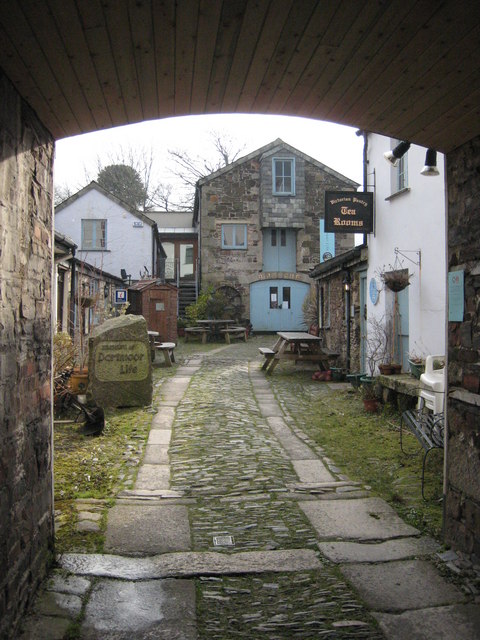
Museum of Dartmoor Life
The Museum of Dartmoor Life (MDL) is a local museum in Okehampton, Devon, southwest England. It covers life in the Dartmoor area. The museum opened in...
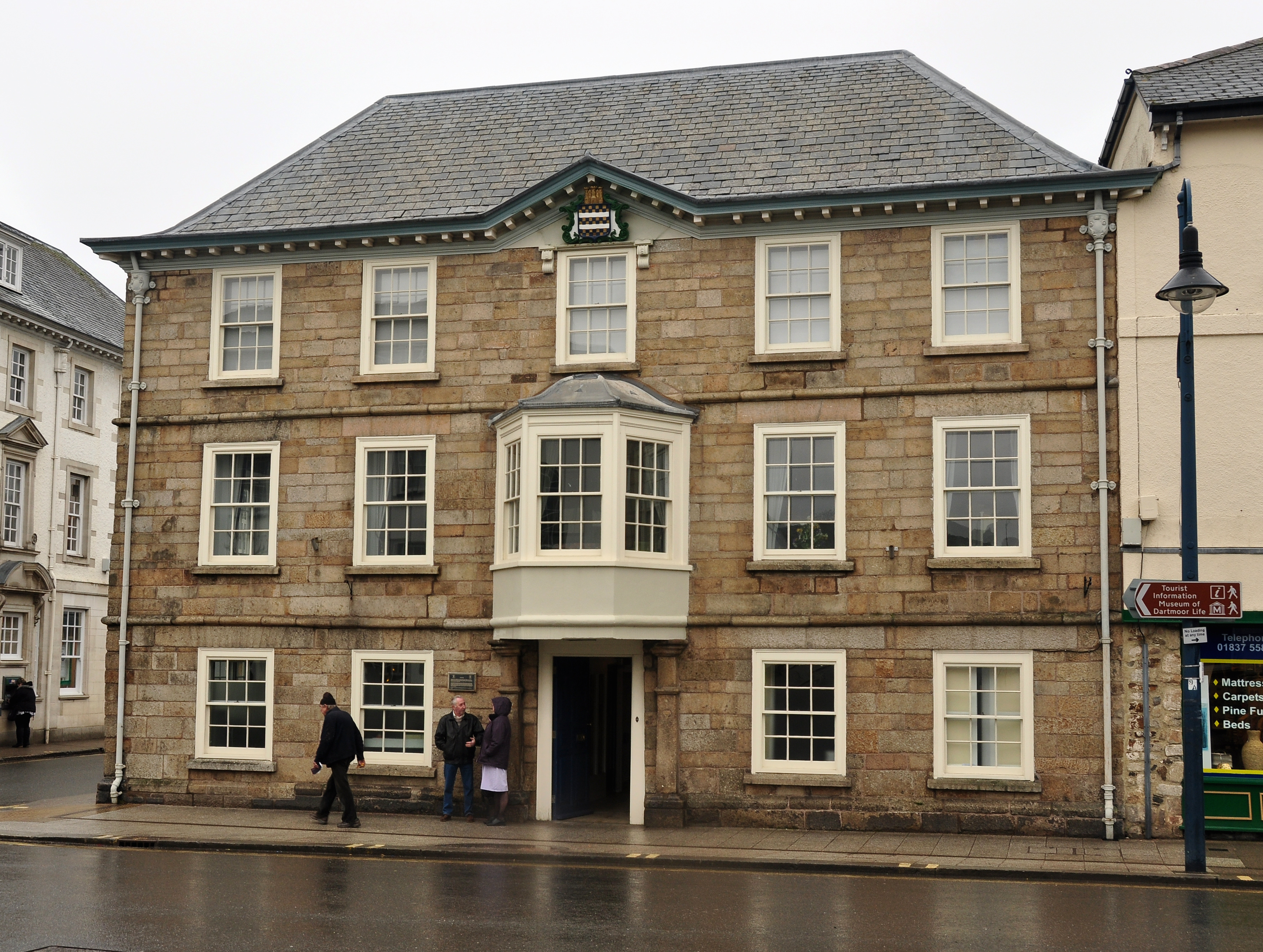
Okehampton Town Hall
Okehampton Town Hall is a municipal building in Fore Street, Okehampton, Devon, England. The town hall, which is the meeting place of Okehampton Town Council...
Nearby Amenities
Located within 500m of 50.735581,-3.9867282Have you been to Ball Hill?
Leave your review of Ball Hill below (or comments, questions and feedback).