Berry Hill
Hill, Mountain in Ayrshire
Scotland
Berry Hill
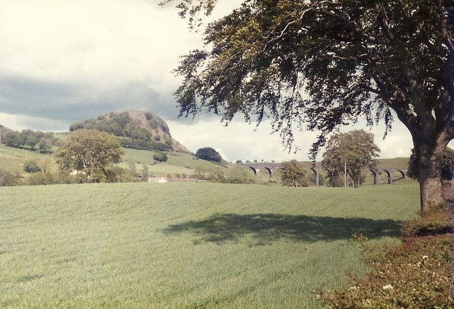
Berry Hill is a prominent hill located in Ayrshire, Scotland. It is situated near the town of Troon and stands at an elevation of approximately 79 meters (259 feet) above sea level. With its distinctive shape and lush green cover, Berry Hill is a well-known landmark in the region.
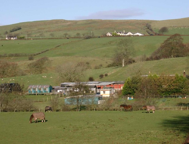
The hill offers stunning panoramic views of the surrounding countryside, including the Firth of Clyde and the Isle of Arran. Its slopes are adorned with a variety of vegetation, including grasses, shrubs, and scattered trees, creating a picturesque landscape. The hill's fertile soil also supports a diverse range of wildflowers, adding to its natural beauty.
Berry Hill is a popular destination for outdoor enthusiasts and nature lovers. It offers several walking and hiking trails that cater to different fitness levels. These trails wind through the hill, providing visitors with opportunities to explore its diverse flora and fauna. The hill's gentle slopes make it an ideal location for families and individuals looking for a leisurely stroll or a peaceful picnic.
In addition to its natural charm, Berry Hill has historical significance as well. It is believed to have been an important vantage point during ancient times, providing strategic views of the surrounding areas. Today, remnants of old fortifications can still be found on the hill, adding an element of intrigue to its allure.
Overall, Berry Hill is a captivating destination that combines natural beauty, recreational activities, and a touch of history. Whether it's for a peaceful walk, a family outing, or simply enjoying the stunning views, Berry Hill offers a memorable experience for all who visit.
If you have any feedback on the listing, please let us know in the comments section below.
Berry Hill Images
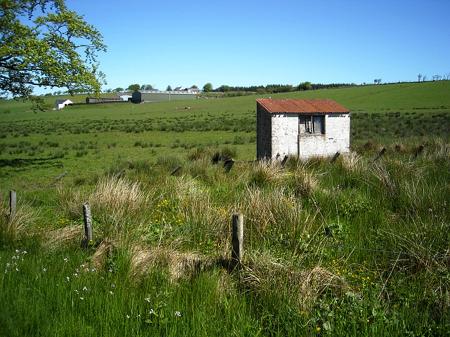
Images are sourced within 2km of 55.628927/-4.2384374 or Grid Reference NS5939. Thanks to Geograph Open Source API. All images are credited.


Berry Hill is located at Grid Ref: NS5939 (Lat: 55.628927, Lng: -4.2384374)
Unitary Authority: East Ayrshire
Police Authority: Ayrshire
What 3 Words
///presses.paying.trapdoor. Near Darvel, East Ayrshire
Nearby Locations
Related Wikis
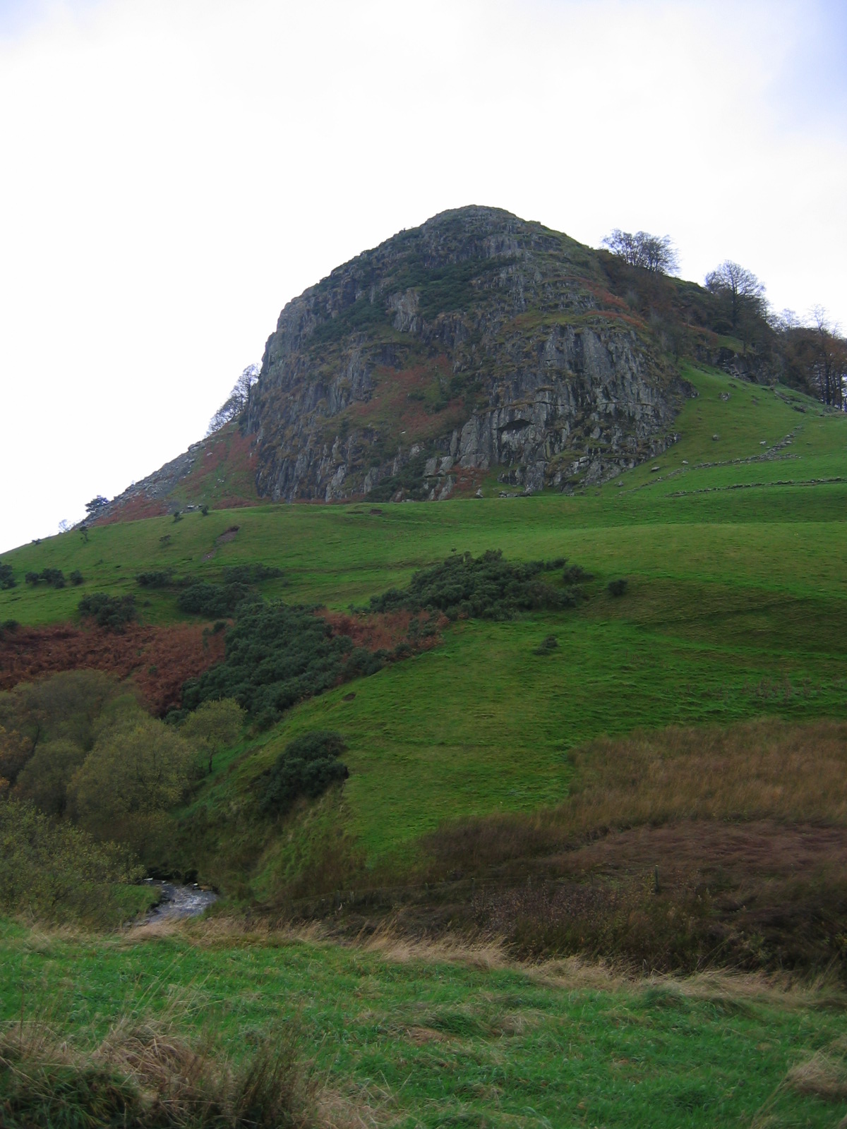
Loudoun Hill
Loudoun Hill (Scottish Gaelic: Beinn Lùghdain; also commonly Loudounhill) is a volcanic plug in East Ayrshire, Scotland. It is located near the head of...

Priestland
Priestland is a village in East Ayrshire, Scotland. It has a population of 121 (Census 2001) and lies on the A71, around two miles west of Loudoun Hill...
Loudounhill railway station
Loudounhill (NS 60268 37191) was a railway station on the Darvel and Strathaven Railway serving a rural area that included the landmark of Loudoun Hill...

Battle of Loudoun Hill
The Battle of Loudoun Hill was fought on 10 May 1307, between a Scots force led by King Robert the Bruce and the English commanded by Aymer de Valence...
Nearby Amenities
Located within 500m of 55.628927,-4.2384374Have you been to Berry Hill?
Leave your review of Berry Hill below (or comments, questions and feedback).