Gallows Hill

Hill, Mountain in Stirlingshire

Scotland

Gallows Hill

Main Street, Buchlyvie Looking northeast along Main Street (A811).
Main Street, Buchlyvie Credit: Richard Sutcliffe

Gallows Hill is a prominent hill located in Stirlingshire, Scotland. It is situated near the village of Cambusbarron, just outside the city of Stirling. The hill rises to an elevation of approximately 226 meters (741 feet) above sea level, providing excellent views of the surrounding countryside.

The name "Gallows Hill" is derived from its historical use as a site for public executions in the 17th century. It is believed that witches and criminals were hanged on the hill, giving it a dark and eerie reputation.

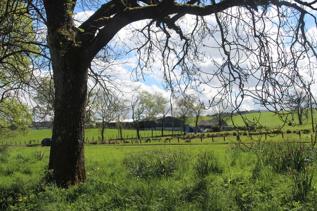
Today, Gallows Hill is a popular destination for hikers and outdoor enthusiasts looking to explore the beautiful Scottish landscape. The hill is covered in lush greenery, with a variety of plant and animal species calling it home.

Visitors can enjoy a leisurely hike to the summit of Gallows Hill, where they will be rewarded with stunning panoramic views of the surrounding area. On a clear day, it is possible to see as far as the Trossachs National Park and the city of Stirling.

Overall, Gallows Hill is a fascinating and picturesque natural landmark with a rich history that adds to its allure.

If you have any feedback on the listing, please let us know in the comments section below.
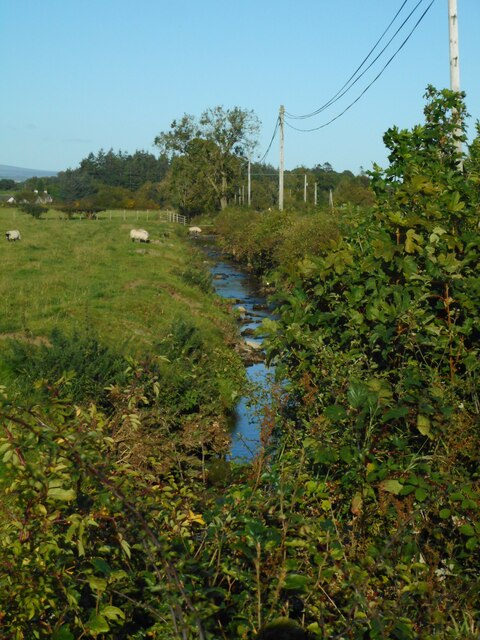
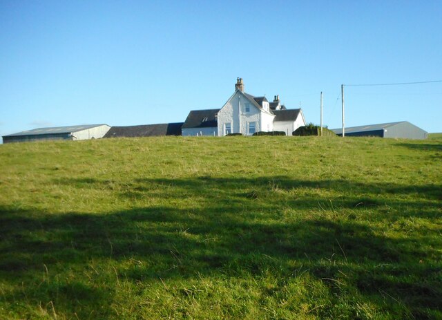
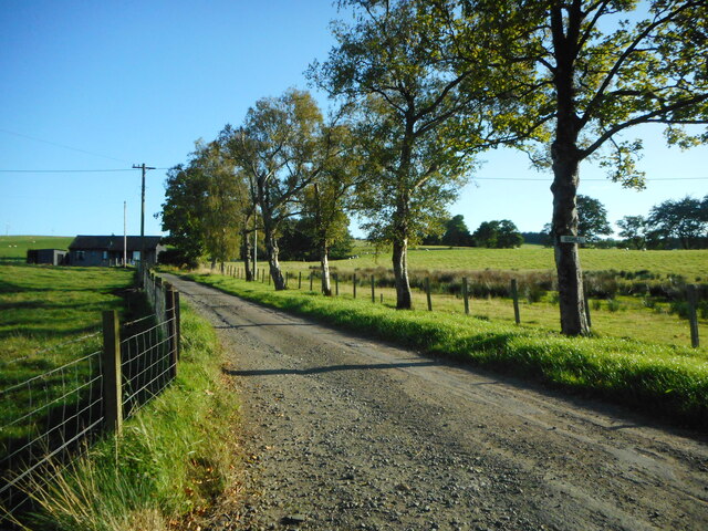
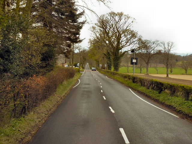
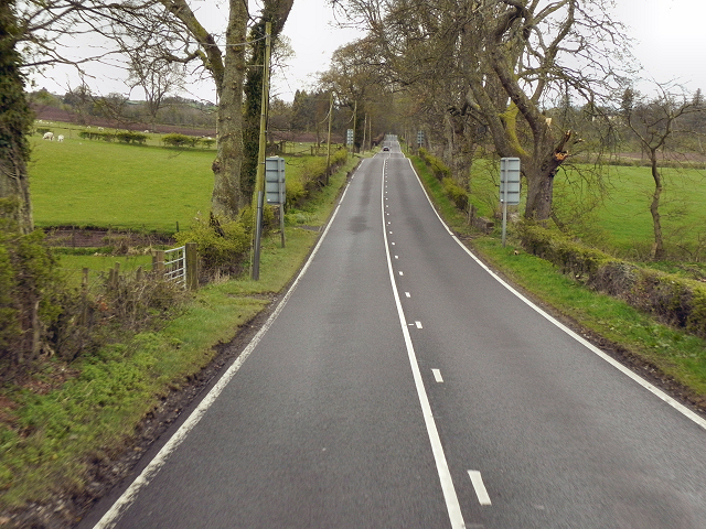
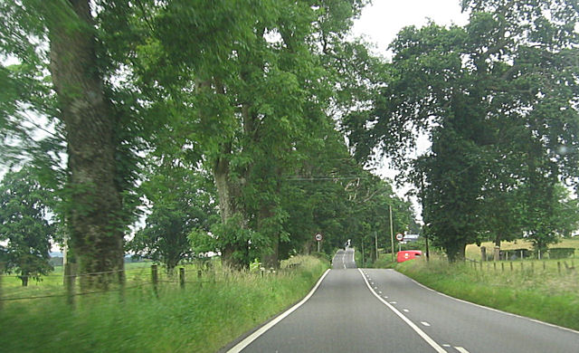
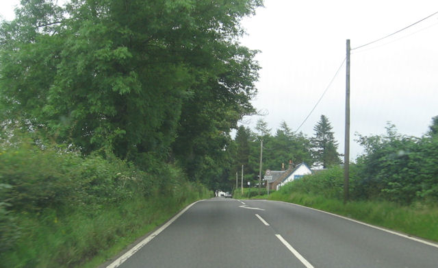
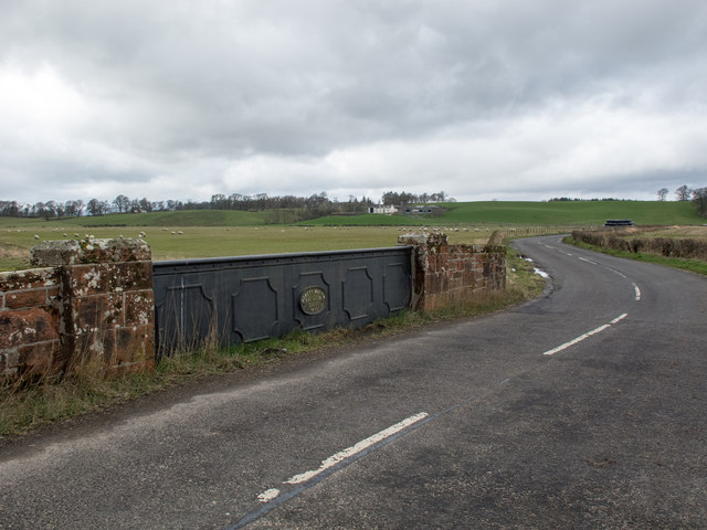
Gallows Hill Images

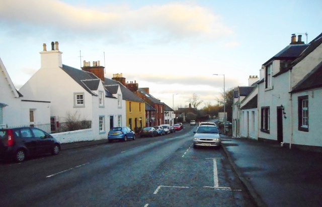
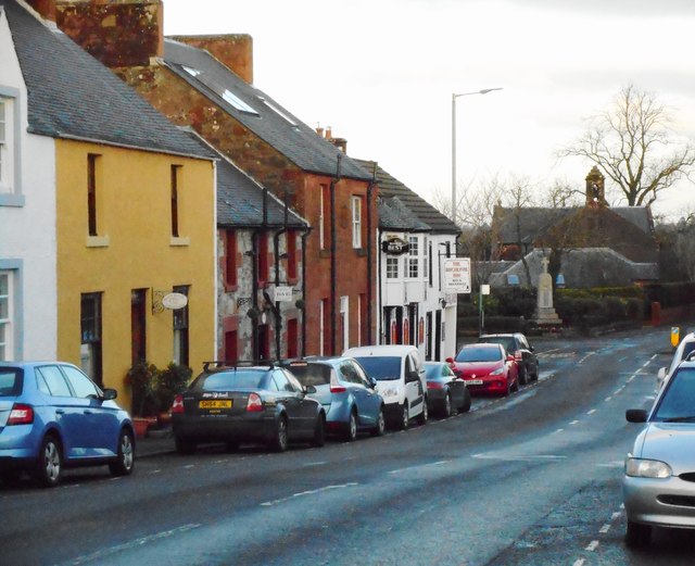
Images are sourced within 2km of 56.129006/-4.2698283 or Grid Reference NS5995. Thanks to Geograph Open Source API. All images are credited.

Main Street, Buchlyvie Looking northeast along Main Street (A811).
Main Street, Buchlyvie
Looking northeast along Main Street (A811).
Main Street, Buchlyvie The white building at the end of the row is the Buchlyvie Inn. In the distance is the war memorial and Buchlyvie Parish Church. The church, built in 1835 with additions in 1910, is a Category C listed building.
Main Street, Buchlyvie
The white building at the end of the row is the Buchlyvie Inn. In the distance is the war memorial and Buchlyvie Parish Church. The church, built in 1835 with additions in 1910, is a Category C listed building.
Public conveniences, Buchlyvie At the eastern end of the village.
Public conveniences, Buchlyvie
At the eastern end of the village.
Spring green by Buchlyvie
Track, Backside of Garden An area of scattered woodland beside the former Forth and Clyde railway.
Track, Backside of Garden
An area of scattered woodland beside the former Forth and Clyde railway.
Woodland, Backhill of Garden Scattered trees next to a small spruce wood.  A track runs in from the site of Port of Menteith Station.
Woodland, Backhill of Garden
Scattered trees next to a small spruce wood. A track runs in from the site of Port of Menteith Station.
Buchlyvie Burn Running parallel to the A811.
Buchlyvie Burn
Running parallel to the A811.
Oxhill Farm Seen from beside the A811.
Oxhill Farm
Seen from beside the A811.
Track to Oxhill Farm Off the A811.
Track to Oxhill Farm
Off the A811.
Old Military Road (A811) A very straight road. Not built by the Romans, but by the English army in the eighteenth century. Part of a network of roads built to enable the army to move about rapidly in response to the Jacobite Uprisings.

More information at <span class="nowrap"><a title="http://www.oldroadsofscotland.com/military_roads.htm" rel="nofollow ugc noopener" href="http://www.oldroadsofscotland.com/military_roads.htm">Link</a><img style="margin-left:2px;" alt="External link" title="External link - shift click to open in new window" src="https://s1.geograph.org.uk/img/external.png" width="10" height="10"/></span> - The Military Roads of Scotland
Old Military Road (A811)
A very straight road. Not built by the Romans, but by the English army in the eighteenth century. Part of a network of roads built to enable the army to move about rapidly in response to the Jacobite Uprisings. More information at LinkExternal link - The Military Roads of Scotland
A811, Old Military Road This long, straight road wasn't built by the Romans (their network of roads didn't extend into Scotland). It was part of a network of roads built by the English military in the 1700s to enable the army to move about rapidly in response to Jacobite uprisings.

More information at <span class="nowrap"><a title="http://www.oldroadsofscotland.com/military_roads.htm" rel="nofollow ugc noopener" href="http://www.oldroadsofscotland.com/military_roads.htm">Link</a><img style="margin-left:2px;" alt="External link" title="External link - shift click to open in new window" src="https://s1.geograph.org.uk/img/external.png" width="10" height="10"/></span> - The Military Roads of Scotland
A811, Old Military Road
This long, straight road wasn't built by the Romans (their network of roads didn't extend into Scotland). It was part of a network of roads built by the English military in the 1700s to enable the army to move about rapidly in response to Jacobite uprisings. More information at LinkExternal link - The Military Roads of Scotland
A811 eastbound approaching Arngibbon track Red post office van entering Arngibbon track
A811 eastbound approaching Arngibbon track
Red post office van entering Arngibbon track
A811 entering Arnprior Highland garage on the right
A811 entering Arnprior
Highland garage on the right
Bridge over the Arngibbon Burn This cast-iron bridge bears an oval plaque with the legend 'Robert Melvin, Engineer, Alloa, 1898' and crosses the small burn on the B8034 road. A bridge with the same plaque legend is situated at Polmont railway station. See <a title="https://www.geograph.org.uk/photo/3707815" href="https://www.geograph.org.uk/photo/3707815">Link</a>
Bridge over the Arngibbon Burn
This cast-iron bridge bears an oval plaque with the legend 'Robert Melvin, Engineer, Alloa, 1898' and crosses the small burn on the B8034 road. A bridge with the same plaque legend is situated at Polmont railway station. See Link
Entrance to Arnprior
Signal Point Remains Remains of a signal point alongside the former Forth And Clyde Junction Railway, adjacent to Station Wood (and just east of Port Of Menteith Station), Arnprior.
Signal Point Remains
Remains of a signal point alongside the former Forth And Clyde Junction Railway, adjacent to Station Wood (and just east of Port Of Menteith Station), Arnprior.
Trackbed Near Post Office Wood The trackbed of the former Forth And Clyde Junction Railway is on the raised embankment, to the right of the fence.  This photograph is taken near the former Port Of Menteith station.
Trackbed Near Post Office Wood
The trackbed of the former Forth And Clyde Junction Railway is on the raised embankment, to the right of the fence. This photograph is taken near the former Port Of Menteith station.
The road to Backside of Garden
Show me another place!

Gallows Hill is located at Grid Ref: NS5995 (Lat: 56.129006, Lng: -4.2698283)

Unitary Authority: Stirling

Police Authority: Forth Valley

What 3 Words

///mixes.daisy.voters. Near Kippen, Stirling

Nearby Locations

Gallows Hill

Related Wikis

Port of Menteith railway station

Port of Menteith railway station served the village of Port of Menteith, Stirling, Scotland, from 1856 by 1934 on the Forth and Clyde Junction Railway...

Buchlyvie

Buchlyvie is a village in the Stirling council area of Scotland. It is situated 14 miles (23 km) west of Stirling and 18 miles (29 km) north of Glasgow...

A811 road

The A811 is a road in central Scotland. It runs from Stirling to Balloch. == Route == The road starts off in the centre of Stirling, at the Craigs Roundabout...
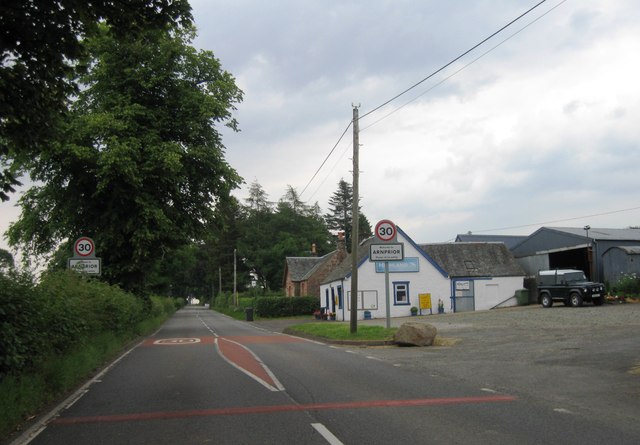
Arnprior, Stirling

Arnprior is a hamlet in the Stirling council area of Scotland on the A811 about 12 miles west of Stirling and is one of the smallest community council...

Nearby Amenities

Located within 500m of 56.129006,-4.2698283
Power: pole
Lat/Long: 56.1333371/-4.2718468
Power: pole
Lat/Long: 56.1328732/-4.2724241
Power: pole
Lat/Long: 56.1324314/-4.27297
Power: pole
Lat/Long: 56.1319721/-4.2735641
Power: pole
Lat/Long: 56.1315805/-4.2737398
Power: pole
Lat/Long: 56.1310093/-4.2742523
Power: pole
Lat/Long: 56.1305045/-4.2747857
Power: pole
Lat/Long: 56.1299974/-4.2753233
Power: pole
Lat/Long: 56.1293213/-4.2756454
Power: pole
Lat/Long: 56.1288025/-4.2761453
Power: pole
Lat/Long: 56.1282231/-4.276731
Power: pole
Lat/Long: 56.127681/-4.2772728
Power: pole
Lat/Long: 56.1261333/-4.2636566
Power: pole
Lat/Long: 56.1258535/-4.2645393
Power: pole
Lat/Long: 56.1255527/-4.2654429
Power: pole
Lat/Long: 56.1249733/-4.2672711
Power: pole
Lat/Long: 56.1247086/-4.2681245
Power: pole
Lat/Long: 56.1245419/-4.2690909
Power: pole
Lat/Long: 56.1275644/-4.2642736
Power: pole
Lat/Long: 56.1272613/-4.2639076
Power: pole
Lat/Long: 56.1269512/-4.2635687
Power: pole
Lat/Long: 56.1266142/-4.2631587
The data included in this document is from www.openstreetmap.org. The data is made available under ODbL.

Have you been to Gallows Hill?

Leave your review of Gallows Hill below (or comments, questions and feedback).