Barlae Hill
Hill, Mountain in Kirkcudbrightshire
Scotland
Barlae Hill
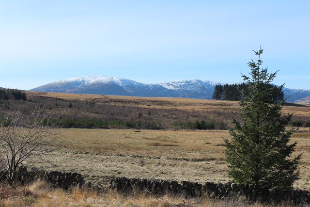
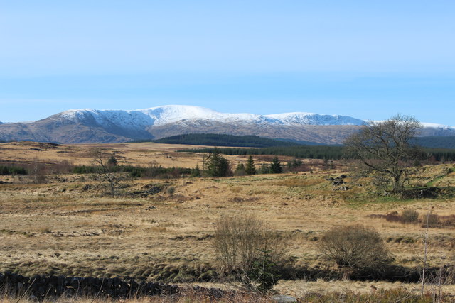
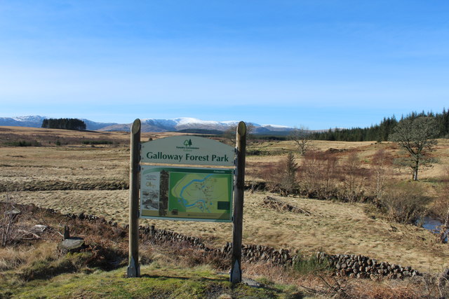
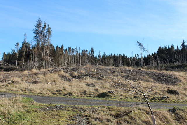
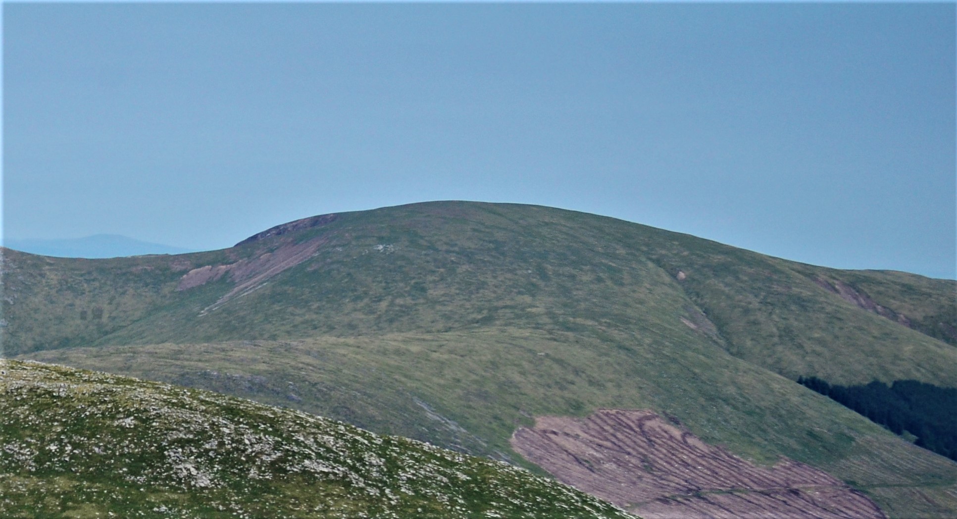
Barlae Hill is a prominent hill located in Kirkcudbrightshire, Scotland. Situated near the village of Ringford, it is a notable landmark in the region. Rising to a height of approximately 289 meters (948 feet), it offers stunning panoramic views of the surrounding countryside.
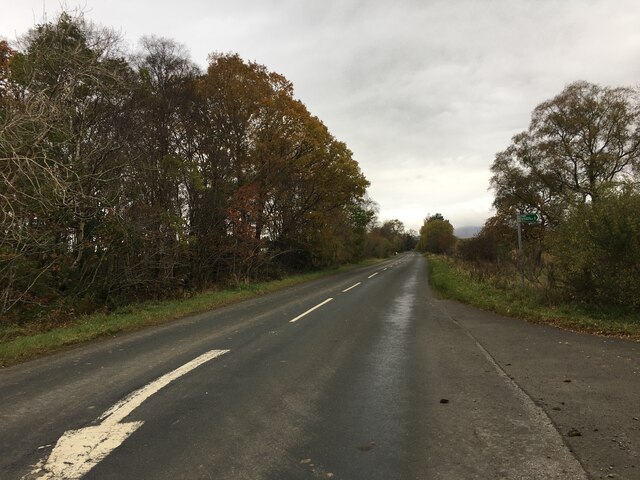
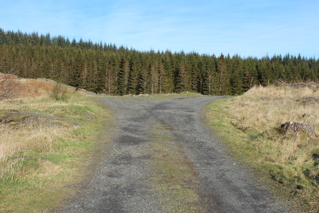
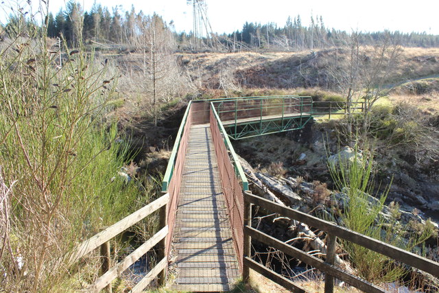
The hill is characterized by its gentle slopes and grassy terrain, making it easily accessible for hikers and walkers. It is a popular destination for outdoor enthusiasts who are looking to enjoy a leisurely stroll or a more challenging hike. The well-maintained paths and trails make it easy to navigate and explore the area.
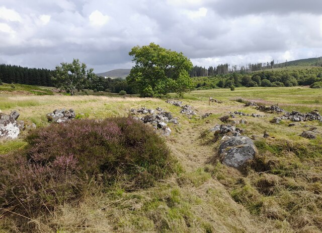
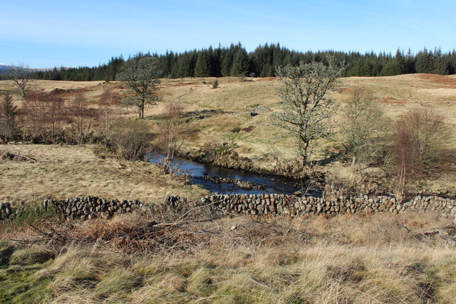
Barlae Hill is rich in biodiversity, with a variety of plant and animal species inhabiting its slopes. The hill is covered with heather, grasses, and wildflowers, creating a colorful and vibrant landscape. It serves as a habitat for various bird species, including buzzards and kestrels, and is often visited by nature enthusiasts and birdwatchers.
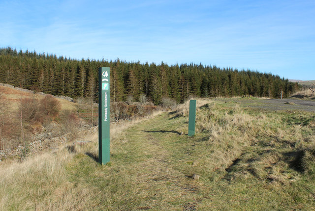
The hill also has historical significance, with remnants of ancient settlements and structures found in the vicinity. Archaeological excavations have uncovered artifacts dating back to the Bronze Age, suggesting human activity in the area for thousands of years.
Overall, Barlae Hill offers a serene and picturesque retreat for visitors, combining natural beauty with historical intrigue. Whether it's for a leisurely walk, a challenging hike, or simply to enjoy the breathtaking views, Barlae Hill is a must-visit destination for nature lovers and history enthusiasts alike.
If you have any feedback on the listing, please let us know in the comments section below.
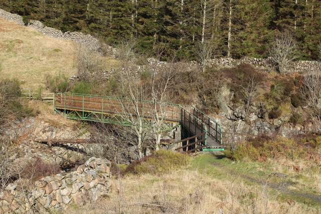
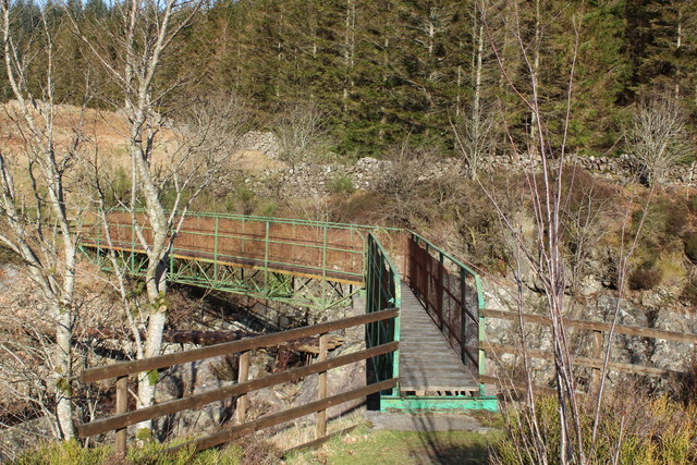
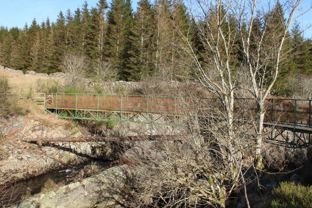
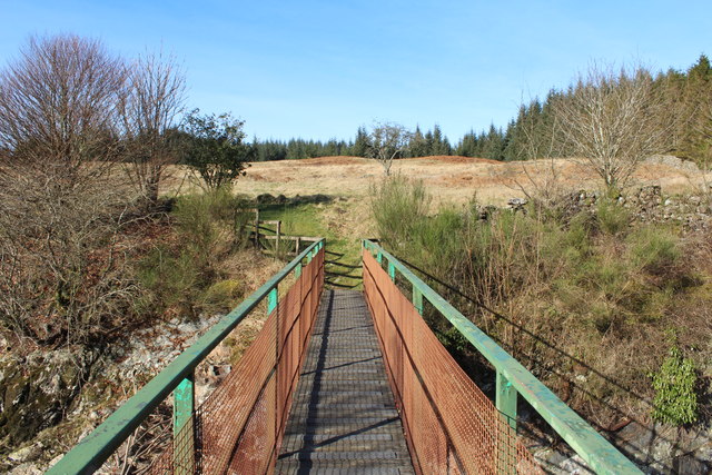
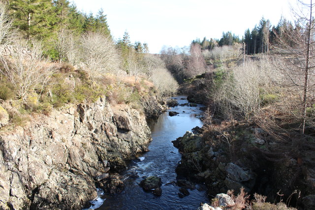
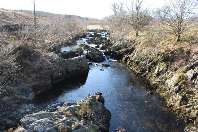
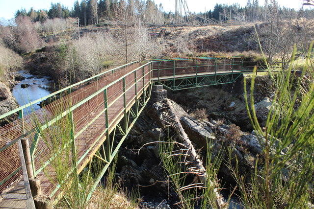
Barlae Hill Images
Images are sourced within 2km of 55.1732/-4.2207767 or Grid Reference NX5888. Thanks to Geograph Open Source API. All images are credited.

Barlae Hill is located at Grid Ref: NX5888 (Lat: 55.1732, Lng: -4.2207767)
Unitary Authority: Dumfries and Galloway
Police Authority: Dumfries and Galloway
What 3 Words
///posting.perplexed.maybe. Near Bellsbank, East Ayrshire
Nearby Locations
Related Wikis

Waukers Linn
Waukers Linn is a waterfall on Polharrow Burn in Dumfries and Galloway, Scotland. == See also == Waterfalls of Scotland == References ==

Polharrow Burn
Polharrow Burn is a small watercourse in Dumfries and Galloway, Scotland, in the historic county of Kirkcudbrightshire. It rises in Loch Harrow and flows...

Carsphairn
Carsphairn (Scottish Gaelic: An Còrsa Feàrna) is a village in the historic county of Kirkcudbrightshire in Dumfries and Galloway, Scotland. It is located...

Earlstoun Castle
Earlstoun Castle, sometimes spelled Earlston Castle, is a derelict tower house near St John's Town of Dalry in Dumfries and Galloway, Scotland. Built in...

Lochinvar
Lochinvar (or Lan Var) is a loch in the civil parish of Dalry in the historic county of Kirkcudbrightshire, Dumfries and Galloway Scotland. It is located...

St John's Town of Dalry
St John's Town of Dalry (Scottish Gaelic: Clachan Eòin), usually referred to simply as Dalry (/dæl'raɪ/ / 'dal-RYE'), is a village in Dumfries and Galloway...

Rhinns of Kells
The Rhinns of Kells are a range of hills in the Galloway Hills range, part of the Southern Uplands of Scotland. The most easterly of three parallel ridges...
Corserine
Corserine is a hill in the Rhinns of Kells, a sub-range of the Galloway Hills range, part of the Southern Uplands of Scotland. The highest point of the...
Have you been to Barlae Hill?
Leave your review of Barlae Hill below (or comments, questions and feedback).