Eastern Torrs

Hill, Mountain in Devon South Hams

England

Eastern Torrs

Old Bridge Marker on the B3186 in Yealmpton County Bridge Marker built into a stone wall off the ground and next to a fire hydrant on the west side of the B3186 Torr Hill 100 metres south of Torr Bridge, River Yealm. Yealmpton parish. Inscribed C to mark the extent of roadway adjoining the bridge that the County was obliged to maintain.

Milestone Society National ID: DV_TNPL16br
Old Bridge Marker on the B3186 in Yealmpton Credit: T Jenkinson

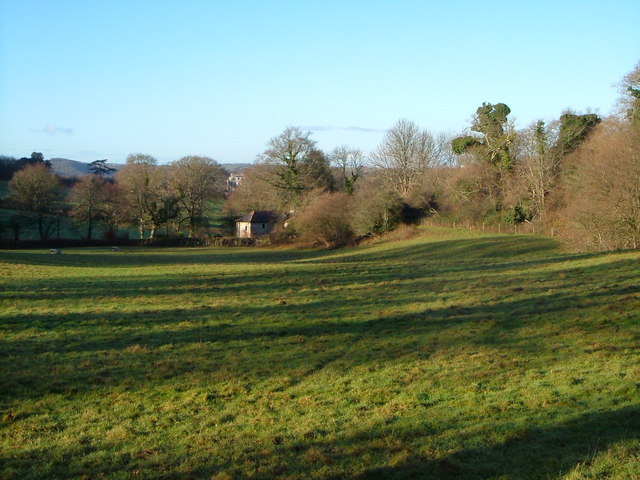
Eastern Torrs is a prominent hill located in Devon, England. It is situated within the Dartmoor National Park, which is known for its stunning natural beauty and diverse landscape. Standing at an elevation of approximately 420 meters (1,378 feet), Eastern Torrs offers breathtaking views of the surrounding countryside.

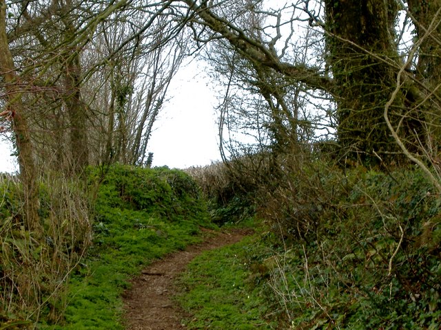
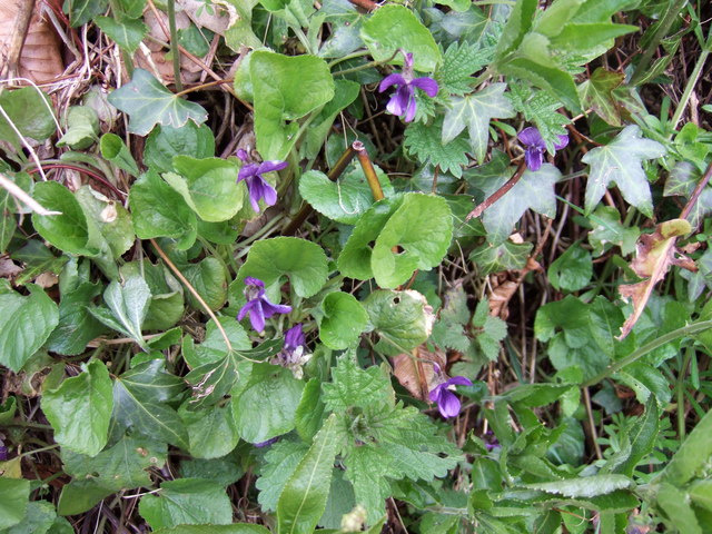
The hill is characterized by its rugged and rocky terrain, with granite outcrops scattered across its slopes. These rocky features provide a habitat for a variety of flora and fauna, making Eastern Torrs a popular spot for nature enthusiasts and hikers.

The summit of Eastern Torrs provides panoramic vistas of the rolling hills and valleys of Dartmoor National Park. On clear days, it is possible to see as far as the distant coast, adding to the allure of this natural landmark.

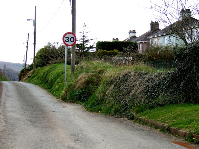
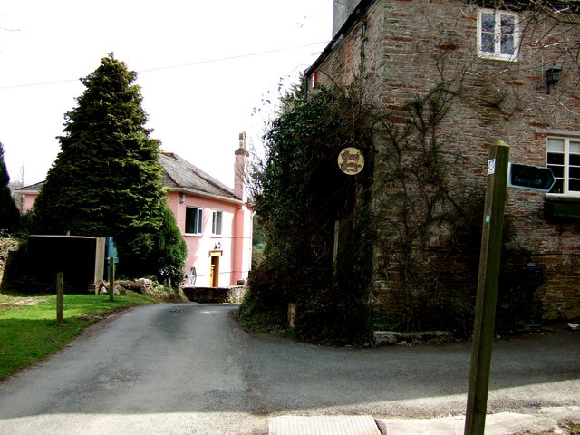
Access to Eastern Torrs is relatively straightforward, with several footpaths and trails leading to the summit. These paths are well-maintained and suitable for both experienced hikers and casual walkers. Visitors can also explore the nearby areas, such as the picturesque village of Widecombe-in-the-Moor, which lies at the foot of the hill.

Eastern Torrs is not only a haven for outdoor enthusiasts but also a site of historical and cultural significance. It is surrounded by ancient remains, including prehistoric settlements and stone circles, providing a glimpse into the region's rich history.

In conclusion, Eastern Torrs in Devon is a captivating hill that offers stunning views, diverse flora and fauna, and a connection to the area's fascinating past. Whether it be for hiking, nature exploration, or historical interest, Eastern Torrs is undoubtedly a must-visit destination within Dartmoor National Park.

If you have any feedback on the listing, please let us know in the comments section below.

Eastern Torrs Images

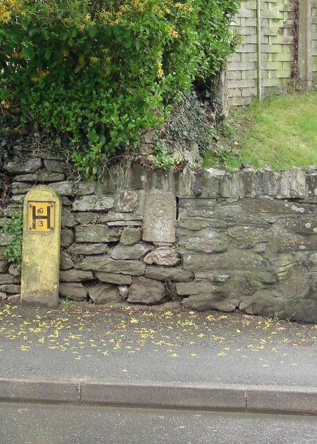
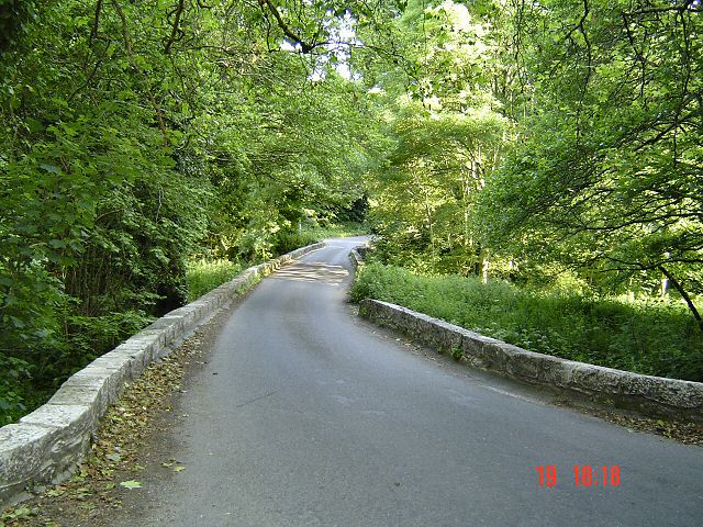
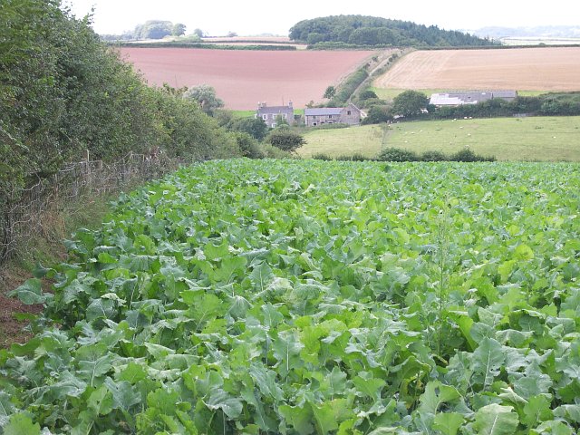
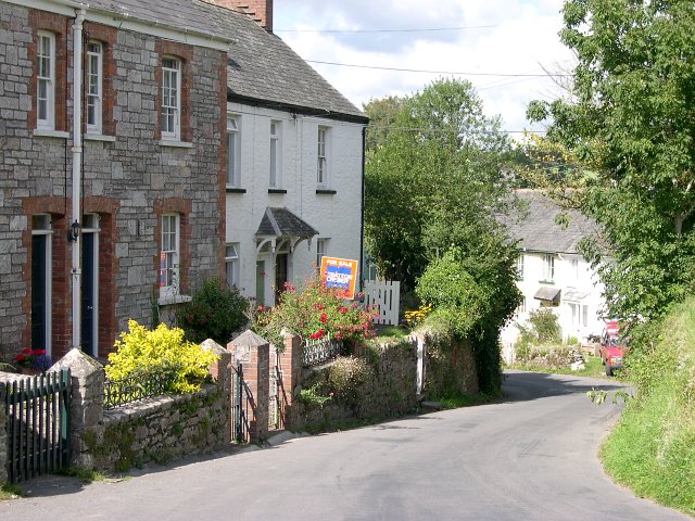
Images are sourced within 2km of 50.350564/-3.9895158 or Grid Reference SX5851. Thanks to Geograph Open Source API. All images are credited.

Old Bridge Marker on the B3186 in Yealmpton County Bridge Marker built into a stone wall off the ground and next to a fire hydrant on the west side of the B3186 Torr Hill 100 metres south of Torr Bridge, River Yealm. Yealmpton parish. Inscribed C to mark the extent of roadway adjoining the bridge that the County was obliged to maintain.

Milestone Society National ID: DV_TNPL16br
Old Bridge Marker on the B3186 in Yealmpton
County Bridge Marker built into a stone wall off the ground and next to a fire hydrant on the west side of the B3186 Torr Hill 100 metres south of Torr Bridge, River Yealm. Yealmpton parish. Inscribed C to mark the extent of roadway adjoining the bridge that the County was obliged to maintain. Milestone Society National ID: DV_TNPL16br
Bridge over River Yealm - South Devon
Mixed Agriculture near Crebar Farm This photograph was taken from the minor road in the north-east corner of the square and looks west across the northern side of the square.  The farm on the opposite side of the valley is called Crebar.
Mixed Agriculture near Crebar Farm
This photograph was taken from the minor road in the north-east corner of the square and looks west across the northern side of the square. The farm on the opposite side of the valley is called Crebar.
Dunstone The tiny village of Dunstone near Yealmpton.
Dunstone
The tiny village of Dunstone near Yealmpton.
Modern housing estate, Yealmpton Some of the more recent new houses in Yealmpton village on the valley floor near the river Yealm.  The old village centre itself is situated a little way above the flood plain.
Modern housing estate, Yealmpton
Some of the more recent new houses in Yealmpton village on the valley floor near the river Yealm. The old village centre itself is situated a little way above the flood plain.
Yealmpton Village Centre The centre of Yealmpton is dominated by the main road which carries a constant stream of traffic and splits the higher part of the village from the lower southern side.
Yealmpton Village Centre
The centre of Yealmpton is dominated by the main road which carries a constant stream of traffic and splits the higher part of the village from the lower southern side.
Lyneham House A fine house in a lovely setting
Lyneham House
A fine house in a lovely setting
Row of trees marking airstrip This row of trees marks the line of a disused airstrip.
Row of trees marking airstrip
This row of trees marks the line of a disused airstrip.
Lane near Cole Hill Plantation This is marked on the map as a "white" lane - which are often driveable - this one isn't !!!
Lane near Cole Hill Plantation
This is marked on the map as a "white" lane - which are often driveable - this one isn't !!!
Yeo Park A little clump of Council Houses (or at least they were originally), in the countryside near Yealmbridge.
Yeo Park
A little clump of Council Houses (or at least they were originally), in the countryside near Yealmbridge.
Cottage near Yealmbridge A quiet little spot at the end of a lane clustered near Yeo Farm.
The footpath goes into Allercombe Wood off to the North West.
Cottage near Yealmbridge
A quiet little spot at the end of a lane clustered near Yeo Farm. The footpath goes into Allercombe Wood off to the North West.
Violets in Devon Hedgerow Precisely which of the various species of British violets these are I'm not sure, but think that they're probably Viola riviniana, the Common Dog Violet
This is a link that may help you decide 
<span class="nowrap"><a title="http://www.floralimages.co.uk/page.php?taxon=viola_riviniana,1" rel="nofollow ugc noopener" href="http://www.floralimages.co.uk/page.php?taxon=viola_riviniana,1">Link</a><img style="margin-left:2px;" alt="External link" title="External link - shift click to open in new window" src="https://s1.geograph.org.uk/img/external.png" width="10" height="10"/></span>
Violets in Devon Hedgerow
Precisely which of the various species of British violets these are I'm not sure, but think that they're probably Viola riviniana, the Common Dog Violet This is a link that may help you decide LinkExternal link
The lane to Wilburton An almost straight lane dips down to cross the Long Brook, a tributary of the Yealm, which cuts across the southern half of this square. The lane then climbs to Wilburton, whose buildings are in the distance.
The lane to Wilburton
An almost straight lane dips down to cross the Long Brook, a tributary of the Yealm, which cuts across the southern half of this square. The lane then climbs to Wilburton, whose buildings are in the distance.
Across the Long Brook to Greenacres Taken from almost the same spot as <a href="https://www.geograph.org.uk/photo/285008">SX6052 : Long Brook</a>, but the Long Brook runs south for about 25 metres beside the Wilburton Lane before turning across the middle of this field. Greenacres stands beside the A379 and is across a gridline, as is Butland Wood, on the hill behind.
Across the Long Brook to Greenacres
Taken from almost the same spot as SX6052 : Long Brook, but the Long Brook runs south for about 25 metres beside the Wilburton Lane before turning across the middle of this field. Greenacres stands beside the A379 and is across a gridline, as is Butland Wood, on the hill behind.
Field above Long Brook Taken looking down the Long Brook valley from the lane shown in <a href="https://www.geograph.org.uk/photo/284987">SX6052 : The lane to Wilburton</a>.
Field above Long Brook
Taken looking down the Long Brook valley from the lane shown in SX6052 : The lane to Wilburton.
Wet lane below Wilburton Rainwater and runoff from damp fields runs down the lane from Wilburton into the Long Brook valley.
Wet lane below Wilburton
Rainwater and runoff from damp fields runs down the lane from Wilburton into the Long Brook valley.
Ditch beside the lane to Wilburton The reverse view of <a href="https://www.geograph.org.uk/photo/286739">SX6052 : Wet lane below Wilburton</a>, taken from beside the oak in <a href="https://www.geograph.org.uk/photo/284987">SX6052 : The lane to Wilburton</a>, with Wilburton Farm up the hill.
Ditch beside the lane to Wilburton
The reverse view of SX6052 : Wet lane below Wilburton, taken from beside the oak in SX6052 : The lane to Wilburton, with Wilburton Farm up the hill.
Rough Torr Barn from Yealmpton Footpath 17 The barn was converted into a dwelling in 1986, its 150th anniversary year. The country house beyond, in a different square, is Puslinch. The wood on the right is Rough Torrs, and the shadows in the field are cast by trees along the lane from Two Crosses past the barn.
Rough Torr Barn from Yealmpton Footpath 17
The barn was converted into a dwelling in 1986, its 150th anniversary year. The country house beyond, in a different square, is Puslinch. The wood on the right is Rough Torrs, and the shadows in the field are cast by trees along the lane from Two Crosses past the barn.
Show me another place!

Eastern Torrs is located at Grid Ref: SX5851 (Lat: 50.350564, Lng: -3.9895158)

Administrative County: Devon

District: South Hams

Police Authority: Devon and Cornwall

What 3 Words

///protrude.vies.hood. Near Yealmpton, Devon

Related Wikis

Yealmpton railway station

Yealmpton station was a stone built railway station in Devon, England, and was the terminus of the Plymouth to Yealmpton Branch built to the south and...

Yealmpton

Yealmpton () is a village and civil parish in the English county of Devon. It is located in the South Hams on the A379 Plymouth to Kingsbridge road and...

Stamford Fort

Stamford Fort is a 19th-century fort, built as a result of the Royal Commission on National Defence of 1859. Part of an extensive scheme known as Palmerston...
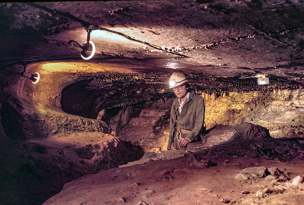
Kitley Show Cave

Kitley Show Cave is a solution cave in Yealmpton, Devon, England. Originally discovered by quarrying, it used to be open to the public as a show cave,...

Nearby Amenities

Located within 500m of 50.350564,-3.9895158
Post Box
Brand: Royal Mail
Brand Wikidata: Q638098
Brand Wikipedia: en:Royal Mail
Collection Times: Mo-Fr 09:00; Sa 07:00; Su off
Drive Through: no
Operator: Royal Mail
Operator Wikidata: Q638098
Post Box Design: type_c
Post Box Mounting: stone_wall
Post Box Type: wall
Ref: PL8 608D
Royal Cypher: VR
Royal Cypher Wikidata: Q33102356
Source: survey;streetlevel imagery;aerial imagery
Lat/Long: 50.3508507/-3.9833573
Direction: 145
Generator Method: photovoltaic
Generator Output Electricity: yes
Generator Solar Modules: 15
Generator Source: solar
Generator Type: solar_photovoltaic_panel
Location: roof
Power: generator
Lat/Long: 50.3501649/-3.9950783
Direction: 165
Generator Method: photovoltaic
Generator Output Electricity: yes
Generator Solar Modules: 20
Generator Source: solar
Generator Type: solar_photovoltaic_panel
Location: roof
Power: generator
Lat/Long: 50.3491837/-3.9955669
Direction: 145
Generator Method: photovoltaic
Generator Output Electricity: yes
Generator Solar Modules: 12
Generator Source: solar
Generator Type: solar_photovoltaic_panel
Location: roof
Power: generator
Lat/Long: 50.3487165/-3.9947461
Direction: 125
Generator Method: photovoltaic
Generator Output Electricity: yes
Generator Solar Modules: 10
Generator Source: solar
Generator Type: solar_photovoltaic_panel
Location: roof
Power: generator
Lat/Long: 50.3483316/-3.9953482
Direction: SSE
Generator Method: photovoltaic
Generator Output Electricity: yes
Generator Solar Modules: 16
Generator Source: solar
Generator Type: solar_photovoltaic_panel
Location: roof
Power: generator
Lat/Long: 50.3473419/-3.9936722
Direction: 150
Generator Method: photovoltaic
Generator Output Electricity: yes
Generator Solar Modules: 16
Generator Source: solar
Generator Type: solar_photovoltaic_panel
Location: roof
Power: generator
Lat/Long: 50.3497074/-3.9947349
Direction: 150
Generator Method: photovoltaic
Generator Output Electricity: yes
Generator Solar Modules: 4
Generator Source: solar
Generator Type: solar_photovoltaic_panel
Location: roof
Note: 4 v large panels, exact purpose unknown
Power: generator
Lat/Long: 50.3497238/-3.994749
Post Box
Brand: Royal Mail
Brand Wikidata: Q638098
Brand Wikipedia: en:Royal Mail
Collection Times: Mo-Sa 10:30; Su off
Drive Through: no
Operator: Royal Mail
Operator Wikidata: Q638098
Post Box Mounting: pier
Post Box Type: lamp
Ref: PL8 762
Royal Cypher: EIIR
Royal Cypher Wikidata: Q33102113
Source: survey;streetlevel imagery;aerial imagery
Lat/Long: 50.3538052/-3.9882357
Fire Hydrant
Emergency: fire_hydrant
Fire Hydrant Type: underground
Survey Date: 2022-03-12
Lat/Long: 50.3490864/-3.9957341
Atm
Survey Date: 2022-03-12
Lat/Long: 50.348808/-3.995707
Street Lamp
Survey Date: 2022-03-12
Lat/Long: 50.3491862/-3.9958834
Street Lamp
Survey Date: 2022-03-12
Lat/Long: 50.3494822/-3.9959127
Ford: yes
Lat/Long: 50.3491125/-3.9853692
The data included in this document is from www.openstreetmap.org. The data is made available under ODbL.

Have you been to Eastern Torrs?

Leave your review of Eastern Torrs below (or comments, questions and feedback).