Clincart Hill
Hill, Mountain in Renfrewshire
Scotland
Clincart Hill
Situated in Renfrewshire, Scotland, Clincart Hill is a prominent hill that forms part of the Clyde Muirshiel Regional Park. With an elevation of 142 meters (466 feet), it offers breathtaking panoramic views of the surrounding countryside, making it a popular destination for hikers, walkers, and nature enthusiasts.
Covered in a mixture of grass, heather, and shrubs, Clincart Hill boasts a diverse range of flora and fauna. The hill is home to various species of birds, including buzzards, kestrels, and red kites, providing excellent opportunities for birdwatching. Its rich biodiversity also supports a variety of plant life, such as bluebells, foxgloves, and wild roses, creating a picturesque landscape.
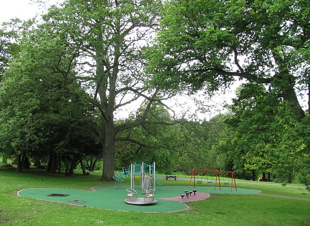
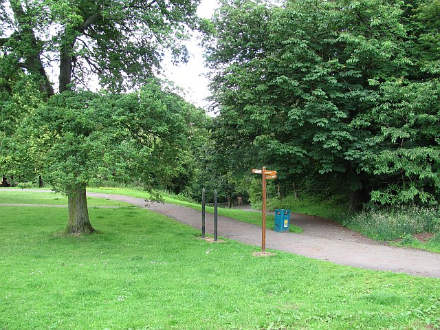
The hill features several well-marked trails, catering to both experienced hikers and casual walkers. The paths wind their way through the hill, allowing visitors to explore its natural beauty at their own pace. Along the way, there are designated viewpoints where one can pause and admire the stunning vistas of the surrounding countryside, including the Clyde Estuary and the distant hills of Argyll.
Clincart Hill has a rich history, with evidence of human activity dating back to prehistoric times. The site has archaeological significance, with remnants of ancient settlements and burial cairns found on its slopes. These historical features add an additional layer of intrigue to the hill, making it an interesting destination for history enthusiasts and those interested in the region's past.
Overall, Clincart Hill offers a captivating blend of natural beauty, recreational opportunities, and historical significance, making it a must-visit destination for those exploring Renfrewshire and the Clyde Muirshiel Regional Park.
If you have any feedback on the listing, please let us know in the comments section below.
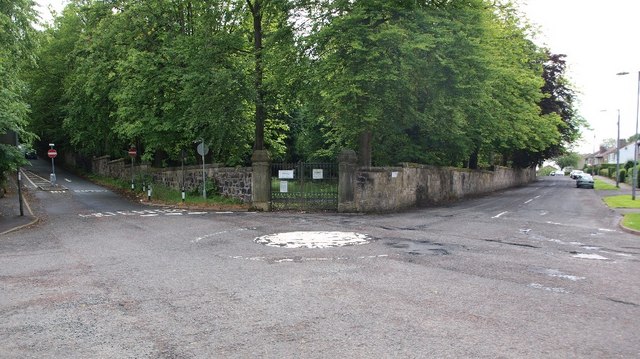
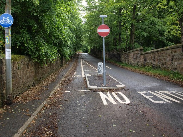
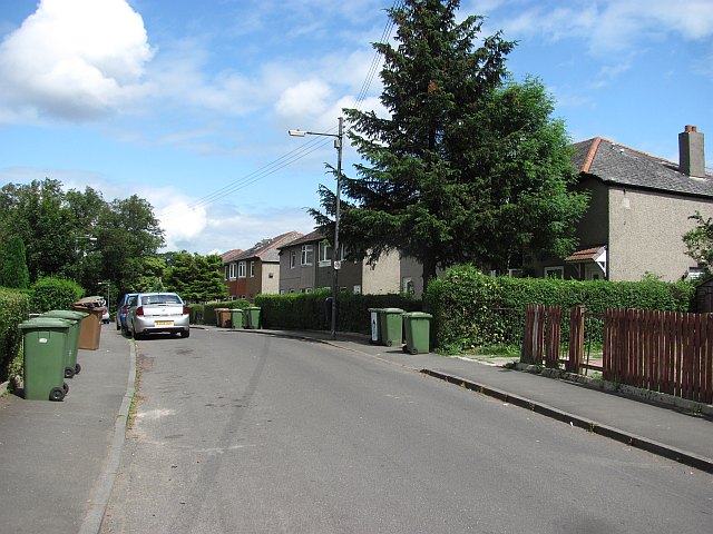
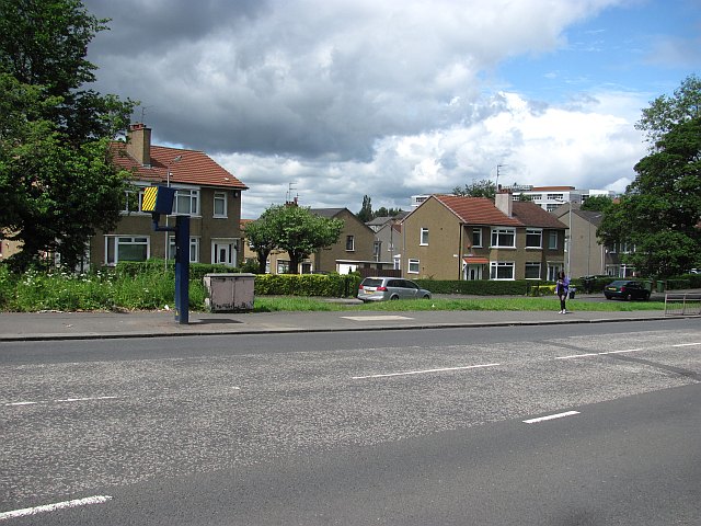
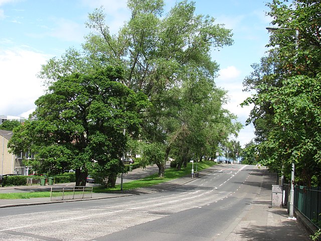
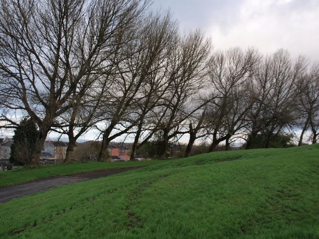
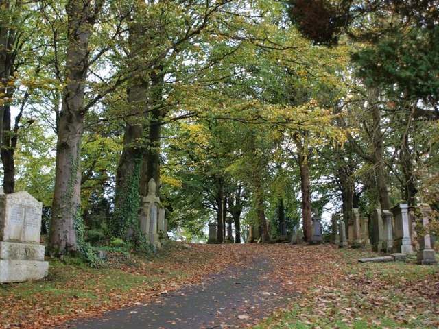
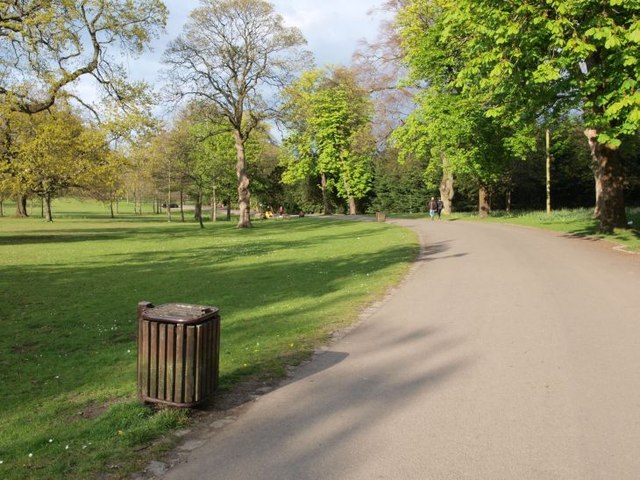
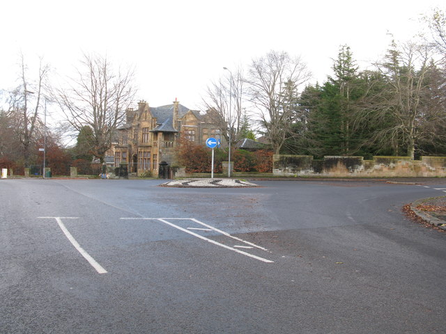
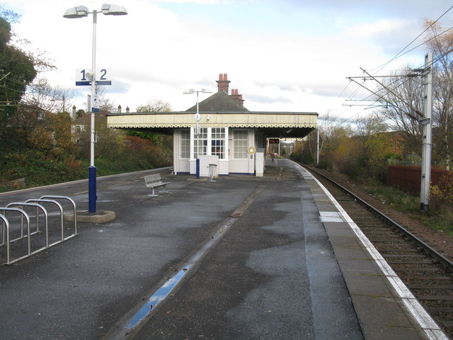
Clincart Hill Images
Images are sourced within 2km of 55.825797/-4.2602413 or Grid Reference NS5861. Thanks to Geograph Open Source API. All images are credited.
Clincart Hill is located at Grid Ref: NS5861 (Lat: 55.825797, Lng: -4.2602413)
Unitary Authority: City of Glasgow
Police Authority: Greater Glasgow
What 3 Words
///winner.sharp.rent. Near Rutherglen, South Lanarkshire
Nearby Locations
Related Wikis
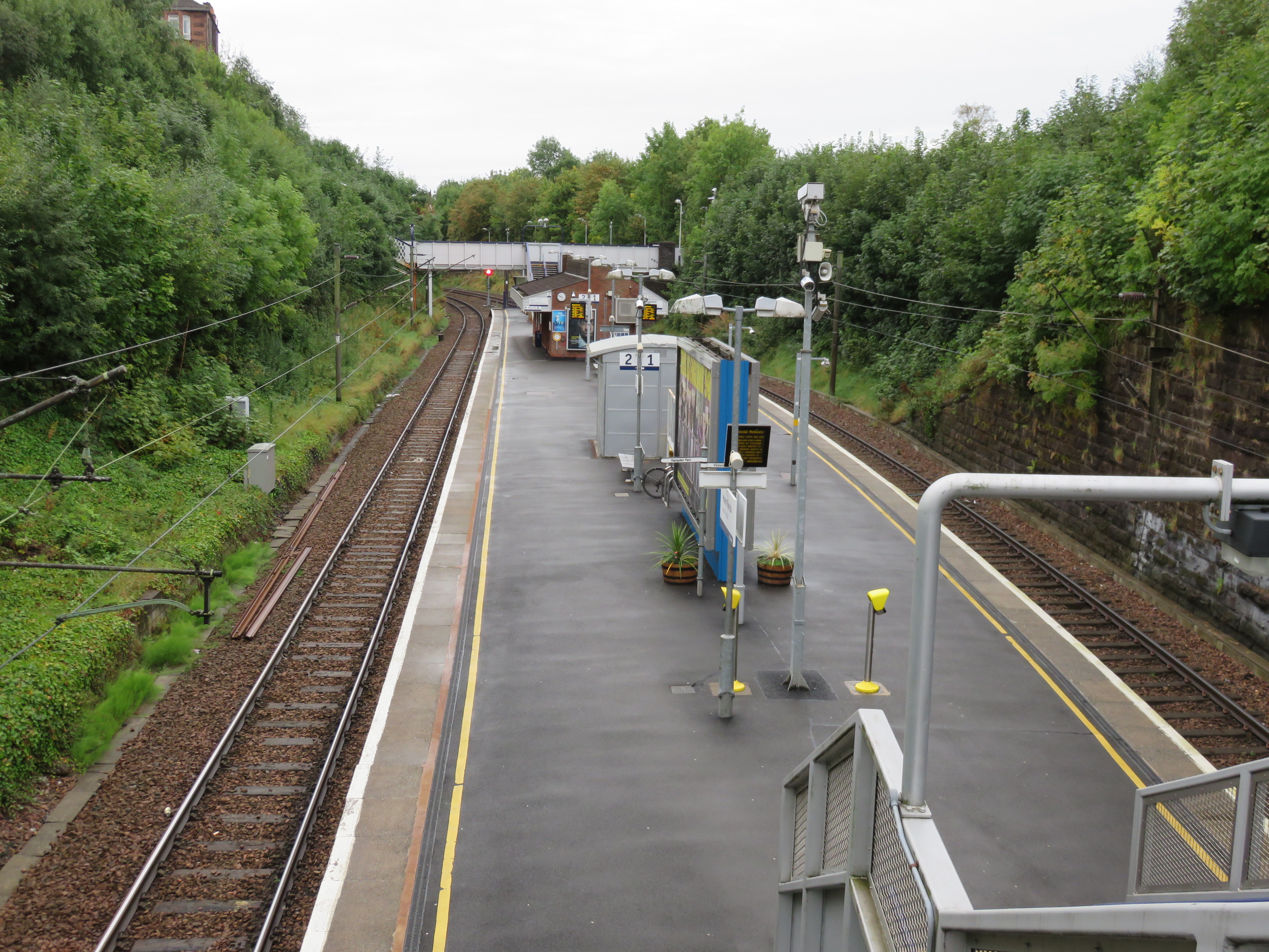
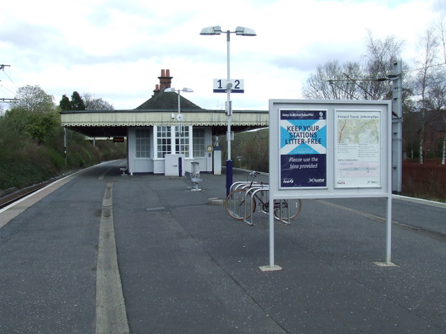
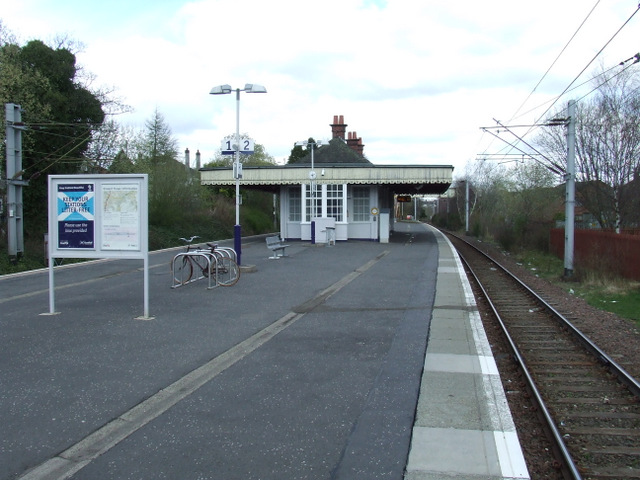
Mount Florida railway station
Mount Florida railway station is a staffed island platform station on the Cathcart Circle. It serves the Mount Florida and Battlefield areas of Glasgow...

Langside College
Langside College was a further and higher education college located in the Mount Florida / Battlefield region of Glasgow. It was established in 1947 and...
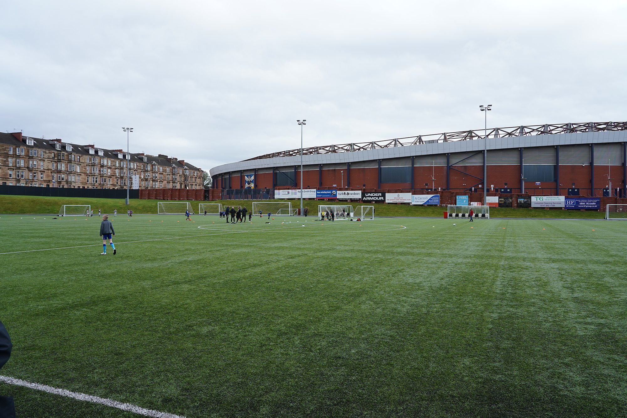
Lesser Hampden
Lesser Hampden (currently known as The City Stadium for sponsorship reasons) is a football stadium in Mount Florida, Glasgow, Scotland, which is located...

New Victoria Hospital
The New Victoria Hospital is an ambulatory care hospital situated at Langside/Battlefield in the south-east of Glasgow, Scotland. It is managed by NHS...
Nearby Amenities
Located within 500m of 55.825797,-4.2602413Have you been to Clincart Hill?
Leave your review of Clincart Hill below (or comments, questions and feedback).