Eastern Tor
Hill, Mountain in Devon West Devon
England
Eastern Tor

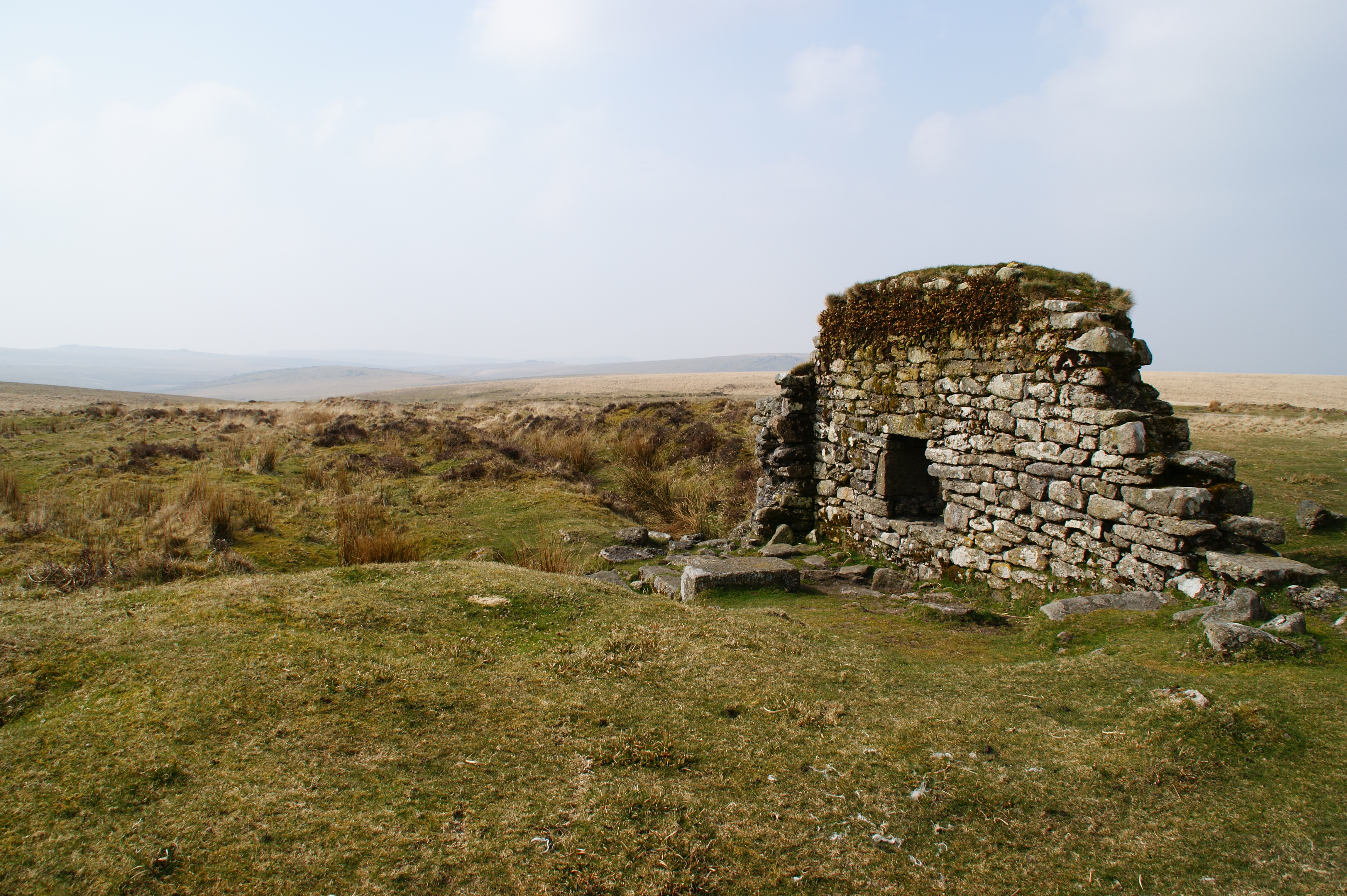
Eastern Tor is a prominent hill located in the county of Devon, England. It is considered a notable landmark in the region, standing at an elevation of approximately 400 meters (1,312 feet) above sea level. Situated within the Dartmoor National Park, Eastern Tor is part of the larger Dartmoor Tors, a collection of granite outcrops that dot the landscape.
The tor is characterized by its distinct rocky summit, which offers breathtaking panoramic views of the surrounding moorland. The hill is a popular destination for hikers, walkers, and outdoor enthusiasts, who are drawn to its natural beauty and tranquility. The rugged terrain and granite formations provide a unique and challenging experience for those seeking adventure.
Eastern Tor is known for its rich geological history, showcasing the enduring effects of weathering and erosion on the exposed granite. The site also boasts a diverse range of flora and fauna, with heather, gorse, and bracken covering the slopes, and various bird species, including skylarks and stonechats, inhabiting the area.
Due to its location within Dartmoor National Park, Eastern Tor is protected under conservation regulations, ensuring the preservation of its natural environment and wildlife. Visitors are encouraged to adhere to the park's guidelines, respecting the delicate ecosystem and leaving no trace of their presence.
Overall, Eastern Tor is a captivating destination for nature enthusiasts and offers a unique opportunity to explore the raw beauty of the Devonshire landscape.
If you have any feedback on the listing, please let us know in the comments section below.
Eastern Tor Images
Images are sourced within 2km of 50.48096/-3.9964112 or Grid Reference SX5866. Thanks to Geograph Open Source API. All images are credited.


Eastern Tor is located at Grid Ref: SX5866 (Lat: 50.48096, Lng: -3.9964112)
Administrative County: Devon
District: West Devon
Police Authority: Devon and Cornwall
What 3 Words
///widest.promotion.swimmer. Near Yelverton, Devon
Nearby Locations
Related Wikis
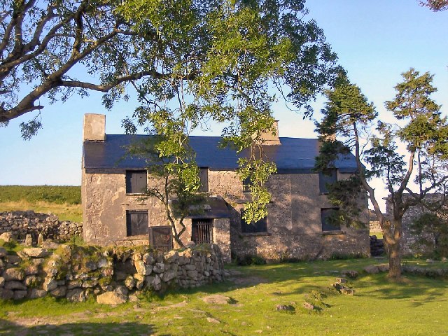
Ditsworthy Warren House
Ditsworthy Warren House is a Grade II listed building near Sheepstor in Devon, England. It is an isolated building on the south-western edge of Dartmoor...

Upper Plym Valley
The Upper Plym Valley is an area of Dartmoor, Devon, England, particularly noted for a large array of archaeological sites ranging from prehistoric Drizzlecombe...

Drizzlecombe
Drizzlecombe or Thrushelcombe is an area of Dartmoor in the county of Devon, England, containing a number of Bronze Age stone rows, cairns and menhirs...
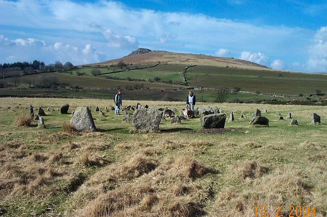
Yellowmead stone circle
Yellowmead stone circle near Sheepstor in Devon, England, is a Bronze Age concentric stone circle consisting of four rings of stones set within one another...
Eylesbarrow mine
Eylesbarrow mine was a tin mine on Dartmoor, Devon, England that was active during the first half of the 19th century. In its early years it was one of...

Great Trowlesworthy Tor
Great Trowlesworthy Tor is a granite tor on the southwestern edge of Dartmoor. It is located near the popular Cadover Bridge and is a popular walking destination...

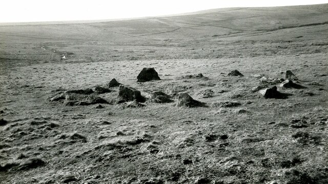
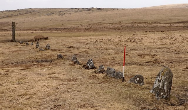
Ringmoor stone row and cairn circle
Ringmoor stone row and cairn circle (grid reference SX563658) is a prehistoric stone row and cairn circle on Ringmoor Down in Devon. It is located three...

Brisworthy stone circle
Brisworthy stone circle (grid reference SX564654) is a stone circle on Dartmoor, Devon. It is located three miles east of the A386, northeast of the village...
Nearby Amenities
Located within 500m of 50.48096,-3.9964112Have you been to Eastern Tor?
Leave your review of Eastern Tor below (or comments, questions and feedback).