Barskeoch Hill
Hill, Mountain in Kirkcudbrightshire
Scotland
Barskeoch Hill

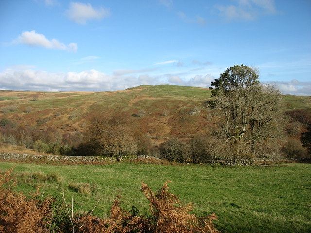
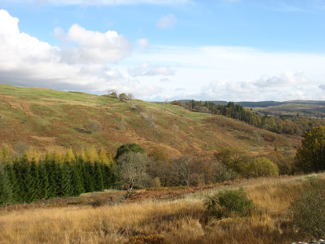
Barskeoch Hill is a prominent hill located in the region of Kirkcudbrightshire, in southwest Scotland. Rising to an elevation of 265 meters (869 feet), it is considered one of the notable landmarks in the area. Situated near the village of Dalry, Barskeoch Hill offers breathtaking views of the surrounding countryside, including the rolling hills and picturesque valleys that characterize the region.
The hill itself is primarily composed of sedimentary rocks, with layers of sandstone and shale being prominent. The presence of these rocks provides evidence of the geological history of the area, which dates back millions of years. Barskeoch Hill is also home to a diverse range of flora and fauna, making it an attractive destination for nature enthusiasts and wildlife observers.
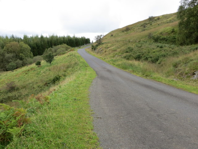
Access to Barskeoch Hill is relatively easy, with several walking trails and paths leading to its summit. These routes are well-maintained and offer hikers of all levels an opportunity to explore the hill. At the top, visitors are rewarded with panoramic views of the surrounding landscape, making it a popular spot for photography and outdoor activities.
Overall, Barskeoch Hill is a captivating natural feature in Kirkcudbrightshire, offering both locals and tourists a chance to immerse themselves in the beauty of the Scottish countryside. Whether it is for a leisurely stroll or a more challenging hike, this hill provides a memorable experience for all who venture to its summit.
If you have any feedback on the listing, please let us know in the comments section below.
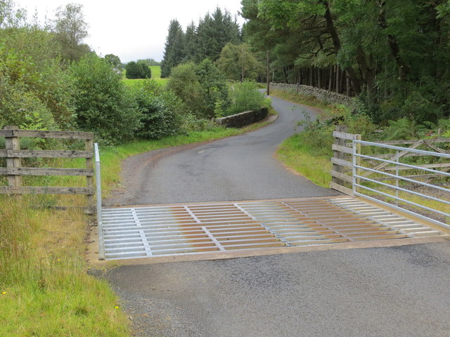
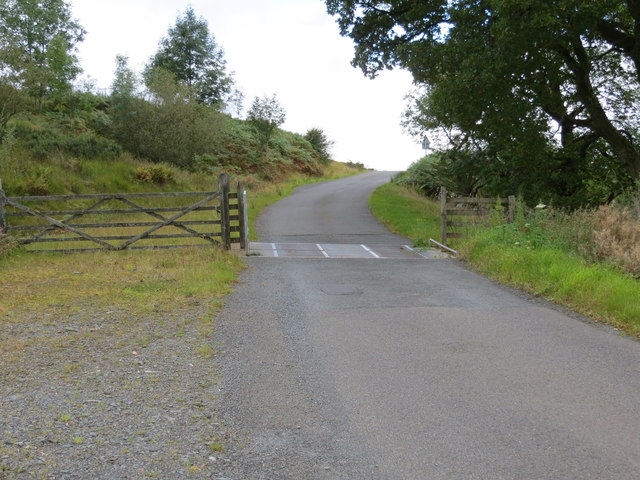
Barskeoch Hill Images
Images are sourced within 2km of 55.125185/-4.22269 or Grid Reference NX5883. Thanks to Geograph Open Source API. All images are credited.


Barskeoch Hill is located at Grid Ref: NX5883 (Lat: 55.125185, Lng: -4.22269)
Unitary Authority: Dumfries and Galloway
Police Authority: Dumfries and Galloway
What 3 Words
///vegetable.fruits.masses. Near Bellsbank, East Ayrshire
Nearby Locations
Related Wikis

Waukers Linn
Waukers Linn is a waterfall on Polharrow Burn in Dumfries and Galloway, Scotland. == See also == Waterfalls of Scotland == References ==

Polharrow Burn
Polharrow Burn is a small watercourse in Dumfries and Galloway, Scotland, in the historic county of Kirkcudbrightshire. It rises in Loch Harrow and flows...

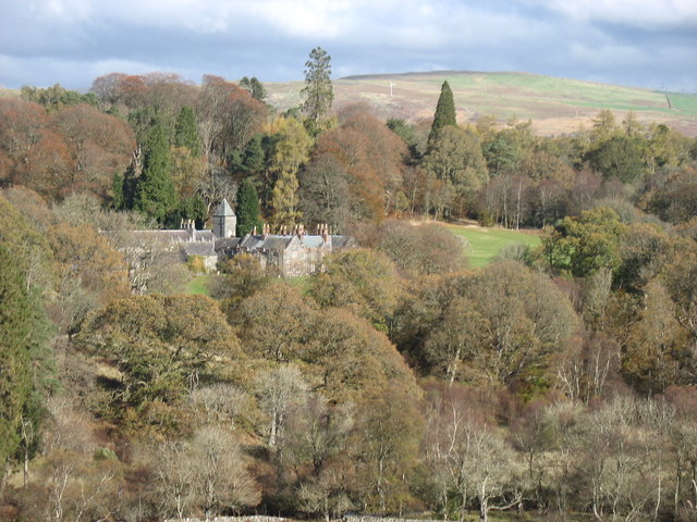
Earlstoun Castle
Earlstoun Castle, sometimes spelled Earlston Castle, is a derelict tower house near St John's Town of Dalry in Dumfries and Galloway, Scotland. Built in...

St John's Town of Dalry
St John's Town of Dalry (Scottish Gaelic: Clachan Eòin), usually referred to simply as Dalry (/dæl'raɪ/ / 'dal-RYE'), is a village in Dumfries and Galloway...
Have you been to Barskeoch Hill?
Leave your review of Barskeoch Hill below (or comments, questions and feedback).