An Staonaig

Hill, Mountain in Inverness-shire

Scotland

An Staonaig

High Moorland in the rain Looking West Photo was taken on moorland west of Carn Donnachaidh Beag. The mountain in the background is the 838m above Allt Cam Ban. The rain started at 3:30 pm when I was 810m up Carn Donnachaidh Beag at the most easterly part of walk, which meant I had to go 6km over moor and another 6.5km of track before reaching my car. Happy days! It rained all the way.
High Moorland in the rain Looking West Credit: Sarah McGuire

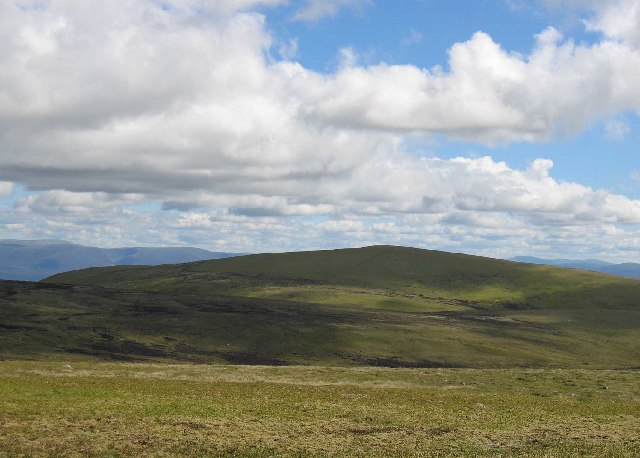
An Staonaig is a prominent hill located in Inverness-shire, Scotland. It is part of the stunning Scottish Highlands and stands at an elevation of approximately 563 meters (1,847 feet). The hill is situated near the village of Fort Augustus, offering breathtaking views of the surrounding landscape.

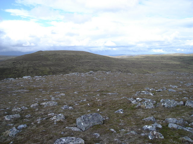
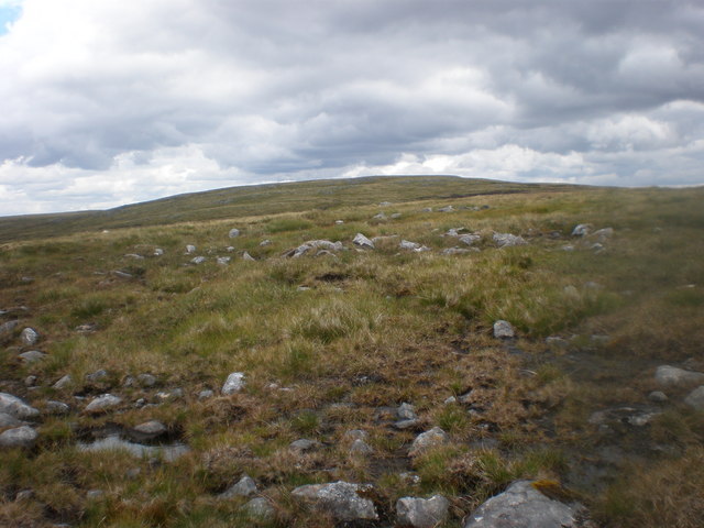
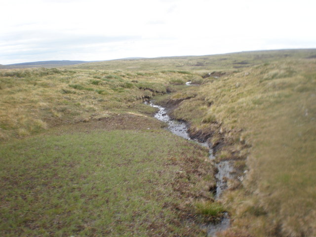
An Staonaig is known for its rugged terrain, featuring rocky slopes and grassy areas. It is a popular destination for hikers and outdoor enthusiasts looking to explore the Scottish Highlands. The hill offers various walking trails, ranging in difficulty, allowing visitors to choose one that suits their fitness level.

At the summit of An Staonaig, hikers are rewarded with panoramic views of the surrounding countryside. On a clear day, the vista stretches across the vast expanse of Loch Ness, with its deep blue waters shimmering in the distance. The hill also offers stunning views of the Caledonian Canal, which runs through the Great Glen, connecting the east and west coasts of Scotland.

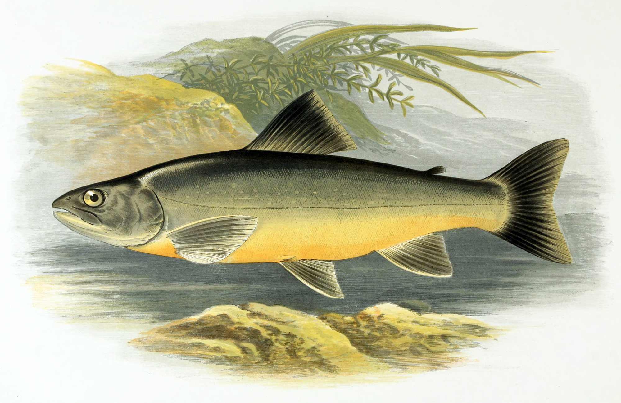
An Staonaig is home to a variety of wildlife, including red deer, golden eagles, and various species of birds. The hill is part of a larger natural habitat, providing a haven for these animals and contributing to the rich biodiversity of the region.

Overall, An Staonaig is a picturesque hill in Inverness-shire, offering visitors the opportunity to immerse themselves in the stunning natural beauty of the Scottish Highlands.

If you have any feedback on the listing, please let us know in the comments section below.

An Staonaig Images

Images are sourced within 2km of 57.122181/-4.3421485 or Grid Reference NH5805. Thanks to Geograph Open Source API. All images are credited.

High Moorland in the rain Looking West Photo was taken on moorland west of Carn Donnachaidh Beag. The mountain in the background is the 838m above Allt Cam Ban. The rain started at 3:30 pm when I was 810m up Carn Donnachaidh Beag at the most easterly part of walk, which meant I had to go 6km over moor and another 6.5km of track before reaching my car. Happy days! It rained all the way.
High Moorland in the rain Looking West
Photo was taken on moorland west of Carn Donnachaidh Beag. The mountain in the background is the 838m above Allt Cam Ban. The rain started at 3:30 pm when I was 810m up Carn Donnachaidh Beag at the most easterly part of walk, which meant I had to go 6km over moor and another 6.5km of track before reaching my car. Happy days! It rained all the way.
Looking northeast towards Burrach Mor from 801m top
Burn Descending to Allt Cam Bàn Shooting butts cross the burn at different heights. I had to descend quite a distance towards Allt Cam Bàn to cross this burn.
Burn Descending to Allt Cam Bàn
Shooting butts cross the burn at different heights. I had to descend quite a distance towards Allt Cam Bàn to cross this burn.
Allt Cam Bàn Crossing Grouse Moor The Allt Cam Bàn tributaries from An Staonaig can be seen coming down moor to join Allt Cam Bàn.  The line of shooting butts can be seen following the burns  as well as the argo track which services the butts.  All going to An Staonaig.  Perfect Grouse Moor although I never saw a grouse today.
Allt Cam Bàn Crossing Grouse Moor
The Allt Cam Bàn tributaries from An Staonaig can be seen coming down moor to join Allt Cam Bàn. The line of shooting butts can be seen following the burns as well as the argo track which services the butts. All going to An Staonaig. Perfect Grouse Moor although I never saw a grouse today.
Allt Cam Bàn Below Grouse Moor The hills in the background seem to be the watershed for Allt Cam Bàn. I followed it round to where it took a sharp turn north. As the track had stopped just to the right of the photo I didn't know what was happening.
Allt Cam Bàn Below Grouse Moor
The hills in the background seem to be the watershed for Allt Cam Bàn. I followed it round to where it took a sharp turn north. As the track had stopped just to the right of the photo I didn't know what was happening.
Shooting Butts Coming up from Allt Cam Bàn These Butts crossed shoulder of 801m top tacking advantage of the many burns and springs in the area
Shooting Butts Coming up from Allt Cam Bàn
These Butts crossed shoulder of 801m top tacking advantage of the many burns and springs in the area
Looking SW Across Allt Cam Bàn The clouds lifted and I could see the dam in the distance.  The grouse moor argo track took  me back up hill towards 801m top
Looking SW Across Allt Cam Bàn
The clouds lifted and I could see the dam in the distance. The grouse moor argo track took me back up hill towards 801m top
Grouse Moor Beside Allt Cam Bàn The argo track coming up from the Allt Cam Bàn can be seen in the foreground. Allt Cam Bàn turns in towards bealach between 801m top Burrach Mòr here. The hills in the background, just across the Allt Cam Bàn, are part of the plateau which stretches right across the Monadhlaith mountains.
Grouse Moor Beside Allt Cam Bàn
The argo track coming up from the Allt Cam Bàn can be seen in the foreground. Allt Cam Bàn turns in towards bealach between 801m top Burrach Mòr here. The hills in the background, just across the Allt Cam Bàn, are part of the plateau which stretches right across the Monadhlaith mountains.
Shooting Butts Crossing 801m Top Looking NE towards top the shooting butts can be seen following same direction across moor.
Shooting Butts Crossing 801m Top
Looking NE towards top the shooting butts can be seen following same direction across moor.
Tracks crossing bog beside Allt Coire an Eich
Looking SE from 822m shelter cairn
Peat Bog south end of An Staonaig
Tributary of Allt Cam Bàn on An Staonaig
Looking up to Carn Donnachaidh Beag from start of Allt Mòr Most of the walk on this moorland is over 800m. I zig-zagged across moor for 5km and the only things other than the occasional burn was peat field, bogs, rocky outcrops and peat haggs.
Looking up to Carn Donnachaidh Beag from start of Allt Mòr
Most of the walk on this moorland is over 800m. I zig-zagged across moor for 5km and the only things other than the occasional burn was peat field, bogs, rocky outcrops and peat haggs.
One of the many tributaries of Allt Cam Bàn north of Carn Donnachaidh Beag The whole area is a watershed for Allt Cam Bàn
One of the many tributaries of Allt Cam Bàn north of Carn Donnachaidh Beag
The whole area is a watershed for Allt Cam Bàn
Allt Cam Bàn Tributary going north West of Sgaraman nam Fiadh
Allt Cam Bàn Tributary going north
West of Sgaraman nam Fiadh
Allt Cam nan Cròc heading towards Burrach Mòr
Path coming down beside Allt Cam Ban gorge
Show me another place!

An Staonaig is located at Grid Ref: NH5805 (Lat: 57.122181, Lng: -4.3421485)

Unitary Authority: Highland

Police Authority: Highlands and Islands

What 3 Words

///dodging.adjusting.recipient. Near Newtonmore, Highland

Nearby Locations

An Staonaig

Related Wikis

Càrn Dearg, Monadh Liath

Càrn Dearg is the highest peak of the Monadh Liath mountains in the Highlands of Scotland. Its eastern flanks slope steeply down into Glen Ballach, while...

Loch Killin

Loch Killin is a small freshwater loch in the Monadhliath Mountains, in Highland, Scotland, United Kingdom. == Geography == The loch is about 1.2 miles...

A' Chailleach (Monadhliath Mountains)

A' Chailleach (Scottish Gaelic for 'the old woman or Cailleach') is one of the Monadhliath Mountains of Scotland. It lies 7 km (4.3 mi) northwest of Newtonmore...

Have you been to An Staonaig?

Leave your review of An Staonaig below (or comments, questions and feedback).