Brow Hill
Hill, Mountain in Ayrshire
Scotland
Brow Hill

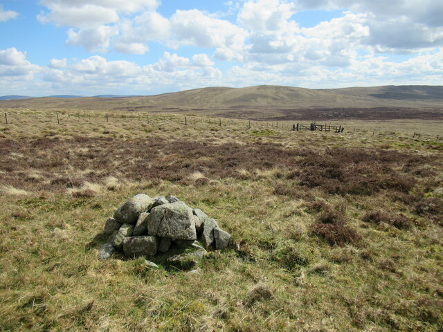
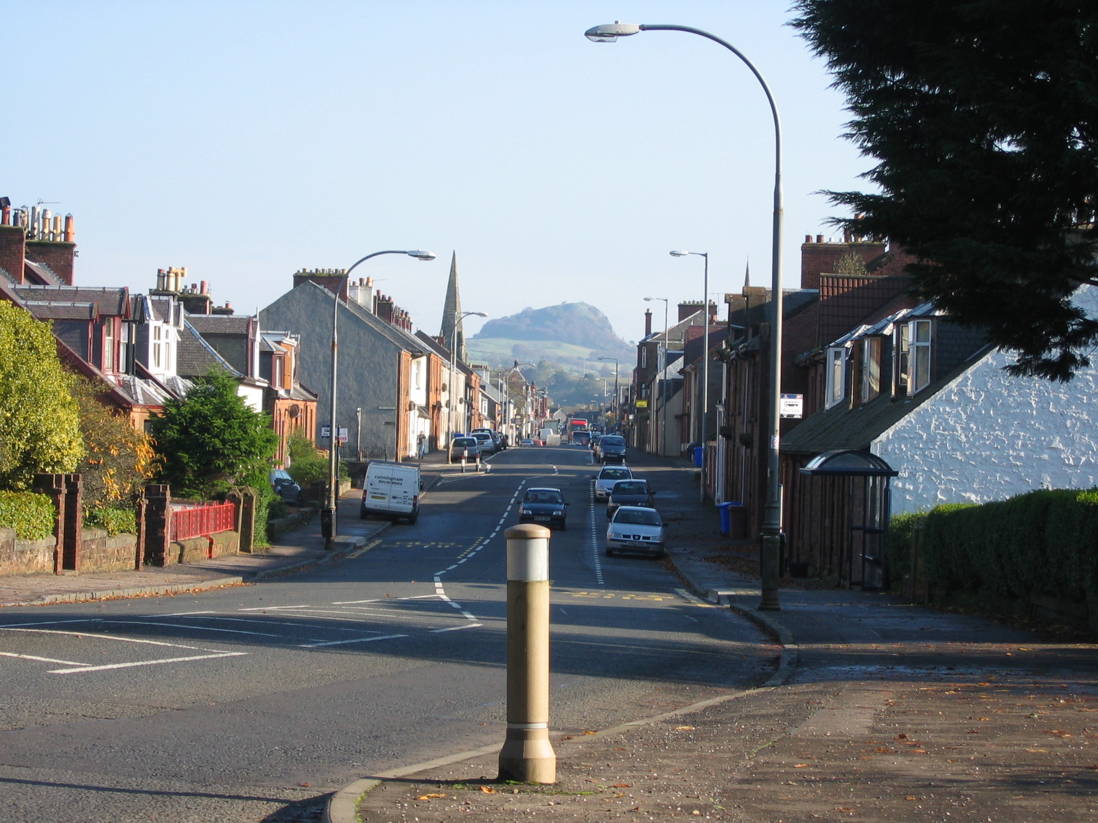
Brow Hill is a prominent hill located in Ayrshire, Scotland. Situated near the village of Straiton, it is part of the Carrick Hills range and is a popular destination for hikers and nature enthusiasts. The hill stands at an elevation of around 425 meters (1,394 feet), offering stunning panoramic views of the surrounding countryside.
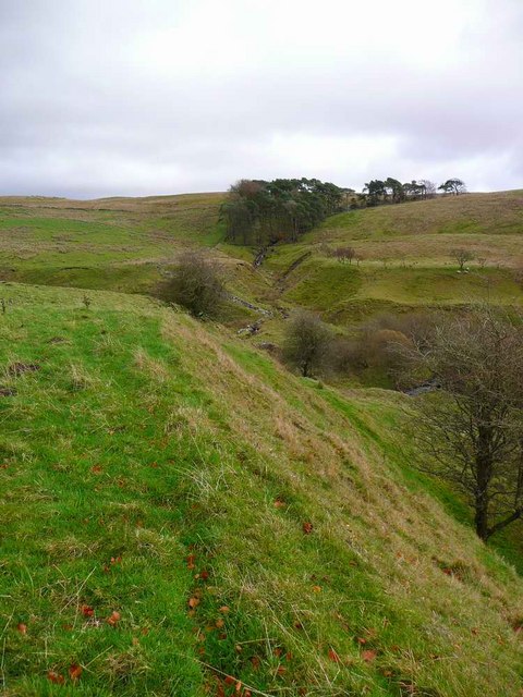
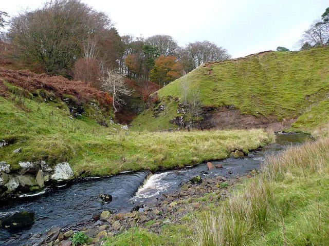
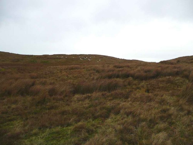
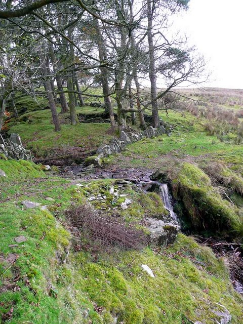
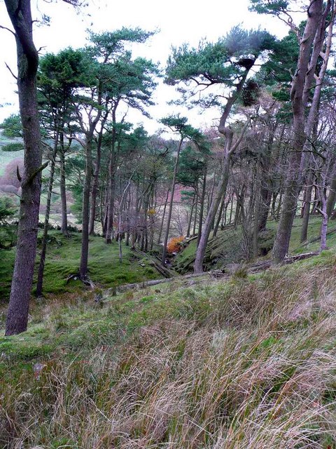
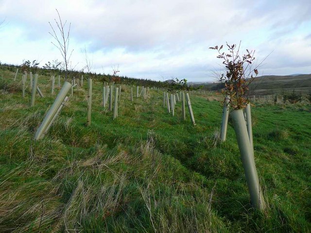
The terrain of Brow Hill is mostly comprised of heather moorland, with scattered patches of woodland and rocky outcrops. The hill is known for its diverse flora and fauna, including various species of birds, mammals, and plant life. It is not uncommon to spot red grouse, buzzards, and mountain hares in the area.
There are several well-marked trails and paths that lead to the summit of Brow Hill, providing visitors with different options based on their hiking abilities and preferences. The routes are generally moderate in difficulty, with some steep sections and uneven terrain. Along the way, hikers can enjoy the peacefulness of the surroundings and may encounter wildflowers and other wildlife.
Reaching the summit of Brow Hill rewards visitors with breathtaking views of the surrounding Ayrshire countryside, including the rolling hills, fields, and distant mountains. On clear days, the views extend all the way to the coast, where the Firth of Clyde meets the Irish Sea.
Overall, Brow Hill in Ayrshire is a picturesque and accessible hill that offers visitors a chance to immerse themselves in the natural beauty of the Scottish countryside and enjoy stunning views from its summit.
If you have any feedback on the listing, please let us know in the comments section below.
Brow Hill Images
Images are sourced within 2km of 55.579483/-4.2532808 or Grid Reference NS5834. Thanks to Geograph Open Source API. All images are credited.


Brow Hill is located at Grid Ref: NS5834 (Lat: 55.579483, Lng: -4.2532808)
Unitary Authority: East Ayrshire
Police Authority: Ayrshire
What 3 Words
///boomed.loft.timed. Near Darvel, East Ayrshire
Nearby Locations
Related Wikis
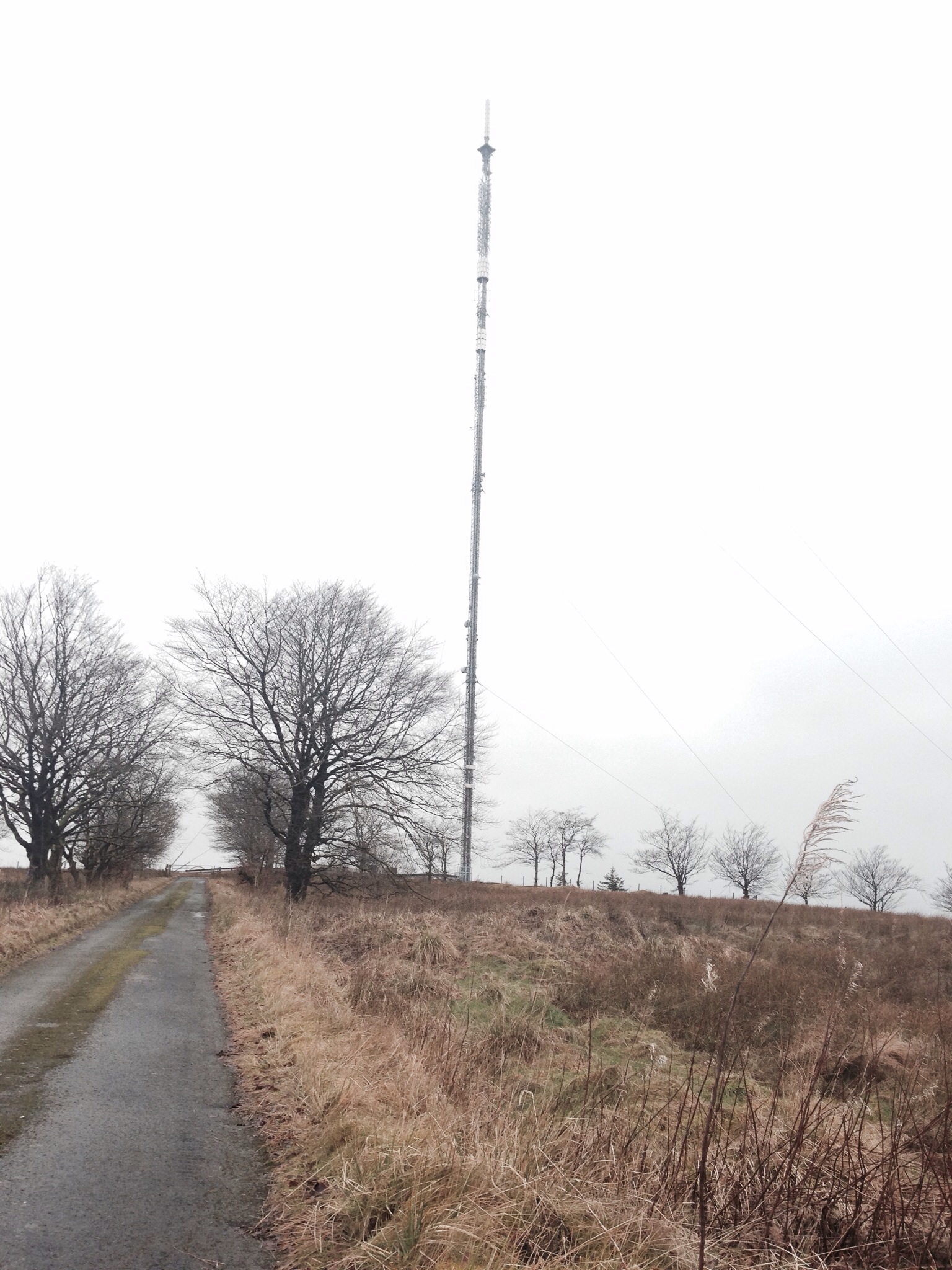
Darvel transmitting station
Darvel transmitting station is a broadcasting and telecommunications facility located near Darvel, East Ayrshire, Scotland (grid reference NS5567234132...

Kilmarnock and Loudoun (UK Parliament constituency)
Kilmarnock and Loudoun is a county constituency of the House of Commons of the Parliament of the United Kingdom. It elects one Member of Parliament (MP...

Priestland
Priestland is a village in East Ayrshire, Scotland. It has a population of 121 (Census 2001) and lies on the A71, around two miles west of Loudoun Hill...
Darvel F.C.
Darvel Football Club are a Scottish football club based in the town of Darvel, Ayrshire. Nicknamed "The Vale" and formed in 1889, the club play at Recreation...
Darvel
Darvel (Scots: Dairvel, Scottish Gaelic: Darbhail) is a small town in East Ayrshire, Scotland. It is at the eastern end of the Irvine Valley and is sometimes...
Loudounhill railway station
Loudounhill (NS 60268 37191) was a railway station on the Darvel and Strathaven Railway serving a rural area that included the landmark of Loudoun Hill...

Darvel Town Hall
Darvel Town Hall is a municipal building in West Main Street, Darvel, East Ayrshire, Scotland. The structure, which is used as a library and a community...
Darvel Music Festival
Darvel Music Festival is a music festival that has been held in the town of Darvel, East Ayrshire, Ayrshire, Scotland, since 2002. The Darvel Music Festival...
Nearby Amenities
Located within 500m of 55.579483,-4.2532808Have you been to Brow Hill?
Leave your review of Brow Hill below (or comments, questions and feedback).