Beinn Liath
Hill, Mountain in Perthshire
Scotland
Beinn Liath
Beinn Liath, also known as Beinn Liath Mhor, is a prominent hill located in the southern Highlands of Scotland, specifically in Perthshire. Sitting at an elevation of 916 meters (3,005 feet), it is considered a Munro, which means it qualifies as one of the 282 Scottish mountains with a height exceeding 3,000 feet.
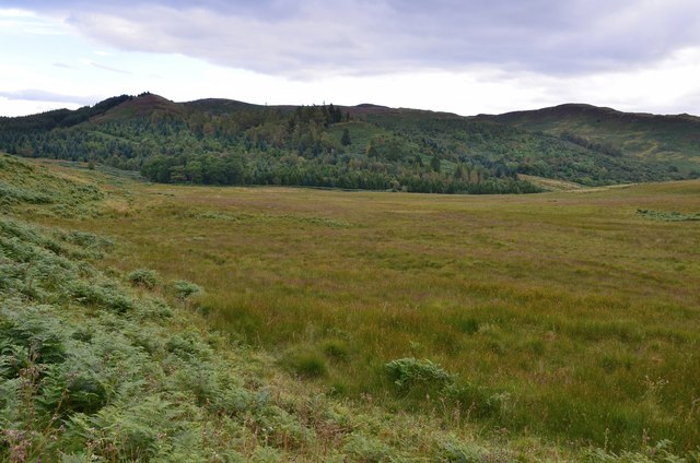
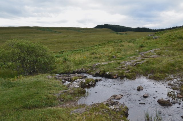
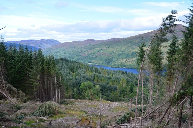
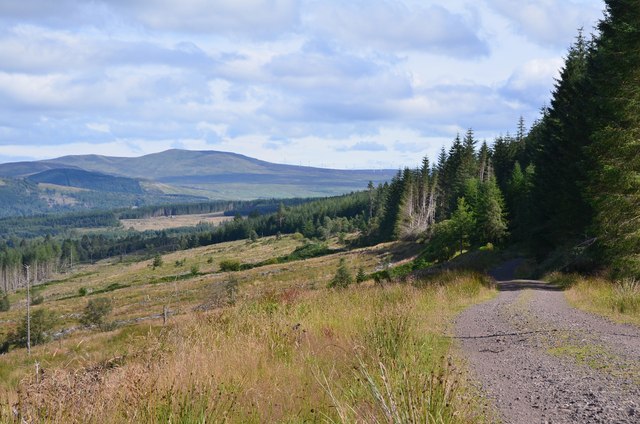
The hill is situated in a remote area, northwest of Bridge of Orchy and northeast of Tyndrum, within the Loch Lomond and the Trossachs National Park. Beinn Liath is part of the Black Mount range, which stretches across Rannoch Moor. It is surrounded by picturesque landscapes, including moorland, lochs, and glens, making it an attractive destination for hikers, mountaineers, and nature enthusiasts.
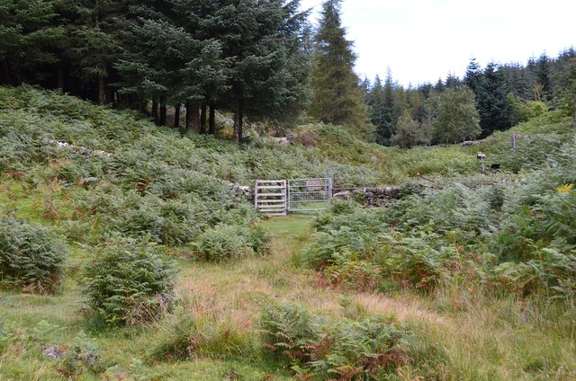
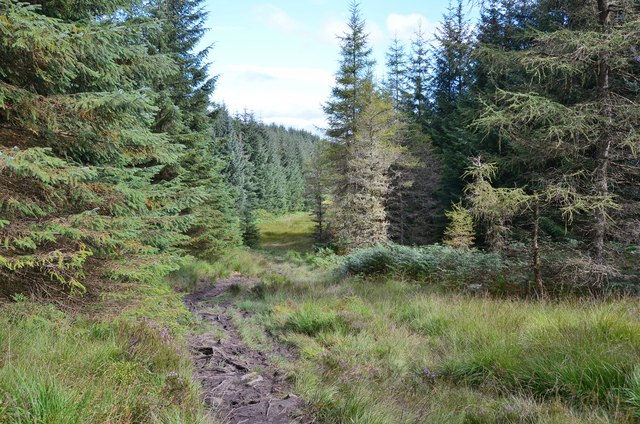
The ascent to Beinn Liath is relatively challenging, with steep slopes and rocky terrain, but it rewards climbers with stunning panoramic views of the surrounding mountains, such as Stob a' Choire Odhair and Stob Ghabhar. The hill is often climbed together with its neighboring peaks as part of longer hiking routes, providing a more comprehensive experience of the region's natural beauty.
Due to its remote location, Beinn Liath offers a sense of solitude and tranquility, allowing visitors to immerse themselves in the peacefulness of the Scottish Highlands. The hill is home to a variety of wildlife, including deer and birds, adding to the natural allure of the area.
In summary, Beinn Liath is a noteworthy hill in Perthshire, Scotland, offering challenging but rewarding hikes, breathtaking scenery, and a chance to connect with the serene wilderness of the southern Highlands.
If you have any feedback on the listing, please let us know in the comments section below.
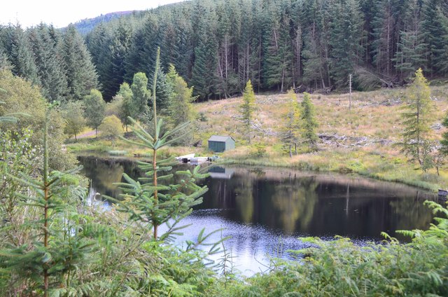
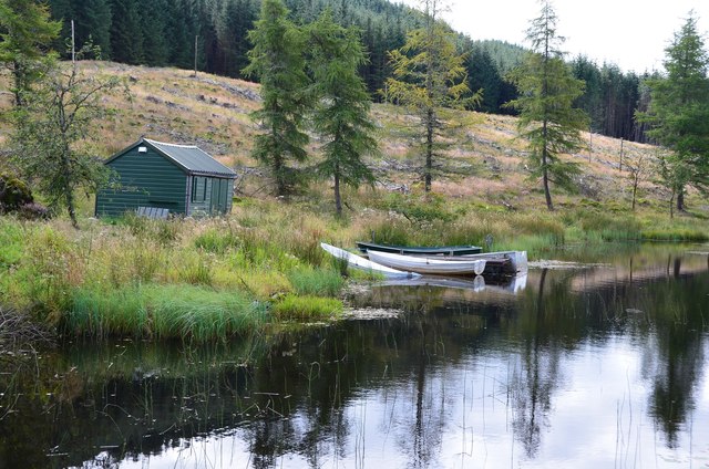
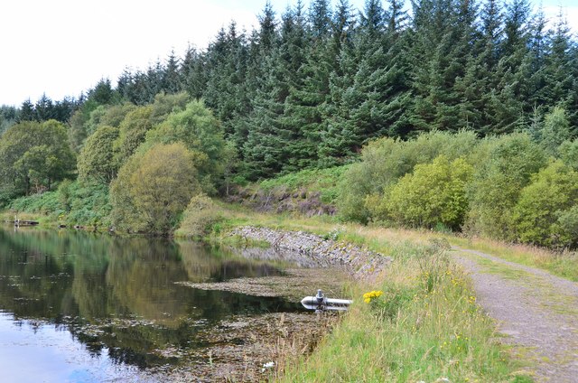
Beinn Liath Images
Images are sourced within 2km of 56.205955/-4.2941103 or Grid Reference NN5703. Thanks to Geograph Open Source API. All images are credited.


Beinn Liath is located at Grid Ref: NN5703 (Lat: 56.205955, Lng: -4.2941103)
Unitary Authority: Stirling
Police Authority: Forth Valley
What 3 Words
///pinks.waggled.folk. Near Callander, Stirling
Nearby Locations
Related Wikis

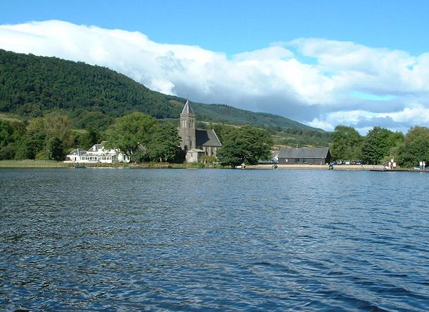
Loch Venachar
Loch Venachar (Scottish Gaelic: Loch Bheannchair) is a freshwater loch in Stirling district, Scotland. == Geography == The loch is situated between Callander...
Port of Menteith
Port of Menteith (Scottish Gaelic: Port Loch Innis Mo Cholmaig) is a village and civil parish in the Stirling district of Scotland, the only significant...

Eas Gobhain
Eas Gobhain is a river in the Trossachs of Scotland just west of Callander . It is the outflow of Loch Venachar and joins with Garbh Uisge west of Callander...

Inchmahome
Inchmahome, an anglicisation of Innis Mo Cholmaig ("my-Colmac's island"), is the largest of three islands in the Lake of Menteith, in Stirlingshire....
Nearby Amenities
Located within 500m of 56.205955,-4.2941103Have you been to Beinn Liath?
Leave your review of Beinn Liath below (or comments, questions and feedback).