Western Torrs
Hill, Mountain in Devon South Hams
England
Western Torrs
Western Torrs is a prominent hill located in Devon, England. Standing at an elevation of approximately 1,000 feet (305 meters), it is considered one of the highest points in the region. The hill is part of the Dartmoor National Park, a designated area of outstanding natural beauty.
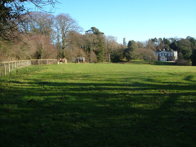
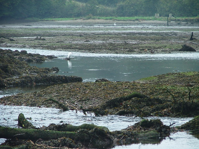
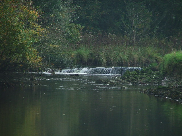
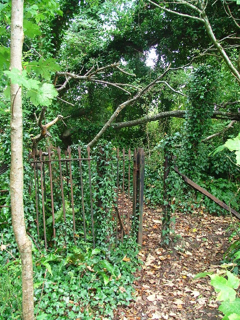
Situated in the southwestern part of Dartmoor, Western Torrs offers breathtaking panoramic views of the surrounding landscape. The hill is characterized by its rugged and rocky terrain, with large granite outcrops dotting the landscape. These outcrops, known as tors, are a distinctive feature of this area and attract many climbers and hikers.
The hill is covered with a mixture of heather, grasses, and gorse, providing a diverse habitat for various plant and animal species. It is not uncommon to spot wild ponies, sheep, and birds of prey while exploring the area.
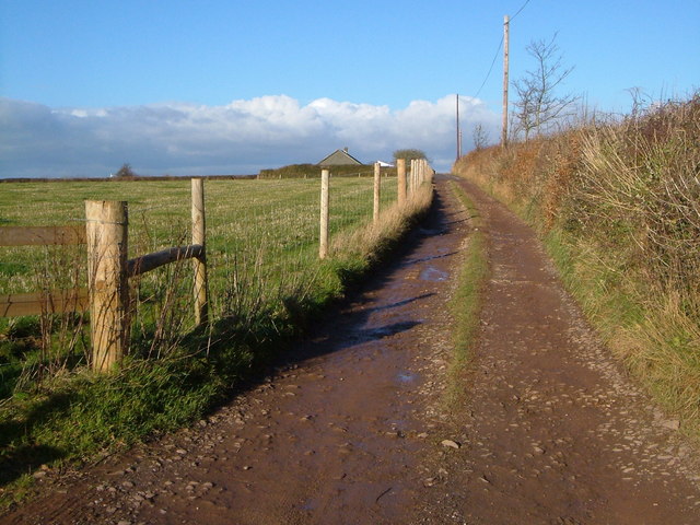
Western Torrs is a popular destination for outdoor enthusiasts, offering a range of activities such as hiking, rock climbing, and nature photography. There are several well-marked trails that lead up to the summit, allowing visitors to experience the stunning views and unique geology of the area.
Due to its location within Dartmoor National Park, Western Torrs is subject to conservation efforts to protect its natural beauty and wildlife. Visitors are encouraged to adhere to park regulations and practice responsible tourism when exploring this magnificent hill.
If you have any feedback on the listing, please let us know in the comments section below.
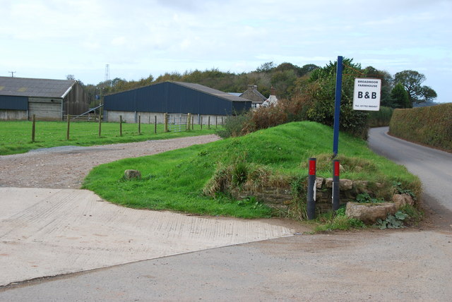
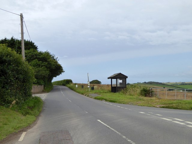
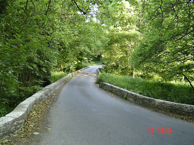
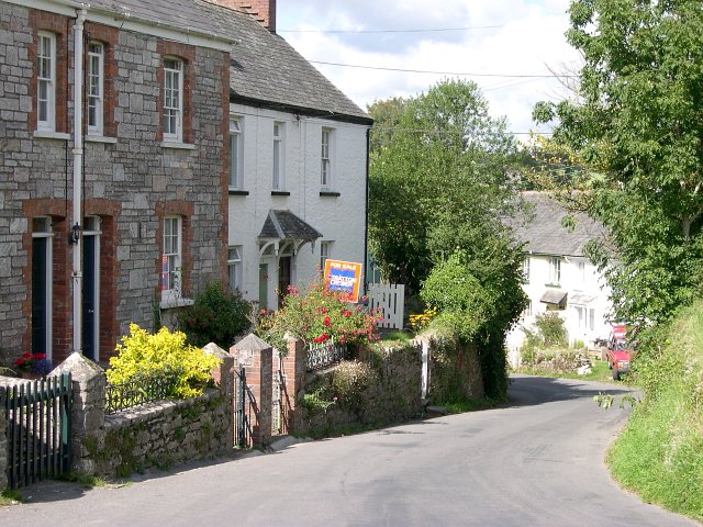
Western Torrs Images
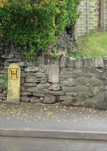
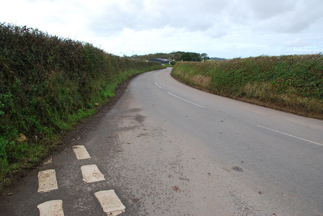
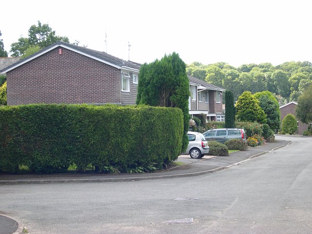
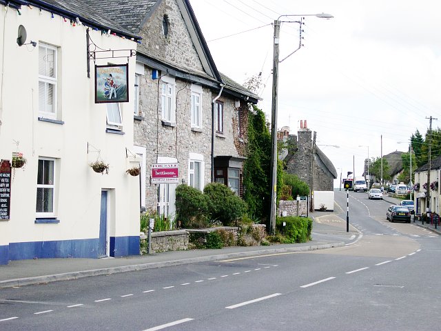
Images are sourced within 2km of 50.34471/-4.0051395 or Grid Reference SX5751. Thanks to Geograph Open Source API. All images are credited.


Western Torrs is located at Grid Ref: SX5751 (Lat: 50.34471, Lng: -4.0051395)
Administrative County: Devon
District: South Hams
Police Authority: Devon and Cornwall
What 3 Words
///blitz.encourage.gossiped. Near Yealmpton, Devon
Nearby Locations
Related Wikis
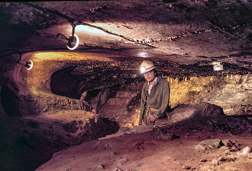
Kitley Show Cave
Kitley Show Cave is a solution cave in Yealmpton, Devon, England. Originally discovered by quarrying, it used to be open to the public as a show cave,...

Yealmpton
Yealmpton () is a village and civil parish in the English county of Devon. It is located in the South Hams on the A379 Plymouth to Kingsbridge road and...

Puslinch, Devon
Puslinch is a small but ancient rural locality to the south of Yealmpton village in the South Hams district of the county of Devon, England. The name Puslich...

Yealmpton railway station
Yealmpton station was a stone built railway station in Devon, England, and was the terminus of the Plymouth to Yealmpton Branch built to the south and...

Stamford Fort
Stamford Fort is a 19th-century fort, built as a result of the Royal Commission on National Defence of 1859. Part of an extensive scheme known as Palmerston...
Brixton, Devon
Brixton is a village, parish and former manor situated near Plymouth in Devon, England. It is located on the A379 Plymouth to Kingsbridge road and is about...
Steer Point railway station
Steer Point railway station served the village of Brixton, Devon, England, from 1898 to 1960 on the Plymouth to Yealmpton Branch. == History == The station...
Wasteberry Camp
Wasteberry Camp is an Iron Age hill fort situated close to the hamlet of Blackpool, southeast of Plympton, Devon, England. The fort is situated on a hilltop...
Nearby Amenities
Located within 500m of 50.34471,-4.0051395Have you been to Western Torrs?
Leave your review of Western Torrs below (or comments, questions and feedback).