Dumbreck
Hill, Mountain in Stirlingshire
Scotland
Dumbreck

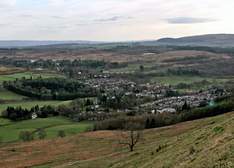
Dumbreck is a hill located in Stirlingshire, Scotland. It is situated near the village of Fintry and stands at an elevation of approximately 496 meters (1,627 feet) above sea level. The hill is a prominent feature in the area, offering breathtaking views of the surrounding landscape.
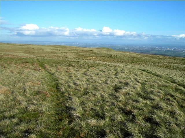
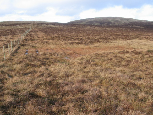
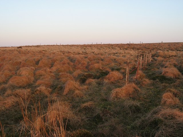
Dumbreck is a popular destination for hikers and nature enthusiasts due to its accessibility and diverse flora and fauna. Its slopes are covered with heather, grasses, and various wildflowers, creating a picturesque scene throughout the year. The hill is also home to a variety of bird species, including buzzards, kestrels, and ravens, making it an excellent spot for birdwatching.
The summit of Dumbreck provides panoramic views of the nearby Campsie Fells, Fintry Hills, and the Forth Valley. On clear days, it is even possible to catch a glimpse of the Trossachs National Park and the distant peaks of Ben Lomond.
Several footpaths and trails traverse the hill, allowing visitors to explore its slopes at their own pace. The routes vary in difficulty, catering to both experienced hikers and casual walkers. The hill is easily accessible from the nearby village, with parking facilities available for those traveling by car.
Overall, Dumbreck offers a peaceful and picturesque retreat for outdoor enthusiasts, providing stunning views, diverse wildlife, and a range of walking opportunities. Whether one seeks a challenging hike or a leisurely stroll, Dumbreck is a must-visit destination in Stirlingshire.
If you have any feedback on the listing, please let us know in the comments section below.
Dumbreck Images
Images are sourced within 2km of 56.004866/-4.289216 or Grid Reference NS5781. Thanks to Geograph Open Source API. All images are credited.


Dumbreck is located at Grid Ref: NS5781 (Lat: 56.004866, Lng: -4.289216)
Unitary Authority: East Dunbartonshire
Police Authority: Greater Glasgow
What 3 Words
///divorcing.clean.suitable. Near Strathblane, Stirling
Nearby Locations
Related Wikis

Campsie Fells
The Campsie Fells (also known as the Campsies; Scottish Gaelic: Monadh Chamaisidh) are a range of hills in central Scotland, stretching east to west from...
Blanefield
Blanefield is a settlement in Scotland contiguous with Strathblane's northwestern fringe. To the west is the volcanic plug Dumgoyne, Glengoyne Distillery...
Strathblane
Strathblane (Scottish Gaelic: Strath Bhlàthain, pronounced [s̪t̪ɾahˈvl̪ˠaː.ɪɲ]) is a village and parish in the registration county of Stirlingshire, situated...

Earl's Seat
Earl's Seat (578 m) is the highest hill of the Campsie Fells in Central Scotland. It lies on the border of Stirlingshire and East Dunbartonshire in central...
Nearby Amenities
Located within 500m of 56.004866,-4.289216Have you been to Dumbreck?
Leave your review of Dumbreck below (or comments, questions and feedback).