Crook Hill
Hill, Mountain in Renfrewshire
Scotland
Crook Hill
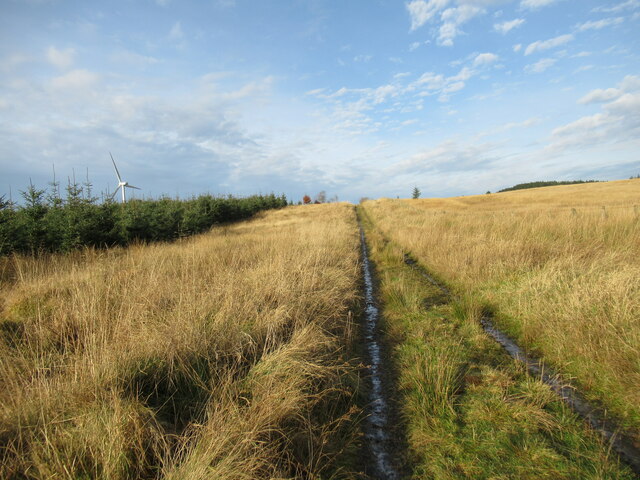
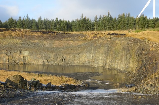
Crook Hill is a prominent hill located in Renfrewshire, Scotland. Situated in the scenic countryside, it is part of the wider Clyde Muirshiel Regional Park, which spans over 100 square miles. The hill itself stands at an elevation of approximately 355 meters (1,165 feet) above sea level, making it a notable landmark in the area.
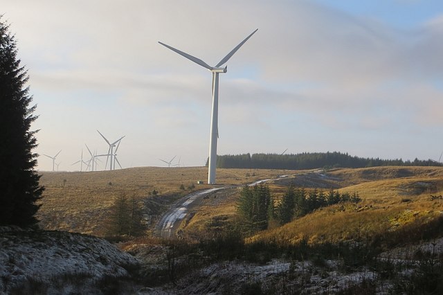
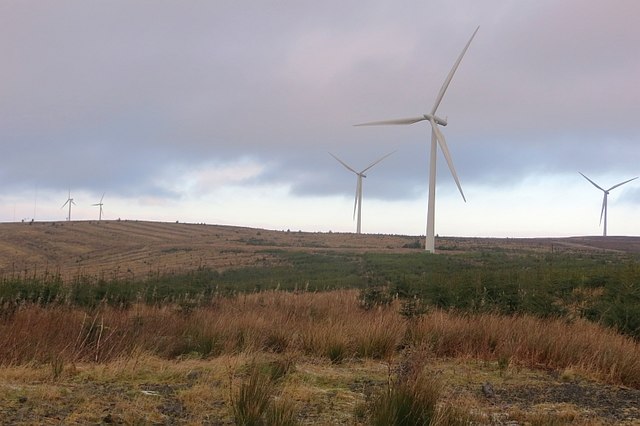
With its gentle slopes and lush greenery, Crook Hill offers breathtaking panoramic views of the surrounding countryside. From its summit, visitors can enjoy sweeping vistas of the nearby towns, rolling hills, and the meandering River Clyde. On clear days, the distant peaks of the Scottish Highlands can be seen in the distance, providing a stunning backdrop to the landscape.
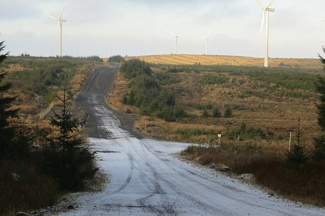
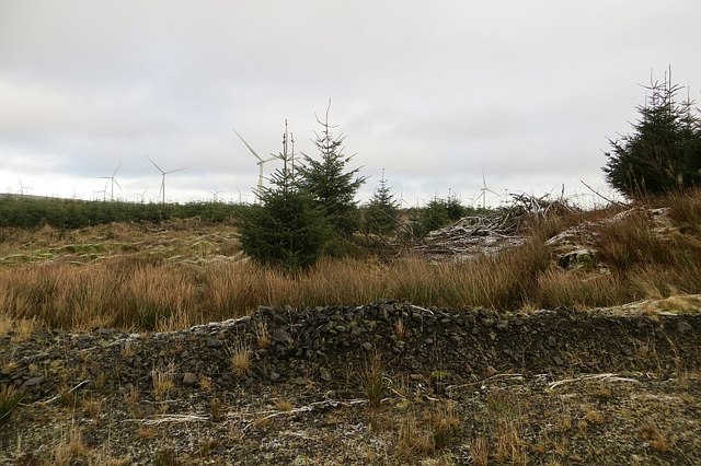
Crook Hill is a popular destination for outdoor enthusiasts and nature lovers. Hikers and walkers are drawn to its well-maintained trails, which wind their way through heather-covered moorland and dense woodland. The hill's diverse flora and fauna make it an ideal spot for wildlife observation, with birdwatchers often spotting species such as red kites, buzzards, and kestrels.
The hill is easily accessible, with several designated parking areas and well-marked paths leading to the top. It is also a favorite spot for picnickers, who can enjoy a meal amidst the tranquil surroundings.
Overall, Crook Hill is a picturesque and serene location, offering visitors the opportunity to immerse themselves in the natural beauty of Renfrewshire's countryside. Whether it's a leisurely stroll, a challenging hike, or simply soaking in the breathtaking views, this hill has something to offer for everyone.
If you have any feedback on the listing, please let us know in the comments section below.
Crook Hill Images
Images are sourced within 2km of 55.684334/-4.2718133 or Grid Reference NS5745. Thanks to Geograph Open Source API. All images are credited.


Crook Hill is located at Grid Ref: NS5745 (Lat: 55.684334, Lng: -4.2718133)
Unitary Authority: East Renfrewshire
Police Authority: Greater Glasgow
What 3 Words
///retract.guarded.defected. Near Eaglesham, East Renfrewshire
Nearby Locations
Related Wikis

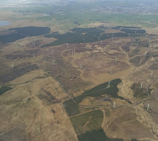
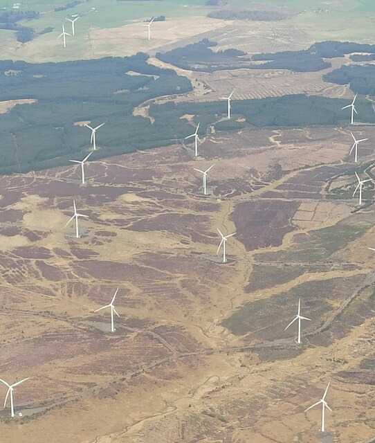
Whitelee Wind Farm
Whitelee Wind Farm is a windfarm on the Eaglesham moor in Scotland. The main visitor centre is located in East Renfrewshire, but the majority of turbines...

Corse Hill
Corse Hill is a hill located between East Renfrewshire and South Lanarkshire of Scotland. With a height of 376 m (1,234 ft), it is the highest point in...

Millhall
Millhall is a hamlet in East Renfrewshire, in the Central Lowlands of Scotland. It lies 0.8 miles (1.3 km) southeast of Eaglesham, 8.3 miles (13.4 km)...
Eaglesham
Eaglesham ( EE-gəl-səm) is a village in East Renfrewshire, Scotland, situated about 10 miles (16 km) south of Glasgow, 3 miles (5 km) southeast of Newton...
Nearby Amenities
Located within 500m of 55.684334,-4.2718133Have you been to Crook Hill?
Leave your review of Crook Hill below (or comments, questions and feedback).