Ardwall Hill
Hill, Mountain in Kirkcudbrightshire
Scotland
Ardwall Hill
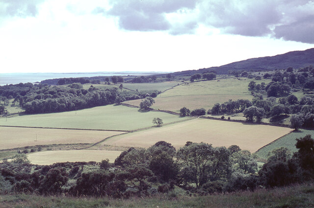
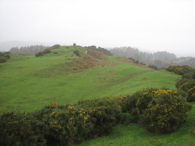
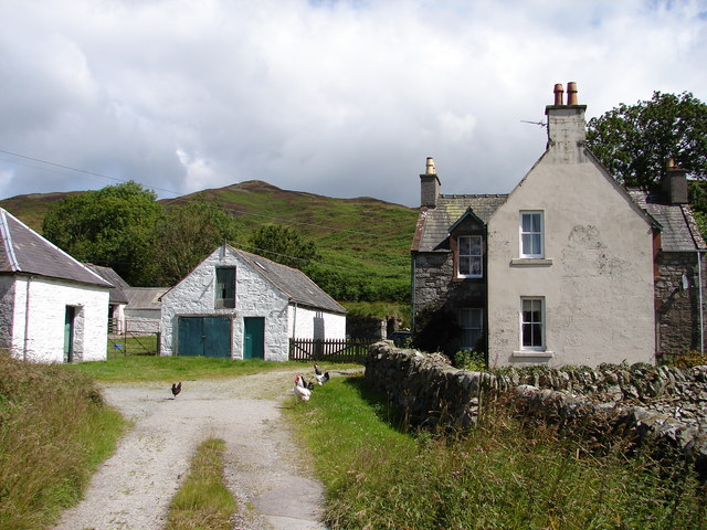
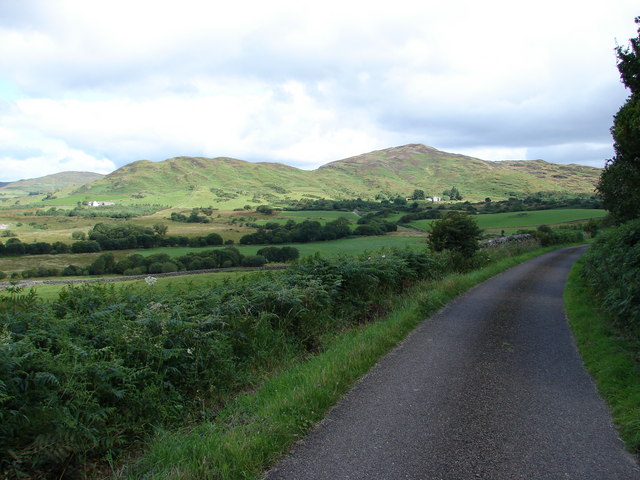
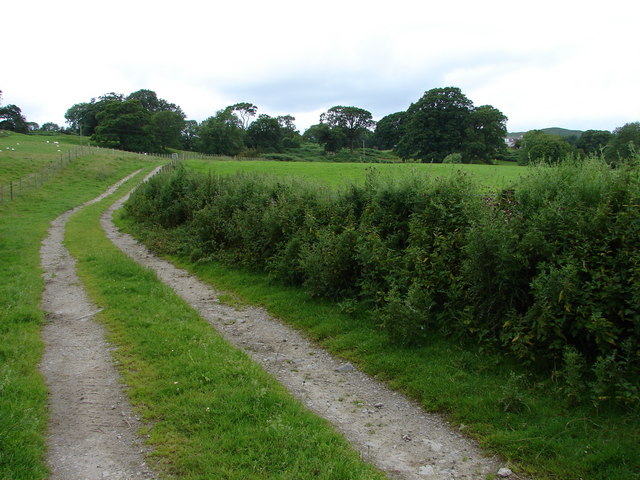
Ardwall Hill is a prominent landmark located in the historic county of Kirkcudbrightshire, Scotland. Situated near the village of Ardwall, this hill stands at an elevation of approximately 213 meters (699 feet) above sea level. It is a popular destination for hikers and nature enthusiasts looking to explore the scenic beauty of the surrounding countryside.
The hill is characterized by its distinctive shape, with a gently sloping eastern face and a steeper western slope. It is primarily composed of sedimentary rocks, including sandstone and shale, which have been shaped by natural erosion processes over millions of years.
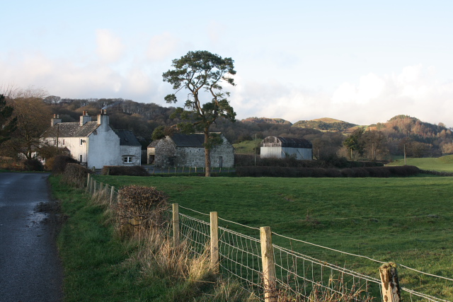
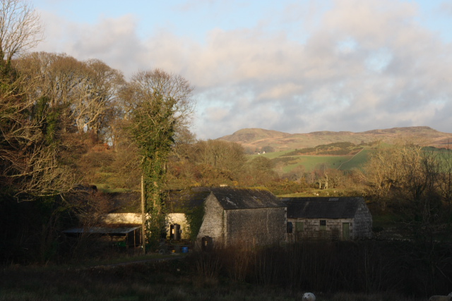
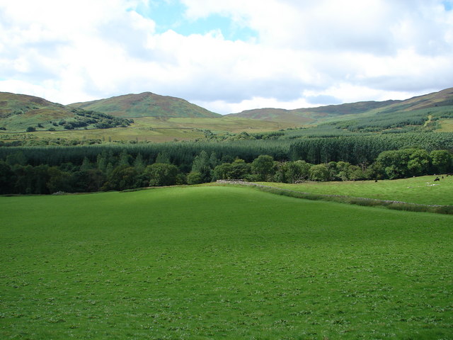
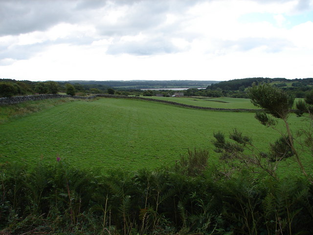
The summit of Ardwall Hill offers breathtaking panoramic views of the surrounding area, including the rolling hills, verdant farmland, and the picturesque Solway Firth. On a clear day, it is possible to see as far as the Lake District in England.
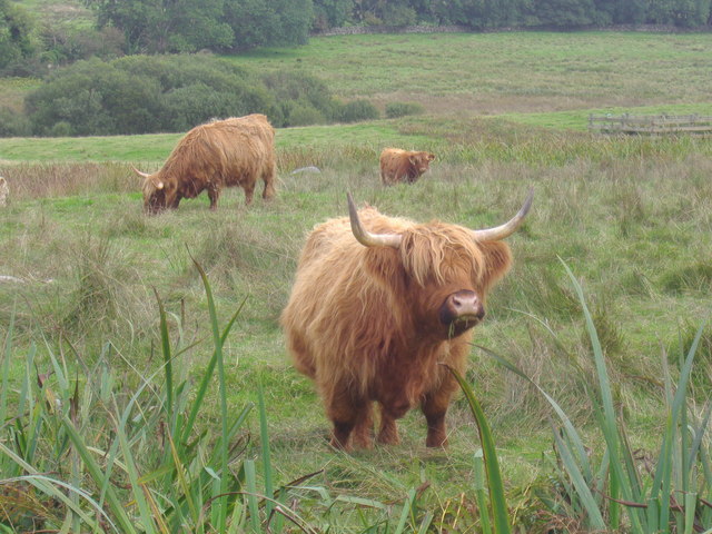
The hill is home to a diverse range of flora and fauna, with heather, gorse, and bracken covering the slopes, providing habitat for various bird species, including pheasants and grouse. The area is also known for its wildlife, with occasional sightings of deer, foxes, and hares.
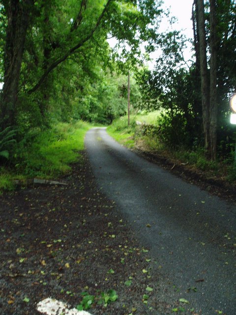
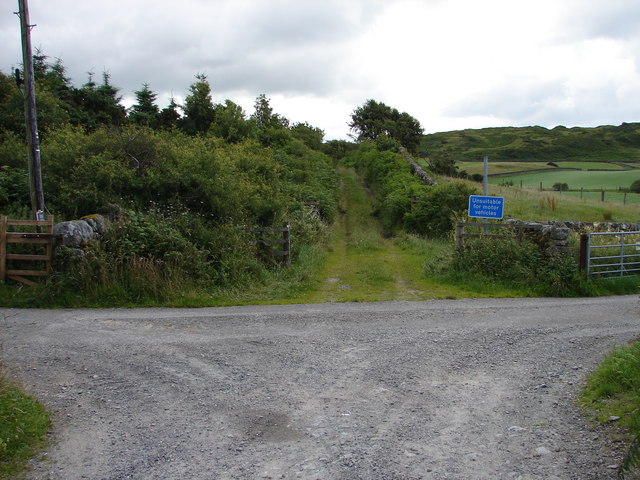
Access to Ardwall Hill is relatively easy, with a number of well-marked footpaths leading up to the summit. It is a popular spot for outdoor activities such as hiking, nature walks, and photography. Whether it's for its natural beauty or its recreational opportunities, Ardwall Hill offers a memorable experience for visitors of all ages.
If you have any feedback on the listing, please let us know in the comments section below.
Ardwall Hill Images
Images are sourced within 2km of 54.888458/-4.2279993 or Grid Reference NX5757. Thanks to Geograph Open Source API. All images are credited.
Ardwall Hill is located at Grid Ref: NX5757 (Lat: 54.888458, Lng: -4.2279993)
Unitary Authority: Dumfries and Galloway
Police Authority: Dumfries and Galloway
What 3 Words
///shipped.like.suave. Near Kirkcudbright, Dumfries & Galloway
Nearby Locations
Related Wikis
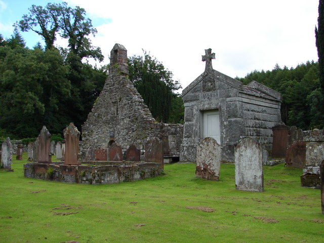
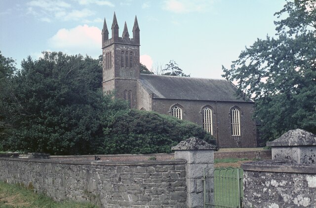
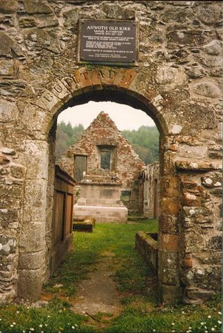
Anwoth Old Church
Anwoth Old Church is a ruined church building which was built in 1626 to serve the parish of Anwoth in the historic county of Kirkcudbrightshire in the...
Anwoth
Anwoth is a settlement near the Solway Firth in the historic county of Kirkcudbrightshire, southwest Scotland, within a parish of the same name in the...

Anwoth Parish Church
Anwoth Parish Church was built in 1826 to serve the parish of Anwoth in Dumfries and Galloway, Scotland. Designed by Walter Newall, it replaced Anwoth...

Trusty's Hill
Trusty's Hill is a small vitrified hillfort about a mile to the west of the present-day town of Gatehouse of Fleet, in the parish of Anwoth in the Stewartry...
Related Videos

Anwoth Old Kirk Castle Douglas 1st time using my GoPro
I filmed this for my brother in law who is nervous of the Wicker Man . I decided to upload it anyway . Its one of my favourite places ...

house of malts Indore new song
house of malts Indore.

Cally Palace Hotel
Mindenkonek ajánlom ezt a helyet. Nagyon szép. I highly recommend this hotel, due to It is sooo NICE!
Have you been to Ardwall Hill?
Leave your review of Ardwall Hill below (or comments, questions and feedback).