Earl's Seat
Hill, Mountain in Stirlingshire
Scotland
Earl's Seat
The requested URL returned error: 429 Too Many Requests
If you have any feedback on the listing, please let us know in the comments section below.
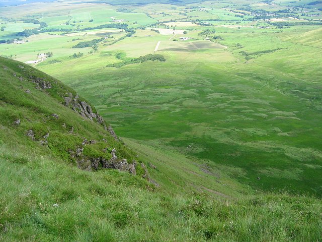
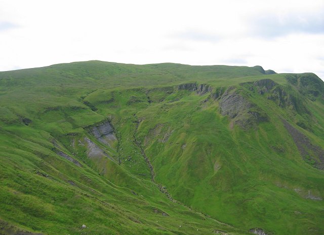
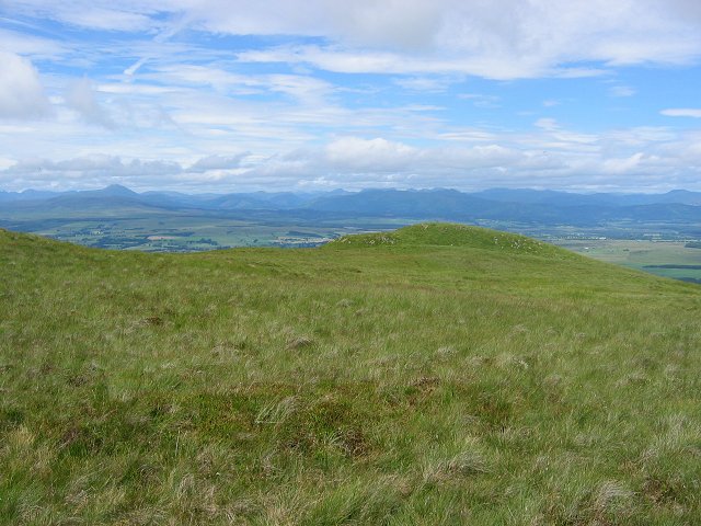
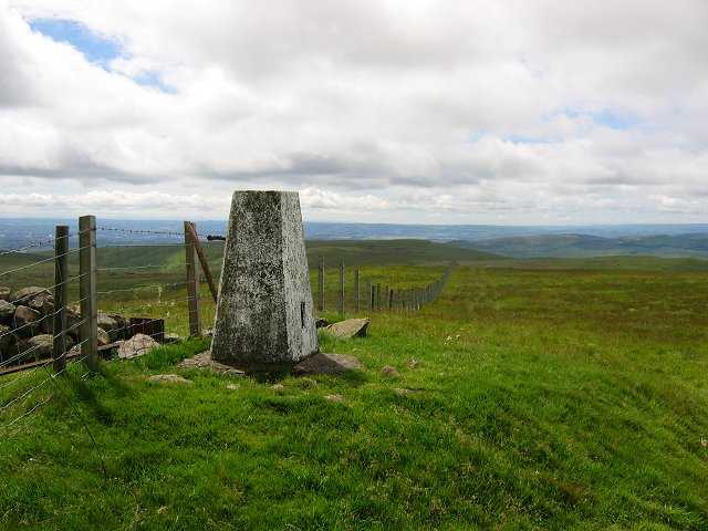
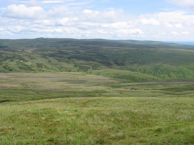
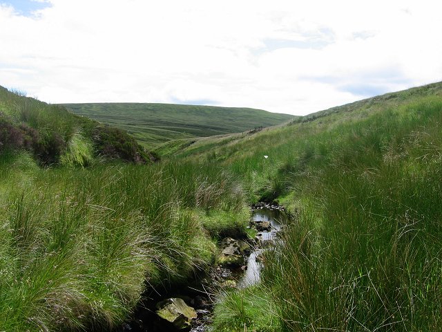
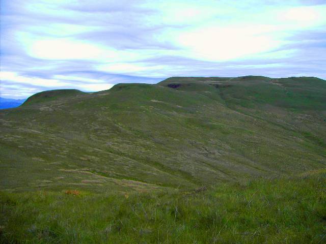
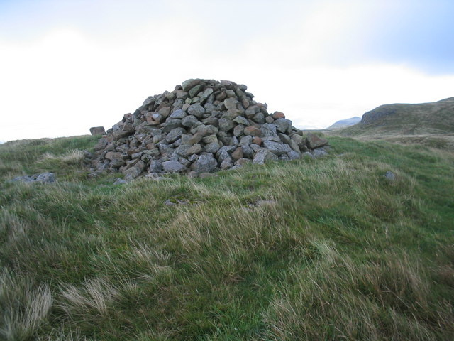
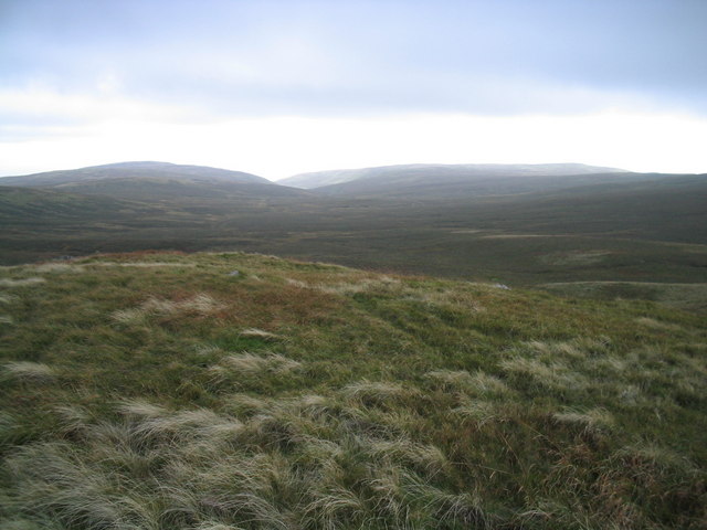
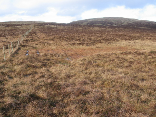
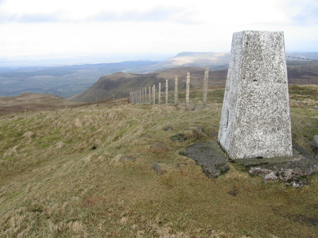
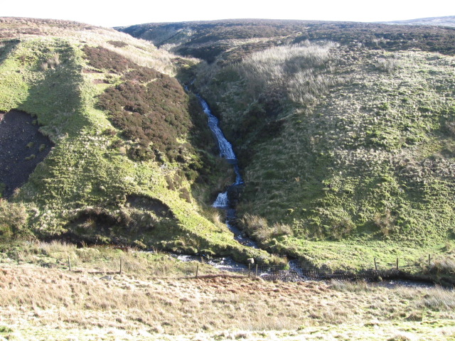
Earl's Seat Images
Images are sourced within 2km of 56.025692/-4.2963549 or Grid Reference NS5683. Thanks to Geograph Open Source API. All images are credited.


Earl's Seat is located at Grid Ref: NS5683 (Lat: 56.025692, Lng: -4.2963549)
Unitary Authority: Stirling
Police Authority: Forth Valley
What 3 Words
///skinny.skater.hazel. Near Strathblane, Stirling
Nearby Locations
Related Wikis

Earl's Seat
Earl's Seat (578 m) is the highest hill of the Campsie Fells in Central Scotland. It lies on the border of Stirlingshire and East Dunbartonshire in central...

Campsie Fells
The Campsie Fells (also known as the Campsies; Scottish Gaelic: Monads Chamaisidh) are a range of hills in central Scotland, stretching east to west from...

Dumfoyn
Dumfoyn is a hill in the Campsie Fells of Scotland. It is a volcanic plug, and rises to 426 metres (1,398 ft). It sits beside another hill, Dumgoyne which...

Dumgoyne
Dumgoyne is a hill prominent on the edge of the Campsie Fells and is a well-known landmark visible from Glasgow. It is a volcanic plug and is 427 m (1...
Nearby Amenities
Located within 500m of 56.025692,-4.2963549Have you been to Earl's Seat?
Leave your review of Earl's Seat below (or comments, questions and feedback).