Am Màm
Hill, Mountain in Ross-shire
Scotland
Am Màm
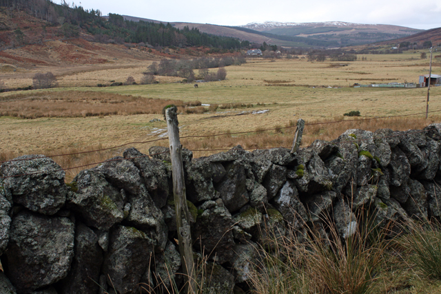
Am Màm is a prominent hill/mountain located in Ross-shire, Scotland. It is situated in the northwest part of the country, near the village of Lochcarron. Am Màm offers breathtaking views of the surrounding landscape, including Lochcarron itself and the stunning Scottish Highlands.
Standing at an impressive height of approximately 543 meters (1,781 feet), Am Màm is a prominent feature in the region. It is characterized by its rocky terrain, which adds to its rugged and majestic appearance. The hill/mountain is part of the Torridon Hills range and is a popular destination for hikers and hillwalkers who seek adventure and breathtaking vistas.
The ascent to the summit of Am Màm can be challenging, but it rewards climbers with panoramic views of the surrounding countryside. On a clear day, visitors can spot the nearby Lochcarron, with its shimmering waters reflecting the beauty of the surrounding mountains. The vastness of the Scottish Highlands stretches out in all directions, with rolling hills and glens creating a picturesque landscape.
Am Màm is also home to a diverse range of flora and fauna, with heather, mosses, and lichens adorning its slopes. Wildlife enthusiasts may have the opportunity to spot red deer, mountain hares, and various bird species during their exploration of this natural wonder.
Overall, Am Màm in Ross-shire is a captivating hill/mountain that showcases the beauty and grandeur of the Scottish Highlands. Its challenging yet rewarding ascent and stunning views make it a popular destination for outdoor enthusiasts and nature lovers alike.
If you have any feedback on the listing, please let us know in the comments section below.
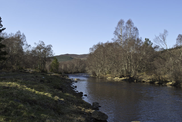
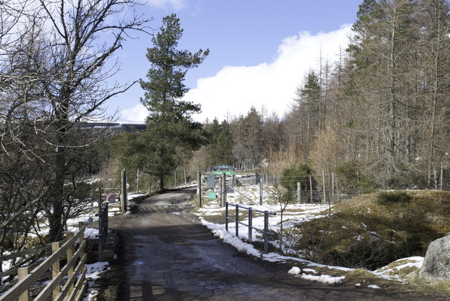
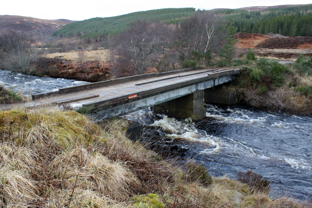
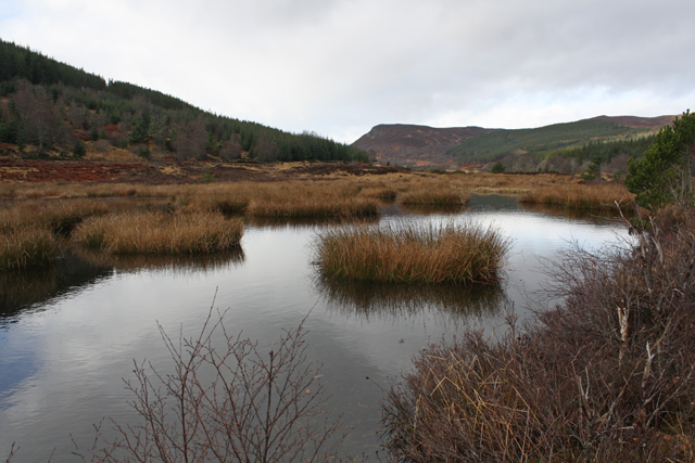
Am Màm Images
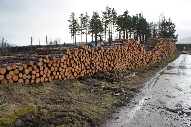
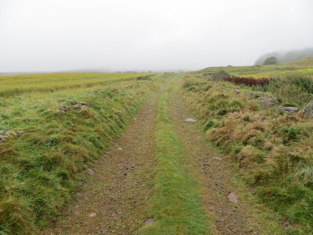
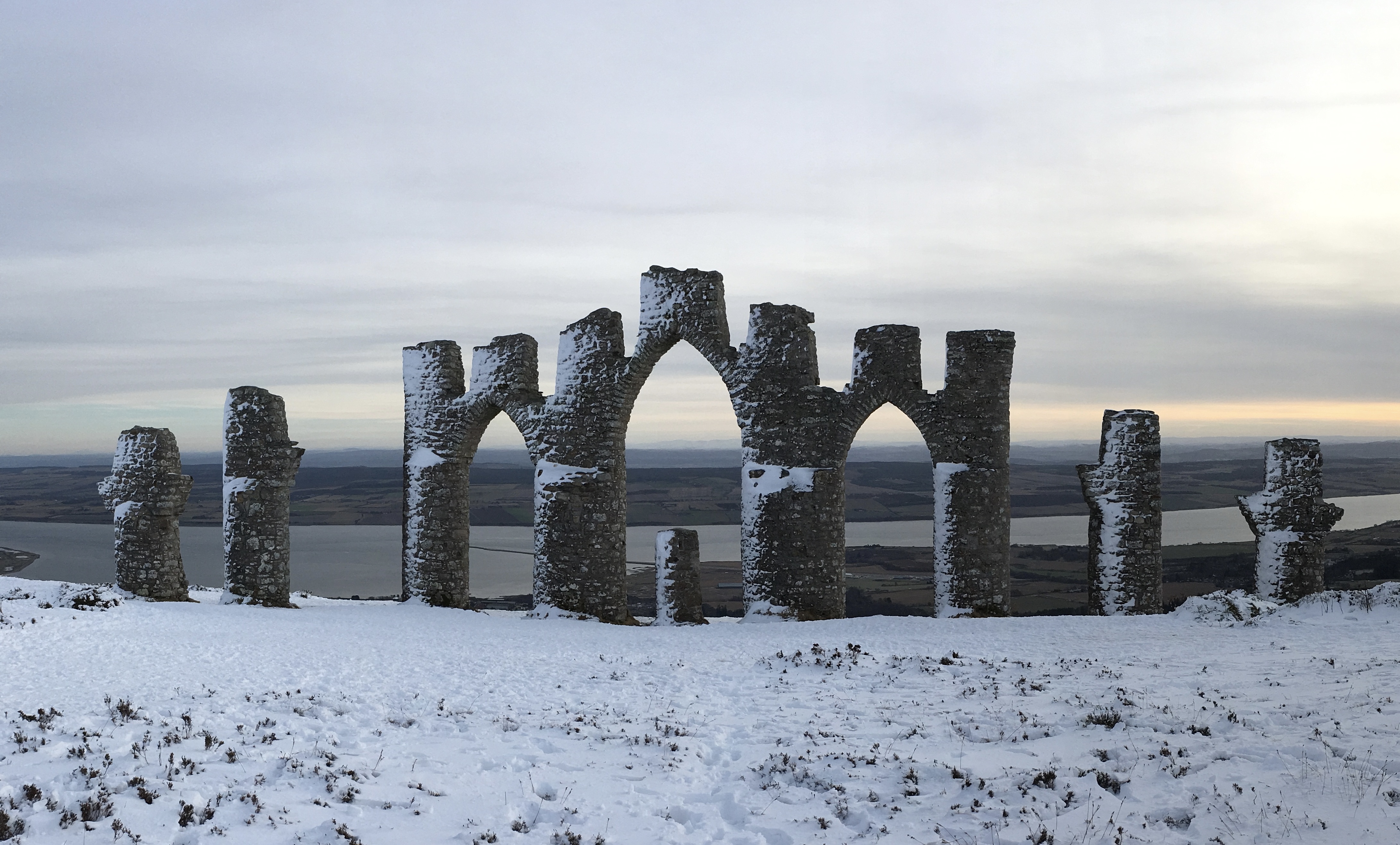
Images are sourced within 2km of 57.751869/-4.4062168 or Grid Reference NH5676. Thanks to Geograph Open Source API. All images are credited.


Am Màm is located at Grid Ref: NH5676 (Lat: 57.751869, Lng: -4.4062168)
Unitary Authority: Highland
Police Authority: Highlands and Islands
What 3 Words
///odds.grapevine.deluded. Near Evanton, Highland
Nearby Locations
Related Wikis

Strathrusdale
Strathrusdale (Brittonic or Scottish Gaelic/Old Norse Hybrid: Strath Rùsdail, Strath, [Brittonic/Gaelic] small valley, of Rusdale, rus, Norse for [male...

Ardross, Highland
Ardross (Scottish Gaelic: Àird Rois, high-point of [Easter] Ross) is a rural area in the Highland region of Scotland, 30 miles (48 km) north of the nearest...
Novar Wind Farm
Novar Wind Farm is a 50 turbine, 53.8 megawatt wind farm located in the Scottish Highlands. Constructed in 1997, Novar was of the earlier developments...
Fyrish Monument
The Fyrish Monument is a monument built in 1782 on Fyrish Hill (Scottish Gaelic: Cnoc Fhaoighris), in Fyrish in Evanton, near Alness, Easter Ross, Scotland...
Have you been to Am Màm?
Leave your review of Am Màm below (or comments, questions and feedback).