Crow Hill
Hill, Mountain in Stirlingshire
Scotland
Crow Hill
Crow Hill is a prominent hill located in Stirlingshire, Scotland. Situated within the Loch Lomond and The Trossachs National Park, it stands at an elevation of 578 meters (1,896 feet) above sea level. The hill is part of the Campsie Fells range, which is known for its stunning natural beauty and picturesque landscapes.
The ascent to Crow Hill begins from the small village of Lennoxtown, where a path leads uphill through open moorland and heather. As visitors make their way up, they are rewarded with breathtaking panoramic views of the surrounding area, including the Campsie Glen, the Endrick Valley, and the expansive Scottish countryside.
Crow Hill is a popular destination for hikers and nature enthusiasts, offering a relatively moderate climb that can be completed in a few hours. The hill provides a tranquil escape from the bustling city, allowing visitors to immerse themselves in the peacefulness of the Scottish Highlands.
Wildlife is abundant in the area, with various bird species, including crows, ravens, and peregrine falcons, often spotted soaring above the hill. The diverse flora of Crow Hill adds to its appeal, with heather, grasses, and wildflowers dotting the landscape.
In addition to its natural beauty, Crow Hill holds historical significance as well. It is home to the ruins of a prehistoric hill fort, believed to have been built during the Iron Age. The fort's remains offer insight into the area's ancient past, attracting history enthusiasts and archaeologists alike.
Overall, Crow Hill in Stirlingshire is a captivating destination that showcases the stunning Scottish countryside, offers breathtaking views, and allows visitors to connect with nature and history.
If you have any feedback on the listing, please let us know in the comments section below.
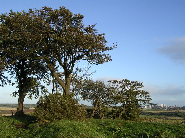
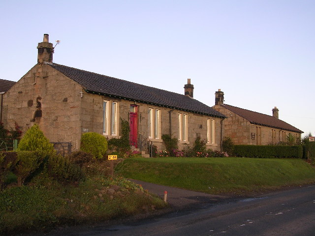
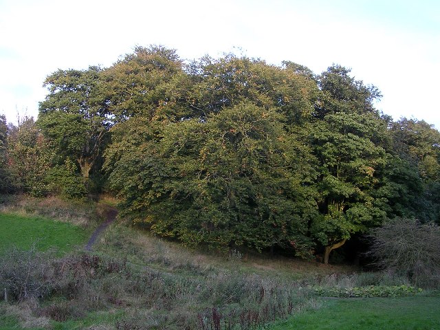
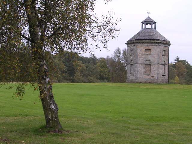
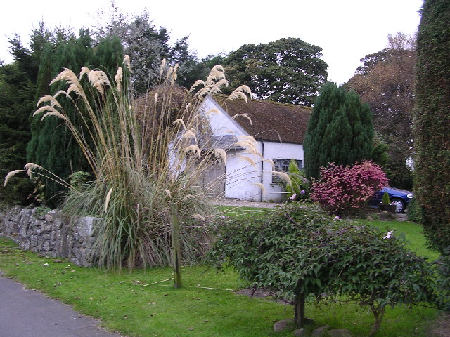
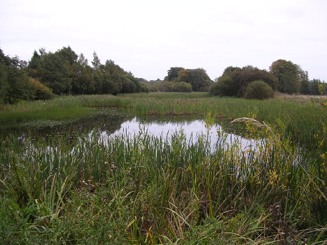
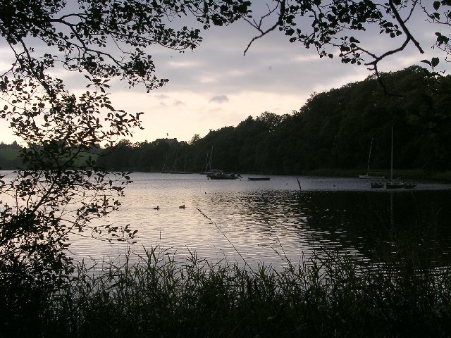
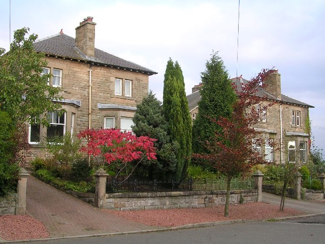
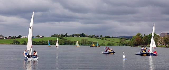
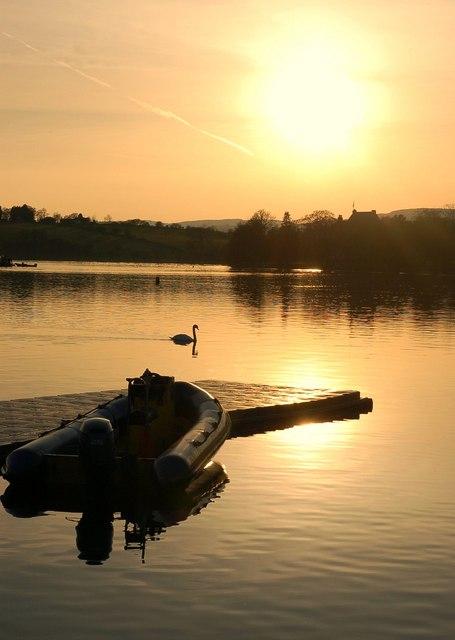
Crow Hill Images
Images are sourced within 2km of 55.92546/-4.292742 or Grid Reference NS5672. Thanks to Geograph Open Source API. All images are credited.


Crow Hill is located at Grid Ref: NS5672 (Lat: 55.92546, Lng: -4.292742)
Unitary Authority: City of Glasgow
Police Authority: Greater Glasgow
What 3 Words
///firmly.stored.daisy. Near Milngavie, East Dunbartonshire
Nearby Locations
Related Wikis
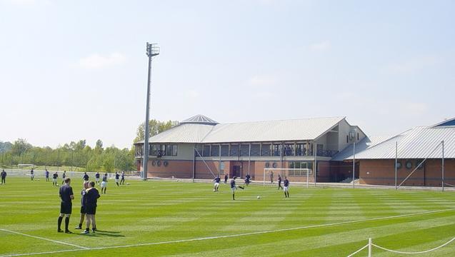
Rangers Training Centre
The Rangers Training Centre is the training ground of Rangers located in Milngavie, East Dunbartonshire, Scotland. It was opened in 2001 and originally...
Boclair Academy
Boclair Academy, a co-educational comprehensive secondary school located in the Greater Glasgow suburb of Bearsden, East Dunbartonshire, Scotland, serves...

Bardowie Castle
Bardowie Castle is located 2 kilometres (1.2 mi) east of Milngavie, in East Dunbartonshire, Scotland. The A-Listed building overlooks Bardowie Loch. The...

New Kilpatrick
New Kilpatrick, (also known as East Kilpatrick or Easter Kilpatrick) is an ecclesiastical Parish and former Civil Parish in Dunbartonshire. It was formed...
Nearby Amenities
Located within 500m of 55.92546,-4.292742Have you been to Crow Hill?
Leave your review of Crow Hill below (or comments, questions and feedback).