Beinn a' Bhuic
Hill, Mountain in Perthshire
Scotland
Beinn a' Bhuic

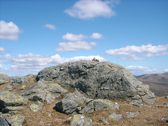
Beinn a' Bhuic, also known as Ben Bhuidhe, is a prominent hill located in Perthshire, Scotland. It stands at an elevation of 855 meters (2805 feet) and is part of the Grampian Mountains range. Beinn a' Bhuic is situated approximately 10 kilometers (6 miles) northeast of the village of Crianlarich and is easily accessible for hikers and outdoor enthusiasts.
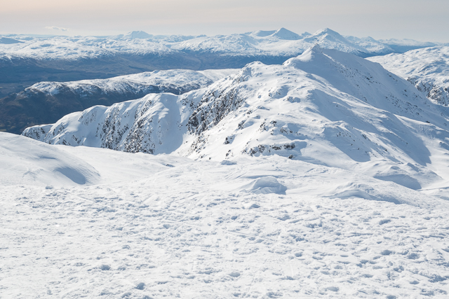
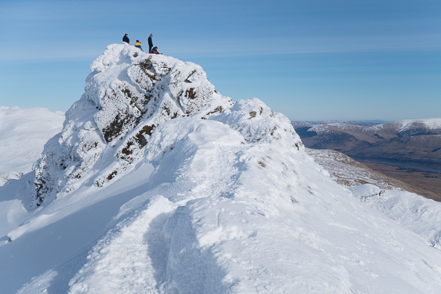
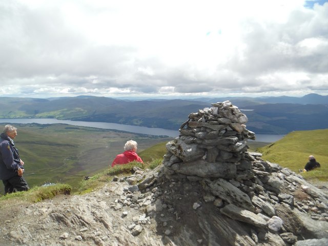
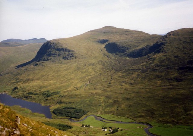
The hill offers stunning panoramic views of the surrounding landscapes, including the nearby Loch Lomond and Trossachs National Park. Its summit provides a perfect vantage point to admire the rugged beauty of the Scottish Highlands, with its rolling hills, vast moorlands, and serene lochs. On a clear day, it is even possible to see the peaks of other famous mountains like Ben Lui and Ben More.
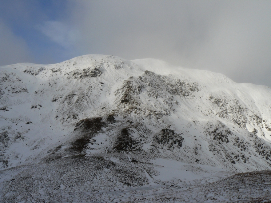
The ascent to Beinn a' Bhuic can be challenging, with steep and rocky terrain, particularly towards the summit. However, it is a popular destination for hillwalkers and climbers who are seeking a rewarding and exhilarating outdoor experience. There are several routes to reach the top, with the most common starting point being the parking area at Dalrigh, near Tyndrum.
Hikers are advised to be well-prepared, wearing appropriate clothing and footwear, and carrying essential supplies such as food, water, and a map or GPS device. The weather conditions on Beinn a' Bhuic can change rapidly, so it is essential to check the forecast beforehand and be aware of any potential hazards.
Overall, Beinn a' Bhuic is a magnificent mountain in Perthshire, offering outdoor enthusiasts an opportunity to explore the stunning natural beauty of the Scottish Highlands.
If you have any feedback on the listing, please let us know in the comments section below.
Beinn a' Bhuic Images
Images are sourced within 2km of 56.528677/-4.3311847 or Grid Reference NN5639. Thanks to Geograph Open Source API. All images are credited.


Beinn a' Bhuic is located at Grid Ref: NN5639 (Lat: 56.528677, Lng: -4.3311847)
Unitary Authority: Perth and Kinross
Police Authority: Tayside
What 3 Words
///vibrates.trophy.reckon. Near Pubil, Perth & Kinross
Nearby Locations
Related Wikis
Meall nan Tarmachan
Meall nan Tarmachan (Scottish Gaelic: [ˈmjaul̪ˠ nən̪ˠ ˈt̪aɾaməxan]) is a mountain in the Southern Highlands of Scotland near Killin just west of Ben Lawers...
Beinn nan Oighreag
Beinn nan Oighreag (910 m) is a mountain in the Grampian Mountains of Scotland. It lies between Glen Lyon and Glen Lochay, on the border of Perthshire...

Meall Corranaich
Meall Corranaich (Scottish Gaelic: Meall Choire Inich) is a mountain with a height of 1,069 metres (3,507 ft) in the Grampian Mountains of Scotland. It...
Meall Ghaordaidh
Meall Ghaordaidh is a mountain in the Southern Highlands of Scotland, approximately 10 km north-west of Killin. The mountain can be ascended via Glen Lochay...
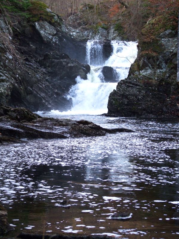
Falls of Lochay
Falls of Lochay is a waterfall in Scotland. == See also == Waterfalls of Scotland == References ==

River Dochart
The River Dochart (Scottish Gaelic: Dochard) is in Perthshire, Scotland. Coming from Ben Lui, it flows east out of Loch Dochart and through the glen of...

Loch Tay railway station
Loch Tay was a railway station located at the head of Loch Tay, Stirling. == History == Opened as Loch Tay Killin Pier on 1 April 1886, the station comprised...
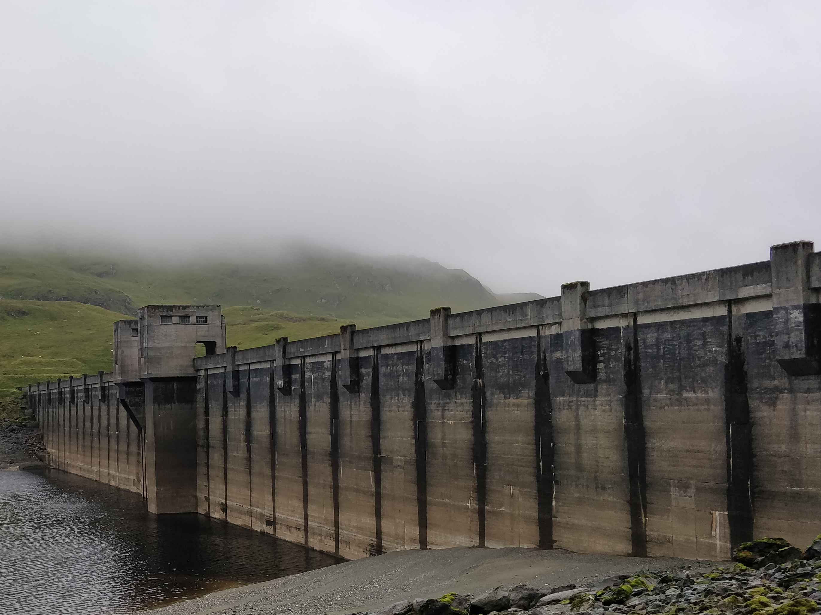
Breadalbane Hydro-Electric Scheme
The Breadalbane Hydro-Electric Scheme is a hydroelectric scheme in the Breadalbane area of Perthshire, Scotland. It comprises seven power stations which...
Nearby Amenities
Located within 500m of 56.528677,-4.3311847Have you been to Beinn a' Bhuic?
Leave your review of Beinn a' Bhuic below (or comments, questions and feedback).