Big Meaul
Hill, Mountain in Kirkcudbrightshire
Scotland
Big Meaul

Big Meaul is a prominent hill located in the historic county of Kirkcudbrightshire in southwestern Scotland. Rising to an elevation of 522 meters (1,713 feet), it is considered one of the notable hills in the area. Situated in the Galloway Hills, Big Meaul offers breathtaking views and is a popular destination for outdoor enthusiasts, hikers, and nature lovers.
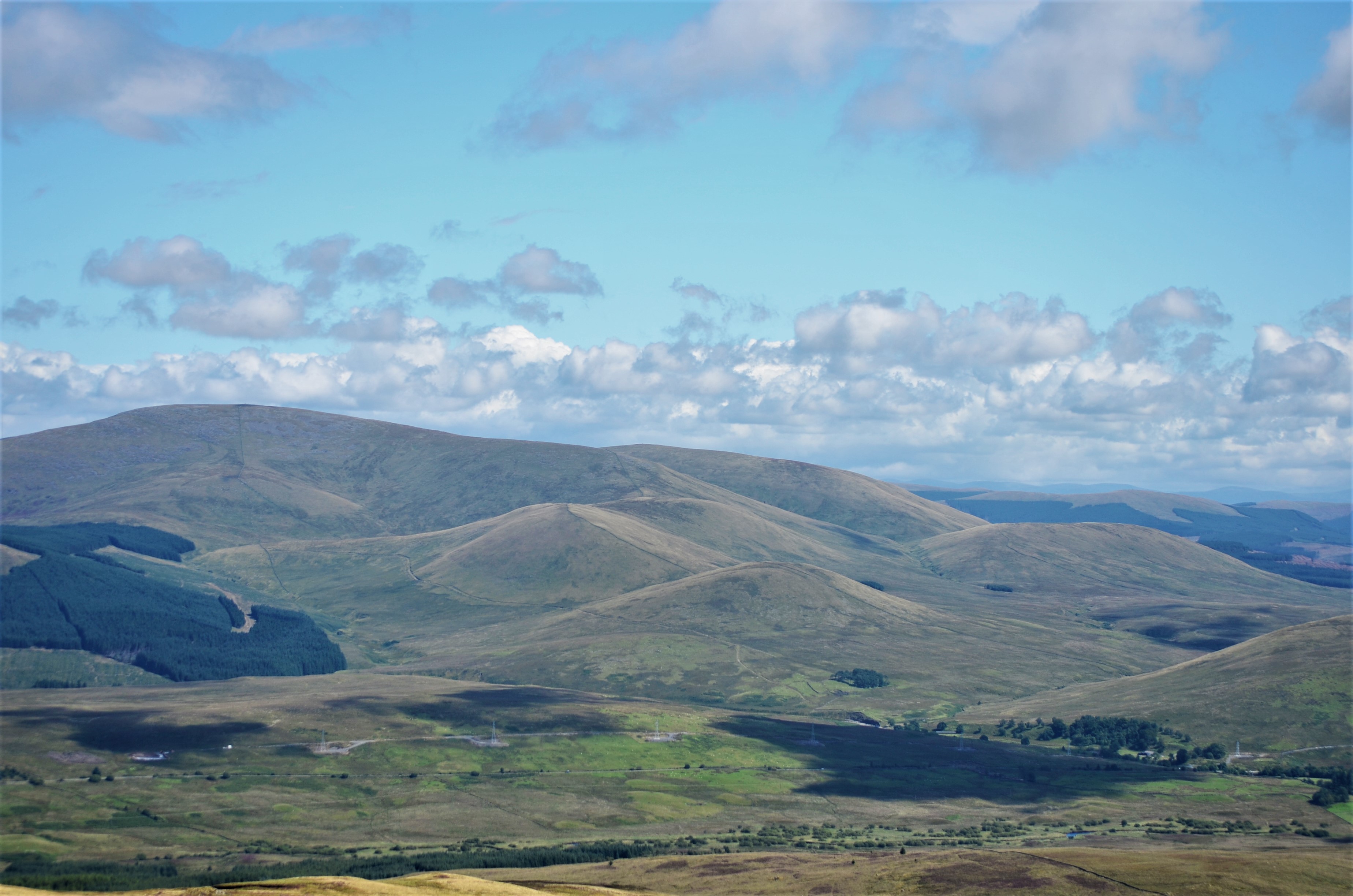
The hill is characterized by its rugged terrain, featuring steep slopes and rocky outcrops. Its distinctive shape, with a rounded summit, makes it easily recognizable from a distance. The vegetation on Big Meaul varies, with heathland and moorland covering the lower slopes, while the higher regions are often characterized by grassy areas and scattered shrubs.
At the summit, on a clear day, visitors are rewarded with panoramic views of the surrounding landscape, including the picturesque Kirkcudbrightshire countryside, the nearby Loch Ken, and the rolling hills stretching towards the horizon. The hill's location within the Galloway Forest Park further enhances its appeal, as it is part of the largest forested area in Britain, offering abundant wildlife and opportunities for birdwatching.
Access to Big Meaul is relatively easy, with several walking routes available for visitors to choose from. These routes often start from nearby villages, such as Mossdale or Carsphairn, and can vary in length and difficulty, catering to different levels of hikers' abilities. However, it is advisable to come prepared with appropriate footwear and clothing, as the weather conditions in the area can change rapidly.
In summary, Big Meaul is a prominent hill in Kirkcudbrightshire, offering stunning views, diverse vegetation, and a range of outdoor activities for visitors to enjoy.
If you have any feedback on the listing, please let us know in the comments section below.
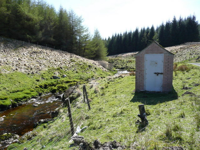
Big Meaul Images
Images are sourced within 2km of 55.27328/-4.2606034 or Grid Reference NS5600. Thanks to Geograph Open Source API. All images are credited.
Big Meaul is located at Grid Ref: NS5600 (Lat: 55.27328, Lng: -4.2606034)
Unitary Authority: Dumfries and Galloway
Police Authority: Dumfries and Galloway
What 3 Words
///survive.wasp.inclines. Near Bellsbank, East Ayrshire
Nearby Locations
Related Wikis
Cairnsmore of Carsphairn
Cairnsmore of Carsphairn is a hill in the Carsphairn and Scaur Hills range, part of the Southern Uplands of Scotland. An alternative name, rarely used...
Windy Standard
Windy Standard is a hill in the Carsphairn and Scaur Hills range, part of the Southern Uplands of Scotland. It lies in Dumfries and Galloway, south of...
Carsphairn
Carsphairn (Scottish Gaelic: An Còrsa Feàrna) is a village in the historic county of Kirkcudbrightshire in Dumfries and Galloway, Scotland. It is located...
Loch Doon
Loch Doon (Scottish Gaelic: Loch Dùin, pronounced [l̪ˠɔxˈt̪uːɲ]) is a freshwater loch in Carrick, Scotland. The River Doon issues from its northern end...
Have you been to Big Meaul?
Leave your review of Big Meaul below (or comments, questions and feedback).


