Bennan
Hill, Mountain in Kirkcudbrightshire
Scotland
Bennan

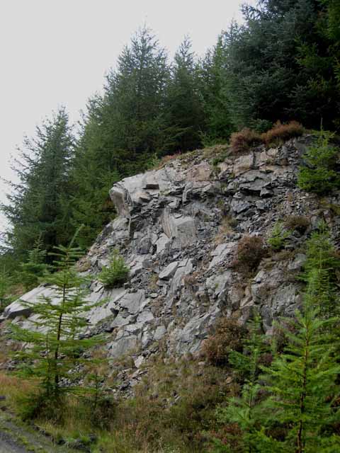
Bennan is a small hill located in the historic county of Kirkcudbrightshire, in southwest Scotland. It is part of the larger Galloway Hills range, which forms a stunning backdrop to the town of New Galloway. Standing at an elevation of approximately 568 meters (1,864 feet), Bennan offers breathtaking views of the surrounding landscape.
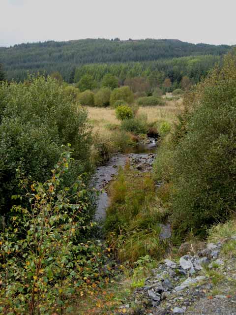
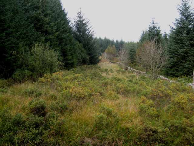
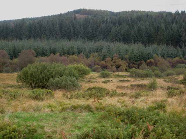
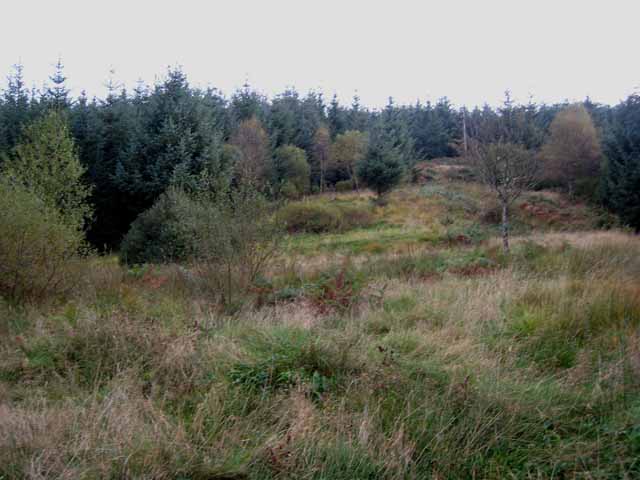
The hill is predominantly covered in heather and grass, with scattered patches of woodland. It is a popular destination for outdoor enthusiasts, including hikers, ramblers, and nature lovers. A well-maintained footpath leads to the summit, making it accessible to people of various fitness levels.
At the top of Bennan, one can witness panoramic vistas of the picturesque Galloway Forest Park, with its rolling hills, dense forests, and shimmering lochs. On a clear day, it is even possible to see as far as the Irish Sea and the Isle of Man.
Wildlife is abundant in the area, with red deer, red squirrels, and various bird species commonly spotted. The hill is also home to several species of wildflowers and plants, adding to its natural beauty.
Bennan is not only a place of natural beauty but also holds historical significance. It is said that the hill was once used as a lookout point during the Roman period, providing strategic advantage over the surrounding landscape.
Overall, Bennan is a must-visit destination for those seeking tranquility, stunning views, and a chance to immerse themselves in the natural wonders of Kirkcudbrightshire.
If you have any feedback on the listing, please let us know in the comments section below.
Bennan Images
Images are sourced within 2km of 55.084806/-4.2517719 or Grid Reference NX5679. Thanks to Geograph Open Source API. All images are credited.


Bennan is located at Grid Ref: NX5679 (Lat: 55.084806, Lng: -4.2517719)
Unitary Authority: Dumfries and Galloway
Police Authority: Dumfries and Galloway
What 3 Words
///slanting.boater.wanted. Near Newton Stewart, Dumfries & Galloway
Nearby Locations
Related Wikis

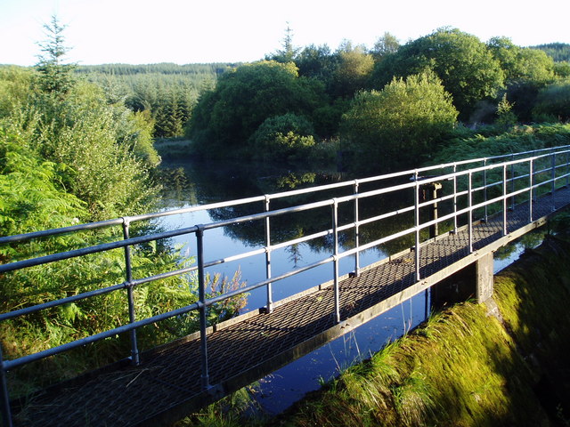
Clatteringshaws Loch
Clatteringshaws Loch is a freshwater reservoir in the historical county of The Stewartry of Kirkcudbright in Dumfries and Galloway, Scotland. It was created...

St John's Town of Dalry
St John's Town of Dalry (Scottish Gaelic: Clachan Eòin), usually referred to simply as Dalry (/dæl'raɪ/ / 'dal-RYE'), is a village in Dumfries and Galloway...

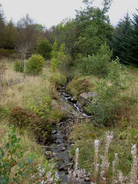
Polharrow Burn
Polharrow Burn is a small watercourse in Dumfries and Galloway, Scotland, in the historic county of Kirkcudbrightshire. It rises in Loch Harrow and flows...

Waukers Linn
Waukers Linn is a waterfall on Polharrow Burn in Dumfries and Galloway, Scotland. == See also == Waterfalls of Scotland == References ==
Nearby Amenities
Located within 500m of 55.084806,-4.2517719Have you been to Bennan?
Leave your review of Bennan below (or comments, questions and feedback).