Graham's Cairn
Hill, Mountain in Stirlingshire
Scotland
Graham's Cairn
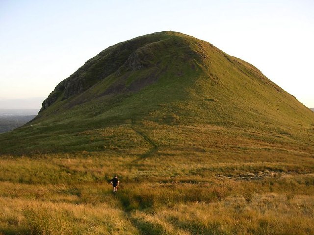
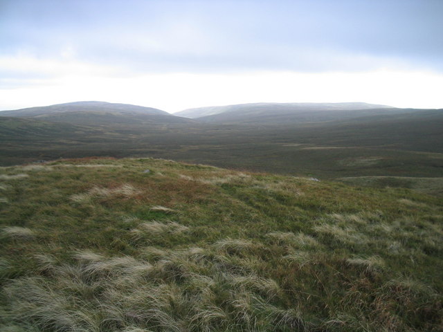
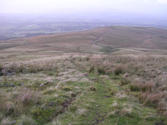
Graham's Cairn, located in Stirlingshire, Scotland, is a prominent hill or mountain that attracts numerous outdoor enthusiasts and hikers. It is one of the many peaks in the area that form part of the Scottish mountains, known for their scenic beauty and rugged landscapes.
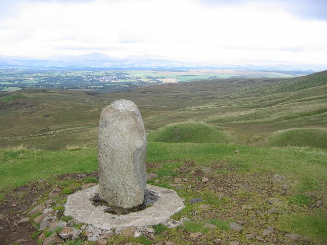
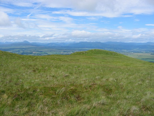
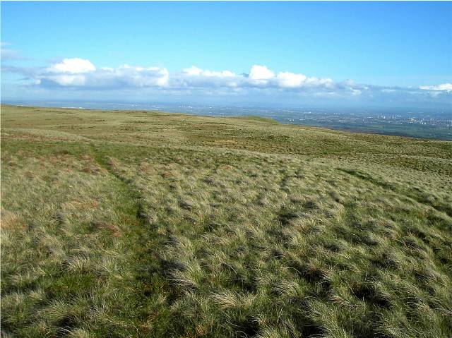
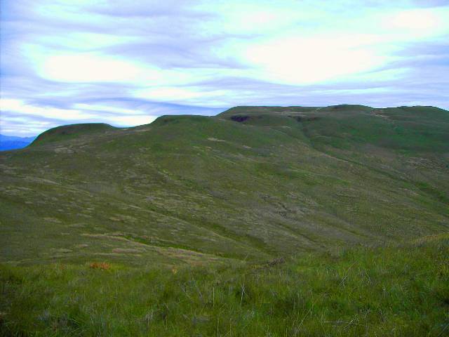
Standing at an elevation of approximately 2,776 feet (846 meters), Graham's Cairn offers stunning panoramic views of the surrounding countryside and beyond. On clear days, it is possible to see the nearby Loch Lomond and the Trossachs National Park, as well as the peaks of the Southern Highlands.
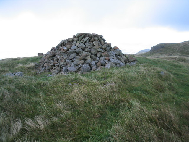
The hill is named after its distinct cairn, a man-made pile of stones that marks the summit. This cairn has historical significance, as it is believed to have been built during the Bronze Age, possibly serving as a burial site or a navigational marker for ancient travelers.
Reaching the summit of Graham's Cairn requires a moderate level of fitness and hiking experience, as the ascent can be challenging in certain sections. However, the reward is well worth the effort, as hikers are treated to breathtaking views and a sense of accomplishment upon reaching the top.
The surrounding area offers a variety of trails and paths, making Graham's Cairn an ideal destination for both experienced mountaineers and amateur hikers alike. Visitors are advised to come prepared with appropriate clothing, sturdy footwear, and provisions for a day in the outdoors.
Overall, Graham's Cairn in Stirlingshire is a remarkable natural landmark that provides an opportunity to explore Scotland's stunning mountainous landscapes while immersing oneself in its rich history and heritage.
If you have any feedback on the listing, please let us know in the comments section below.
Graham's Cairn Images
Images are sourced within 2km of 56.016001/-4.3147607 or Grid Reference NS5582. Thanks to Geograph Open Source API. All images are credited.


Graham's Cairn is located at Grid Ref: NS5582 (Lat: 56.016001, Lng: -4.3147607)
Unitary Authority: Stirling
Police Authority: Forth Valley
What 3 Words
///refutes.reckon.nuptials. Near Strathblane, Stirling
Nearby Locations
Related Wikis

Campsie Fells
The Campsie Fells (also known as the Campsies; Scottish Gaelic: Monadh Chamaisidh) are a range of hills in central Scotland, stretching east to west from...

Dumfoyn
Dumfoyn is a hill in the Campsie Fells of Scotland. It is a volcanic plug, and rises to 426 metres (1,398 ft). It sits beside another hill, Dumgoyne which...

Earl's Seat
Earl's Seat (578 m) is the highest hill of the Campsie Fells in Central Scotland. It lies on the border of Stirlingshire and East Dunbartonshire in central...

Dumgoyne
Dumgoyne is a hill prominent on the edge of the Campsie Fells and is a well-known landmark visible from Glasgow. It is a volcanic plug and is 427 m (1...

Glengoyne distillery
Glengoyne distillery is a whisky distillery continuously in operation since its founding in 1833 at Dumgoyne, north of Glasgow, Scotland. Glengoyne is...
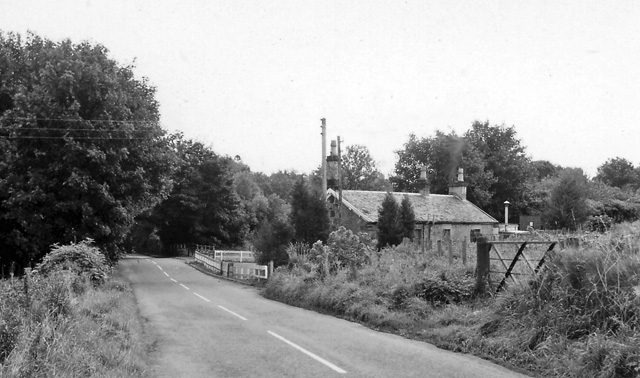
Blanefield railway station
Blanefield railway station served the village of Blanefield, Stirling, Scotland from 1867 to 1959 on the Blane Valley Railway. == History == The station...
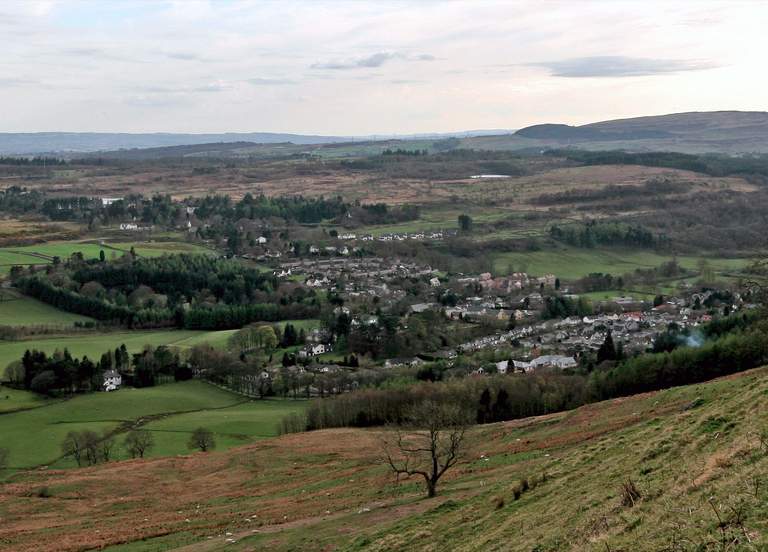
Blanefield
Blanefield is a settlement in Scotland contiguous with Strathblane's northwestern fringe. To the west is the volcanic plug Dumgoyne, Glengoyne Distillery...
Strathblane
Strathblane (Scottish Gaelic: Strath Bhlàthain, pronounced [s̪t̪ɾahˈvl̪ˠaː.ɪɲ]) is a village and parish in the registration county of Stirlingshire, situated...
Have you been to Graham's Cairn?
Leave your review of Graham's Cairn below (or comments, questions and feedback).