Clogwynygarreg
Hill, Mountain in Caernarfonshire
Wales
Clogwynygarreg

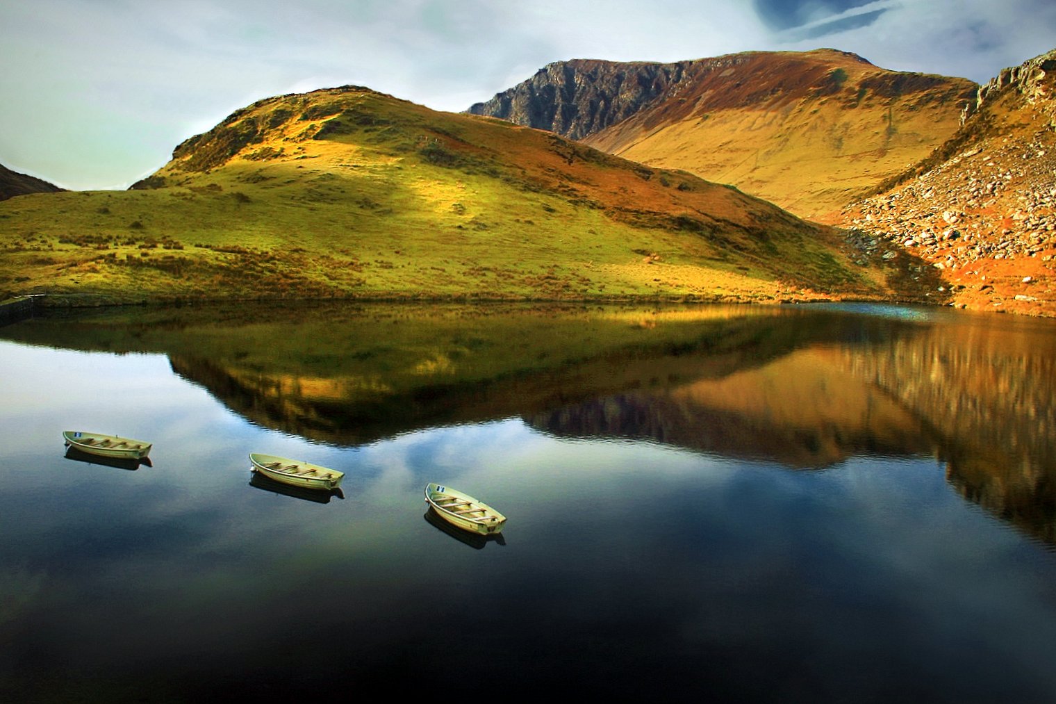
Clogwynygarreg is a prominent hill located in Caernarfonshire, a county in northwest Wales. Rising to an elevation of approximately 356 meters (1,168 feet), it forms part of the larger Snowdonia National Park, renowned for its breathtaking landscapes and outdoor activities.
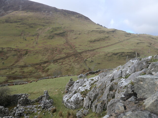
Situated just southeast of the town of Caernarfon, Clogwynygarreg offers stunning panoramic views of the surrounding area. Its distinctive rocky terrain is a result of its geological composition, with a mix of sedimentary and volcanic rock formations. The hill is also home to a variety of plant and animal species, including heather, bilberry, and the occasional mountain hare.
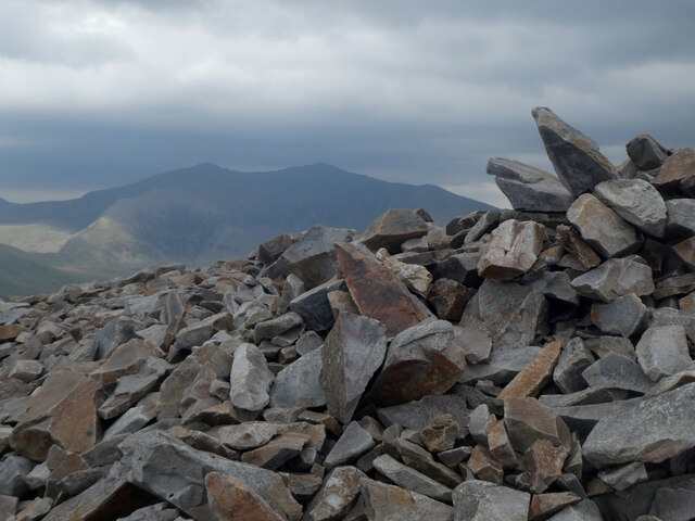
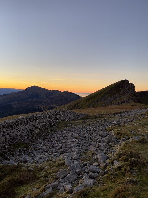
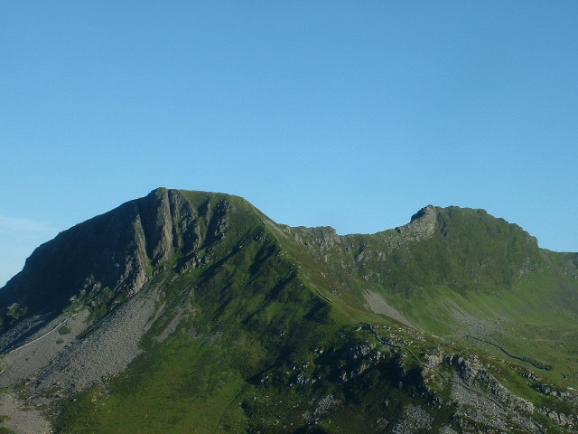
The ascent to the summit of Clogwynygarreg is a popular hiking route for outdoor enthusiasts. Although the climb can be challenging at times, it rewards visitors with awe-inspiring vistas of the Snowdonia region, including the nearby mountains of Snowdon and Moel Eilio. On clear days, it is even possible to catch glimpses of the Irish Sea in the distance.
For those seeking a more leisurely experience, there are several walking trails at the base of the hill that allow visitors to explore the surrounding countryside. Additionally, Clogwynygarreg is a popular spot for rock climbers, with its steep faces providing a thrilling challenge for experienced climbers.
Overall, Clogwynygarreg offers both beauty and adventure, making it a must-visit destination for nature lovers and outdoor enthusiasts in Caernarfonshire.
If you have any feedback on the listing, please let us know in the comments section below.
Clogwynygarreg Images
Images are sourced within 2km of 53.061068/-4.154369 or Grid Reference SH5553. Thanks to Geograph Open Source API. All images are credited.


![Clogwyn, a ruined cottage alongside the road to Nantlle The cottage is shown on large-scale OS maps surveyed in the 1880s. A damaged slate sign on the windowsill reads 'Clogwyn Fawr[?] lle qwyd y Brodyr Francis', which I think in English is 'Clogwyn, where the Francis brothers were'.](https://s2.geograph.org.uk/geophotos/07/12/98/7129894_7a0c87e9.jpg)


Clogwynygarreg is located at Grid Ref: SH5553 (Lat: 53.061068, Lng: -4.154369)
Unitary Authority: Gwynedd
Police Authority: North Wales
What 3 Words
///posed.beam.typified. Near Llanberis, Gwynedd
Nearby Locations
Related Wikis
Y Garn (Nantlle Ridge)
Y Garn is a top of Mynydd Drws-y-Coed in Snowdonia, north Wales and is the easterly end of the Nantlle Ridge.It has steep north-facing cliffs, the summit...
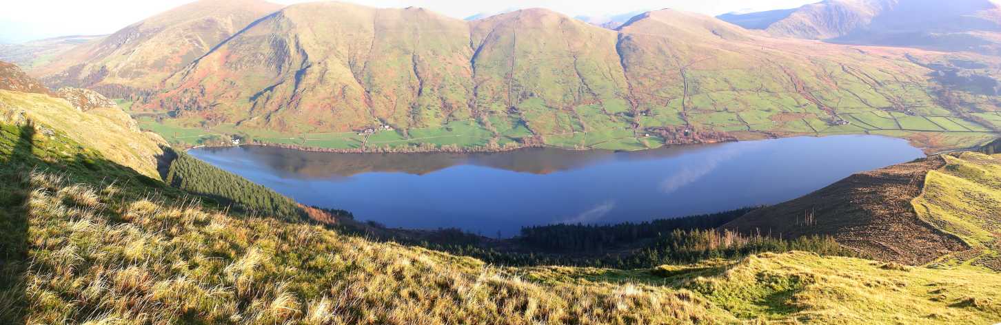
Llyn Cwellyn
Llyn Cwellyn (Llyn Quellyn in some antiquated texts) is a reservoir in North Wales which supplies drinking water to parts of Gwynedd and Anglesey. It lies...
Rhyd-ddu
Rhyd-ddu (; Welsh: [ˌr̥iːdˈðiː]; lit. 'black ford') is a small village in Snowdonia, North Wales which is a starting point for walks up Snowdon (via the...

Snowdon Ranger railway station
Snowdon Ranger is a station on the narrow gauge Welsh Highland Railway, which was built in 1878 as the North Wales Narrow Gauge Railways Moel Tryfan Undertaking...
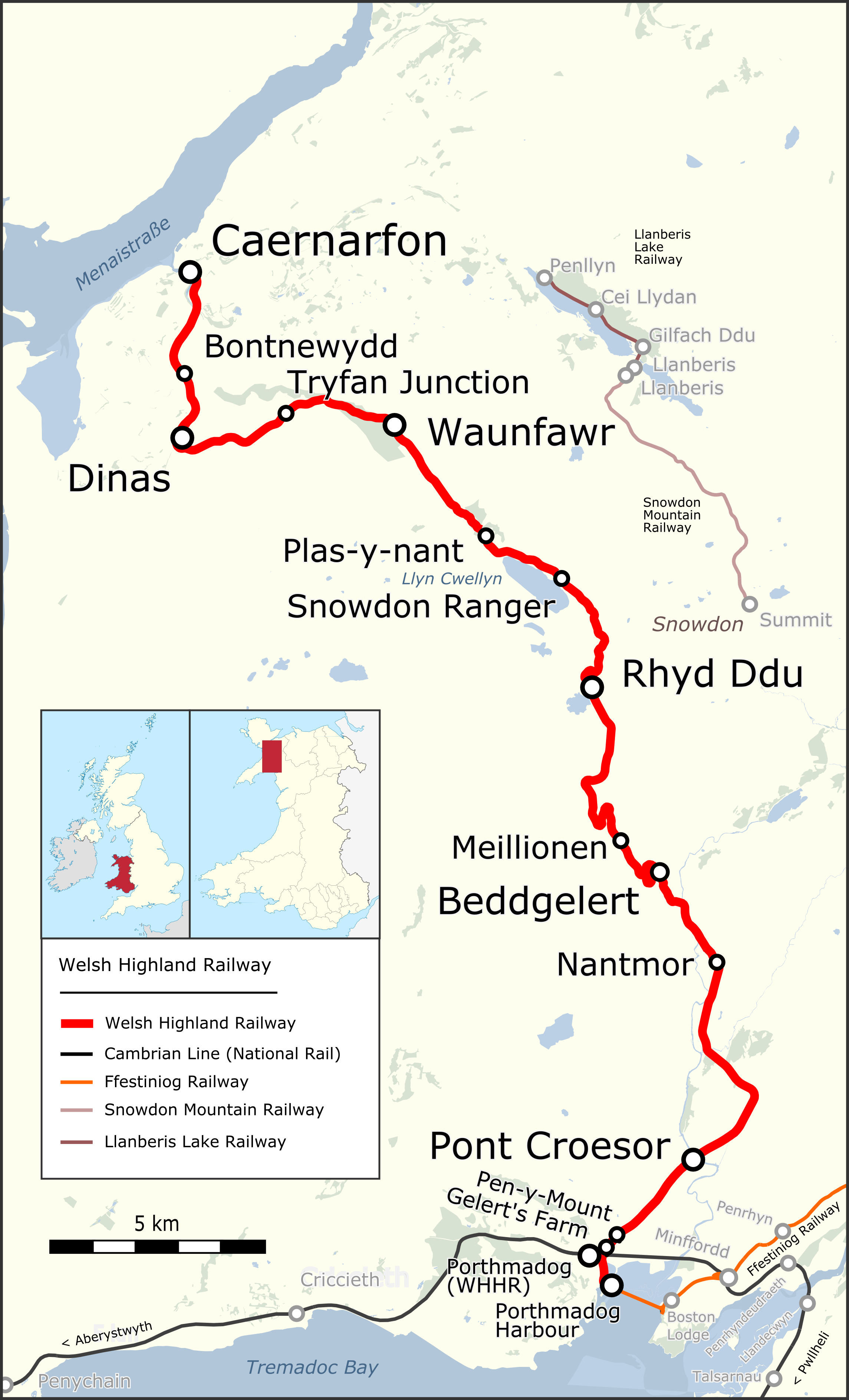
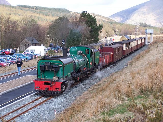
Welsh Highland Railway
The Welsh Highland Railway (WHR; Welsh: Rheilffordd Eryri) is a 25-mile (40.2 km) long, restored 1 ft 11+1⁄2 in (597 mm) narrow gauge heritage railway...
Rhyd Ddu railway station
Rhyd Ddu is a station on the narrow gauge Welsh Highland Railway, which was built in 1881 as the North Wales Narrow Gauge Railways Moel Tryfan Undertaking...

Mynydd Drws-y-Coed
Mynydd Drws-y-Coed is a peak on the Nantlle Ridge in Snowdonia, north Wales. It is located at the easterly end of the ridge, and is a subsidiary summit...

Mynydd Mawr
Mynydd Mawr (Welsh for big mountain) is a mountain in Snowdonia, North Wales, approximately 7 km (4.3 mi) west of Snowdon itself, overlooking Llyn Cwellyn...
Nearby Amenities
Located within 500m of 53.061068,-4.154369Have you been to Clogwynygarreg?
Leave your review of Clogwynygarreg below (or comments, questions and feedback).